The best MTB trails around National Park Hoces del Cabriel
4.5
(18)
243
riders
46
rides
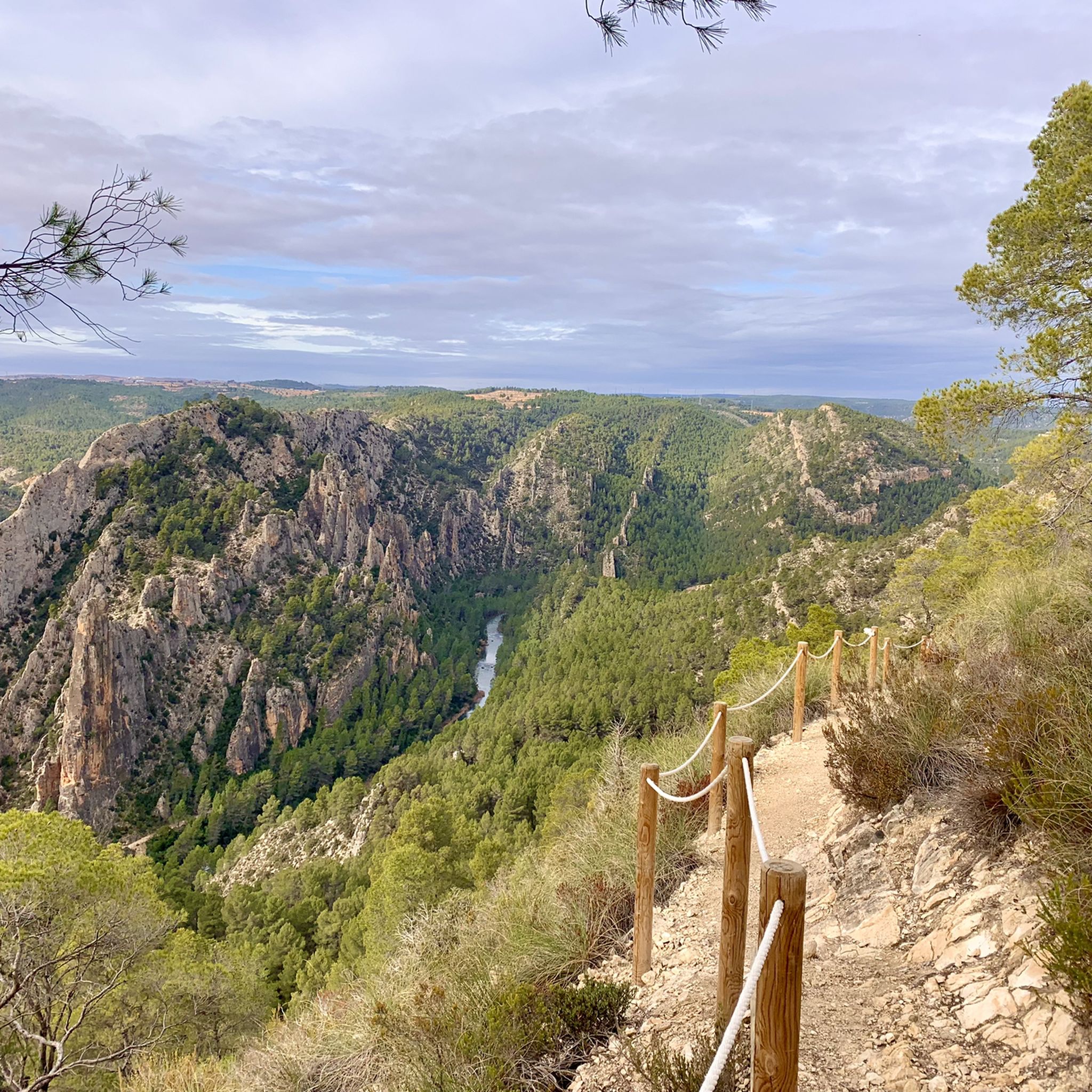
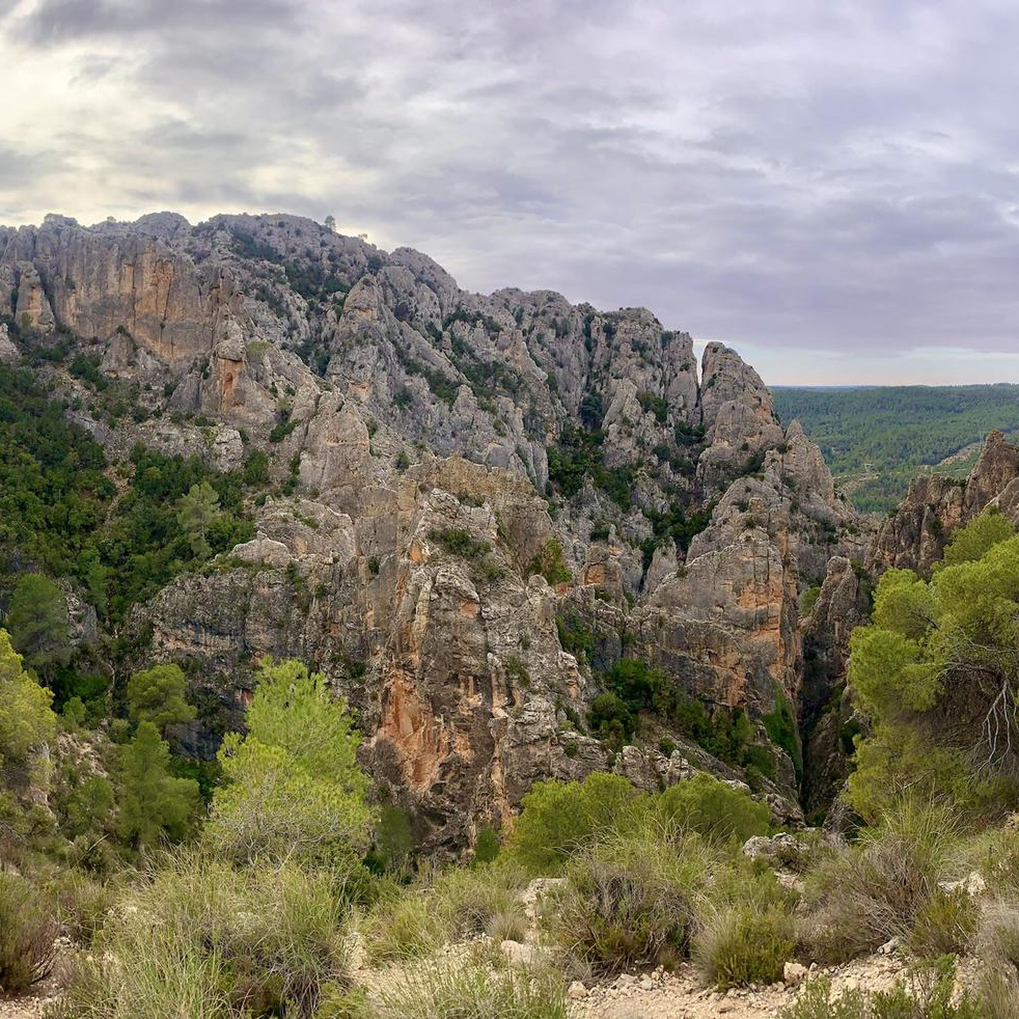
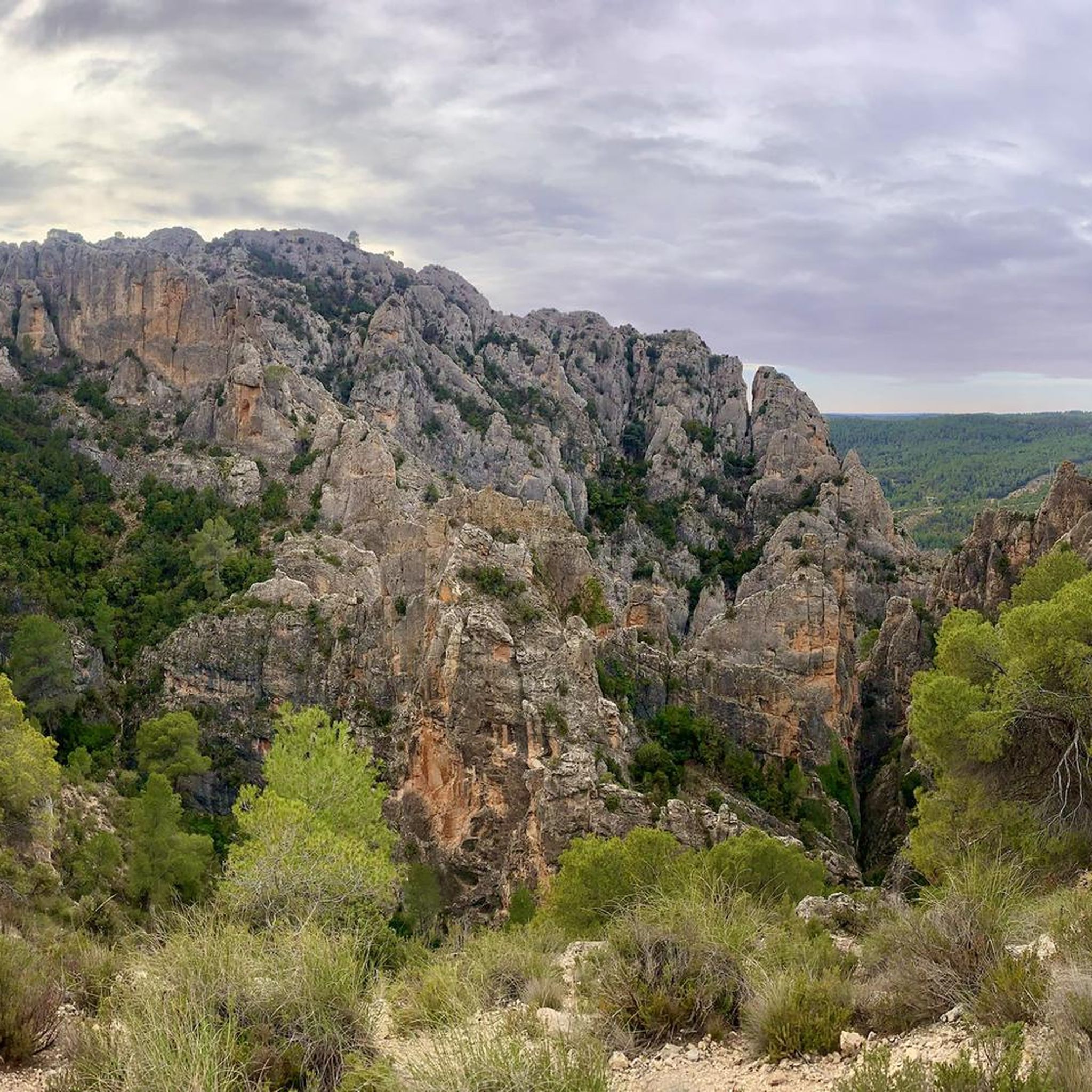
Mountain biking around National Park Hoces del Cabriel features a diverse landscape shaped by the Cabriel River, which carves out dramatic gorges and vertical stone ridges. The park encompasses extensive riverine forests, Mediterranean vegetation, and unique geological formations like "Los Cuchillos de Contreras." Trails often follow the riverbanks, ascend through forested areas, and offer views of the Contreras Reservoir. The terrain includes both less demanding track-like sections and technical singletracks with varied elevation changes.
Best mountain bike trails around National…
Last updated: July 11, 2026
56.0km
04:57
780m
780m
Moderate mountain bike ride. Good fitness required. Advanced riding skills necessary.
6
riders
Hard mountain bike ride. Very good fitness required. Suitable for all skill levels.

Sign up for free
4.0
(1)
8
riders
66.5km
05:43
840m
840m
Hard mountain bike ride. Very good fitness required. Suitable for all skill levels.
5.0
(1)
7
riders
Hard mountain bike ride. Very good fitness required. Suitable for all skill levels.
4.0
(1)
5
riders
Hard mountain bike ride. Good fitness required. Advanced riding skills necessary. Some portions of the route may require you to push your bike.
Get access to more routes and recommendations from other explorers.
Sign up for free
Already have an account?
Our route recommendations are based on thousands of hikes, rides, and runs completed by other people on komoot.
Start today with a free account
Your next adventure awaits.
Login or Signup
Popular around National Park Hoces del Cabriel

GR 238 Tierra del Vino - A journey on foot through lands of silence
Hiking around National Park Hoces del Cabriel
Road Cycling Routes around National Park Hoces del Cabriel
Cycling around National Park Hoces del Cabriel

Gravel biking around National Park Hoces del Cabriel
Running Trails around National Park Hoces del Cabriel
Other adventures around National Park Hoces del Cabriel

Tips from the Community

Beautiful viewpoint of the dam, the river and the factory.
11
0
The Contreras dam (Embalse de Contreras) is a 129-meter-high arch dam built in 1972. Located on the border of the provinces of Cuenca (Castilla-La Mancha) and Valencia, the dam spans the Cabriel and Guadazaón rivers. The reservoir serves mainly for water supply, flood protection, and irrigation.
11
1
7 bow bridge, so beautiful
11
0
The Contreras reservoir is located between the municipalities of Villargordo del Cabriel in the province of Valencia and La Pesquera, Mira, Enguídanos and Minglanilla in the province of Cuenca, Spain. It was built in 1972. Slightly downstream from the dam is the Contreras bridge, built between 1845 and 1851.
9
0
Villargordo del Cabriel is a municipality in the Requena-Utiel region, in the province of Valencia. The town is located on the banks of the Cabriel River and is on the border between Castilla-La Mancha and the Valencia region. One of the biggest tourist attractions is the beautiful nature, which is remarkably well preserved.
14
0
Small village in a beautiful setting, with a central square, a small shop and a huge church.
13
0

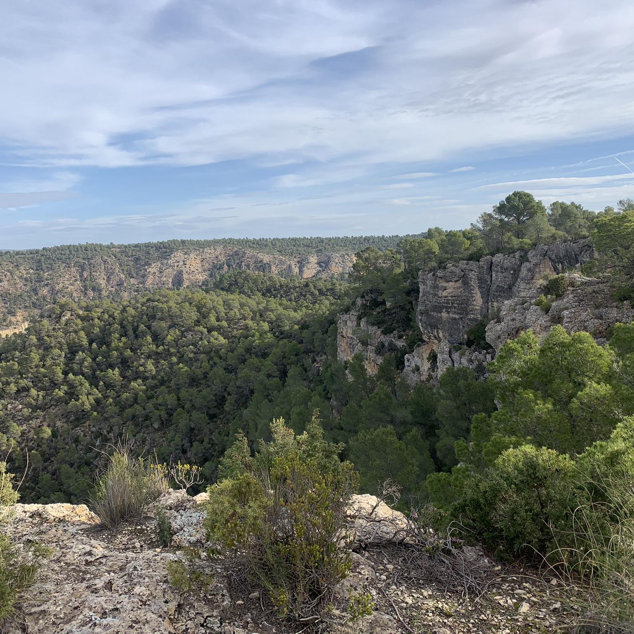
At this point, depending on the direction of your hike, you'll leave the river and head into the hillside, where the trail leads you through a wide pine forest and typical Mediterranean vegetation characteristic of these mountain landscapes. As you ascend, the views open up, revealing breathtaking panoramas of the surrounding area, which can be the perfect excuse to stop for a few moments to rest and savor the scenery before continuing.
0
0
The route is marked with beacons, posts, and other standardized signs with arrows and markings. At this point, there are also signs indicating directions and distances to towns or key locations.
0
0
Frequently Asked Questions
How many mountain bike trails are available in National Park Hoces del Cabriel?
There are over 50 mountain bike trails in National Park Hoces del Cabriel, offering a wide range of options for different skill levels. You'll find routes categorized as easy, moderate, and difficult to suit various preferences.
What kind of terrain can I expect when mountain biking in National Park Hoces del Cabriel?
The terrain in National Park Hoces del Cabriel is highly varied, shaped by the Cabriel River. You'll encounter dramatic river gorges, vertical stone ridges like "Los Cuchillos de Contreras," and trails along the Contreras Reservoir. Routes range from less demanding track-like sections to technical singletracks with significant elevation changes, winding through riverside forests and Mediterranean vegetation.
Are there easy mountain bike trails suitable for beginners or families in National Park Hoces del Cabriel?
Yes, National Park Hoces del Cabriel offers a few easy mountain bike trails. These routes are generally less demanding, making them suitable for beginners or families looking for a more relaxed ride. While the majority of trails are moderate to difficult, there are options to ease into the park's beautiful landscapes.
What are some notable natural features or landmarks I can see along the mountain bike trails?
Mountain biking in Hoces del Cabriel offers continuous impressive views. You can expect to see the dramatic river gorges carved by the Cabriel River, unique geological formations like "Los Cuchillos de Contreras," and the expansive Contreras Reservoir. Many routes also pass by viewpoints such as Peña Azul Viewpoint or Hoz del Rabo de la Sartén Viewpoint, offering stunning panoramas of the valley.
Are there any circular mountain bike routes in National Park Hoces del Cabriel?
Yes, many mountain bike routes in National Park Hoces del Cabriel are circular, allowing you to start and end at the same point. An example is El río Cabriel desde Villatoya — circular por las Salinas, a moderate route that takes you along the Cabriel River and past old saltworks.
What do other mountain bikers enjoy most about the trails in National Park Hoces del Cabriel?
The trails in National Park Hoces del Cabriel are highly rated by the komoot community, with an average score of 4.4 stars. Mountain bikers often praise the dramatic river gorges, the unique "Los Cuchillos de Contreras" rock formations, and the varied forest trails that offer both scenic beauty and engaging riding experiences.
Is it possible to reach the mountain biking areas by public transport?
Access to National Park Hoces del Cabriel primarily relies on private vehicles due to its natural and somewhat remote setting. Public transport options directly to trailheads within the park are limited. It's advisable to plan your journey with a car or arrange local transport to reach your starting point.
Are there specific parking facilities for mountain bikers in National Park Hoces del Cabriel?
While specific designated 'mountain biker' parking facilities might not be explicitly signposted, you can generally find parking in the villages surrounding the National Park, such as Villatoya or Villargordo del Cabriel, which serve as common starting points for many routes. Always check local signage for any restrictions.
What is the best time of year to go mountain biking in National Park Hoces del Cabriel?
The best time for mountain biking in National Park Hoces del Cabriel is typically during spring (April to June) and autumn (September to November). During these seasons, the weather is generally milder, and the natural landscapes are at their most vibrant, making for more comfortable and scenic rides. Summers can be very hot, and winters can be chilly, especially at higher elevations.
Are there any regulations or permits required for mountain biking in the National Park?
As a National Park, there may be specific regulations to protect the natural environment. While general mountain biking on established trails typically doesn't require a permit, it's always recommended to check the official National Park website or local information centers for any specific rules, especially concerning protected areas or sensitive habitats. Always stick to marked trails to minimize your impact.
Can I find places to eat or drink near the mountain bike trails?
Yes, you can find cafes, pubs, and restaurants in the villages bordering National Park Hoces del Cabriel, such as Villatoya, Villargordo del Cabriel, or La Higuera. These towns offer opportunities to refuel and relax after your ride, often serving local cuisine and refreshments.
Are there any routes that offer views of the 'Los Cuchillos de Contreras'?
Absolutely. The dramatic "Los Cuchillos de Contreras" are a highlight of the park. Routes like Peña Azul Viewpoint – La Higuera - Cabriel River loop from Sendero de Los Cuchillos del Cabriel specifically traverse or offer impressive views of these unique knife-shaped rock formations.
Are there any mountain bike trails that follow the Cabriel River?
Many mountain bike trails in National Park Hoces del Cabriel closely follow the Cabriel River, which is central to the park's landscape. These routes often provide stunning views of the river's crystal-clear, turquoise-blue waters and the gorges it has carved. For example, the Way of the Cross of Caravaca – Río Cabriel loop from Villatoya leads through the Cabriel River valley.
Most popular routes around National Park Hoces del Cabriel
Most popular attractions around National Park Hoces del Cabriel

Get inspired with the komoot mobile app


Explore more
Browse the best MTB trails in other regions.
