The best walks and hikes around Quintanilla Del Coco
4.3
(86)
678
hikers
51
hikes
Hiking around Quintanilla Del Coco offers routes through varied landscapes, including gorges and hills. The region features natural areas like the Mataviejas Gorge and trails leading to historical hermitages. This terrain provides a mix of easy and moderate paths suitable for different hiking preferences.
Best hiking trails around Quintanilla Del Coco
- The most popular hiking route is Mataviejas Gorge Trail, a 3.5 miles (5.6 km) trail that takes 1 hour 28 minutes to complete. This easy route follows the…
Last updated: June 24, 2026
4.7
(3)
30
hikers
5.59km
01:28
50m
50m
Hike the easy 3.5-mile (5.6 km) Castroceniza from Ura through the Mataviejas Gorge, featuring dramatic rock formations and birdwatching.
6
hikers
10.4km
02:58
230m
230m
Hike the moderate 6.4-mile (10.4 km) Castroceniza from Ura circular route through Desfiladero de Mataviejas, featuring gorges and vultures.

Sign up for free
5.0
(1)
7
hikers
12.4km
03:19
130m
130m
Hike the moderate 7.7-mile Santibañez del Val circular trail to see the Churrión Cascade, historic hermitages, and juniper forests.
4.5
(2)
2
hikers
8.06km
02:15
150m
150m
Hike the moderate 5.0-mile Sendero del Montecillo (PRC-BU 130) circular route from Puentedura, exploring a mosaic landscape.
2
hikers
12.7km
03:36
280m
280m
Hike the moderate 7.9-mile Cerro Marota circular route from Puentedura via Ura, gaining 917 feet of elevation in Sabinares del Arlanza.
Get access to more routes and recommendations from other explorers.
Sign up for free
Already have an account?
Our route recommendations are based on thousands of hikes, rides, and runs completed by other people on komoot.
Start today with a free account
Your next adventure awaits.
Login or Signup


Tips from the Community

A spectacular waterfall with dizzying walls
0
0

El Montecillo is a beautiful place that gives its name to the trail that begins in the town of Puentedura.
0
0
The small waterfall of El Churrión, which depending on the time of year can carry a lot of water or be completely dry. The walk is nice and easy. If you are lucky you will see deer in the area.
1
0
Small hermitage on the way to the Churrión chorrera. Near the hermitage there is a recreational area.
1
0
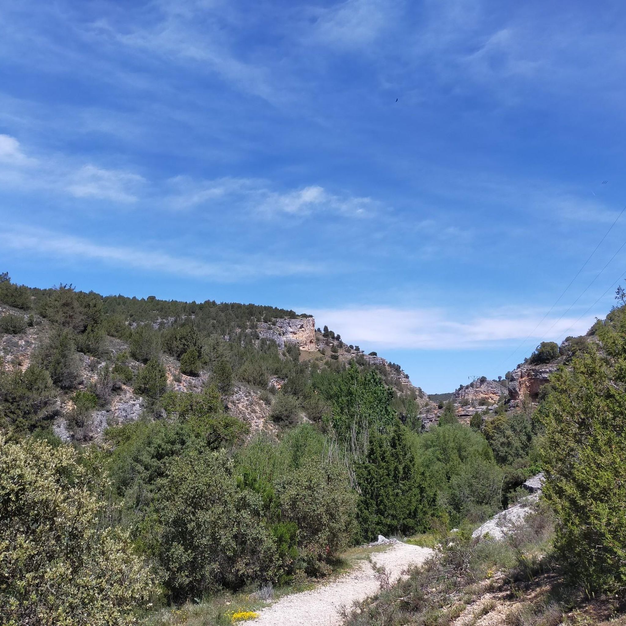
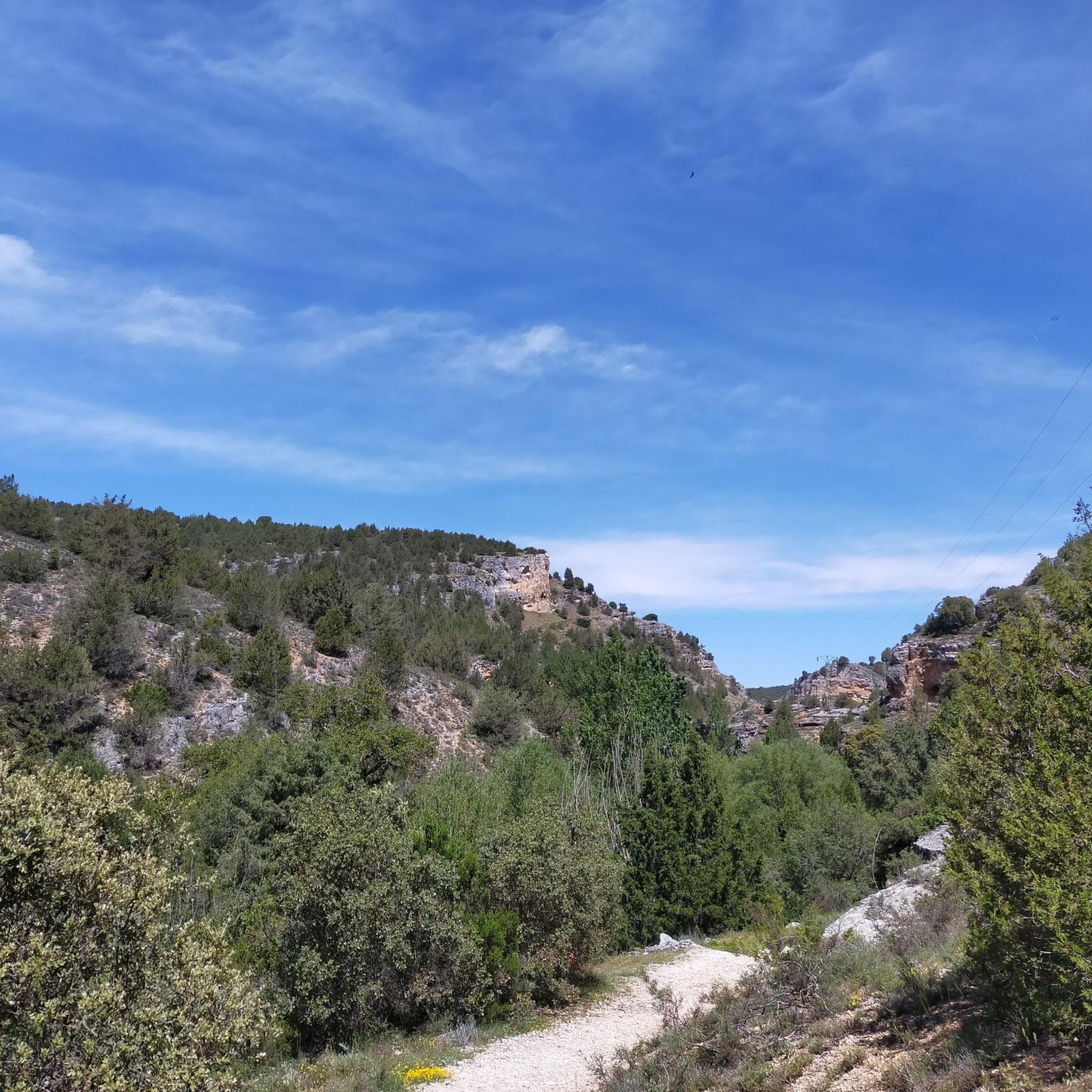
The Mataviejas river forms a beautiful gorge between the towns of Castroceniza and Ura. The walk is easy and pleasant, accessible also for children. It is recommended to visit this unknown but very interesting place. In summer, it is essential to carry water, since the path is exposed and without shade.
1
0

Small religious temple built at the end of the 9th or beginning of the 10th century. The hermitage has a single nave topped by a flat head made of ashlar stone and sillarejo.
1
0
Frequently Asked Questions
How many hiking trails are available around Quintanilla Del Coco?
Quintanilla Del Coco offers a diverse network of over 45 hiking trails. These routes traverse varied landscapes, including scenic gorges and rolling hills, providing options for different preferences and skill levels.
Are there easy hiking trails suitable for beginners in Quintanilla Del Coco?
Yes, Quintanilla Del Coco has several easy hiking options. For instance, the Mataviejas Gorge Trail is an easy 3.5-mile (5.6 km) route that follows the natural contours of the gorge, perfect for a relaxed walk.
What kind of circular walks can I find in the area?
You can find several circular routes that allow you to start and end in the same location. A popular choice is the Mataviejas Gorge Loop Trail, a moderate 6.4-mile (10.4 km) path offering continuous views of the gorge and surrounding natural areas.
Are there any family-friendly hiking routes in Quintanilla Del Coco?
Many of the easier trails are suitable for families. The region's natural areas and relatively gentle terrain on routes like the Mataviejas Gorge Trail make for enjoyable outings with children, offering accessible paths through picturesque landscapes.
What are some interesting historical or natural landmarks to see while hiking?
The trails around Quintanilla Del Coco lead to various points of interest. You can explore historical sites along the Hermitages Trail (PRC-BU 120), which passes through natural landscapes and cultural landmarks. Additionally, the region features highlights like the Sad Hill Cemetery and the Monasterio de Santo Domingo de Silos, which can be incorporated into your hiking plans.
What is the best time of year to go hiking in Quintanilla Del Coco?
The best time for hiking in Quintanilla Del Coco is generally during spring and autumn when the weather is mild and the natural scenery is at its most vibrant. Summer can also be pleasant, especially in the mornings or late afternoons, while winter offers a different, often quieter, experience, though some paths might be more challenging due to conditions.
Are there any moderate difficulty trails for more experienced hikers?
Yes, for those seeking a bit more challenge, there are numerous moderate trails. The El Montecillo Trail is a moderate 5-mile (8.1 km) route that offers varied terrain and elevation changes, providing a rewarding experience for hikers with some experience.
What do other hikers say about the trails in Quintanilla Del Coco?
The hiking routes in Quintanilla Del Coco are highly regarded by the komoot community, boasting an average rating of 4.3 stars from over 70 reviews. Hikers often praise the diverse landscapes, the well-maintained paths, and the opportunity to explore both natural beauty and historical sites.
Are there any trails that combine natural beauty with cultural sites?
Absolutely. The Hermitages Trail (PRC-BU 120) is an excellent example, leading through natural landscapes while connecting various historical hermitages. This 7.7-mile (12.4 km) trail offers a rich blend of outdoor activity and cultural exploration.
Can I find trails that offer views of the wider region?
Many trails in Quintanilla Del Coco provide expansive views, particularly those that ascend the local hills. For instance, the Puentedura and Mataviejas Gorge Loop, a moderate 7.9-mile (12.7 km) route, offers elevated perspectives of the Mataviejas Gorge and the surrounding countryside.
Are there any specific viewpoints or summits accessible by hiking?
Yes, the region features several points offering panoramic views. Hikers can reach summits like Alto de la Cabeza Summit or Cerro San Cristóbal, which provide excellent vantage points over the landscape. Additionally, the View of Peña de Carazo is a notable highlight for scenic vistas.
Most popular routes around Quintanilla Del Coco
Most popular attractions around Quintanilla Del Coco

Get inspired with the komoot mobile app


Explore more
Browse the best Hikes in other regions.
