The best MTB trails around Paracuellos
15
riders
5
rides
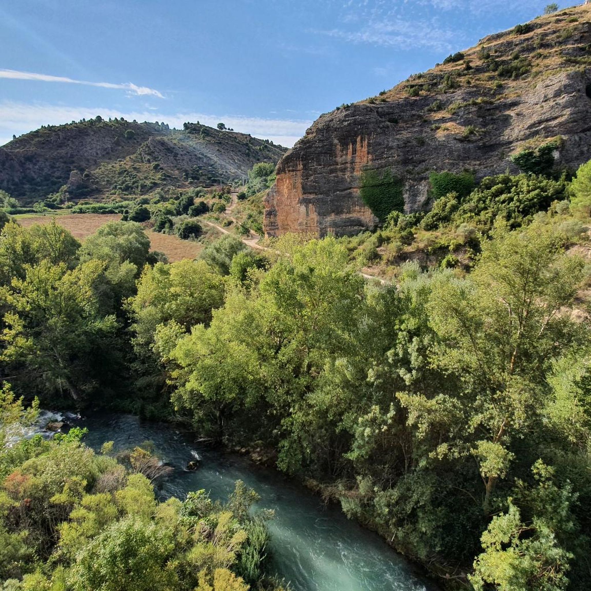
Mountain biking around Paracuellos de Jarama offers varied landscapes with a gentle relief and an average altitude of 700 meters above sea level. The subsoil, composed of sands from the Sierra de Guadarrama mountains, contributes to a unique terrain. Areas like Los Berrocales feature "crestas y barrancos" (ridges and ravines), providing diverse mountain bike trails. The region also includes routes around Cerro del Castillo and Cerro de las Lámparas.
Best mountain bike trails around Paracuellos
- The most popular mountain bike…
Last updated: June 28, 2026
5
riders
32.9km
03:08
580m
580m
Explore the moderate 20.5-mile Sendero de los Cuatro Ríos mountain bike trail, featuring Las Chorreras and river views.
60.0km
05:53
1,200m
1,200m
Hard mountain bike ride. Very good fitness required. Advanced riding skills necessary.

Sign up for free
48.5km
04:02
610m
610m
A moderate 30.1-mile mountain biking loop from Campillo de Altobuey, featuring Paracuellos Castle and the Guadazaón River.
6
riders
67.1km
06:09
1,110m
1,110m
Hard mountain bike ride. Very good fitness required. Suitable for all skill levels.
4
riders
34.1km
02:56
490m
500m
Moderate mountain bike ride. Good fitness required. Suitable for all skill levels.
Our route recommendations are based on thousands of hikes, rides, and runs completed by other people on komoot.
Start today with a free account
Your next adventure awaits.
Login or Signup
Other adventures around Paracuellos

Tips from the Community

Panizar de Arriba is a natural area located in the municipality of Mira, within the Serranía Baja region of Cuenca. It is especially popular among hikers and cyclists for its views and for being part of well-frequented mountain routes.
1
0
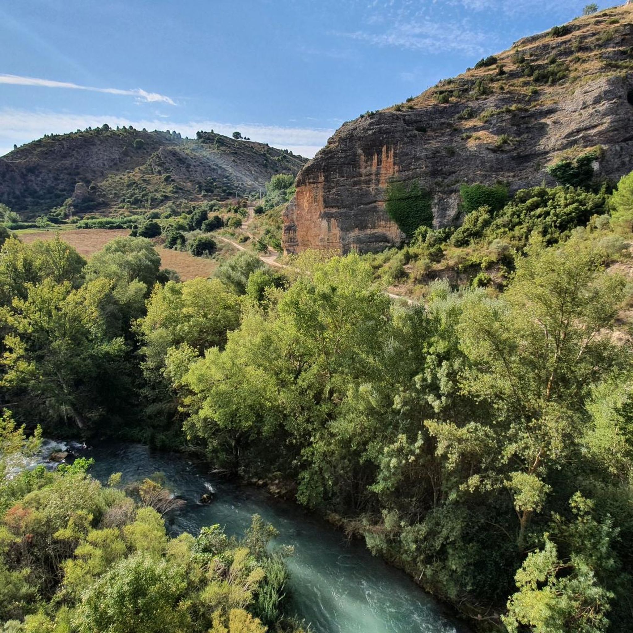
The Hoces de Mira Botanical Walk is one of the most special natural areas in the Serranía Baja region of Cuenca. It's a short, accessible route, perfect for enjoying the flora, fauna, and spectacular views of the canyon carved by the Mira River.
1
0

In SUMMER .... Take a bath!!!!!!!! In WINTER .... ?¿?¿
0
1
Walking along paths and roads. The land is also cool!
0
1
The Chorreras del río Cabriel in Enguídanos, in the province of Cuenca, are an impressive natural site known for its waterfalls, gorges, rapids and turquoise-blue pools.
2
0
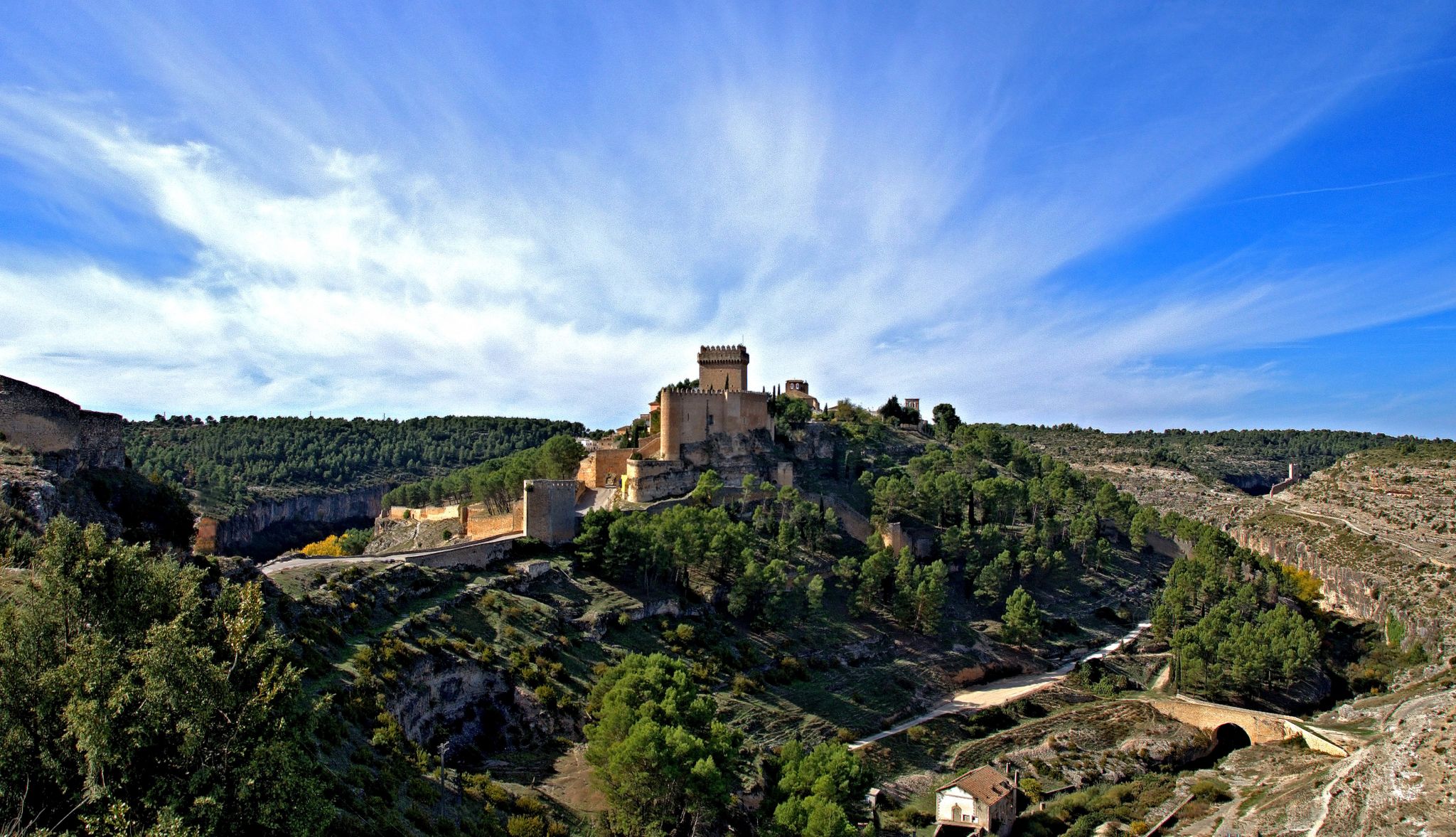
Paracuellos Castle is located in Paracuellos de la Vega, in the province of Cuenca, Castilla-La Mancha, Spain. This fortification, dating back to the 12th century, was part of the defensive chain established after the conquest of Cuenca by Alfonso VIII. Declared a Site of Cultural Interest in 1992, the castle has been restored to preserve its historical importance.
5
0

Great site! To see without hesitation if you are in the region and even make a detour because the site is exceptional. It is possible to leave your car quite close to the site and take good shoes!
0
1
Frequently Asked Questions
What kind of mountain biking terrain can I expect in Paracuellos de Jarama?
Paracuellos de Jarama offers varied landscapes with a gentle relief and an average altitude of 700 meters. The subsoil, composed of sands from the Sierra de Guadarrama mountains, creates a unique terrain. Areas like Los Berrocales are known for their 'crestas y barrancos' (ridges and ravines), providing exciting enduro MTB trails. You'll find a mix of sandy paths and diverse natural features.
Are there mountain bike trails suitable for beginners in Paracuellos de Jarama?
While the region offers a range of difficulties, the routes highlighted in this guide are primarily moderate to difficult. For those new to the sport, the local 'Club MTB Paracuellos' organizes monthly rides typically ranging from 30-40km with a medium technical level, which can be a great way to get started and explore the area.
What are the typical distances and durations for mountain bike trails in Paracuellos de Jarama?
Trail distances vary significantly. For example, a moderate route like Cuenca MTB Trail CU-02 is about 32.9 km and takes around 3 hours 8 minutes. Longer, more difficult routes, such as Four Rivers Trail – Enguídanos loop from Enguídanos, can be up to 67.1 km and take over 6 hours to complete.
Are there any circular mountain bike routes in the area?
Yes, several routes are circular. A popular option is the Circular Route to the Castillo de Paracu, which is about 48.5 km long and offers views of the castle. Another challenging circular route is Enguídanos - Mira – circular por los Cuatro Ríos y la hoz del Mira, covering 60.0 km with significant elevation changes.
What landmarks or points of interest can I see along the mountain bike trails?
The trails often pass by historical and natural attractions. You can explore various castles, such as Paracuellos Castle or Cardenete Castle. Natural features include the stunning Las Chorreras waterfall and the scenic Puertecillo de Yemeda mountain pass.
What is the best time of year to go mountain biking in Paracuellos de Jarama?
While specific seasonal advice isn't provided, the region's gentle relief and average altitude suggest that spring and autumn would offer the most comfortable temperatures for mountain biking. Summers can be hot, and winters might bring cooler conditions, but the sandy terrain generally drains well.
Are there any specific areas known for advanced or enduro mountain biking?
Yes, Los Berrocales is particularly noted for its 'crestas y barrancos' (ridges and ravines), which are ideal for enduro mountain biking. There's even a 'Bike Park Berrocales' for practicing specific skills, making it a great spot for more experienced riders seeking technical challenges.
What is the elevation gain like on mountain bike trails in Paracuellos de Jarama?
Elevation gains vary by route. Moderate trails like Cardenete Castle – Cerro de Enmedio loop from Cardenete have around 494 meters of ascent. More difficult routes, such as Four Rivers Trail – Enguídanos loop from Enguídanos, can feature over 1100 meters of elevation gain, providing a significant challenge.
How many mountain bike routes are available in the Paracuellos de Jarama area?
The broader Paracuellos de Jarama area boasts over 200 cycling routes, encompassing options for mountain biking, road cycling, gravel, and trekking. This guide highlights 5 specific mountain bike trails, ranging from moderate to difficult.
What do other mountain bikers say about the trails in Paracuellos de Jarama?
The komoot community frequently praises the varied terrain and diverse landscapes of Paracuellos. Many appreciate the options for different ability levels and the unique features like the 'crestas y barrancos' in Los Berrocales. Over 10 mountain bikers have used komoot to explore and enjoy the region's trails.
Is the area protected, and does this affect mountain biking?
Paracuellos de Jarama falls within a peripheral protection zone of the Cuenca Alta del Manzanares Regional Park. This designation helps preserve the natural environment by restricting activities like hunting and the circulation of motor vehicles, ensuring a more pristine and enjoyable experience for outdoor enthusiasts, including mountain bikers.
Are there any routes that offer unique views, such as aircraft?
Some routes, like the 'Madrid Airport Loop' and 'View of Airplanes Overhead – View of Cobeña loop' mentioned in regional research, are known to offer unique perspectives, potentially including views of aircraft due to the proximity to the airport. These routes provide an interesting contrast to the natural landscapes.
Most popular routes around Paracuellos
Most popular attractions around Paracuellos

Get inspired with the komoot mobile app


Explore more
Browse the best MTB trails in other regions.
