The best mountain hikes around Landschaftspark Binntal
4.8
(54)
455
hikers
37
hikes
Mountaineering routes Landschaftspark Binntal traverse a diverse and challenging terrain within the Valais region of Switzerland. The park is situated in the Ticino Alps, characterized by rugged mountain landscapes, numerous peaks, and high passes. Routes often lead through coniferous forests and past serene lakes, offering varied experiences for mountaineers.
Best mountaineering routes around Landschaftspark Binntal
- The most popular mountaineering route is Aspi-Titter Suspension Bridge – Egga Hamlet loop from Bellwald, a 5.0 miles (8.1 km) trail that takes 3…
Last updated: July 4, 2026
4.8
(4)
11
hikers
Hard mountaineering route. Good fitness required. Sure-footedness, sturdy shoes and alpine experience required.
5.0
(10)
43
hikers
19.4km
07:22
920m
920m
Hard mountaineering route. Very good fitness required. Sure-footedness, sturdy shoes and alpine experience required.

Sign up for free
4.5
(2)
7
hikers
13.6km
06:21
1,000m
1,000m
Hard mountaineering route. Very good fitness required. Sure-footedness, sturdy shoes and alpine experience required.
9
hikers
8.60km
03:51
630m
630m
Hard mountaineering route. Good fitness required. Sure-footedness, sturdy shoes and alpine experience required.
5.0
(1)
7
hikers
11.8km
05:04
790m
790m
Hard mountaineering route. Very good fitness required. Sure-footedness, sturdy shoes and alpine experience required.
Get access to more routes and recommendations from other explorers.
Sign up for free
Already have an account?
Our route recommendations are based on thousands of hikes, rides, and runs completed by other people on komoot.
Start today with a free account
Your next adventure awaits.
Login or Signup
Popular around Landschaftspark Binntal

Alpine Passes Trail – hiking 700km across Switzerland

Alpine Passes Trail in Switzerland – 34 stages of pure mountain fun
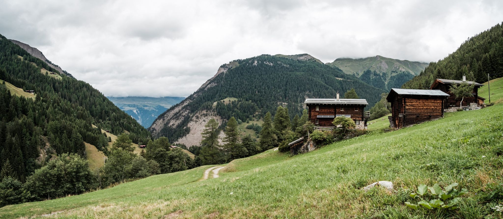
On mule tracks from Binntal to Italy
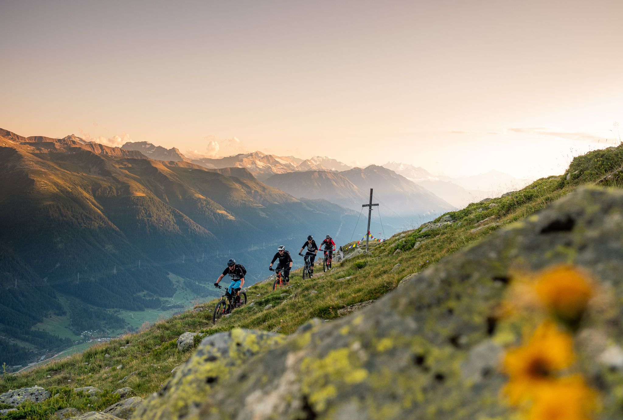
Obergoms Tourismus AG I Sponsored Collections 2026
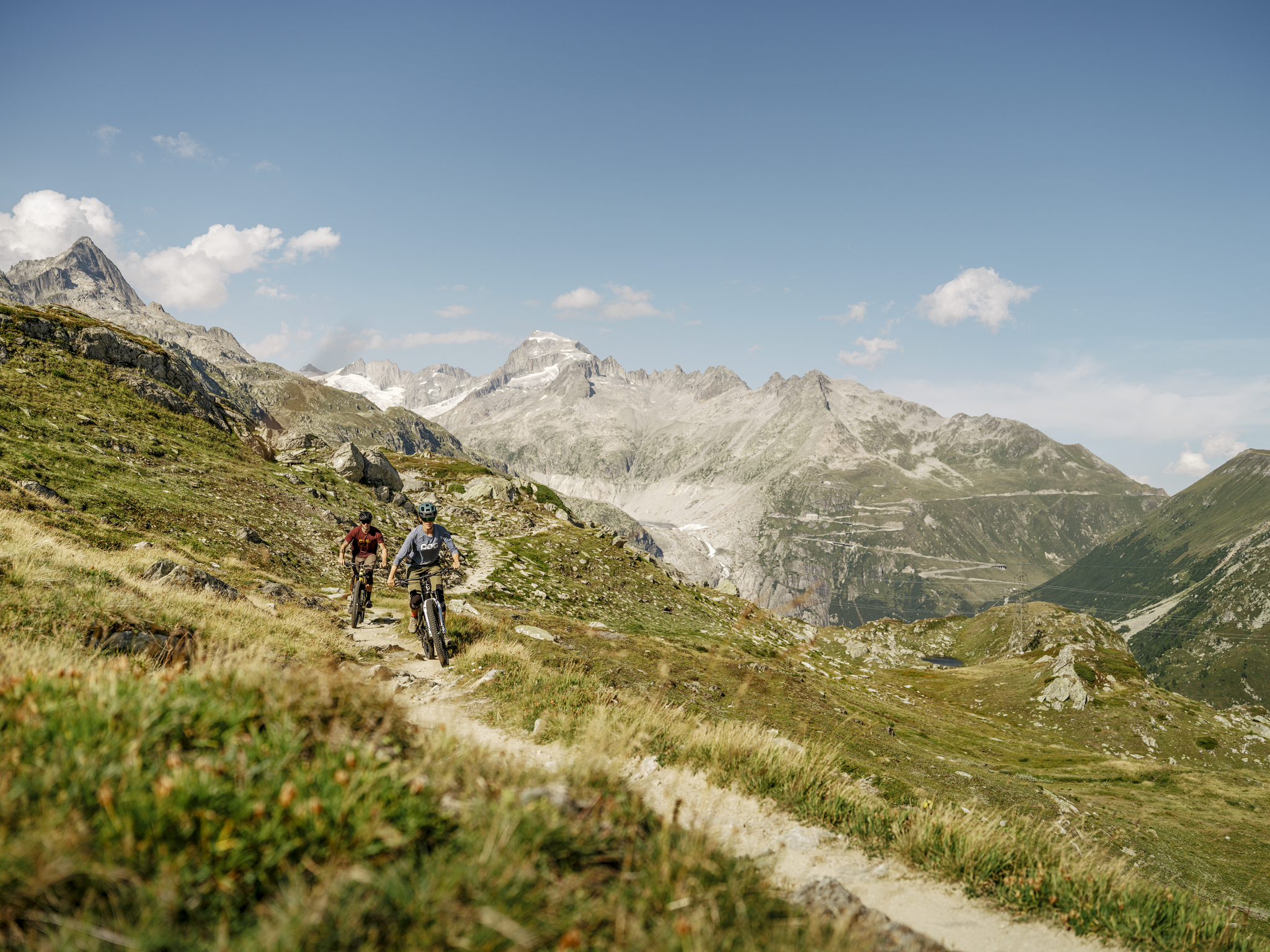
MTB adventures in the Upper Valais – Valais Panorama Bike Switzerland
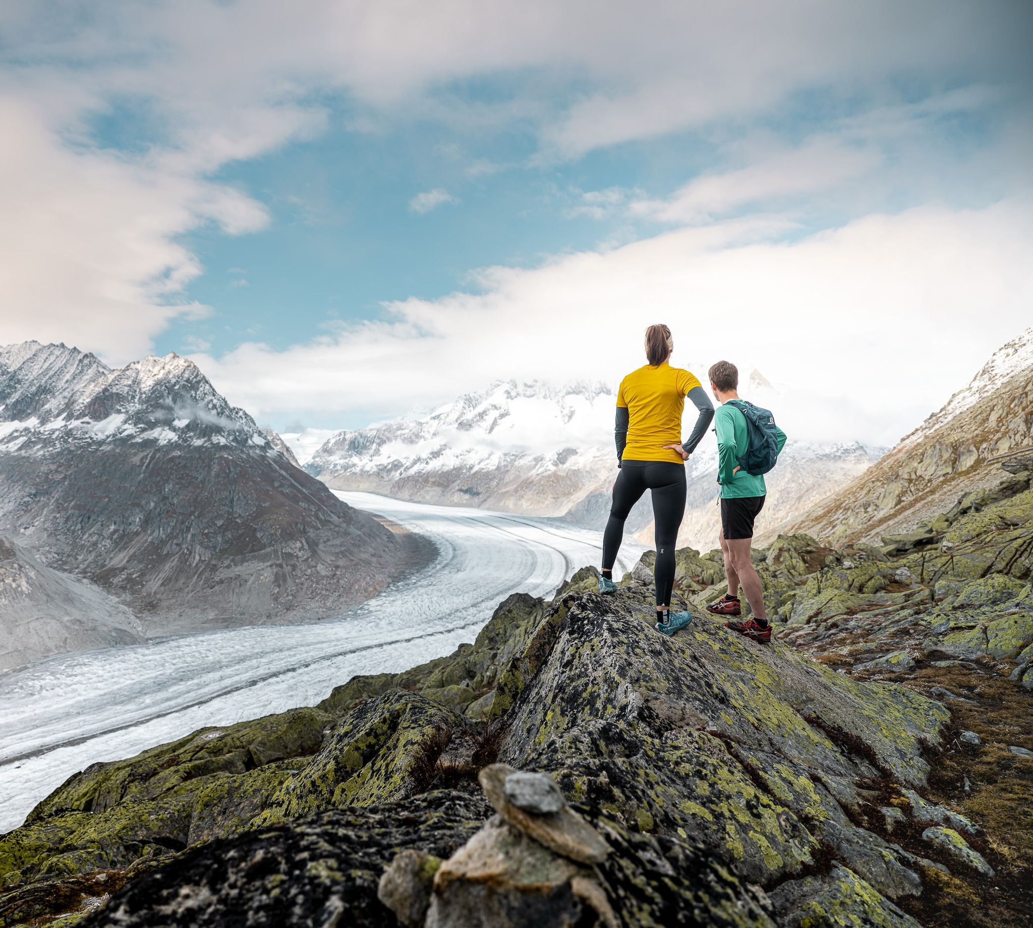
Thrills and adventure on the Stoneman Glaciara
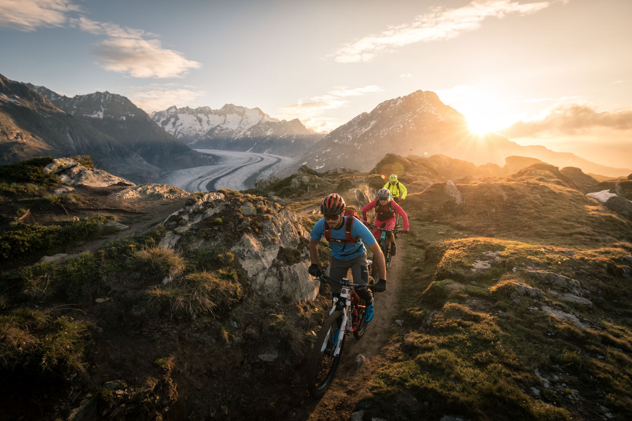
Magic from Ice and Stone – The Stoneman Glaciara
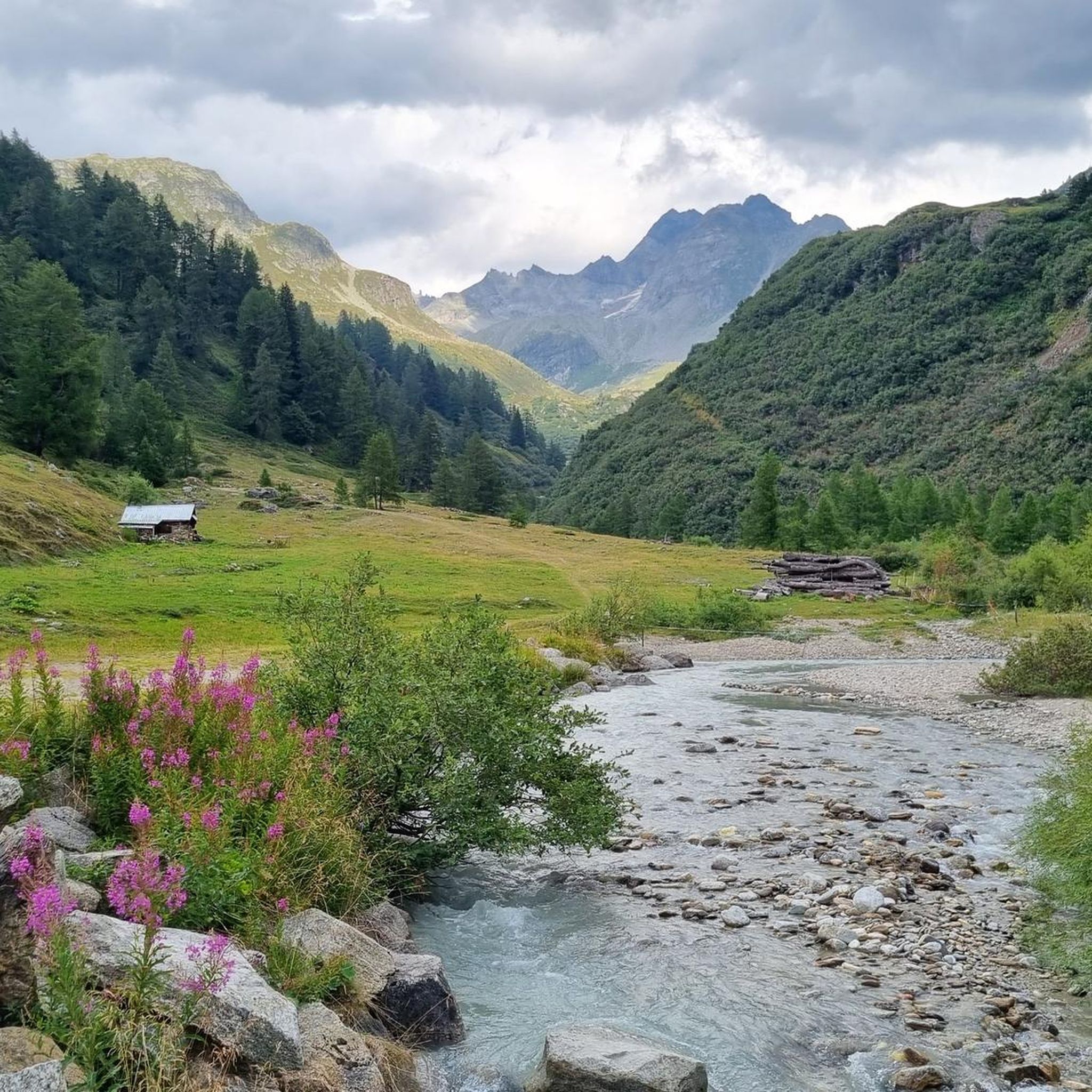
Hiking around Landschaftspark Binntal
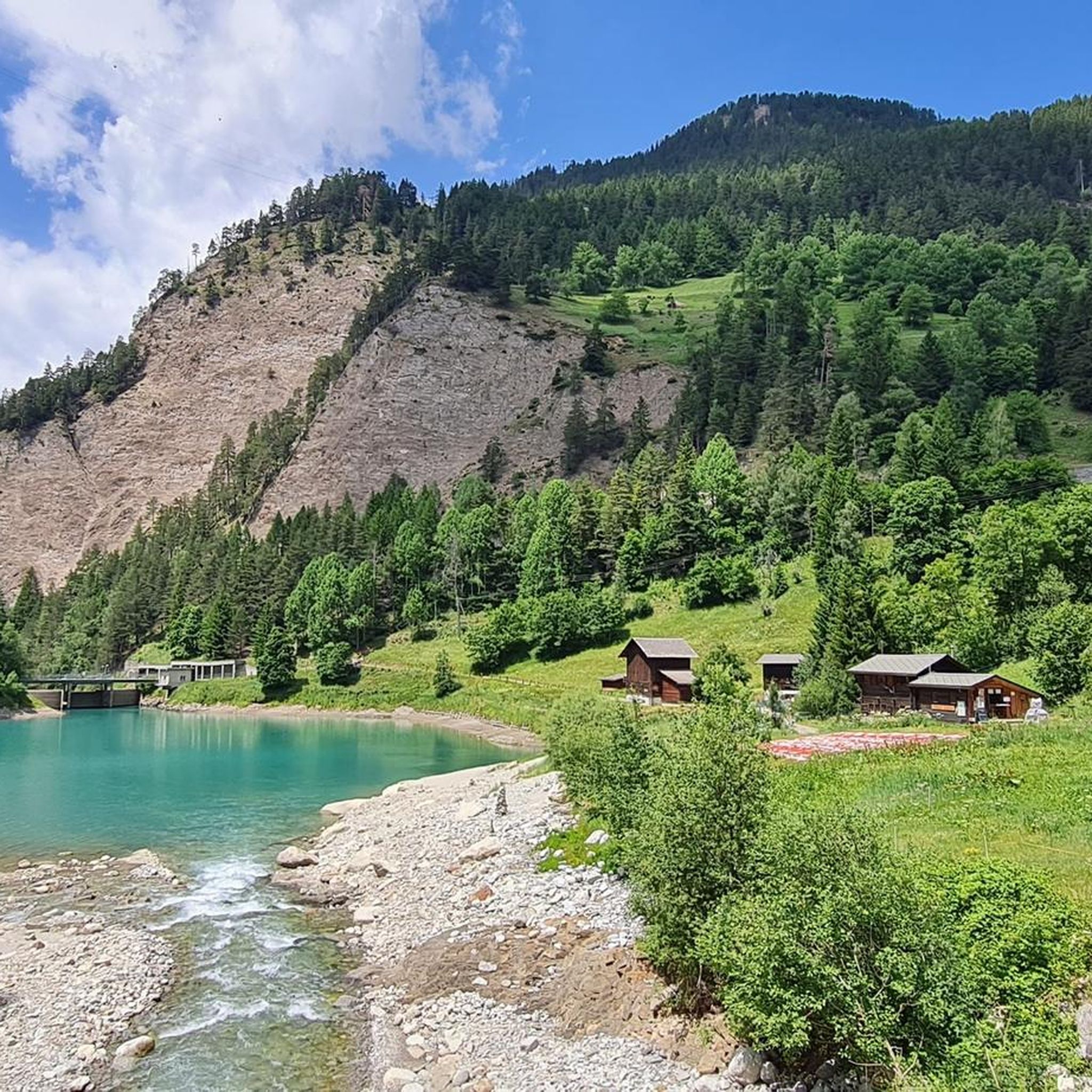
MTB Trails around Landschaftspark Binntal
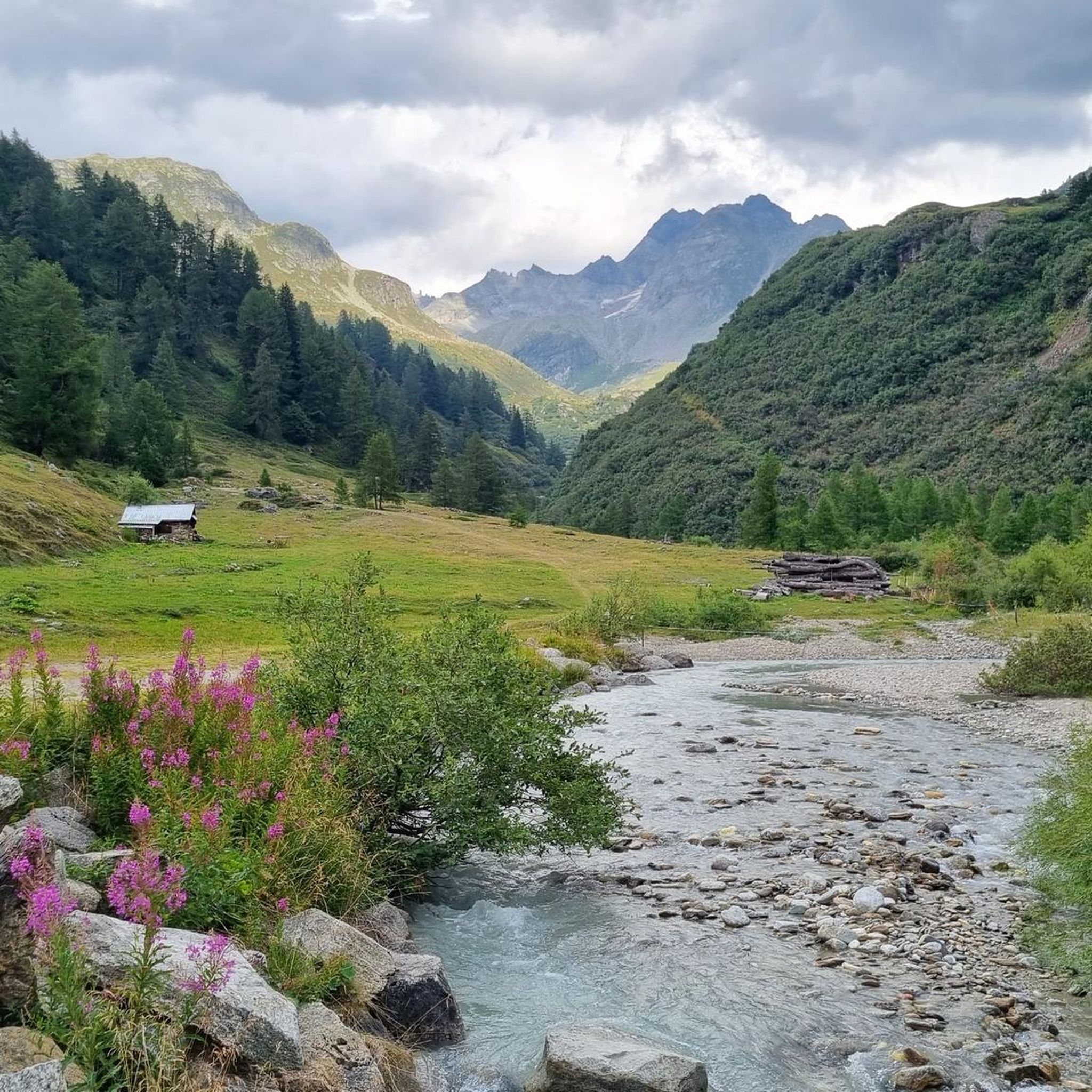
Cycling around Landschaftspark Binntal
Other adventures around Landschaftspark Binntal


Tips from the Community


The drive up alone is worth it: at the mountain station, an impressive view of the Aletsch Glacier awaits you. Take some time before you start for the free interactive exhibition "Gletscherwelt Bettmerhorn" – an exciting introduction to the landscape that awaits you outside.
1
0


Wonderful view of the Alpine ridge with its three and four thousand meter peaks
3
0

The road north around Fiescherhörli is currently closed, so you have to take the more difficult route over Hörli. Surefootedness and a head for heights are essential.
0
1
Great view of Aletschhorn and the glacier
1
0

Great summit, alpine hike not to be underestimated!
1
0

Great location for rest and overnight stays
0
0
Frequently Asked Questions
How many mountaineering routes are available in Landschaftspark Binntal?
Landschaftspark Binntal offers over 40 mountaineering routes, catering to various skill levels. You'll find a mix of moderate and difficult trails, all set within the stunning Ticino Alps.
Are there any moderate mountaineering routes suitable for those with less experience?
Yes, about a quarter of the routes in Landschaftspark Binntal are classified as moderate. For example, the Blausee (Riederalp) – Bettmersee loop from Östlich Raron is a moderate 7.9 km trail that takes around 2 hours 42 minutes to complete, offering beautiful lake views.
What kind of natural features and landmarks can I expect to see along the mountaineering routes?
The routes often lead through beautiful coniferous forests and past serene lakes. You might encounter significant natural features like the Mässersee or the Halsensee. The park also features cultural landmarks such as the historic Old Bridge in Binn, dating back to 1564.
Are there any circular mountaineering routes in Landschaftspark Binntal?
Yes, many routes are designed as loops, allowing you to start and end in the same location. An example is the challenging Bettmergrat Ridge Trail – Bettmerhorn Summit Cross loop from Östlich Raron, which covers 13.6 km and offers expansive ridge views.
What is the best time of year for mountaineering in Landschaftspark Binntal?
The summer months are ideal for mountaineering, with numerous hiking and biking trails available. However, the park also transforms into a haven for winter hiking and snowshoeing, offering different experiences depending on the season and conditions.
Are there any technical or very demanding mountaineering routes?
Yes, Landschaftspark Binntal offers several demanding routes. Some trails, classified as T4+, can include steep rock and snow slopes, potentially requiring an ice axe and crampons, especially in wet and cold conditions. These routes often lead to high passes like the Saflisch Pass.
What do other mountaineers enjoy most about the routes in Landschaftspark Binntal?
The area is highly rated by the komoot community, with an average score of 4.8 stars from over 50 reviews. Mountaineers often praise the diverse and challenging terrain, the stunning views of Valais' mountains and glaciers, and the rich natural beauty found along the trails.
Can I find routes that include lakes or reservoirs?
Absolutely. Many mountaineering routes in the park feature beautiful lakes. For instance, the difficult Märjelensee – Tälligrat Tunnel loop from Östlich Raron takes you past the scenic Märjelensee. You can also find highlights like the Binna Reservoir.
Are there any routes that offer views of suspension bridges?
Yes, you can experience routes that include impressive engineering marvels. The Aspi-Titter Suspension Bridge – Egga Hamlet loop from Bellwald is a difficult 8.1 km trail that provides excellent views of the Aspi-Titter suspension bridge.
Are there options for multi-day mountaineering trips or hut stays in the region?
While specific hut-to-hut routes are not detailed here, the extensive network of trails and the presence of numerous peaks and passes suggest opportunities for multi-day adventures. The region is known for its wild and quiet surroundings at higher elevations, making it suitable for extended exploration.
What are the typical elevation gains on mountaineering routes in Landschaftspark Binntal?
Elevation gains vary significantly depending on the route's difficulty and length. Difficult routes can involve substantial ascents, such as the Blausee (Riederalp) – Bettmerhorn Summit Cross loop from Östlich Raron, which features over 800 meters of elevation gain over 12 km.
Are there any specific peaks that can be summited via mountaineering routes?
The park is home to numerous peaks, offering varied experiences for climbers. The Breithorn Summit is one such peak that rewards ascenders with magnificent views of Valais' mountains and glaciers.
Most popular routes around Landschaftspark Binntal
Most popular attractions around Landschaftspark Binntal

Get inspired with the komoot mobile app


Explore more
Browse the best Mountain Hikes & Routes in other regions.
