The best road cycling routes around Loriguilla
4.4
(92)
8,752
riders
148
rides
Road cycling routes around Loriguilla are characterized by varied terrain, from relatively flat sections along riverbeds to challenging climbs in the mountainous areas. The region features the Loriguilla Reservoir and the Turia River canyon, offering scenic backdrops for rides. Road cyclists can expect a mix of well-paved surfaces and significant elevation gains, particularly in routes extending towards nearby Chulilla. This area provides diverse training rides and scenic routes for different fitness levels.
Best road cycling routes around Loriguilla
- The most…
Last updated: July 8, 2026
61
riders
124km
06:36
2,040m
2,040m
Hard road ride. Very good fitness required. Some segments of this route may be unpaved and difficult to ride.
5.0
(1)
50
riders
39.4km
01:45
290m
290m
Moderate road ride. Great for any fitness level. Some segments of this route may be unpaved and difficult to ride.

Sign up for free
26
riders
53.2km
02:55
1,080m
1,080m
Hard road ride. Very good fitness required. Mostly well-paved surfaces and easy to ride.
5.0
(1)
27
riders
46.7km
02:08
350m
350m
Moderate road ride. Good fitness required. Some segments of this route may be unpaved and difficult to ride.
24
riders
77.9km
04:11
1,440m
1,440m
Hard road ride. Very good fitness required. Mostly well-paved surfaces and easy to ride.
Get access to more routes and recommendations from other explorers.
Sign up for free
Already have an account?
Our route recommendations are based on thousands of hikes, rides, and runs completed by other people on komoot.
Start today with a free account
Your next adventure awaits.
Login or Signup

Tips from the Community

Traditional stone-built fountain, located at the entrance to this town in the Canal de Navarrés. It is a point of natural and heritage interest, frequented on hiking and water routes in the area, such as those near the Júcar canyon. It is located near the area of the Molino de los Moros and the Chorrador del Bosque («El Monstruo»). It is part of the municipality's water resources, often visited along with other points such as the Fuente de las Donas or the washhouses.
0
0
The pass begins when crossing the bridge over the Jucar river and ends when entering the town of Millares. It is 4.2 km at 4.3%
0
0

Update after La Dana, the fountain is almost destroyed, but the water is still flowing, now at ground level (I put a photo).
1
1
A small additional, useful detail: this fountain has water all year round, even at the end of summer.
2
1

Beautiful fountain at the entrance to the village
6
1
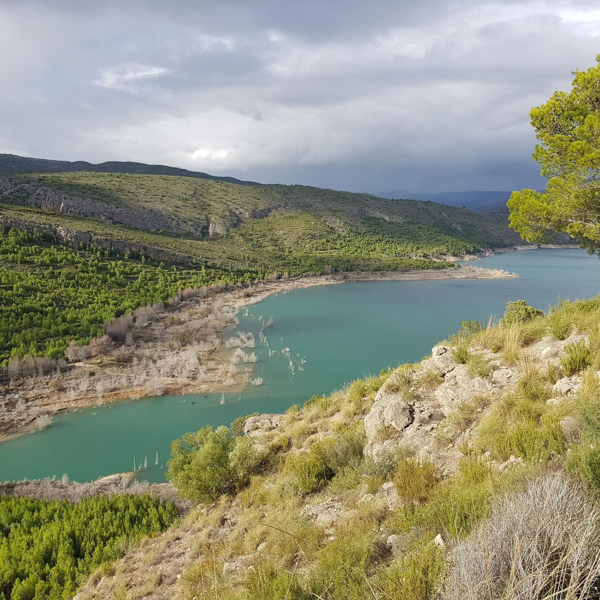
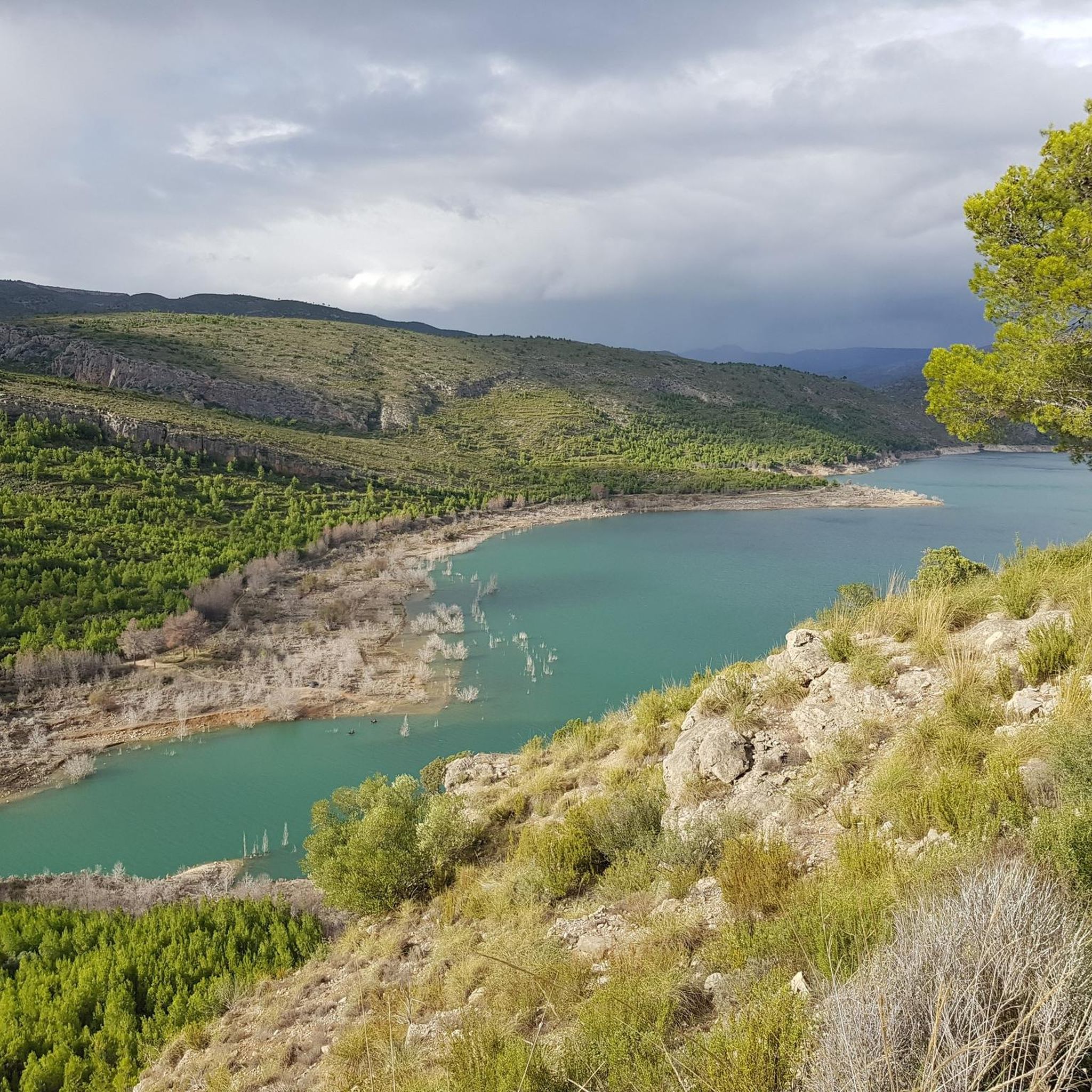
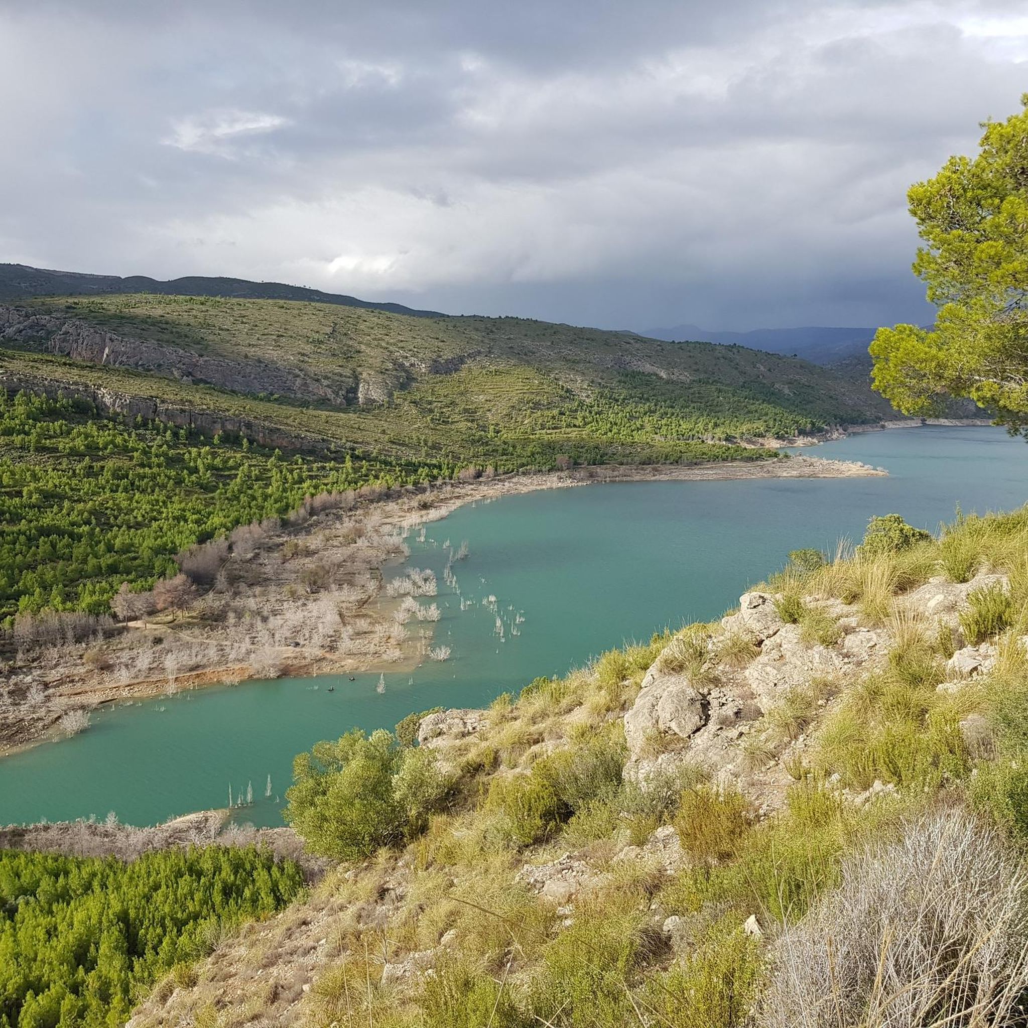
Tremendous views of the area. It's worth climbing
1
0
The Fuente Real port (adding the section of the Balcòn de Montroy port) is 10km at 4.4%, with a couple of kms in each section above 5% (reaching 7% in some areas) and the rest calmer.
1
0
5.63 km (from the Toris to Llombai highway) at 4.5% average) works well as an aperitif (and initial part) of Puerto de Fuente Real.
1
0
Frequently Asked Questions
How many road cycling routes are available around Loriguilla?
There are over 150 road cycling routes available around Loriguilla, catering to various skill levels. This includes 17 easy routes, 81 moderate routes, and 54 difficult routes, ensuring options for every cyclist.
What kind of terrain can I expect on road cycling routes near Loriguilla?
The terrain around Loriguilla is quite varied, offering a mix of relatively flat sections along riverbeds and challenging climbs in mountainous areas. You'll encounter scenic backdrops like the Loriguilla Reservoir and the dramatic Turia River canyon, with routes featuring both well-paved surfaces and significant elevation gains, especially towards areas like Chulilla.
Are there routes suitable for beginners or families?
Yes, Loriguilla offers 17 easy road cycling routes that are suitable for beginners or families looking for a more relaxed ride. These routes typically feature less elevation gain and shorter distances, providing a pleasant experience through the region's landscapes.
What is the best time of year for road cycling in Loriguilla?
The Valencia region, including Loriguilla, is known for its pleasant year-round climate, making it suitable for cycling in most seasons. Spring and autumn generally offer the most comfortable temperatures for road cycling, avoiding the peak heat of summer while still enjoying good weather.
How challenging are the road cycling routes in Loriguilla?
The routes vary significantly in difficulty. While there are 17 easy routes, the majority are moderate (81 routes) or difficult (54 routes). Challenging options like the Fuente Real Pass – View of Dos Aguas loop from Loriguilla - Reva feature substantial climbing with over 2,000 meters of elevation gain, traversing diverse landscapes.
Are there any circular road cycling routes in the area?
Yes, many of the road cycling routes around Loriguilla are designed as loops, allowing you to start and end in the same location. An example is the Riba-roja de Túria Castle loop from Loriguilla - Reva, a moderate 39.4 km trail with a steady elevation gain.
What natural features or landmarks can I see while road cycling around Loriguilla?
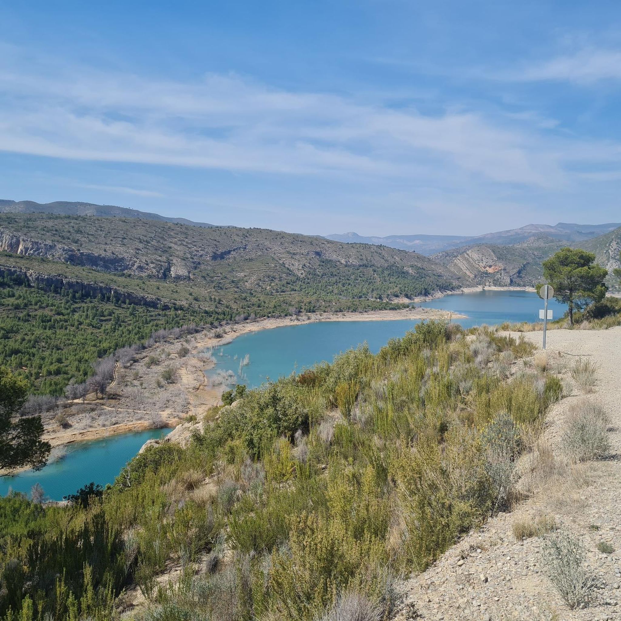
Road cyclists can enjoy stunning natural features such as the Loriguilla Reservoir and the dramatic Turia River canyon. You might also encounter viewpoints like the View of the Loriguilla Reservoir from the El Fandarín viewpoint, or pass by other lakes like Vallesa Reservoir. The region's Mediterranean forests and various peaks also add to the scenic beauty.
Are there any historical sites accessible by road bike?
While cycling, you can explore the historical context of the region. The abandoned old town of Loriguilla, now a rural tourism hub, offers a glimpse into the past. Further afield, the Roman Acueducto de la Peña Cortada is a significant historical landmark, showcasing ancient engineering.
Where can I find parking for road cycling routes in Loriguilla?
Parking is generally available in and around the main settlements like Loriguilla and nearby Chulilla, which serve as common starting points for many routes. Specific parking information for individual routes can often be found in the route descriptions on komoot.
Is it possible to access road cycling routes in Loriguilla using public transport?
While direct public transport access to specific trailheads might be limited, Loriguilla is located within the broader Valencia region, which has good transport links. Cyclists often use a combination of car and public transport to reach starting points, especially for routes further into the La Serranía area.
Are there places to stop for refreshments or cafes along the routes?
Yes, many routes pass through or near villages and towns where you can find cafes, restaurants, and shops to refuel. For example, routes extending towards Chulilla or other local towns will offer opportunities for refreshments.
What do other road cyclists enjoy about the routes in Loriguilla?
The road cycling routes in Loriguilla are highly rated by the komoot community, with an average score of 4.5 stars from over 90 reviews. Cyclists often praise the varied terrain, the stunning views of the Loriguilla Reservoir and Turia River canyon, and the diverse options available for different fitness levels, from moderate loops to challenging climbs.
Are there any long-distance road cycling routes with significant climbs?
Absolutely. For experienced cyclists seeking a challenge, routes like the Alcublas Village – San Vicente de Llíria loop from Loriguilla - Reva offer substantial distances (over 130 km) and significant elevation gains (over 1,600 meters), traversing diverse landscapes and providing a demanding ride.
Most popular routes around Loriguilla
Most popular attractions around Loriguilla

Get inspired with the komoot mobile app


Explore more
Browse the best Road cycling routes in other regions.
