The best MTB trails around Galindo Y Perahuy
4.7
(50)
263
riders
38
rides
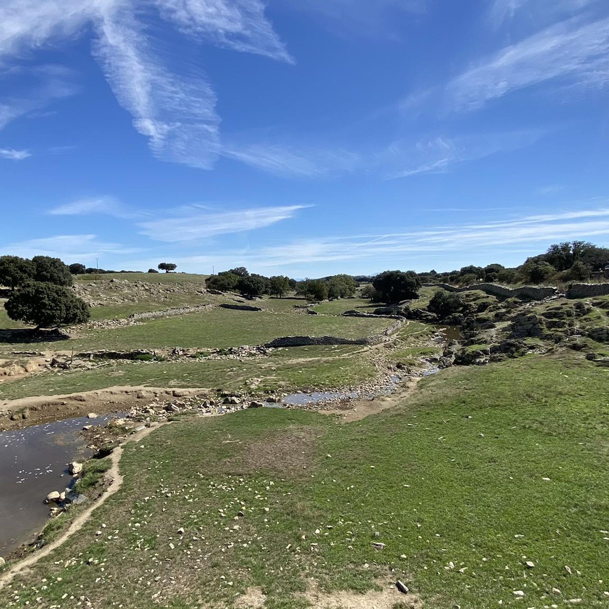
Mountain biking around Galindo y Perahuy offers routes through the distinctive Campo Charro dehesa ecosystem. This landscape features gently rolling terrain, characterized by holm oaks, expansive pastures, and serene ponds. The area provides a blend of open spaces and shaded sections, with small streams adding to the natural environment.
Best mountain bike trails around Galindo Y Perahuy
- The most popular mountain bike trail is Roman Bridge of Salamanca – Plaza Mayor of Salamanca loop from Tejares - Chamberí, a…
Last updated: July 1, 2026
3.8
(4)
24
riders
35.7km
02:47
270m
270m
Moderate mountain bike ride. Good fitness required. Suitable for all skill levels.
21
riders
50.9km
03:41
500m
500m
Moderate mountain bike ride. Good fitness required. Suitable for all skill levels.

Sign up for free
4.5
(2)
15
riders
Moderate mountain bike ride. Good fitness required. Suitable for all skill levels.
5.0
(13)
13
riders
33.8km
02:28
240m
240m
Moderate mountain bike ride. Good fitness required. Suitable for all skill levels.
16
riders
21.3km
01:41
220m
220m
Moderate mountain bike ride. Great for any fitness level. Advanced riding skills necessary.
Get access to more routes and recommendations from other explorers.
Sign up for free
Already have an account?
Our route recommendations are based on thousands of hikes, rides, and runs completed by other people on komoot.
Start today with a free account
Your next adventure awaits.
Login or Signup

Tips from the Community

Enormous square that comes alive in the evening when it is illuminated.
7
0
One of the many historic buildings with 365 shells as a symbol of love for his wife.
5
1

The history of Salamanca's Roman bridge is intertwined with that of the city itself, and it has been one of its defining features for centuries. Located in a position that facilitated human settlement and the development of economic activity, its proximity to the three hills and the Tormes River made it a strategic location. It is a solid bridge, resistant to the passage of time. For centuries it served as the main access point to the city, until a new bridge was completed over the Tormes River in 1913, allowing the passage of vehicles.
10
0
Metal Heron in Ambushed Art This is one of the many sculptures that make up the park's art trail. It depicts a large heron, crafted from metal in an expressionist style. It blends seamlessly into the natural landscape, surrounded by trees and vegetation, reinforcing its connection to the Tormes River environment. It's ideal for photography, artistic observation, and as a point of interest along the route.
6
0
It is located within the grounds of the Arte Emboscado project, situated on the Aldehuela del Tormes estate in Almenara de Tormes (Salamanca). This space is an open-air museum that combines art and nature alongside the Tormes River.
6
0
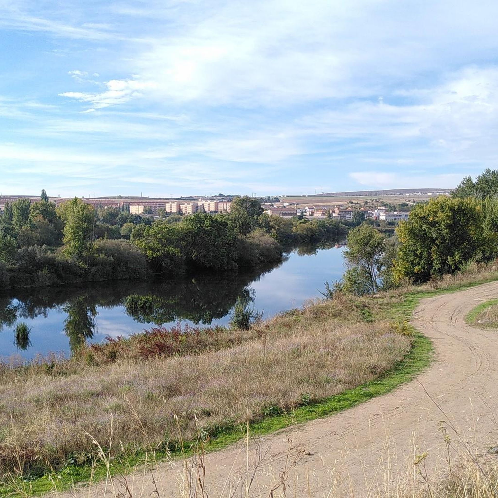
The Cuesta de los Caenes section is part of a very accessible circular route near Cabrerizos, on the outskirts of Salamanca. No shade, ideal for cool days. Suitable for families and children. Beautiful views of Cabrerizos, Salamanca in the distance, and the Tormes Valley. The route passes by the Arroyo de Las Caenes stream, and the Cuesta de los Caenes is one of its most recognizable sections.
2
0
Dirt/gravel path, multi-use (hiking, mountain biking, trail running). Easy to follow, suitable for e-bikes, not a busy route.
2
0

The fact that a place on the Iberian Peninsula is included in the list of the three most famous pilgrimage destinations in the Christian world – along with Jerusalem and Rome – is thanks to one of Jesus' apostles, who is said to have preached here. After his martyrdom, which is briefly reported in the Acts of the Apostles, his body miraculously found its final resting place here: Saint James the Greater. A small local sanctuary was initially built over his grave; later, a city developed that even bears his name (Santiago de Compostela), and the church in his honor became a cathedral, i.e., a bishop's church. According to national legend, Saint James also played a key role in the reconquest of the Iberian Peninsula from the Moors and is the patron saint of Spain.
2
0
Frequently Asked Questions
How many mountain bike trails are available in Galindo y Perahuy?
There are over 45 mountain bike trails around Galindo y Perahuy. These routes cater to various skill levels, with 13 easy, 30 moderate, and 2 difficult trails to explore.
What is the overall difficulty level of mountain biking in Galindo y Perahuy?
Mountain biking in Galindo y Perahuy offers a good mix of challenges. The majority of routes are classified as moderate, with 30 out of 45 trails falling into this category. There are also 13 easy routes for more relaxed rides and 2 difficult trails for experienced riders seeking a greater challenge.
What kind of terrain can I expect on mountain bike trails in Galindo y Perahuy?
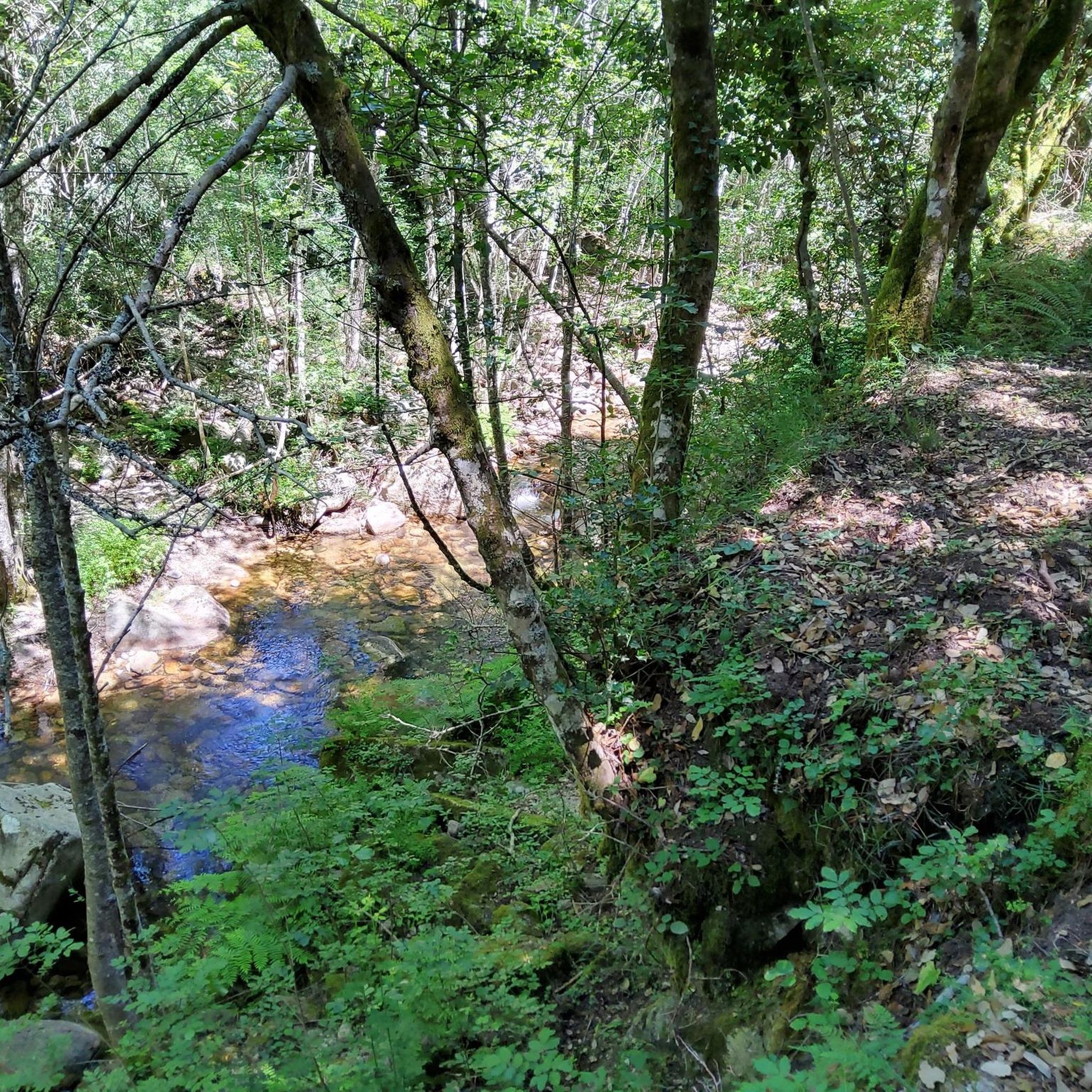
The terrain in Galindo y Perahuy is characterized by the unique Campo Charro dehesa ecosystem. You'll ride through gently rolling landscapes with holm oaks, expansive pastures, serene ponds, and small streams. The routes offer a blend of open spaces and shaded sections, providing a picturesque and varied environment.
Are there any family-friendly mountain bike routes in Galindo y Perahuy?
Yes, Galindo y Perahuy offers several family-friendly options, particularly among its 13 easy-rated trails. These routes often feature predominantly flat terrain and gentle descents, with many sections on safe paths without traffic, making them suitable for families. An example of an easy route is the Banks of the Tormes – Nature loop from Tejares - Chamberí, which covers about 19.9 km.
Can I bring my dog on the mountain bike trails in Galindo y Perahuy?
Many trails in the Galindo y Perahuy area are suitable for dogs, especially those that traverse the open dehesa landscape and less technical paths. However, it's always recommended to keep your dog under control, especially given the presence of livestock like fighting bulls and Iberian pigs in the dehesa. Always check local regulations and respect private property signs.
What natural features or landmarks can I see while mountain biking in Galindo y Perahuy?
While the primary natural feature is the expansive Campo Charro dehesa with its holm oaks, pastures, ponds, and streams, some routes also pass near significant landmarks. For instance, the Roman Bridge of Salamanca – Plaza Mayor of Salamanca loop from Tejares - Chamberí connects to historical sites like the Roman Bridge of Salamanca and the Plaza Mayor of Salamanca. You might also encounter traditional livestock farming within the dehesa.
Are there any circular mountain bike routes available?
Yes, many of the mountain bike routes around Galindo y Perahuy are designed as loops, allowing you to start and finish at the same point. For example, the Banks of the Tormes – Ascent to the Pirulí de Peñasolana loop from Tejares - Chamberí is a moderate 59.9 km circular route that offers varied scenery.
What is the best time of year to go mountain biking in Galindo y Perahuy?
The spring and autumn months are generally ideal for mountain biking in Galindo y Perahuy. During these seasons, the weather is typically milder, and the dehesa landscape is vibrant. Summers can be very hot, making early mornings or late afternoons preferable, while winters can be cooler and potentially wetter.
What do other mountain bikers enjoy most about the trails in Galindo y Perahuy?
The komoot community highly rates the mountain bike trails in Galindo y Perahuy, with an average score of 4.7 stars from over 50 reviews. Riders often praise the unique dehesa landscape, the blend of open spaces and shaded areas under holm oaks, and the well-integrated network of routes that cater to different experience levels. Many appreciate the cultural backdrop of traditional livestock farming.
Are there options for longer mountain bike tours in the area?
Yes, for those looking for longer rides, Galindo y Perahuy offers several extended routes. For instance, the Ascent to the Pirulí de Peñasolana loop from Peñasolana (Multiusos/Farmacia) is a moderate 54.9 km trail that can take over 4 hours to complete, leading through diverse local countryside.
Is public transport available to access mountain bike trails in Galindo y Perahuy?
While specific public transport options directly to trailheads within Galindo y Perahuy might be limited, the region is connected to Salamanca. Some routes, like the one connecting Galindo y Perahuy to Salamanca, are designed to be accessible, combining paths and bike lanes. For detailed schedules, it's best to check local bus services connecting Galindo y Perahuy with larger towns.
Where can I find parking for mountain biking in Galindo y Perahuy?
Parking availability will vary depending on your chosen starting point. Many routes originate from or pass through small villages or rural areas where street parking might be available. For routes connecting to larger towns like Salamanca, dedicated parking facilities might be found closer to urban starting points. Always look for designated parking areas or consult local maps for specific trailhead parking.
Most popular routes around Galindo Y Perahuy
Most popular attractions around Galindo Y Perahuy

Get inspired with the komoot mobile app


Explore more
Browse the best MTB trails in other regions.
