The best walks and hikes around Albuñán
4.6
(277)
1,382
hikers
99
hikes
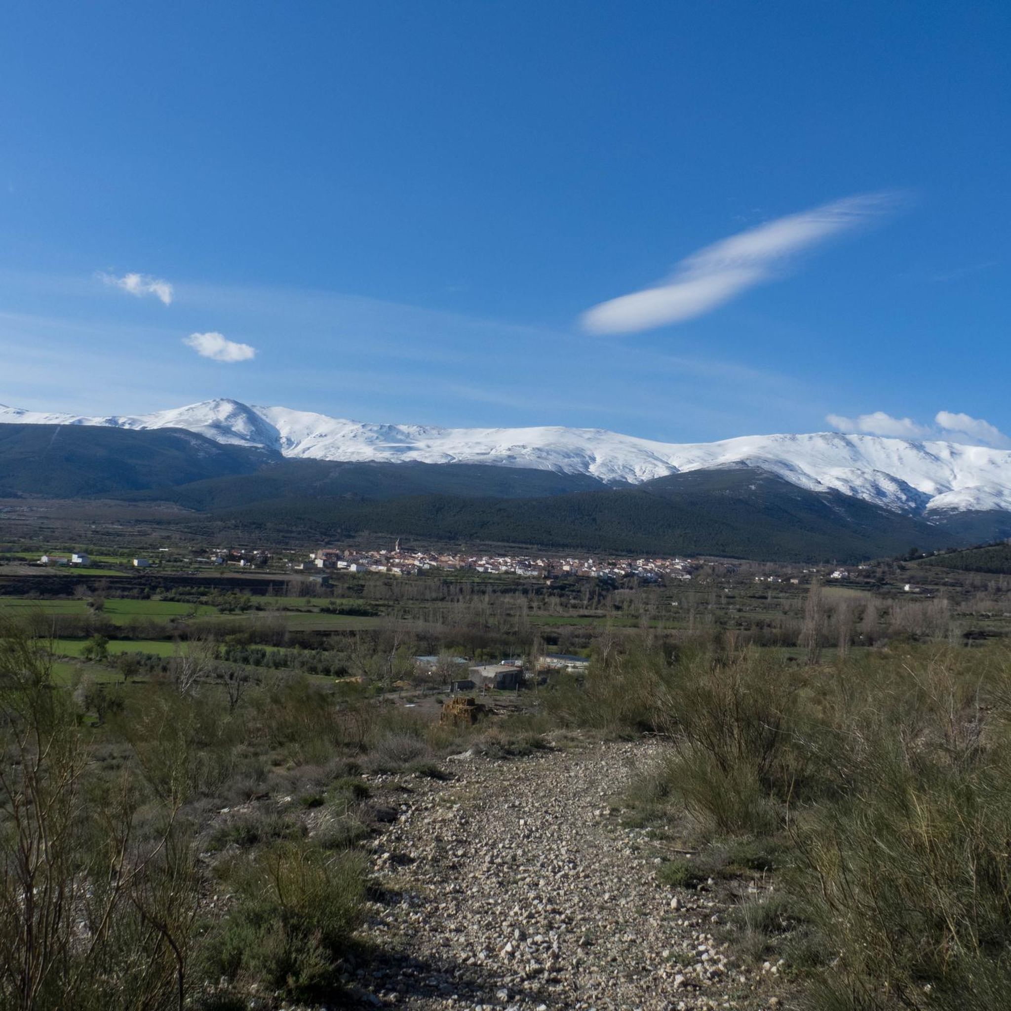
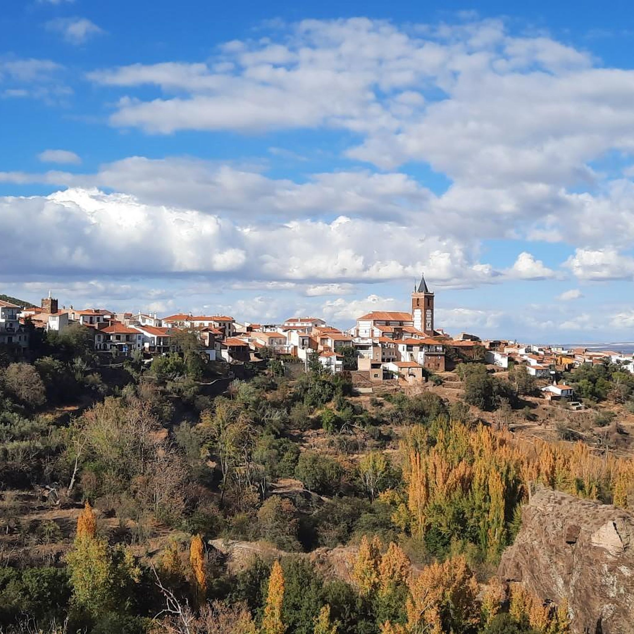
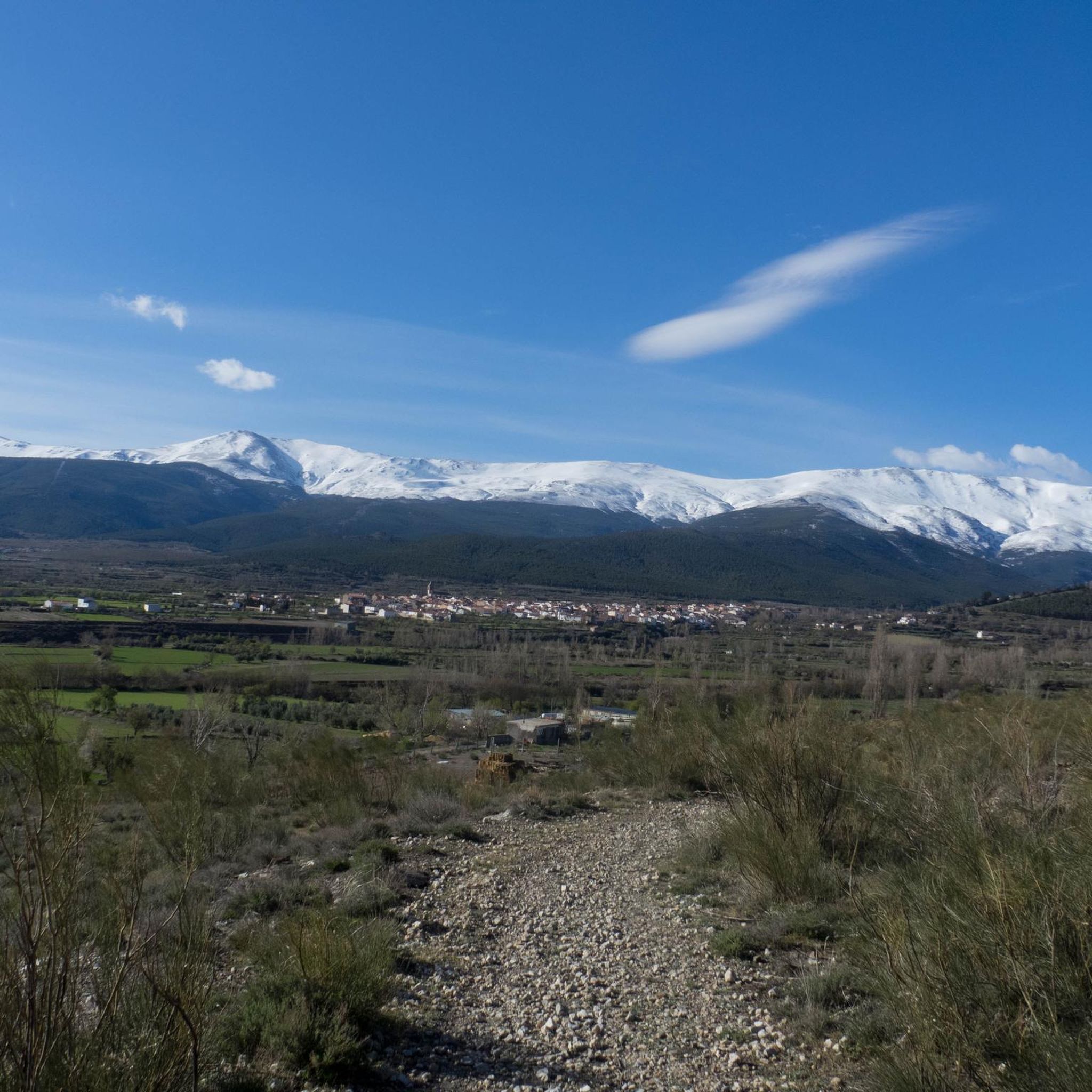
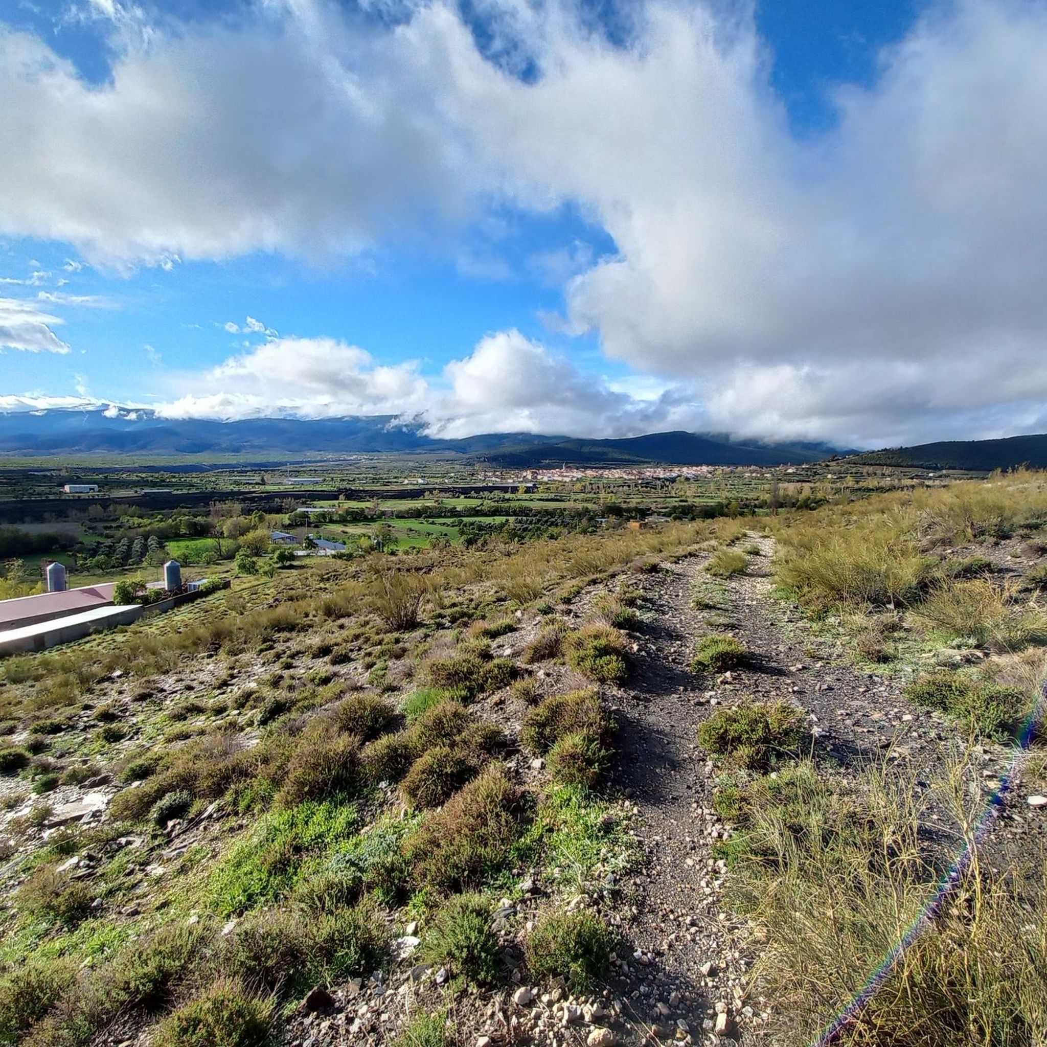
Hiking around Albuñán offers access to the northern edge of the Sierra Nevada Natural Park, characterized by its extensive mountain ranges, rivers, and streams. The landscape features diverse climate zones, from lower elevation meadows to holm oaks and pine groves at higher altitudes. This region, part of the Granada Geopark, provides varied terrain for outdoor activities, including numerous springs and the Santo river.
Best hiking trails around Albuñán
- The most popular hiking route is La Tizná Recreation Area – Alcázar…
Last updated: August 14, 2026
4.8
(8)
39
hikers
13.5km
04:17
330m
330m
Hard hike. Good fitness required. Sure-footedness, sturdy shoes and alpine experience required.
13
hikers
Moderate hike. Good fitness required. Easily-accessible paths. Suitable for all skill levels.

Sign up for free
5.0
(2)
12
hikers
23.5km
09:46
1,200m
1,200m
Hard hike. Very good fitness required. Sure-footedness, sturdy shoes and alpine experience required.
5.0
(3)
9
hikers
13.8km
04:28
320m
320m
Hard hike. Good fitness required. Sure-footedness, sturdy shoes and alpine experience required.
5.0
(1)
10
hikers
15.1km
05:40
600m
600m
Hard hike. Very good fitness required. Sure-footedness, sturdy shoes and alpine experience required.
Get access to more routes and recommendations from other explorers.
Sign up for free
Already have an account?
Our route recommendations are based on thousands of hikes, rides, and runs completed by other people on komoot.
Start today with a free account
Your next adventure awaits.
Login or Signup

Tips from the Community

The Postero Alto refuge is guarded and has 50 places. It offers overnight stays, meals, and hot showers.
0
0

Church of Our Lady of Grace with interesting surrounding areas
1
0

There are many cave dwellings here that are still inhabited.
0
0

The refuge is very well equipped, always staffed and a good starting point for high mountain routes on the north face of the Sierra Nevada, Picón de Jérez.
0
1


It is a veritable paradise of 4,722 square kilometers, designated as a Global Geopark by UNESCO in 2020, is a rugged semi-desert with deep, wide depressions, gorges, canyons, gullies and ridges with rock formations and cliffs.
4
0

There are panels at this viewpoint explaining the formation process of the Marchal Gullies, making it a very impressive viewpoint.
4
0
This viewpoint has become an outstanding place to watch the sunrise and sunset.
5
0
Frequently Asked Questions
How many hiking trails are available around Albuñán?
There are over 60 hiking trails around Albuñán, offering a wide range of experiences from easy strolls to challenging mountain ascents. The komoot community has rated these routes highly, with an average score of 4.7 stars.
What kind of terrain and difficulty can I expect on hikes near Albuñán?
The terrain around Albuñán is incredibly diverse, ranging from lower elevation meadows and river valleys to holm oak and pine groves at higher altitudes within the Sierra Nevada Natural Park. You'll find paths through olive and almond groves, as well as more rugged mountainous routes and unique geological formations like the "badlands" of the Hoya de Guadix. Trails vary from easy walks to difficult ascents, catering to different fitness levels.
Are there any notable natural landmarks or viewpoints to discover on hikes around Albuñán?
Yes, the region offers stunning natural features. You can hike to the End of the World Viewpoint for beautiful mountain-top vistas. The area also provides views of the unique geological formations of the Hoya de Guadix, including the "badlands" near Purullena, which can be seen from the Badlands de Purullena Viewpoint and the Viewpoint of the Cárcavas de Marchal. The Granada Geopark is also a significant natural monument in the vicinity.
What is the best time of year to go hiking in Albuñán?
Albuñán, located at the northern end of the Sierra Nevada Natural Park, offers diverse climate zones. Spring and autumn generally provide the most pleasant temperatures for hiking. While summer can be warm, the presence of rivers and streams, like those found in the La Tizná Recreation Area, can offer refreshing spots. Winter hikes are also possible, though higher altitudes in the Sierra Nevada may experience snow.
Are there any family-friendly hiking routes around Albuñán?
Yes, there are several easy routes suitable for families. An excellent option is the View of Hoya de Guadix – End of the World Viewpoint loop from Paulenca, which is an easy 3.6-mile (5.8 km) trail. This route offers rewarding views without being overly strenuous, making it a great choice for a family outing.
Are dogs allowed on the hiking trails in Albuñán?
While specific regulations can vary, generally, dogs are welcome on many trails in the Sierra Nevada Natural Park region, provided they are kept under control, especially in areas with livestock or wildlife. It's always advisable to check local signage or park guidelines for any specific restrictions on individual routes or protected areas.
Are there any circular hiking routes available near Albuñán?
Yes, many of the trails around Albuñán are designed as circular routes, allowing you to start and end in the same location. Examples include the La Tizná Recreation Area – Alcázar Ravine loop from Jérez del Marquesado and the Paratas de Chorreras Negras – Refugio Postero Alto loop from Jérez del Marquesado, both offering diverse landscapes on a loop.
What can I explore besides hiking trails near Albuñán?
Beyond the hiking trails, the region is rich in unique cultural and natural attractions. You can explore the fascinating cave dwellings of Guadix, visit the Cave Museum – Cuevas de Guadix Interpretation Center, or see the Marchal Cave Houses. The area is also part of the Granada Geopark, offering insights into its unique geological formations.
Are there any long-distance or challenging hikes for experienced hikers?
Absolutely. For experienced hikers seeking a challenge, routes like the Paratas de Chorreras Negras – Refugio Postero Alto loop from Jérez del Marquesado offer a difficult 14.6-mile (23.5 km) path with significant elevation gain, ascending through mountainous terrain to high-altitude refuges. Another demanding option is the Cañada de Mahoma – La Poza Refuge loop from Jérez del Marquesado, a difficult 9.4-mile (15.1 km) trail.
What do other hikers enjoy most about hiking in Albuñán?
The area is highly rated by the komoot community, with an average score of 4.7 stars. Reviewers often praise the diverse and striking natural landscapes, the proximity to the Sierra Nevada Natural Park, and the abundance of water sources. Hikers appreciate the variety of terrain, from river valleys to mountainous routes, and the well-regarded network of trails.
Are there places to eat or stay in Albuñán village?
Albuñán is a village nestled in the Sierra Nevada Natural Park. While specific establishments are not detailed in the guide, as a local village, it typically offers basic amenities such as cafes, restaurants, and rural accommodation options for visitors looking to explore the surrounding hiking trails.
Is public transport available to reach hiking trailheads near Albuñán?
While Albuñán is a rural village, public transport options to and from larger towns in the Granada province may exist. However, for direct access to many trailheads, especially those deeper within the Sierra Nevada Natural Park, a car is often recommended for flexibility. It's advisable to check local bus schedules for connections to nearby towns like Jérez del Marquesado, where some routes begin.
Are there any permits required for hiking in the Sierra Nevada Natural Park near Albuñán?
Generally, permits are not required for day hikes on established trails within the Sierra Nevada Natural Park. However, for certain activities like camping, specific high-altitude ascents, or large group events, permits might be necessary. It's always best to consult the official Sierra Nevada Natural Park website for the most current regulations, especially if planning an extended or off-trail adventure.
Most popular attractions around Albuñán

Get inspired with the komoot mobile app


Explore more
Browse the best Hikes in other regions.
