The best walks and hikes around Escacena Del Campo
4.5
(36)
127
hikers
19
hikes
Hiking around Escacena Del Campo offers diverse landscapes at the intersection of the Andévalo and Campiña regions, characterized by low-lying mountains, rolling hills, and unique ravines. The terrain features ancient slate and quartzite soils in forested areas, contrasting with newer sandy and clay soils historically used for agriculture. Hikers can explore areas with holm oaks, cork oaks, and specific flora preserved in moist barrancos.
Best hiking trails around Escacena Del Campo
- The most popular hiking route is Laguna de las Doblas — circular by Sanlúcar la Mayor, a 2.8 miles (4.6 km) trail that takes 1 hour 10 minutes to complete. This easy circular path offers gentle terrain suitable for a quick outing.
- Another top favourite among local hikers is Corumbel Reservoir Route from Villalba, a moderate 11.9 miles (19.1 km) path. This route provides views of the Corumbel River and reservoir, winding through varied countryside.
- Local hikers also love the Overflow at the Dam loop from Aznalcóllar, a 7.8 miles (12.6 km) trail leading through reservoir landscapes, often completed in about 3 hours 30 minutes.
- Hiking around Escacena Del Campo is defined by diverse landscapes of the Andévalo and Campiña, low-lying mountains, and unique ravines with holm oak and cork oak forests. The network offers options for easy, moderate, and difficult trails, catering to different ability levels.
- The routes in Escacena Del Campo are highly rated by the komoot community with an average score of 4.8 stars from more than 20 reviews. More than 90 hikers have used komoot to explore Escacena Del Campo's varied terrain.
Last updated: August 21, 2026
4.3
(11)
22
hikers
4.57km
01:09
10m
10m
Easy hike. Great for any fitness level. Easily-accessible paths. Suitable for all skill levels.
18.7km
05:15
370m
370m
A difficult 11.6-mile hike from El Madroño, exploring the Rio Tinto's unique red waters and Martian-like mining landscape.

Sign up for free
19.1km
04:57
110m
110m
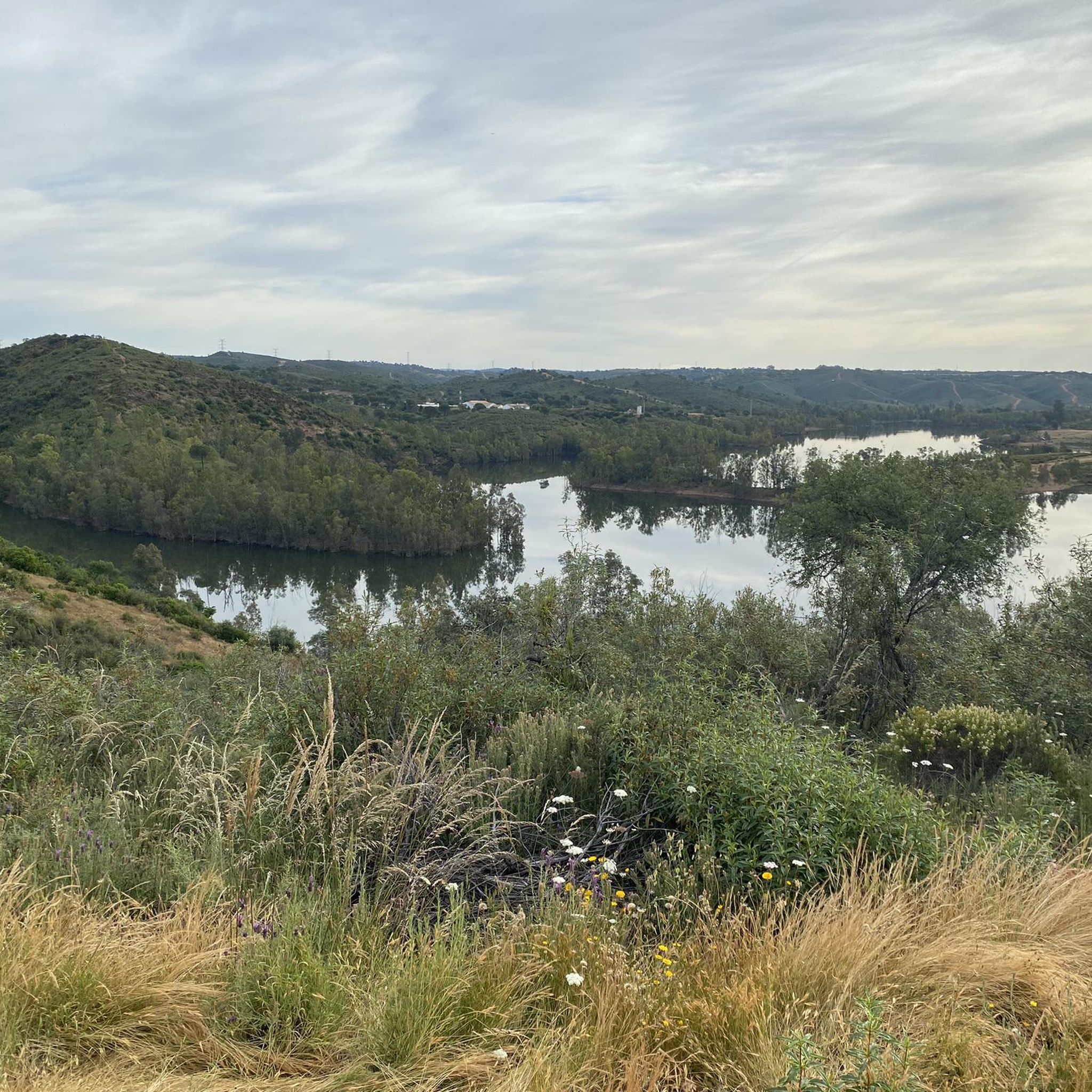
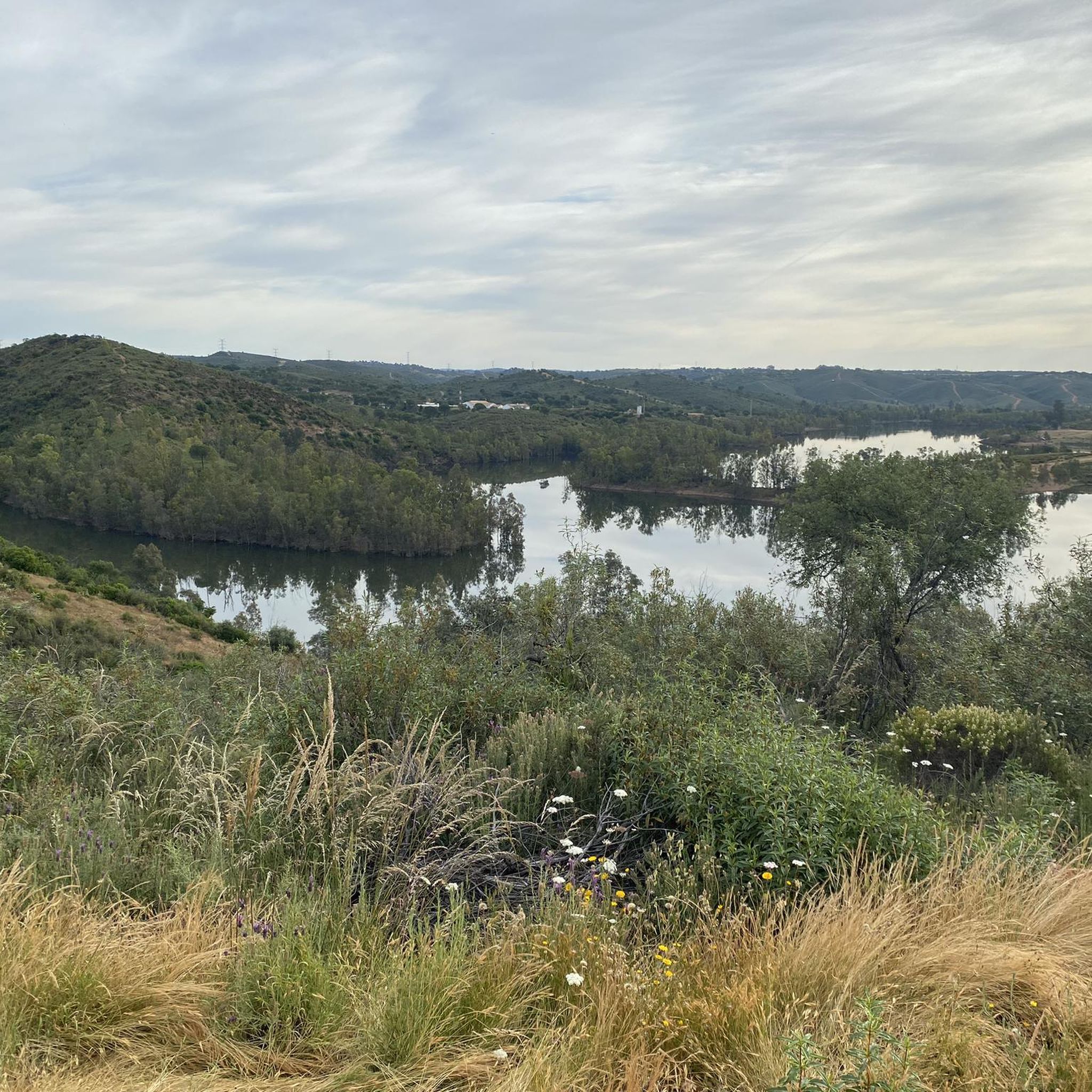
Hiking the moderate 11.9-mile (19.1 km) trail from Villalba del Alcor to Pantano del Corumbel offers diverse scenery and reservoir views.
4.7
(6)
22
hikers
7.99km
02:13
140m
140m
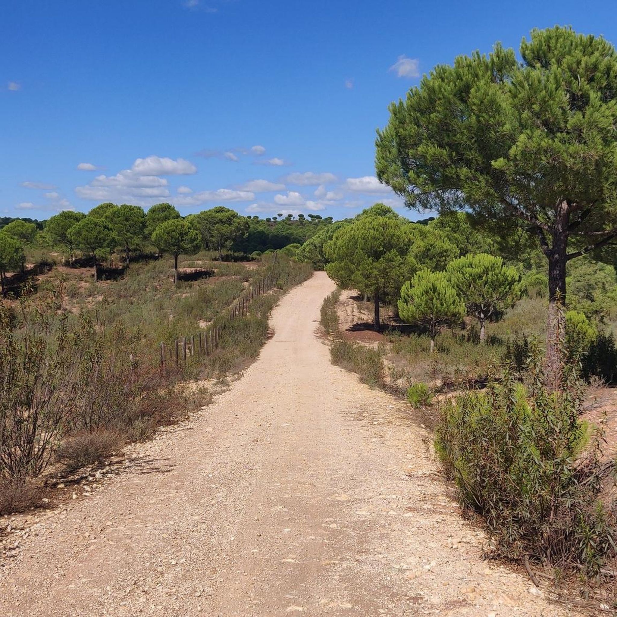
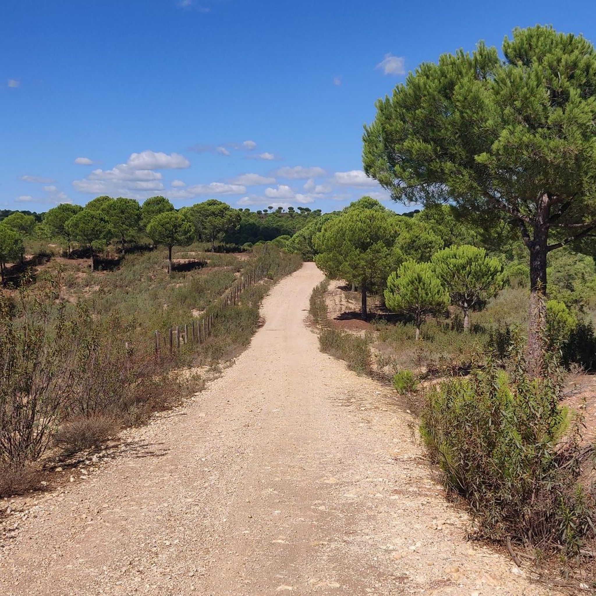
Moderate hike. Good fitness required. Easily-accessible paths. Suitable for all skill levels.
5.0
(1)
6
hikers
12.6km
03:29
230m
230m
Moderate hike. Good fitness required. Easily-accessible paths. Suitable for all skill levels.
Get access to more routes and recommendations from other explorers.
Sign up for free
Already have an account?
Our route recommendations are based on thousands of hikes, rides, and runs completed by other people on komoot.
Start today with a free account
Your next adventure awaits.
Login or Signup

Tips from the Community

In some sections of the Agrio river the water turns reddish and very acidic. This is due to the drainage from the old iron mines in the area. It is like the Tinto river, but on a smaller scale.
0
0

The first reliable data on the history of Villalba del Alcor date back to the Late Bronze Age, some four millennia ago. Remains of nearby mining operations remain evident; these were scattered along the Corumbel River. From the Roman period, we find several important remains in this municipality, such as coins, vases, and so on. The most notable of these is found on the "Las Estaquillas" estate, two kilometers from the town center. It is a portrait of Agrippina, wife of the Emperor Claudius. Her hairstyle, characteristic of the Agrippinas (the use of small curls and the arrangement of her hair in side bands covering the ears), shed light on her identification. These remains suggest that, in the vicinity of the town center, and in the direction of Corumbel, there were several villas belonging to prominent families, who would have made a living from the mines and farming. Another finding that supports the hypothesis of Roman settlement in the region is the existence of a tombstone dedicated to Iuno Regina in 134 BC. It was found at the base of the bell tower of the Church of San Bartolomé, although it owes its origin to the town of Ostur, near Manzanilla. No other significant events are found from this period; the Dehesa de Purchena was continuously settled. Its name, of Roman origin, comes from Porcius plus the suffix -ana (indicative of ownership), which would mean Villa Porciana. This region was also inhabited by Muslims who established scattered farmsteads along the Giraldo stream. After these basic notions about its surroundings, we will focus on the evolution of the population center and the reasons that made Villalba a prominent town in the County of Huelva. The birth of Villalba del Alcor is due to its appeal as a border area for Christians and Muslims. Villalba's high strategic value led to the construction of a fortress, which also served as a mosque in its time, as was the case with La Rábida. It belonged to Niebla until 1253, when it was reconquered by Alfonso X the Wise. Later, in 1331, Villalba passed into the hands of the daughter of the Chief Constable of Niebla, Leonor Núñez. Around 1350, the town was purchased by Alvar Pérez de Guzmán, thus establishing this lineage, which would extend practically until the 15th century. The Pérez de Guzmán and Zúñiga lines were united in 1395 through marriage. It was then that Villalba passed into the hands of the Zúñiga family until the dissolution of the lordships in 1812. Villalba del Alcor, from the Late Middle Ages, became established. The place names "Villalba" and "Alcor" come from different origins: the former is of Christian origin, and the latter means "hill" and is of Muslim origin. On the social level, the rich and varied heritage reflects the economic strength of its inhabitants. In the 16th century, the town center and its population grew. Two Carmelite congregations were founded: the monastery of friars of Santa María de la Antigua in 1588, and the convent of shod nuns of San Juan Bautista in 1619. In 1642, it had 1,750 inhabitants; in the second half of the century, the country's demographic and economic crisis worsened. In the 18th century, Villalba experienced few demographic changes. To further expand on the data on these dates, we can refer to the Cadastre of the Marquis of Ensenada, which describes this situation in detail. Population growth and dependence on agriculture led, throughout the 19th century, to a widespread movement to clear new lands, nearly wiping out the vacant and municipal lands, and changing the forest landscape. Vineyards, the County's star crop, developed on these lands, along with a significant wine industry that eventually included numerous wineries and at least three brandy stills.
0
0

April 1, 2024, after heavy rainfall over the last two weeks, the water levels are extremely high and water is collecting from the mountains everywhere. The turbines have been running since yesterday and water is being released over the dam.
1
0

Impressive images from the river.
2
0

This recreational area is located next to the Las Doblas bridge in the municipality of Sanlúcar la Mayor. In this place, an artificial lagoon has been created in what was an old gravel pit, whose surroundings can be explored through a wooden walkway.
2
0
Path that is close to the riverbed of the Río Guadiamar and where you can find animals and different species associated with the river! Quiet road to walk on!
1
0
The station belongs to the Rio Tinto railway and throughout its history it was used as a siding for the crossing of the mining trains that circulated between Rio Tinto and Huelva, with the aim of regulating traffic in this area. It is currently used as a stop for the tourist train that runs along the Talleres Mina-Los Frailes section.
1
0
Section of river that is crossed by the road but from where you can see the water passage before entering again towards the mountains near El Madroño.
1
0
Frequently Asked Questions
What types of landscapes can I expect to see while hiking around Escacena Del Campo?
Escacena Del Campo offers a diverse hiking experience at the intersection of two distinct geological regions: the Andévalo and the Campiña. You'll encounter low-lying mountains, rolling hills, and unique ravines. The terrain varies from ancient slate and quartzite soils in forested areas, featuring holm oaks and cork oaks, to newer sandy and clay soils historically used for agriculture. The area also boasts specific flora preserved in moist barrancos, such as alders and gall oaks.
How many hiking trails are available in the Escacena Del Campo area?
There are over 10 hiking trails around Escacena Del Campo, offering a range of options for different skill levels and preferences. These routes are highly rated by the komoot community, with an average score of 4.8 stars.
Are there any easy hiking trails suitable for beginners or families in Escacena Del Campo?
Yes, Escacena Del Campo has several easy trails. For instance, the Laguna de las Doblas — circular by Sanlúcar la Mayor is an easy 2.8-mile (4.6 km) circular path that takes about 1 hour 10 minutes to complete, offering gentle terrain perfect for a quick outing or families.
What are some notable natural features or viewpoints to look out for on the trails?
Hikers can explore areas like 'La Pata del Caballo,' a significant natural area undergoing reforestation with holm and cork oaks. The Alto del Cejo within 'La Pata del Caballo' offers panoramic vistas of the Huelva countryside and the Sevillian Aljarafe. Additionally, the unique ravines, such as the 'barranco de los laureles,' preserve rare species and remnants of the area's mining past.
Are there any historical sites or landmarks along the hiking routes?
Yes, the region features historical routes, such as the path leading to the 'Fuente de la Cañería,' a fountain and watering trough still used by livestock. This trail is near an ancient drover's road and can lead to historical sites like the hermitage of San Isidro Labrador and the ancient Roman walls and baths of Tejada la Nueva. You can also explore highlights like the Touristic Railway for Rio Tinto Mines nearby.
What is the best time of year to go hiking in Escacena Del Campo?
While the guide doesn't specify a single 'best' time, the diverse landscapes and varied flora suggest that spring and autumn would offer pleasant temperatures and vibrant scenery. Summers can be hot in Andalusia, so early mornings or late afternoons might be preferable during those months. Winter hikes are also possible, offering a different perspective on the region's natural beauty.
Are there any circular hiking routes available in Escacena Del Campo?
Yes, circular routes are popular in the area. An example is the Laguna de las Doblas — circular by Sanlúcar la Mayor, an easy path. Another option is the Overflow at the Dam loop from Aznalcóllar, a moderate 7.8-mile (12.6 km) trail.
What kind of wildlife might I encounter on the trails?
The area is home to diverse birdlife, including booted eagles (águila calzada), short-toed snake eagles (culebrera), common buzzards (ratonero), and black storks (cigüeña negra). While large mammals are less common, the varied habitats provide a rich environment for many smaller species.
Are there any longer or more challenging hikes for experienced trekkers?
Yes, for more experienced hikers, the El Madroño Miners' Trail is a difficult 11.6-mile (18.7 km) route that offers a significant challenge with more elevation gain. Another moderate option is the Corumbel Reservoir Route from Villalba, which is 11.9 miles (19.1 km) long.
What do other hikers enjoy most about the trails in Escacena Del Campo?
The trails in Escacena Del Campo are highly rated by the komoot community, with an average score of 4.8 stars from over 20 reviews. Hikers often praise the diverse landscapes, from the forested areas to the rolling hills, and the variety of routes available for different skill levels. The blend of natural beauty and historical insights is also frequently appreciated.
Is Escacena Del Campo a good base for exploring other hiking areas in Huelva?
Yes, Escacena Del Campo is well-situated. While offering its own distinct hiking experiences, it's also within reasonable reach of the renowned Sierra de Aracena y Picos de Aroche Natural Park. This larger park provides an extensive network of trails through oak and chestnut forests, white villages, and rich biodiversity, making it a major hiking destination in Andalusia for broader and more varied opportunities.
Most popular routes around Escacena Del Campo
Most popular attractions around Escacena Del Campo

Get inspired with the komoot mobile app


Explore more
Browse the best Hikes in other regions.
