The best cycling routes around Montamarta
4.5
(2)
70
riders
8
rides
Touring cycling around Montamarta offers routes through the vast and open meseta of the high central plain of Spain. The region features varied landscapes, including the scenic Ricobayo Reservoir and sections of the historic Vía de la Plata. Cyclists can expect a mix of paved roads and varied surfaces, connecting natural beauty with historical landmarks.
Best touring cycling routes around Montamarta
- The most popular touring cycling route is Montamarta from Zamora – circular via the Ricobayo Reservoir, a 48.5…
Last updated: October 15, 2026
13
riders
44.7km
04:00
500m
500m
Hard bike ride. Very good fitness required. Mostly paved surfaces. Suitable for all skill levels.
5.0
(1)
15
riders
60.6km
05:45
920m
920m
Hard bike ride. Very good fitness required. Mostly paved surfaces. Suitable for all skill levels.

9
riders
35.5km
02:26
180m
180m
Moderate bike ride. Good fitness required. Mostly paved surfaces. Suitable for all skill levels.
7
riders
35.4km
03:21
460m
460m
Hard bike ride. Very good fitness required. Mostly paved surfaces. Suitable for all skill levels.
7
riders
57.2km
05:03
830m
830m
Hard bike ride. Very good fitness required. Mostly paved surfaces. Suitable for all skill levels.
Get access to more routes and recommendations from other explorers.
Already have an account?
Our route recommendations are based on thousands of hikes, rides, and runs completed by other people on komoot.

Tips from the Community


The Aliste River is a watercourse that originates in the Sierra de la Culebra, in the district of San Pedro de las Herrerías, in the province of Zamora, Spain. Along its route, it passes through the towns that make up the valley of the region that bears its name. Some of these towns include Mahíde, Las Torres de Aliste, Pobladura de Aliste, Palazuelo de las Cuevas, San Vicente de la Cabeza, Bercianos de Aliste, Flores de Aliste, Gallegos del Río, Domez, Vegalatrave, Vide de Alba, El Castillo de Alba, and finally reaches Carbajales de Alba.
1
0

From the top of this small town located at the top of one of the terraces that the Río Aliste has created, we can see perfectly this river crossing and the same bridge that helps to cross on foot to the other side of the stream.
0
0
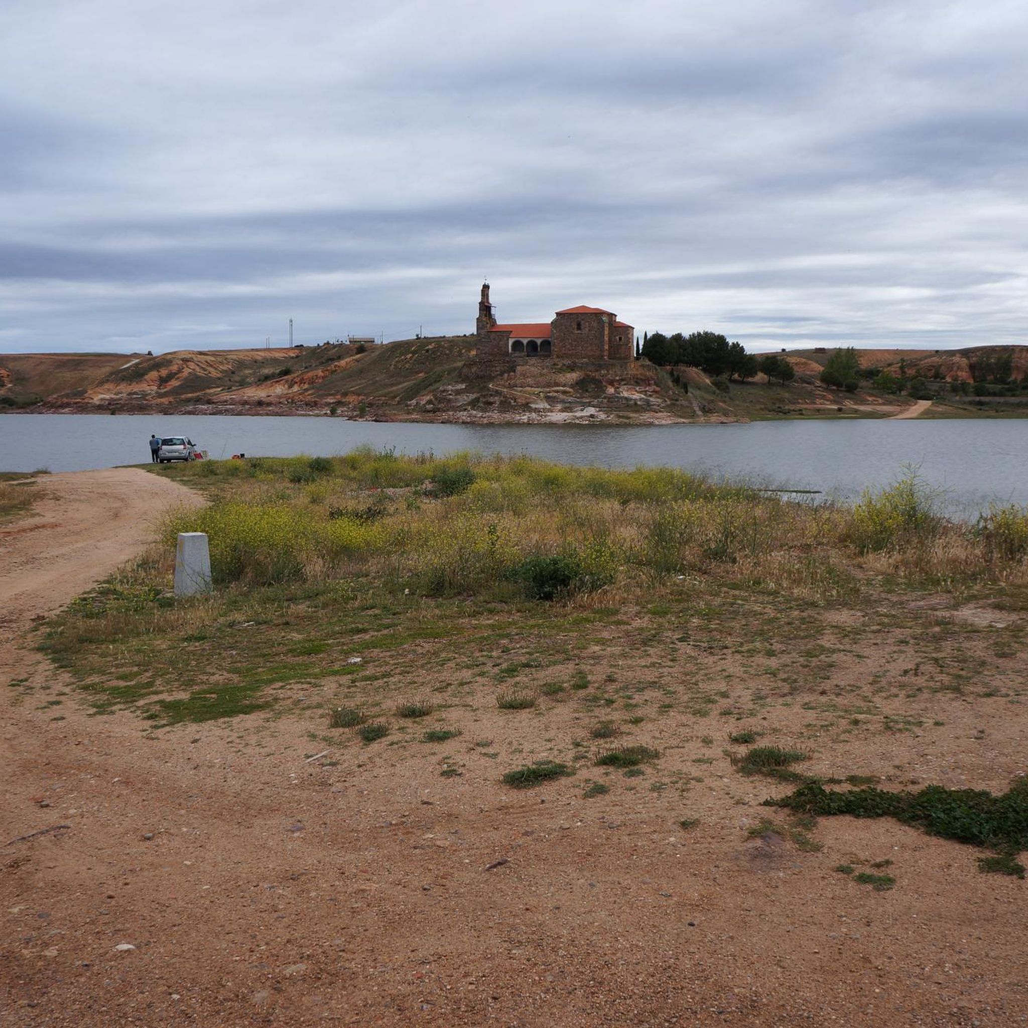
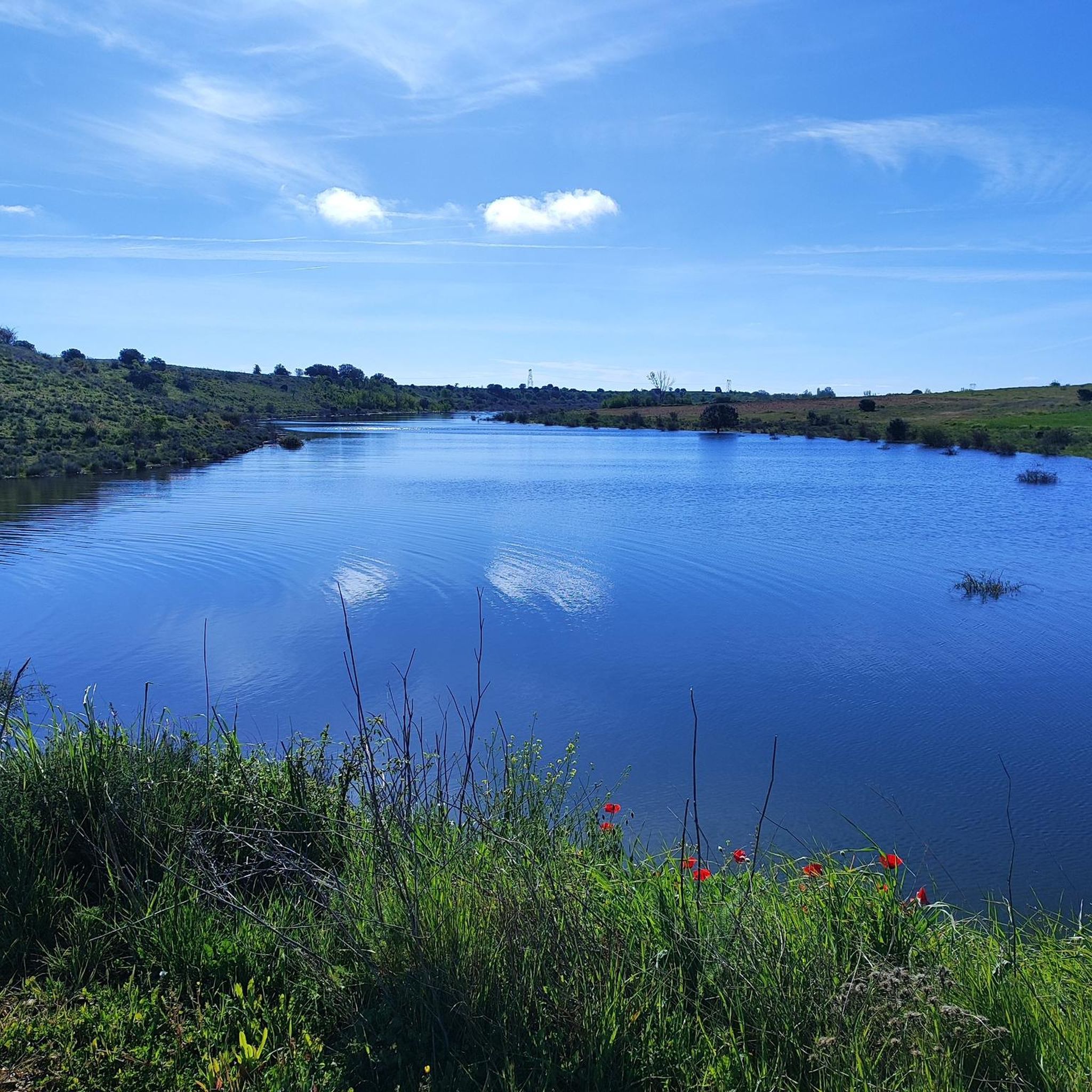
To the north of the Sierra de Cantadores we find this mountain range that is located along the banks of the Ricobayo Reservoir. Beautiful area of crowded areas.
0
0

A narrow bridge used by the locals to cross the ravine. The water level fluctuates drastically during the dry and wet seasons.
1
0
Fortress on a defensive hill that dominates the Aliste river. The ruined castle offers spectacular views of the river canyon.
1
0
The Valdoradas Bridge crosses the Esla River Reservoir on the ZA-911 road. During dry seasons, this section of the reservoir can dry up.
1
0

We will find beautiful panoramic views walking along the road near the Valdoradas bridge, surely on our route to the La Palia waterfall.
1
0
Frequently Asked Questions
How many touring cycling routes are available around Montamarta?
There are 6 touring cycling routes around Montamarta, offering a variety of experiences through the region's unique landscapes. These routes range from moderate to difficult in terms of challenge.
What kind of landscapes can I expect to see while touring cycling in Montamarta?
Touring cyclists in Montamarta will experience the vast and open meseta of the high central plain of Spain. Key natural features include the scenic Ricobayo Reservoir, offering picturesque water views, and the characteristic open landscapes of the Castilian meseta. The routes often combine natural beauty with historical exploration.
Are there any circular touring cycling routes in the Montamarta area?
Yes, several routes are circular. For example, the challenging Montamarta from Zamora – circular via the Ricobayo Reservoir is a popular option. Another loop is the Perilla de Castro – Losacino Bridge loop from Carbajales de Alba, exploring rural surroundings.
What historical or natural landmarks can I discover along the touring cycling routes?
The region is rich in history and natural beauty. You can encounter sections of the ancient Vía de la Plata, a historic pilgrimage route. A notable historical landmark is the 7th-century Visigothic Church of San Pedro de la Nave, which was relocated stone by stone near the Ricobayo Reservoir. Other highlights include the Church of Santa María la Real de La Hiniesta and the ruins of Castrotorafe Castle.
How challenging are the touring cycling routes around Montamarta?
The touring cycling routes around Montamarta are generally considered moderate to difficult. Many routes, like the Montamarta from Zamora – circular via the Ricobayo Reservoir, are classified as difficult and require good physical fitness. Surfaces can vary, including paved roads, gravel farmer's lanes, asphalt, concrete, and dirt, suggesting a hybrid bike might be more suitable than a road bike for some sections.
Are there any family-friendly touring cycling routes near Montamarta?
While many routes are rated moderate to difficult, some sections, particularly those closer to Zamora, might be more accessible for families. For instance, the Zamora Old Town – Zamora loop from Zamora is a moderate route that could be considered, depending on the family's experience level. It's always recommended to check the route details for elevation and surface type before heading out with children.
What do other touring cyclists enjoy most about cycling in Montamarta?
The area is highly rated by the komoot community, with an average score of 4.0 stars. Reviewers often praise the vast and open landscapes of the meseta, the scenic views of the Ricobayo Reservoir, and the opportunity to cycle along historic paths like the Vía de la Plata, combining natural beauty with cultural exploration.
When is the best time of year to go touring cycling in Montamarta?
The region's open meseta landscape can be exposed to the elements. Spring and autumn generally offer the most pleasant temperatures for touring cycling, avoiding the intense heat of summer and the colder, potentially wetter conditions of winter. These seasons provide comfortable weather to enjoy the varied terrain and historical sites.
Are there options for parking near the touring cycling routes?
Yes, for routes starting from towns like Montamarta or Zamora, you can typically find public parking facilities. For routes that begin in smaller villages or rural areas, roadside parking might be available, but it's advisable to check specific starting points on komoot for detailed parking information.
Can I find places to eat or stay along the touring cycling routes?
Towns and villages along the routes, such as Montamarta and Zamora, offer various amenities including cafes, restaurants, and accommodation options. The Vía de la Plata, in particular, is known for having towns spaced conveniently every 15 to 20 kilometers, providing opportunities for refreshments and overnight stays for cyclists.
What is the longest moderate touring cycling route available?
The longest moderate touring cycling route is the Zamora Stone Bridge – Plaza Mayor, Zamora loop from Zamora, which covers 35.2 miles (56.7 km) and typically takes about 4 hours 45 minutes to complete.
Are there any routes that focus on water features?
Yes, the Olivares Watermills – Valorio Forest loop from La Hiniesta is a moderate route that includes water features like the Olivares Watermills, offering a different scenic experience.
Most popular attractions around Montamarta

Get inspired with the komoot mobile app


Explore more
Browse the best Cycling routes in other regions.
