The best walks and hikes around Aguilar De La Frontera
4.2
(30)
154
hikers
40
hikes
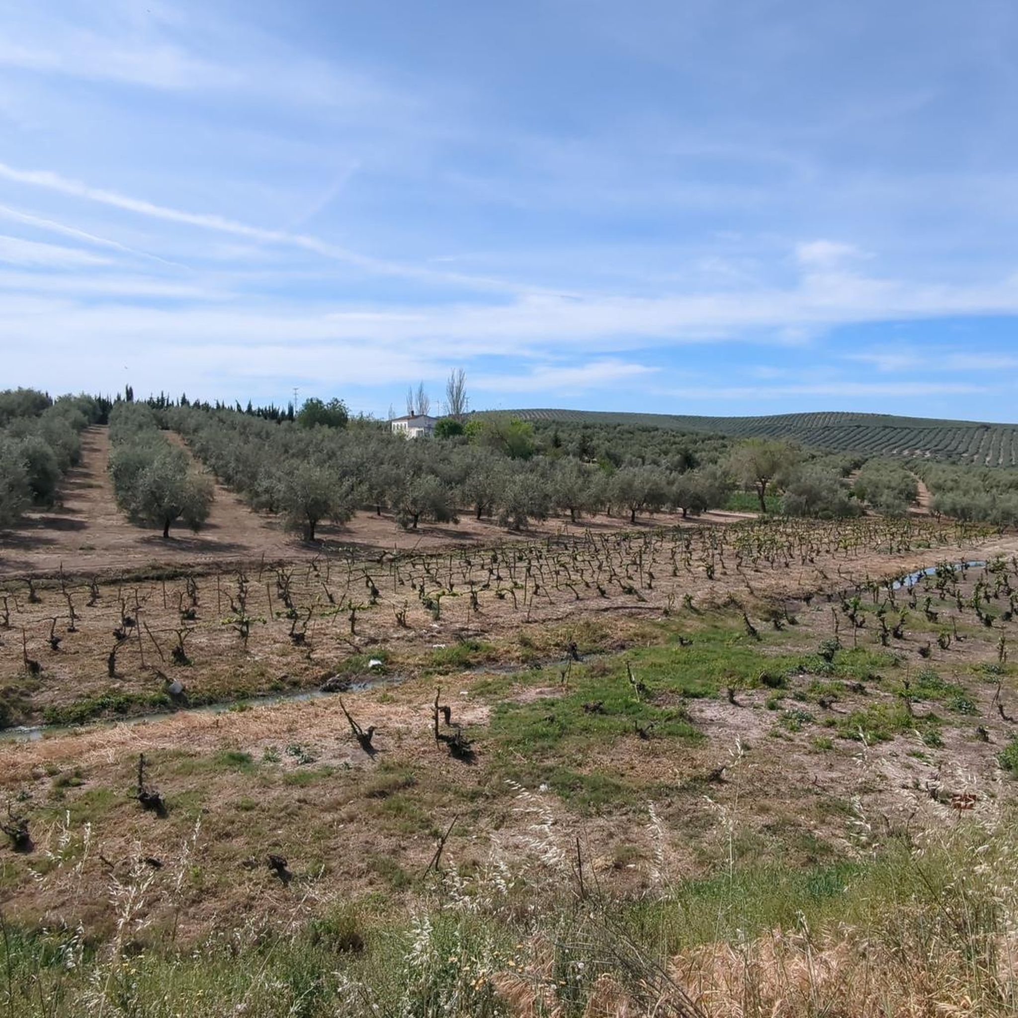
Hiking around Aguilar De La Frontera provides access to routes through the agricultural plains and gentle river valleys of Andalusia. The region is characterized by cultivated fields, olive groves, and natural areas such as lagoons and riverbanks. These hiking trails in Aguilar De La Frontera typically feature modest elevation changes, making them suitable for various fitness levels. The terrain offers a blend of open landscapes and riparian environments.
Best hiking trails around Aguilar De La Frontera
- The most popular hiking…
Last updated: July 7, 2026
5.0
(1)
5
hikers
8.71km
02:18
80m
80m
Moderate hike. Good fitness required. Easily-accessible paths. Suitable for all skill levels.
3.7
(3)
6
hikers
7.33km
02:01
120m
120m
Moderate hike. Good fitness required. Easily-accessible paths. Suitable for all skill levels.

Sign up for free
3.8
(6)
18
hikers
8.95km
02:31
180m
180m
Moderate hike. Good fitness required. Easily-accessible paths. Suitable for all skill levels.
3.0
(2)
11
hikers
4.87km
01:17
40m
40m
Easy hike. Great for any fitness level. Easily-accessible paths. Suitable for all skill levels.
4.0
(5)
10
hikers
6.82km
01:49
70m
70m
Easy hike. Great for any fitness level. Easily-accessible paths. Suitable for all skill levels.
Get access to more routes and recommendations from other explorers.
Sign up for free
Already have an account?
Our route recommendations are based on thousands of hikes, rides, and runs completed by other people on komoot.
Start today with a free account
Your next adventure awaits.
Login or Signup
Tips from the Community

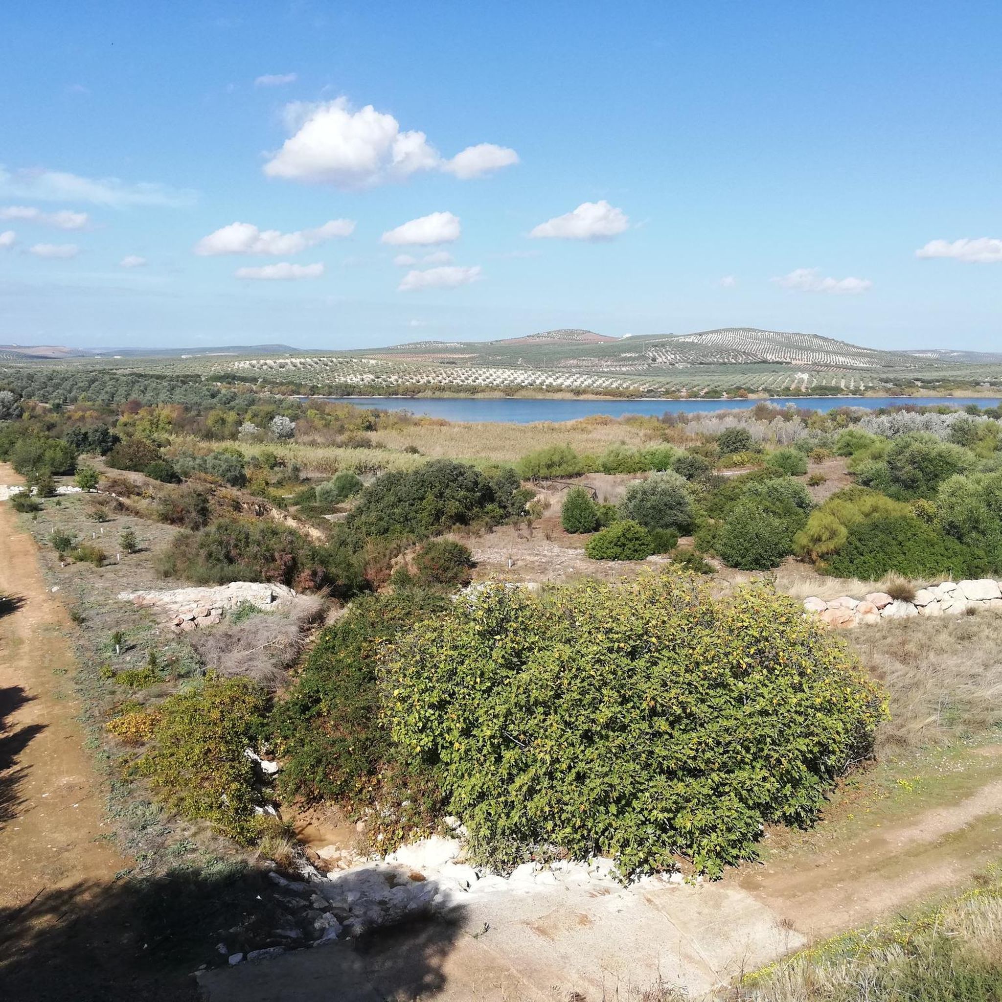
Beautiful valley through which the Río Genil runs and which offers a wide view of this area that is above the arrival of the reservoir.
0
0
Hermitage that still contains the style of a Mozarabic-style cave church in which the amplitude of its façade stands out, making it one of the few monuments of these characteristics in Andalusia.
0
0
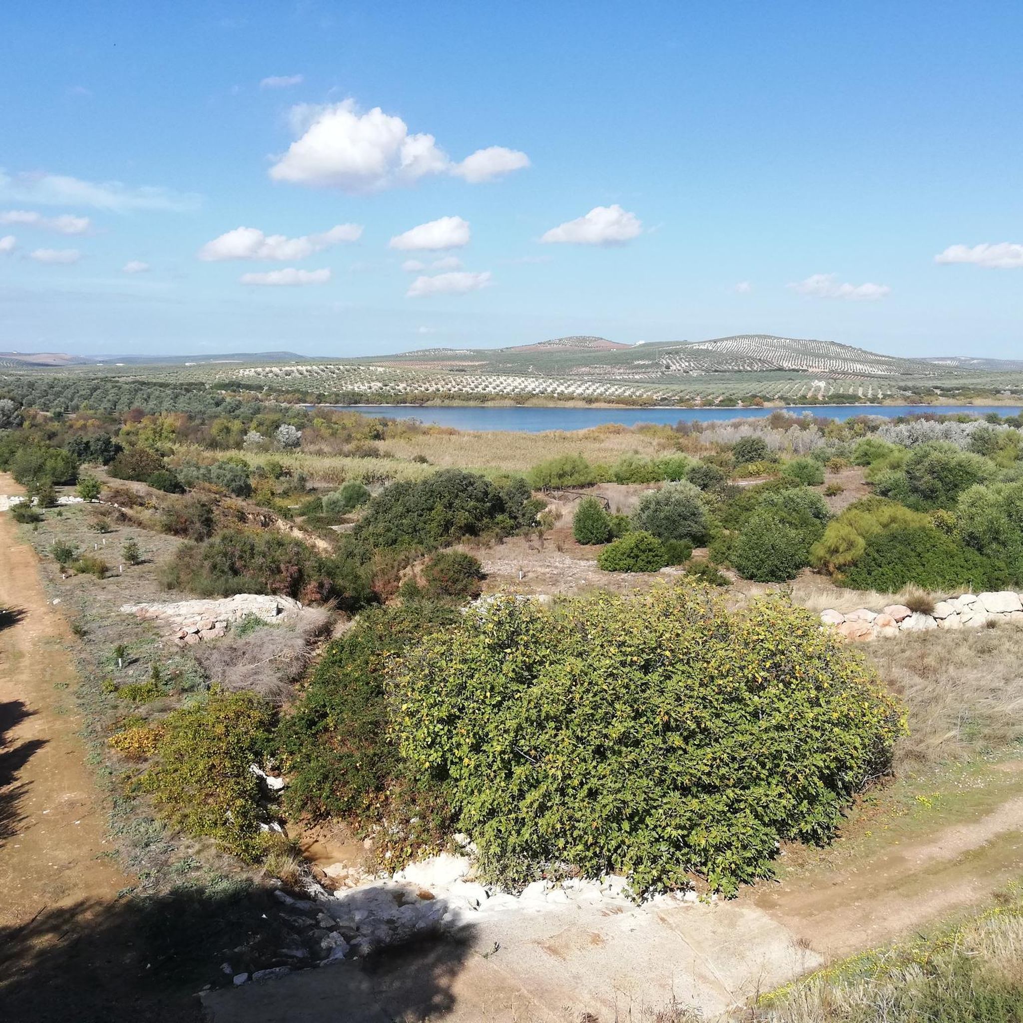
Beautiful views of the Malpasillo Reservoir and you can also see the continuity of the Río Genil!
0
0

Outdoor adventure route, passing through the Hermitage of Nuestra Señora de la Fuensanta and the ruins of old mines.
1
0
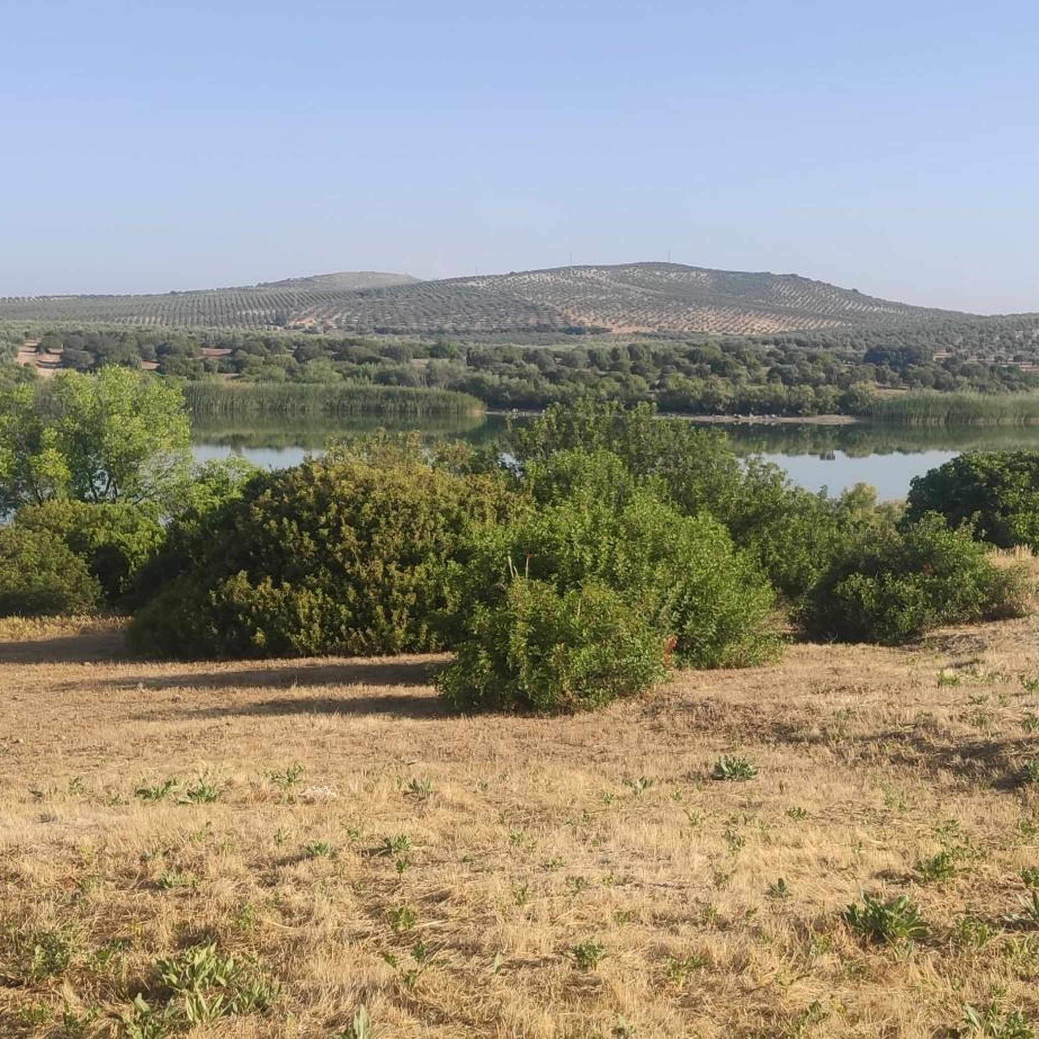
View of the Malpasillo Dam on the Genil River on the outskirts of the town of Badolatosa. The slowing of the river creates a unique natural landscape and a habitat for wildlife. A great outdoor space for adventure.
1
0

Laguna de Zóñar is a "Wetland of International Importance". It belongs to the Inventory of Protected Natural Areas of the Junta de Andalucía. It is the only natural lake in Andalusia, reaching a depth of 14 meters. It is the habitat of more than 30 species of birds, which we can observe walking through this unique place.
2
0
Birthplace of Gonzalo Fernández de Córdoba, the Great Captain, born in 1453 in the castle of Montilla. City famous for the quality of its Pedro Ximénez grape, integrating the region with the Montilla-Moriles Designation of Origin. Passing through the oldest part of Montilla, it is worth visiting the 16th century church of Santiago.
0
0
From this point we can see the dam on the Genil river and the town of Badolatosa on our left. Going down the dirt road we will arrive at the famous meander of the Genil river (it is a 15-minute walk).
2
0
Frequently Asked Questions
How many hiking trails are there around Aguilar De La Frontera?
Aguilar De La Frontera offers a diverse network of over 40 hiking trails. These routes traverse agricultural plains, gentle river valleys, and natural areas like lagoons, providing options for various preferences.
Are there easy hiking trails suitable for beginners in Aguilar De La Frontera?
Yes, the region is well-suited for beginners and those seeking less strenuous walks. There are 18 easy trails available, characterized by modest elevation changes and pleasant landscapes of cultivated fields and olive groves. An example of an easy route is the Montilla Town Center – Montilla loop from Montilla.
What kind of terrain can I expect on hikes in Aguilar De La Frontera?
The terrain around Aguilar De La Frontera is generally gentle, featuring agricultural plains, rolling hills, and river valleys. You'll encounter cultivated fields, extensive olive groves, and natural areas along riverbanks and around lagoons. The elevation changes are typically modest, making most trails accessible.
Are there any circular hiking routes in Aguilar De La Frontera?
Yes, many of the trails in the area are circular, allowing you to start and end at the same point. Popular circular options include the Laguna de Zóñar Loop, which circles a significant natural lagoon, and the Arroyo del Pontón – Genil River Meander loop from Badolatosa.
What are some natural attractions or landmarks I can see while hiking?
Hiking in Aguilar De La Frontera offers opportunities to explore several natural and historical landmarks. You can discover the Genil River Meander, the serene Laguna del Rincón, or the impressive Arroyo del Pontón gorge. The Hermitage of Our Lady of Fuensanta is another notable point of interest along some routes.
Are there any challenging hikes in the region?
While most trails feature modest elevation changes, there is one designated difficult route among the 42 available hikes. The majority are easy or moderate, focusing on enjoyable walks through the region's characteristic landscapes rather than strenuous climbs.
What do other hikers say about the trails in Aguilar De La Frontera?
The hiking trails in Aguilar De La Frontera are highly regarded by the komoot community, holding an average rating of 4.1 stars from over 30 reviews. Hikers often praise the peaceful natural settings, the beauty of the lagoons, and the pleasant walks through olive groves and along riverbanks.
When is the best time of year to go hiking in Aguilar De La Frontera?
Spring and autumn are generally the most pleasant seasons for hiking in Aguilar De La Frontera. The weather is milder, and the landscapes are vibrant. Summer can be very hot, so if hiking during this time, it's best to start early in the morning or late in the afternoon to avoid the midday heat.
Are there any trails that offer good viewpoints?
Yes, some trails provide excellent opportunities for scenic views. For instance, you can find Views of the Malpasillo Dam and Genil River, offering expansive vistas of the surrounding natural and agricultural landscapes.
Are there short walking options available?
Absolutely. Many trails are relatively short, perfect for a quick stroll or a leisurely walk. For example, the Montilla Town Center – Montilla loop from Montilla is an easy 4.9 km (3 miles) route that can be completed in under 1.5 hours.
Can I find trails that follow rivers or pass by water features?
Yes, the region is characterized by its riparian environments. Several trails follow the Genil River, such as Near the Genil River and Fuensanta Chapel — round trip from Badolatosa, and others circle natural lagoons like the Laguna de Zóñar Loop.
Most popular routes around Aguilar De La Frontera
Most popular attractions around Aguilar De La Frontera

Get inspired with the komoot mobile app


Explore more
Browse the best Hikes in other regions.
