The best running trails around Rueda De La Sierra
46
runners
6
runs
Jogging routes around Rueda De La Sierra provide access to the Sierra Norte de Guadalajara Natural Park, an area characterized by diverse topography and significant natural features. The region features rugged terrain with river valleys and hills, including uplifted gneiss ridges and red clay landscapes. Joggers can experience varied elevations, from serene river paths to routes through beech forests and past unique geological formations.
Best jogging routes around Rueda De La Sierra
- The most popular jogging route is Camino del…
Last updated: June 28, 2026
1
runners
12.7km
01:25
140m
140m
Jog the 7.9-mile Camino del Cid: Molina de Aragón and Castilnuevo Loop, a moderate route through historical towns and the Alto Tajo Natural
15
runners
Moderate run. Good fitness required. Mostly paved surfaces. Suitable for all skill levels.

Sign up for free
10
runners
9.09km
01:05
170m
170m
Moderate run. Good fitness required. Mostly paved surfaces. Suitable for all skill levels.
10
runners
5.93km
00:43
170m
170m
Moderate run. Good fitness required. Mostly paved surfaces. Suitable for all skill levels.
7
runners
8.44km
00:54
20m
20m
Moderate run. Good fitness required. Mostly paved surfaces. Suitable for all skill levels.
Our route recommendations are based on thousands of hikes, rides, and runs completed by other people on komoot.
Start today with a free account
Your next adventure awaits.
Login or Signup
Popular around Rueda De La Sierra
Tips from the Community

In Molina we have everything: accommodation, shops, pharmacy. Good place to refuel
1
0

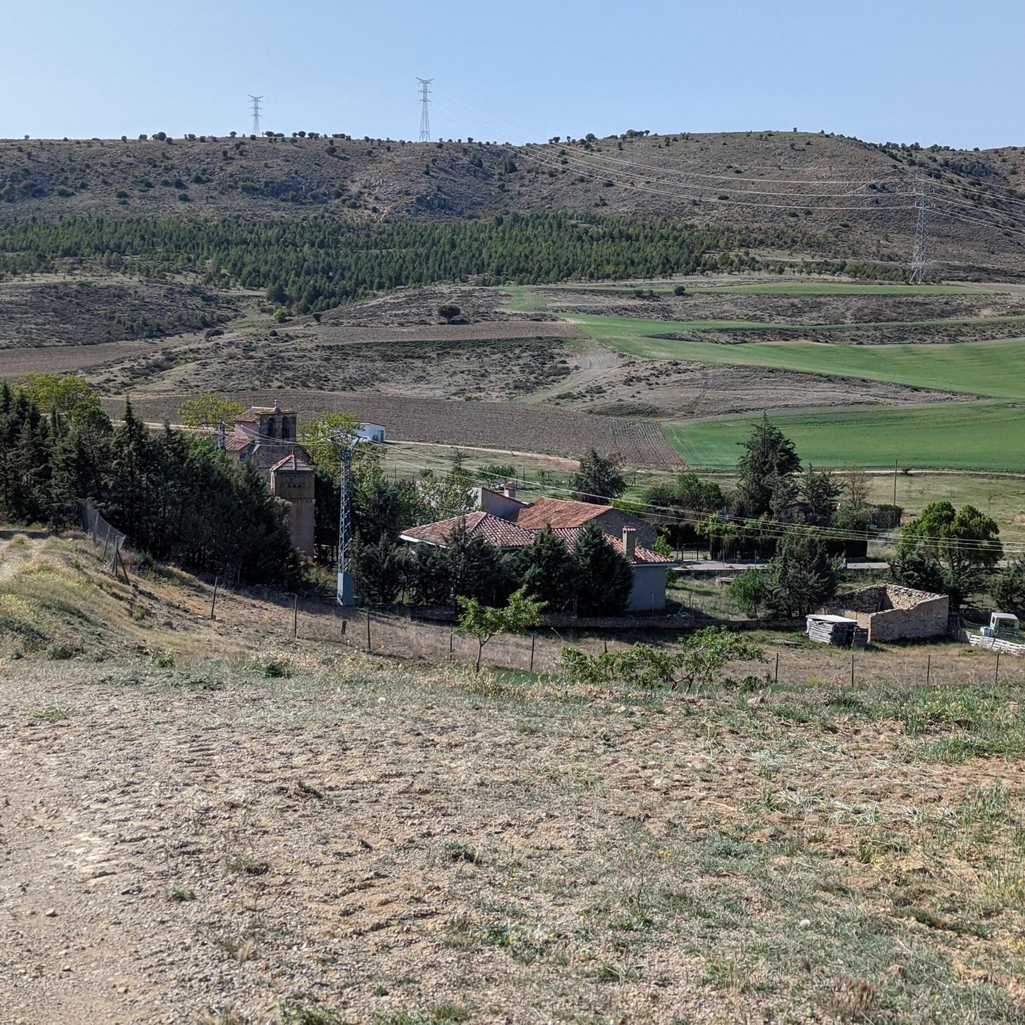
Castilnuevo is a small town in the province of Guadalajara that gained importance in the 12th century when Alfonso I of Aragón established a base here for the conquest of Molina de Aragón. After this feat, his castle was built, which was used as a strong house. On the outskirts of town is the Romanesque church of the Virgen del Valle, also from the 12th century.
0
0

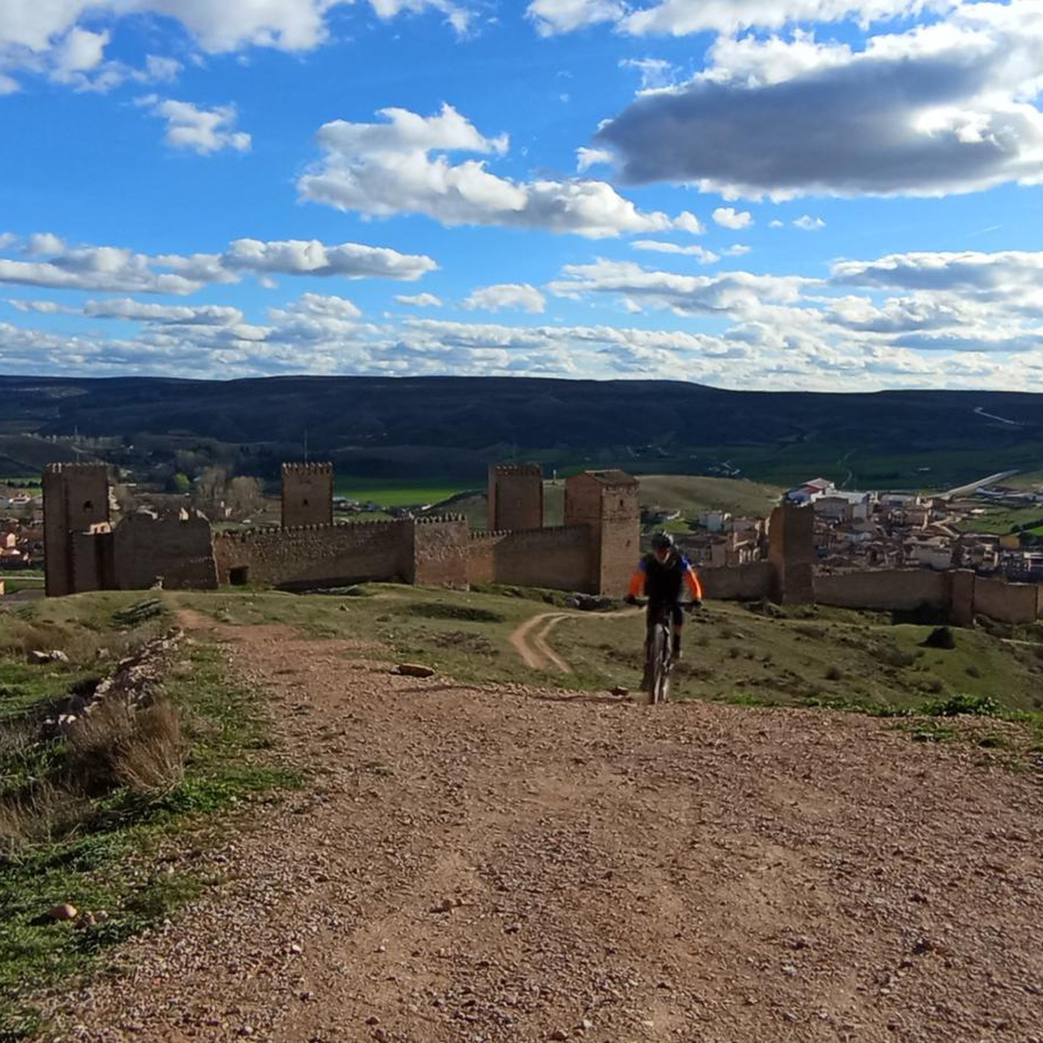
In the castle of Molina it is necessary to distinguish the fortress surrounded by walls, and the so-called Torre de Aragón. The fortress is from the 12th century and was built by Manrique de Lara, the first lord of Molina. The Torre de Aragón was built on the Arab castle, and this on a previous Celtiberian castro.
11
1

Spanish municipality in the province of Guadalajara through which the tourist route called Camino del Cid passes.
1
1
Also known as the Molina de los Caballeros fortress, this fortification is located in the municipality of Molina de Aragón, located on the slopes of the mountain that rises above the town and the valley of the Gallo river. It is in a state of consolidated ruin, and it is possible to visit it upon request. It was declared a National Monument on June 3, 1931.
1
1
Also known as the Molina de los Caballeros fortress, this fortification is located in the municipality of Molina de Aragón, located on the slopes of the mountain that rises above the town and the valley of the Gallo River. It is in a state of consolidated ruin, and a visit is possible upon request. It was declared a National Monument on June 3, 1931.
2
2
Spanish municipality in the province of Guadalajara through which the tourist route called Camino del Cid passes.
2
0

Known as the Molina de los Caballeros fortress, the castle and the tower have recently been valued and are worth visiting to learn about the history of this wonderful place. Built by the Andalusians on an existing fortress, this complex dates from the 10th century until it was seized by the Alfonso I of Aragon in the mid-12th century. The most recent history is related to its role as a military headquarters during the Carlist wars until it was completely abandoned in the 20th century. It can be visited and is undoubtedly worth doing so, you can check schedules and rates on the web: https://www.turismomolinadearagon.com/
1
0
Frequently Asked Questions
How many jogging routes are available around Rueda De La Sierra?
There are currently 4 jogging routes available around Rueda De La Sierra on komoot, all rated as moderate difficulty. These routes offer a good balance for runners looking for engaging trails without extreme challenges.
What kind of terrain can I expect on running routes near Rueda De La Sierra?
The running routes near Rueda De La Sierra, particularly within the Sierra Norte de Guadalajara Natural Park, feature diverse and rugged terrain. You'll encounter everything from river valleys to areas with uplifted gneiss ridges and red clay landscapes, offering varied elevations and scenic backdrops for your run.
Are there any family-friendly running options in the area?
While all routes listed are currently rated as moderate, the region offers a variety of trails within the Sierra Norte de Guadalajara Natural Park. For families, consider routes that stick to the lower valleys or pine forests, such as sections of the 'Senda de Carretas' in Hayedo de Tejera Negra, which are generally less strenuous and offer picturesque scenery.
Can I bring my dog on the running trails around Rueda De La Sierra?
Many trails within the Sierra Norte de Guadalajara Natural Park are dog-friendly, but it's always best to check specific regulations for each route or protected area. Generally, dogs should be kept on a leash to protect local wildlife and ensure a pleasant experience for all trail users.
Are there any circular running routes available?
Yes, several circular running routes are available. For example, the Camino del Cid: Molina de Aragón and Castilnuevo Loop is a 12.7 km circular trail. Another option is the Castle of Molina de Aragón – Molina de Aragón loop from Molina de Aragón, which is 11.5 km long.
What natural features or landmarks can I see while jogging in the region?
The region is rich in natural beauty and historical landmarks. You can encounter unique geological formations like the Mingo Negro Gullies, picturesque beech forests such as Hayedo de Tejera Negra, and charming 'Black Architecture' villages. Some routes also pass by historical sites like the Castle of Molina de Aragón or the settlement of Castilnuevo.
Are there any routes that feature waterfalls?
Yes, the Sierra Norte de Guadalajara Natural Park is home to beautiful waterfalls. While not directly on the listed jogging routes, you can find natural attractions like the Chorreras de Despeñalagua waterfall and the Aljibe Waterfalls, formed by the Jarama River, within the broader park area. These make for excellent points of interest to explore after your run.
What is the best time of year for running in Rueda De La Sierra?
The best time for running in Rueda De La Sierra generally depends on your preference. Spring and autumn offer pleasant temperatures and stunning scenery, especially in autumn when the beech forests turn golden. Summer can be warm, so early morning or late evening runs are advisable. Winter can be challenging due to colder temperatures and potential snow at higher elevations.
Are there any challenging running trails for experienced runners?
While the komoot routes listed are currently moderate, the Sierra Norte de Guadalajara Natural Park, which surrounds Rueda De La Sierra, offers extensive trails with diverse topography, including over 20 peaks exceeding 2,000 meters. Experienced runners seeking elevation and more challenging terrain can explore routes leading towards peaks like Pico del Lobo or Cerrón within the park.
What do other runners enjoy most about jogging in Rueda De La Sierra?
Runners often praise the varied terrain and the stunning natural beauty of the Sierra Norte de Guadalajara Natural Park. The mix of river valleys, forests, and historical villages provides a rich and engaging experience. The extensive network of footpaths ensures options for different fitness levels, allowing many to enjoy the region's diverse landscapes.
Are there any routes that offer views of historical architecture?
Yes, some routes provide views of historical architecture. For instance, the Castle of Molina de Aragón – Molina de Aragón loop from Molina de Aragón and the Castle of Molina de Aragón – Tower of Aragón loop from Molina de Aragón both lead through areas with historical landmarks, including the impressive Castle of Molina de Aragón.
Is public transport available to reach the trailheads?
While Rueda De La Sierra is a small community, its proximity to the Sierra Norte de Guadalajara Natural Park means that access to trailheads often requires personal transport. Public transport options to the more remote trailheads within the park might be limited, so planning your journey in advance is recommended.
Where can I find parking for the running routes?
Parking availability varies by trailhead. For routes starting near towns like Molina de Aragón, you can typically find parking within the town or at designated spots near popular attractions. It's advisable to check specific route details or local information for parking recommendations before you go.
Most popular routes around Rueda De La Sierra
Most popular attractions around Rueda De La Sierra

Get inspired with the komoot mobile app


Explore more
Browse the best Running Trails & Routes in other regions.
