The best road cycling routes around Manuel
4.5
(71)
5,551
riders
103
rides
Road cycling routes around Manuel are characterized by varied terrain, including reservoir loops and routes connecting towns. The region offers a mix of well-paved roads and some routes with significant elevation changes. Cyclists can find paths suitable for different fitness levels, from moderate rides to more challenging ascents. The landscape features agricultural areas, hills, and views towards coastal areas or reservoirs.
Best road cycling routes around Manuel
- The most popular road cycling route is Tous Reservoir Loop from La Pobla…
Last updated: June 26, 2026
4.3
(3)
16
riders
59.1km
02:53
550m
550m
Moderate road ride. Good fitness required. Mostly well-paved surfaces and easy to ride.
297
riders
113km
06:02
1,790m
1,790m
Hard road ride. Very good fitness required. Mostly well-paved surfaces and easy to ride.

Sign up for free
182
riders
56.4km
02:51
780m
780m
Moderate road ride. Good fitness required. Mostly well-paved surfaces and easy to ride.
5.0
(2)
138
riders
52.7km
02:19
330m
330m
Moderate road ride. Good fitness required. Mostly well-paved surfaces and easy to ride.
99
riders
97.4km
04:33
1,150m
1,150m
Hard road ride. Very good fitness required. Mostly well-paved surfaces and easy to ride.
Get access to more routes and recommendations from other explorers.
Sign up for free
Already have an account?
Our route recommendations are based on thousands of hikes, rides, and runs completed by other people on komoot.
Start today with a free account
Your next adventure awaits.
Login or Signup

Tips from the Community

The port of Barx is a Valencian classic. Its horseshoe bends run over the panorama of the surrounding mountains and the Mediterranean coast.
3
0

Enjoy refreshing water in the adjacent pool. Open during the summer months. There's an entrance fee. See also: Anna Lagoon Lake | Anna City Council https://www.ayuntamientoanna.es/albufera-anna.
0
1

From Enguera, it's 14.8 km at 3.3% with a maximum gradient of 9%, reaching the summit at 654 (754 according to the sign) meters above sea level after a 488-meter climb. It's a secondary road with little traffic in good condition. However, there's no shade. The last 12.4 km are marked with typical mountain pass signs in the CV.
0
0
From Enguera, it's 14.8 km at 3.3% with a maximum gradient of 9%, reaching the summit at 654 meters above sea level after a 488-meter climb. It's a secondary road with little traffic in good condition. There's no shade, however. The last 12.4 km are marked with typical mountain pass signs in the CV.
0
0


"This is the exact point where the bike wants to fly... but the view forces you to brake. Serra de les Agulles in the background and Santa Maria de la Valldigna below. A rewarding descent!" Then, refocus as the road twists and turns just beyond with a double bend that demands your attention and puts your brakes to the test.
1
0
The "Col de Rates de la Safor" The Barx Pass, from Simat, is a gem for any cycling enthusiast. A climb that perfectly combines effort with the beauty of the surroundings. Each curve offers a new perspective of the Valldigna Valley, while the monastery remains behind as a silent witness to the ascent. Frequently used by local cyclists, it's an ideal stretch to enjoy at a leisurely pace, feeling each pedal stroke amidst nature and heritage. With several well-defined hairpin bends and a steady but manageable gradient, it's perfect for enjoying the effort without suffering too much. Pass details: 6.3 km | 301 m elevation gain | average gradient of 4.8% | ramps of up to 9.8%.
1
0
On the CV-675 after Barx and leaving the La Drova development towards Gandía we find a recreational area where we can stop to rest or eat something, there is a fountain where you can refill water for the journey.
1
0
Frequently Asked Questions
How many road cycling routes are available around Manuel?
Manuel offers a wide selection of road cycling routes, with over 80 options available. These routes cater to various skill levels, including 25 easy, 42 moderate, and 17 difficult paths, ensuring there's something for every cyclist.
Are there easy road cycling routes suitable for beginners or families in Manuel?
Yes, Manuel features several easy road cycling routes perfect for beginners or families. These routes typically offer well-paved surfaces and less challenging terrain, allowing for a relaxed ride through the scenic environment. You can find 25 easy routes to explore.
What are some challenging road cycling routes for experienced cyclists in Manuel?
For experienced cyclists seeking a challenge, Manuel provides routes with significant elevation changes and varied landscapes. A particularly demanding option is the La Visteta Viewpoint – Port de Barx loop from L'Ènova - Manuel, which covers 70.3 miles (113.2 km) with an ascent of 5889 feet (1795 m). Another difficult route is the La Visteta Viewpoint – Port de Barx loop from Castelló, spanning 73.3 miles (118 km) with nearly 3200 feet (975 m) of climbing.
Are there any scenic loop road cycling routes around Manuel?
Yes, loop routes are a defining characteristic of road cycling in Manuel, often circling reservoirs or connecting towns through picturesque landscapes. A popular choice is the Tous Reservoir Loop from La Pobla Llarga, a moderate 36.7-mile (59.1 km) ride with a notable climb of 1820 feet (555 m). Another option is the Port de Barx – La Visteta Viewpoint loop from La Pobla Llarga, a 32.2-mile (51.7 km) moderate route.
What kind of landscapes can I expect to see while road cycling in Manuel?
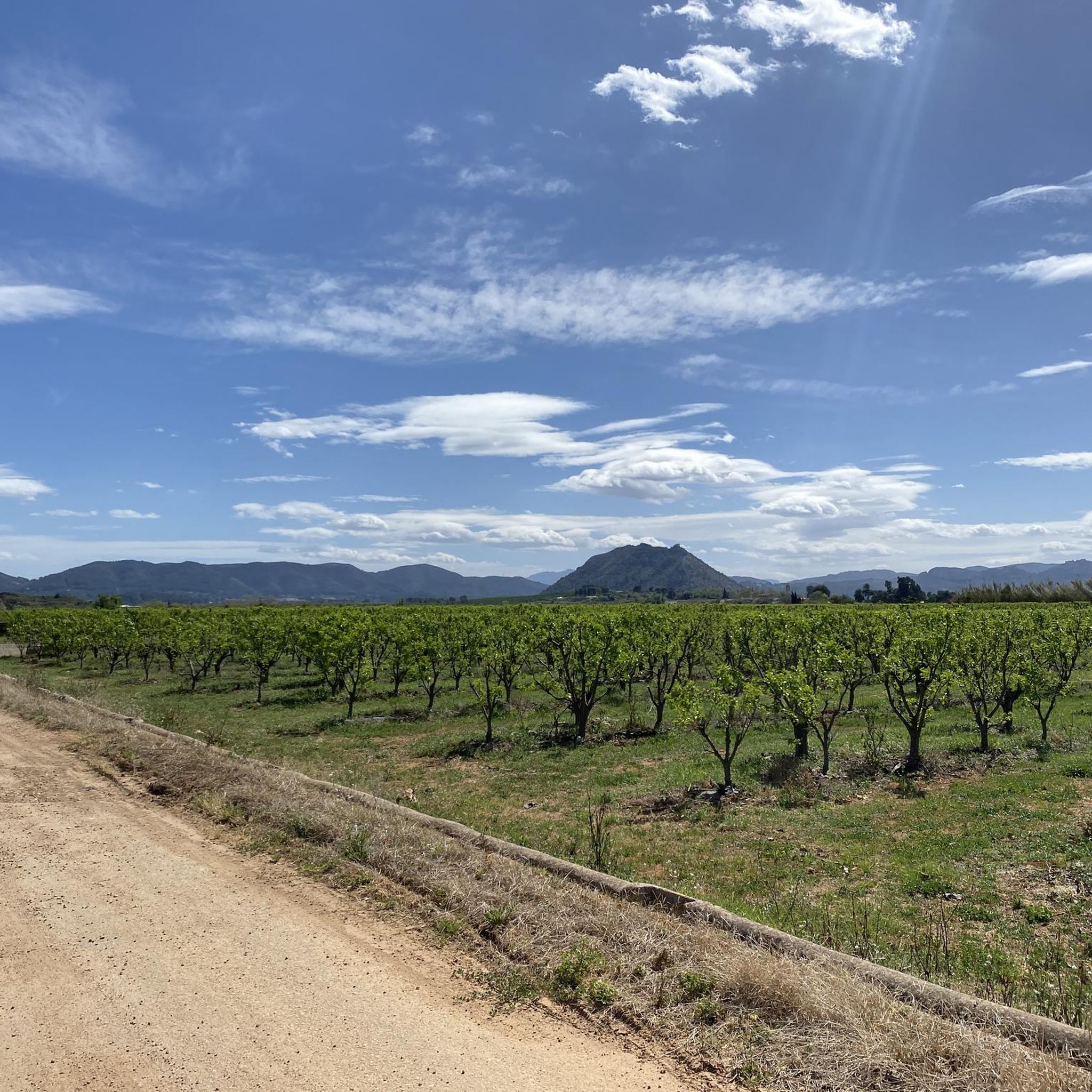
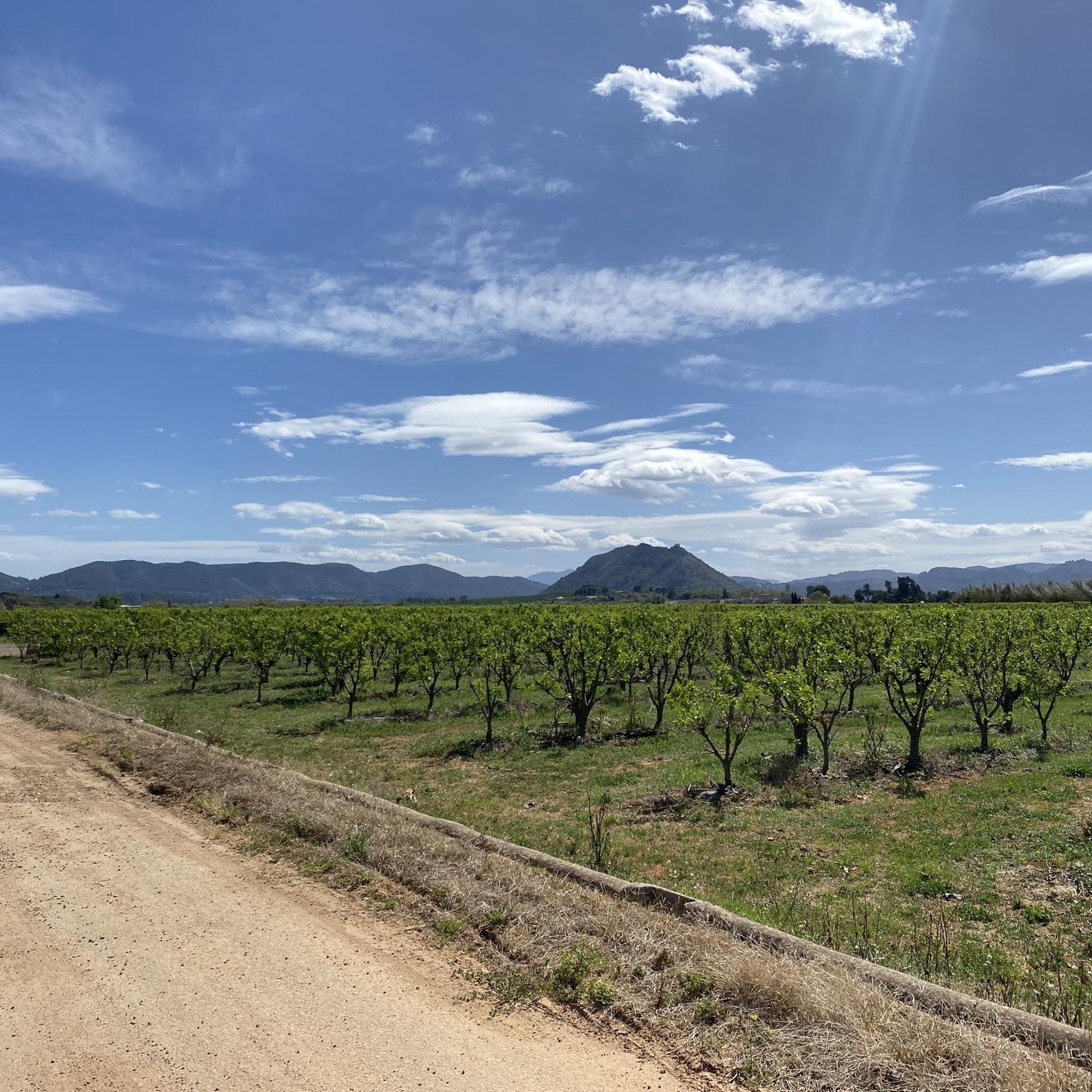
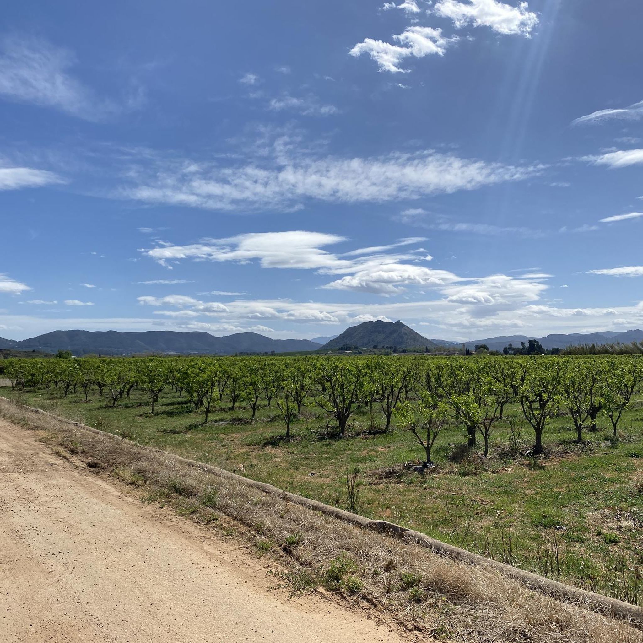
Road cycling around Manuel offers a diverse range of landscapes. You'll encounter agricultural plains, rolling hills, and routes that provide views towards coastal areas or serene reservoirs. The region's natural, forested environment enhances the outdoor cycling experience, especially within areas like Manuel F. Correllus State Forest.
What are some notable attractions or landmarks I can visit along road cycling routes in Manuel?
While cycling around Manuel, you can explore several interesting attractions. Consider visiting historical sites like Castell de Xàtiva or the Collegiate Basilica of Santa María (La Seu), Xàtiva. For natural wonders, the Cova Negra cave is a unique stop, or you might enjoy the Views of the Assut d’Antella.
Is there public transport access to road cycling routes in Manuel?
While specific public transport connections directly to all route starting points may vary, many routes begin or pass through towns like La Pobla Llarga, L'Ènova, or Castelló, which often have local bus or train services. It's advisable to check local transport schedules for the most convenient access to your chosen starting point.
Where can I find parking for road cycling trails near Manuel?
Parking is generally available in the towns and villages where many of the road cycling routes begin, such as La Pobla Llarga, L'Ènova, or Castelló. Look for public parking areas within these communities, often near town centers or local amenities, to safely leave your vehicle while you ride.
What is the best time of year for road biking in Manuel?
The region around Manuel offers good road cycling conditions for much of the year. Spring and autumn generally provide the most pleasant temperatures for longer rides. While specific weather conditions can vary, the mild climate often allows for cycling outside of peak summer heat or potential winter chill.
What do other road cyclists enjoy the most about road cycling in Manuel?
The road cycling routes in Manuel are highly rated by the komoot community, with an average score of 4.4 stars from over 50 reviews. Cyclists often praise the varied terrain, from challenging climbs to scenic reservoir loops, and the opportunity to explore both agricultural plains and forested environments. The network offers options for different ability levels, making it a popular choice for many.
Are there any routes that combine agricultural plains with coastal features?
Yes, some routes in Manuel offer a unique blend of agricultural plains and views towards coastal areas. The Ateneo Sueco del Socorro – Cullera Lighthouse loop from Castelló is a prime example, a 64.4-mile (103.7 km) trail that leads through agricultural landscapes and towards the coast, often completed in about 4 hours 11 minutes.
Most popular attractions around Manuel

Get inspired with the komoot mobile app


Explore more
Browse the best Road cycling routes in other regions.
