The best walks and hikes around Tardajos
4.3
(207)
1,472
hikers
78
hikes
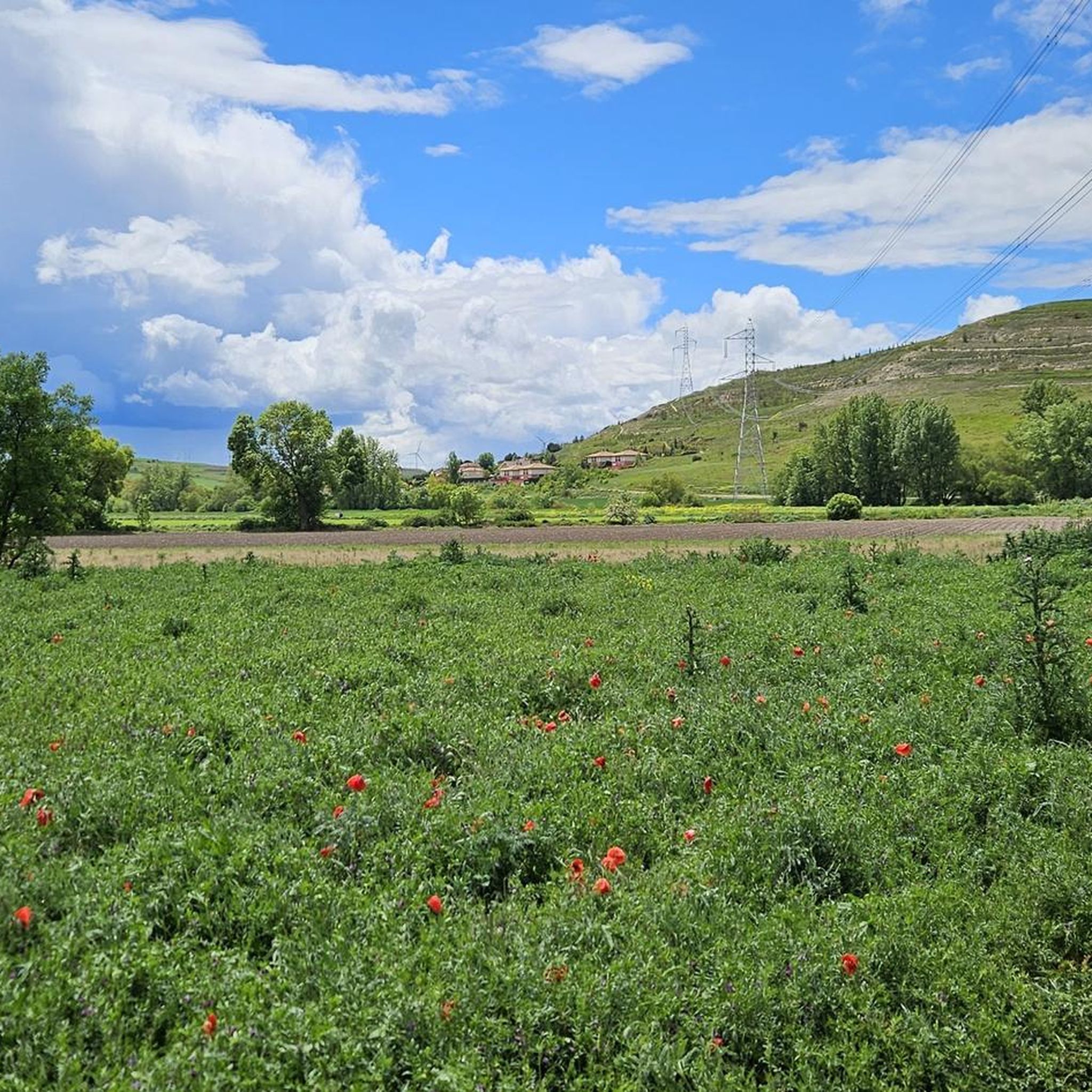
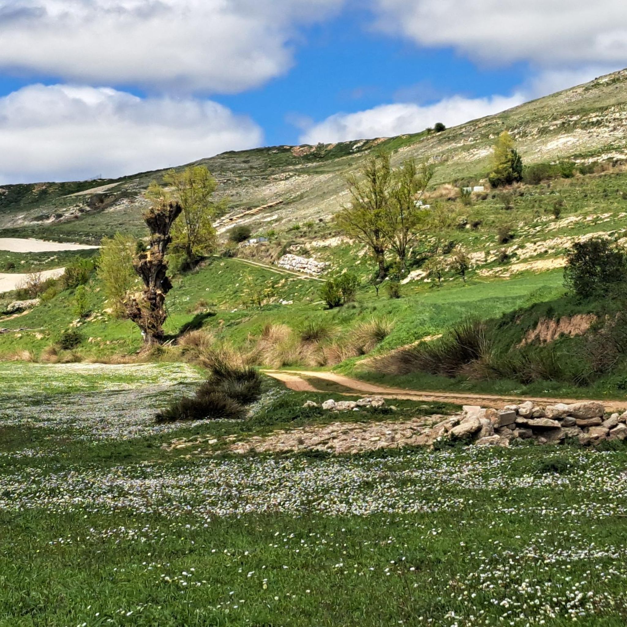
Hiking around Tardajos offers diverse experiences across the Castilian plains, characterized by the confluence of the Arlanzón and Urbel rivers. The landscape features agricultural fields and ancient Roman roads, providing a mix of terrain from gentle river walks to routes with notable elevation gains. This region is an integral part of the French Way of the Camino de Santiago, allowing hikers to explore historical paths and natural scenery.
Best hiking trails around Tardajos
- The most popular hiking route is From…
Last updated: June 30, 2026
4.0
(1)
2
hikers
Moderate hike. Good fitness required. Mostly accessible paths. Sure-footedness required.
4.5
(11)
43
hikers
18.4km
04:56
220m
220m
Moderate hike. Good fitness required. Easily-accessible paths. Suitable for all skill levels.

Sign up for free
5.0
(1)
33
hikers
Easy hike. Great for any fitness level. Easily-accessible paths. Suitable for all skill levels.
16
hikers
Moderate hike. Good fitness required. Easily-accessible paths. Suitable for all skill levels.
15
hikers
Easy hike. Great for any fitness level. Easily-accessible paths. Suitable for all skill levels.
Get access to more routes and recommendations from other explorers.
Sign up for free
Already have an account?
Our route recommendations are based on thousands of hikes, rides, and runs completed by other people on komoot.
Start today with a free account
Your next adventure awaits.
Login or Signup
Tips from the Community

The chapel is very beautiful, the sisters unfortunately partly intrusive. You are touched without asking. A Catholic nun should actually know that only a priest has the authority to bless by laying on hands (except one's own parents) and even if she doesn't know that, there's still the normal human decency of asking strangers if they want to be touched.
0
0

The Malatos Bridge is a historic bridge located in Burgos, spanning the Arlanzón River. Its origins date back to the 12th century, with documented references from 1165, although some authors place its construction in 1198. It was built by order of Alfonso VIII to facilitate access to the Monastery of Las Huelgas and the Hospital del Rey. The name "Malatos" comes from the nearby Hospital of San Lázaro de los Malatos, dedicated to the care of lepers.
12
0

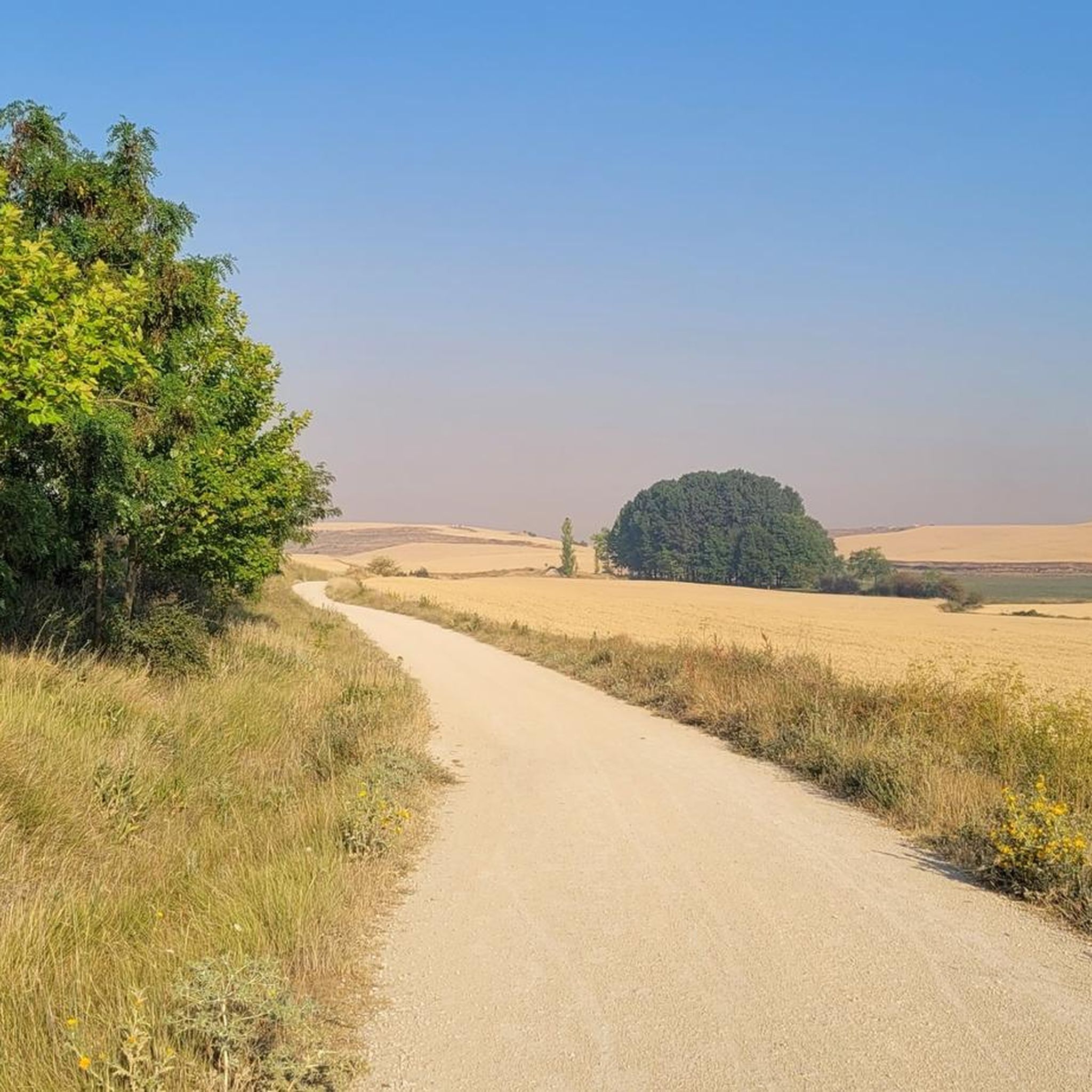
A view of infinity! Rolling hills, I feel like I'm walking through a beautiful landscape.
0
0
It represents the faces of Albert Einstein, Nelson Mandela, and Mahatma Gandhi, three universal figures of peace, science, and human rights. It is accompanied by the yellow arrow, the symbol of the Camino de Santiago, making it a visual reference point for walkers. It is located at the edge of the town, heading toward Hornillos del Camino, on a wall visible from the official Camino route.
1
0
The mural of Einstein, Mandela, and Gandhi in Rabé de las Calzadas (Burgos) is a well-known work among pilgrims on the French Way of St. James, especially for its symbolic location.
1
0
Hornillos del Camino, in the province of Burgos, is an emblematic town on the French Way of St. James, with an urban structure that reflects its Jacobean vocation: a single street, Calle Real, runs through the town from east to west.
1
0
The Malatos Bridge is a historic bridge located in Burgos, over the Arlanzón River. Its origins date back to the 12th century, with documented references as early as 1165, although some authors date it back to 1198. It was built by order of Alfonso VIII to facilitate access to the Monastery of Las Huelgas and the King's Hospital. The name "Malatos" comes from the nearby hospital of San Lázaro de los Malatos, dedicated to the care of lepers.
10
0
If you have the opportunity to explore this trail, you'll enjoy the natural beauty and ecological richness of the area. Enjoy your hike! 🌿🚶♀️
2
0
Frequently Asked Questions
How many hiking trails are available around Tardajos?
There are over 80 hiking routes around Tardajos, offering a wide range of experiences. These include 37 easy trails, 40 moderate routes, and 5 more challenging options, catering to various fitness levels.
What is the typical terrain like for hiking near Tardajos?
The terrain around Tardajos is primarily characterized by the Castilian plains, featuring agricultural fields and ancient Roman roads. You'll find pleasant river walks along the Arlanzón and Urbel rivers, as well as sections of the historic Camino de Santiago. The landscape offers a mix of gentle paths and routes with notable elevation gains.
Are there easy hiking options suitable for beginners in Tardajos?
Yes, Tardajos offers 37 easy hiking routes perfect for beginners or those looking for a relaxed walk. An example is the Arch of Santa María – Plaza Mayor of Burgos loop from Cathedral of Santa Maria, which is 6.2 km long with minimal elevation change, ideal for a gentle exploration.
Can I find circular hiking routes around Tardajos?
Yes, there are several circular routes available. A popular option is From Rabé de la Calzada along the Camino de Santiago — circular from Tardajos, which is a moderate 18.1 km trail that allows you to experience a section of the Camino and return to your starting point.
What historical or cultural landmarks can I see while hiking near Tardajos?
Hiking near Tardajos often integrates with its rich history. You can encounter Roman-era sites and the 13th-century Gothic Church of Our Lady of the Assumption in Tardajos itself. Many routes, like the Burgos Cathedral – Arch of Santa María loop from San Pedro de la Fuente, lead to significant landmarks such as the Burgos Cathedral and the Arch of Santa María. You might also spot the Statue of the Seated Pilgrim along the Camino de Santiago.
Are there any family-friendly hiking trails in the area?
Many of the 37 easy trails around Tardajos are suitable for families. These routes typically have minimal elevation and cover shorter distances, making them enjoyable for all ages. River walks along the Arlanzón and Urbel rivers are particularly pleasant for family outings.
Is Tardajos a good destination for dog-friendly hikes?
Yes, the open landscapes and varied trails around Tardajos are generally dog-friendly. The Castilian plains and river paths offer plenty of space for dogs to enjoy. Always ensure your dog is under control and check local regulations for specific areas, especially near agricultural land.
What do other hikers enjoy most about the trails around Tardajos?
The trails around Tardajos are highly rated by the komoot community, with an average score of 4.3 stars from over 170 reviews. Hikers frequently praise the blend of cultural exploration along the Camino de Santiago, the peaceful river walks, and the diverse scenery of the Castilian plains.
What are some longer or more challenging hikes available?
For those seeking a greater challenge, there are 5 difficult routes around Tardajos. An example is the Matamulos Cross – View of Hornillos del Camino loop from Hornillos del Camino, which is a demanding 19.5 km trail with significant elevation changes, offering a rewarding experience for experienced hikers.
Is public transport or parking available for accessing trailheads?
While specific public transport options directly to all trailheads may vary, Tardajos is well-connected as a stop on the Camino de Santiago. Parking is generally available within the village and at various points along the main routes, especially for those accessing the Camino. It's advisable to check local parking availability for specific starting points.
What is the best time of year to go hiking in Tardajos?
The best time to hike in Tardajos is typically during the spring and autumn months when the weather is mild and pleasant. Summers can be hot on the Castilian plains, while winters can be cold. Spring brings blooming landscapes, and autumn offers comfortable temperatures and beautiful colors.
Are there any river walks or routes along waterways?
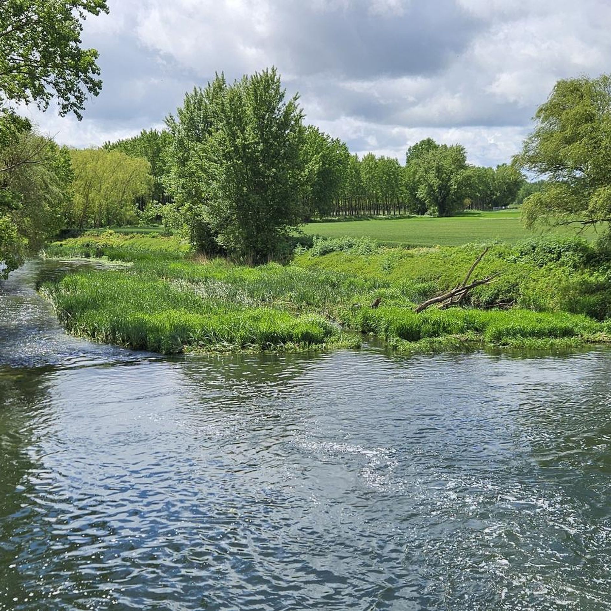
Yes, Tardajos is situated at the confluence of the Arlanzón and Urbel rivers, providing excellent opportunities for river walks. Many routes incorporate sections along these waterways, offering serene paths and a different perspective of the landscape.
What kind of elevation changes can I expect on hikes around Tardajos?
Elevation changes vary significantly. While some routes, particularly those closer to the rivers or within urban areas like the Burgos Cathedral – Arch of Santa María loop, have minimal elevation, others, such as the View of Hornillos del Camino – Hornillos del Camino loop, feature more notable ascents and descents, reaching over 200 meters of elevation gain.
Can I combine hiking with exploring nearby towns or cities?
Absolutely. Tardajos's proximity to Burgos, a major city, allows for easy combination of hiking with urban exploration. Routes like the Burgos Cathedral – Arch of Santa María loop directly lead through historical city centers, letting you experience both natural paths and cultural sites like the Burgos Cathedral.
Most popular attractions around Tardajos

Get inspired with the komoot mobile app


Explore more
Browse the best Hikes in other regions.
