The best road cycling routes around Arroba De Los Montes
34
riders
4
rides
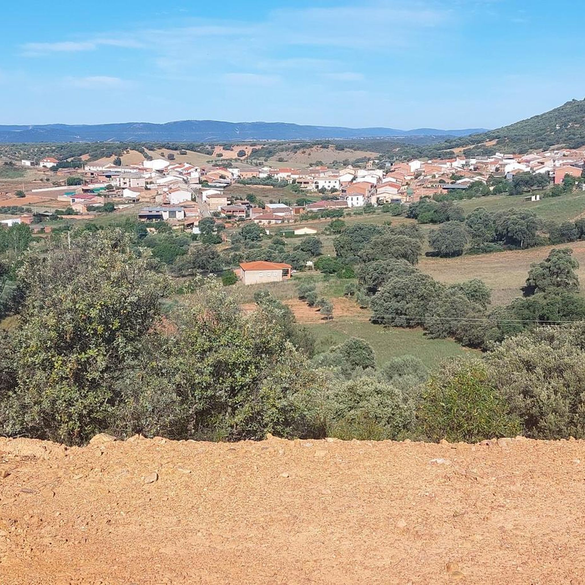
Road cycling routes around Arroba De Los Montes traverse a landscape characterized by rolling hills, river valleys, and areas bordering natural parks. The region features a mix of open countryside and more wooded sections, offering varied terrain for road cyclists. Routes often follow quiet roads connecting small towns, with some paths skirting larger bodies of water like reservoirs. The elevation changes provide both challenging climbs and scenic descents.
Best road cycling routes around Arroba De Los Montes
- The most popular…
Last updated: July 15, 2026
24
riders
107km
05:22
1,130m
1,130m
This difficult 66.7-mile road cycling route from Puebla de Don Rodrigo explores Piedrabuena and the scenic Tabla de la Yedra.
1
riders
Hard road ride. Very good fitness required. Mostly well-paved surfaces and easy to ride.

Sign up for free
3
riders
88.2km
04:24
860m
870m
Moderate road ride. Good fitness required. Mostly well-paved surfaces and easy to ride.
5
riders
71.1km
03:44
1,320m
1,320m
Hard road ride. Very good fitness required. Mostly well-paved surfaces and easy to ride.
1
riders
Moderate road ride. Good fitness required. Mostly well-paved surfaces and easy to ride.
Our route recommendations are based on thousands of hikes, rides, and runs completed by other people on komoot.
Start today with a free account
Your next adventure awaits.
Login or Signup
Popular around Arroba De Los Montes
Tips from the Community

What to see Church of Our Lady of Consolation (16th century): Built of masonry with brick reinforcements. Interior with a single nave, wooden choir stall, and a crossbar vault. Main altar with an oil painting of the Pietà from the Toledo School (17th century). [bing.com], [ayeryhoynews.com] Ethnographic Museum (270 m): traditional utensils and tools. Town Hall and Plaza de España (a few meters away).
4
0
The Church Square in Alcoba de los Montes is the heart of the town and a historical and cultural landmark. It is located next to the Church of Our Lady of Consolation, right in the town center.
10
0
Alcoba is located next to the Cabañeros National Park, it is one of the most valuable protected corners of the Montes de Toledo, a refuge for large birds of prey, black storks, eagles, vultures and many other endangered species. Its landscape is made up of extensive pastures or meadows with rich seasonal pastures, the mountains and massifs provide shelter to a wide variety of birds and mammals. Its magnificent natural environment invites you to carry out all types of activities related to nature. The most significant element of its urban center is the Church of Our Lady of Consolation from the 17th century.
12
0
There are excellent views from Camping El Mirador de Cabañeros and a good place to rest and eat.
7
0
Municipality located in the valley of the Tierteafuera river. In the middle of the Guadiana basin, framed and partially divided by the Grande and Chico streams, two kilometers from the course of the Guadiana River. There is evidence of habitation in this area since pre-Roman times, as demonstrated by the presence of several castles, such as the Castle or Castilnegro, and even a motilla found in the 1970s and located at the exit of the town. .
4
0
In the western part of the province and the historic Campo de Calatrava, between the Canalizos and San Antón mountain ranges and the Guadiana valley, with very rugged relief and evocative landscapes, is the pleasant town of Luciana. It houses the mouths of two tributaries of the Guadiana River: the Bullaque in the northeast, very close to the town, and the Tirteafuera in the southwest, in Tablacaldera. Water, always very present, gives uniqueness and beauty to the environment.
9
0
In a municipality located in the Tierteafuera River valley. In the heart of the Guadiana basin, framed and partially divided by the Grande and Chico streams, two kilometers from the Guadiana River. There is evidence of habitation in this area since pre-Roman times, as evidenced by the presence of several castles, such as Castillo and Castilnegro, and even a mound discovered in the 1970s and located at the edge of town.
8
0

Luciana is located in a natural basin valley at the confluence of the Bullaque and Guadiana rivers. There is a very beautiful natural park. You can swim and cool off on your adventure.
2
0
Frequently Asked Questions
How many road cycling routes are available around Arroba De Los Montes?
There are 5 road cycling routes in the Arroba De Los Montes area, offering a range of distances and elevation profiles for different skill levels.
Are there road cycling routes suitable for beginners in Arroba De Los Montes?
The routes around Arroba De Los Montes are generally moderate to difficult, with no easy routes specifically listed. However, some of the moderate routes, such as Fontanarejo from Horcajo de los Montes, might be manageable for fit beginners looking for a challenge.
What kind of challenges can advanced road cyclists expect in Arroba De Los Montes?
Advanced road cyclists will find two difficult routes, including the demanding Villarta de los Montes from Puebla de Don Rodrigo, which covers over 130 km and features more than 2200 meters of elevation gain. These routes offer significant climbs and varied terrain.
Are there any long-distance road cycling routes in Arroba De Los Montes?
Yes, for those seeking longer rides, the Villarta de los Montes from Puebla de Don Rodrigo route is over 130 km long, and Cabañeros National Park Loop via Horcajo de los Montes is over 110 km, offering extensive cycling experiences.
What is the average duration for road cycling routes in this region?
The average duration for road cycling routes in Arroba De Los Montes varies significantly based on distance and difficulty. For example, the moderate Puerto de Ríofrío – Puebla de Don Rodrigo loop typically takes around 4 hours 24 minutes, while longer, more difficult routes can take upwards of 6 to 7 hours.
Are there any loop road cycling trails around Arroba De Los Montes?
Yes, many of the routes are designed as loops, allowing you to start and finish in the same location. Examples include the Cabañeros National Park Loop via Horcajo de los Montes and the Puerto de Ríofrío – Puebla de Don Rodrigo loop from Puebla de Don Rodrigo.
What can I see along the road cycling routes in Arroba De Los Montes?
The routes often pass through charming settlements like Alcoba de los Montes and Puebla de Don Rodrigo. You might also encounter points of interest such as the Unique Astronomy and Planetarium Visitor Center or historical sites like the Ethnographic Museum.
What do other road cyclists enjoy the most about road cycling in Arroba De Los Montes?
The area is rated 2.0 stars by the komoot community. Cyclists often praise the varied terrain, which includes rolling hills and river valleys, and the quiet roads connecting small towns. The routes bordering natural park areas also offer scenic beauty.
What is the best time of year for road cycling in Arroba De Los Montes?
Given the region's climate, spring and autumn generally offer the most pleasant conditions for road cycling in Arroba De Los Montes, with milder temperatures and less extreme weather. Summers can be very hot, and winters may bring colder temperatures.
Are there any routes that pass by significant bodies of water?
Yes, some routes skirt larger bodies of water. For instance, the Villarta de los Montes from Puebla de Don Rodrigo route leads through the area around Embalse de Cijara, offering scenic views of the reservoir.
Where can I find parking for road cycling routes in Arroba De Los Montes?
While specific parking areas for each trailhead are not detailed, routes often start and end in or near towns like Puebla de Don Rodrigo or Horcajo de los Montes. It's advisable to check local parking options in these villages when planning your ride.
Are there any cafes or refreshment stops along the road cycling routes?
The routes connect small towns and villages, such as Alcoba de los Montes and Puebla de Don Rodrigo. These settlements typically offer opportunities for refreshment stops, including cafes or local shops, where you can refuel during your ride.
Most popular routes around Arroba De Los Montes
Most popular attractions around Arroba De Los Montes

Get inspired with the komoot mobile app


Explore more
Browse the best Road cycling routes in other regions.
