The best road cycling routes around Sorihuela Del Guadalimar
4.7
(6)
1,084
riders
48
rides
Road cycling around Sorihuela Del Guadalimar is situated within the Sierras de Cazorla, Segura y las Villas Natural Park, Spain's largest protected natural area. The region features a diverse terrain, including an orographic labyrinth of valleys, gorges, mountains, and flat lands. Cyclists encounter varied landscapes ranging from rolling olive groves and cereal fields to mountainous passes and the Guadalimar River. This area offers routes with significant elevation gains, appealing to riders seeking challenging climbs and descents.
Best road cycling routes…
Last updated: July 13, 2026
21
riders
83.4km
04:12
1,370m
1,370m
Hard road ride. Very good fitness required. Some segments of this route may be unpaved and difficult to ride.
17
riders
64.9km
03:58
1,620m
1,620m
Hard road ride. Very good fitness required. Mostly well-paved surfaces and easy to ride.

Sign up for free
18
riders
75.3km
04:19
1,710m
1,710m
Hard road ride. Very good fitness required. Mostly well-paved surfaces and easy to ride.
1
riders
59.8km
04:50
1,270m
1,270m
Hard road ride. Very good fitness required. Some segments of this route may be unpaved and difficult to ride.
418
riders
143km
07:10
2,150m
2,150m
Hard road ride. Very good fitness required. Mostly well-paved surfaces and easy to ride.
Get access to more routes and recommendations from other explorers.
Sign up for free
Already have an account?
Our route recommendations are based on thousands of hikes, rides, and runs completed by other people on komoot.
Start today with a free account
Your next adventure awaits.
Login or Signup

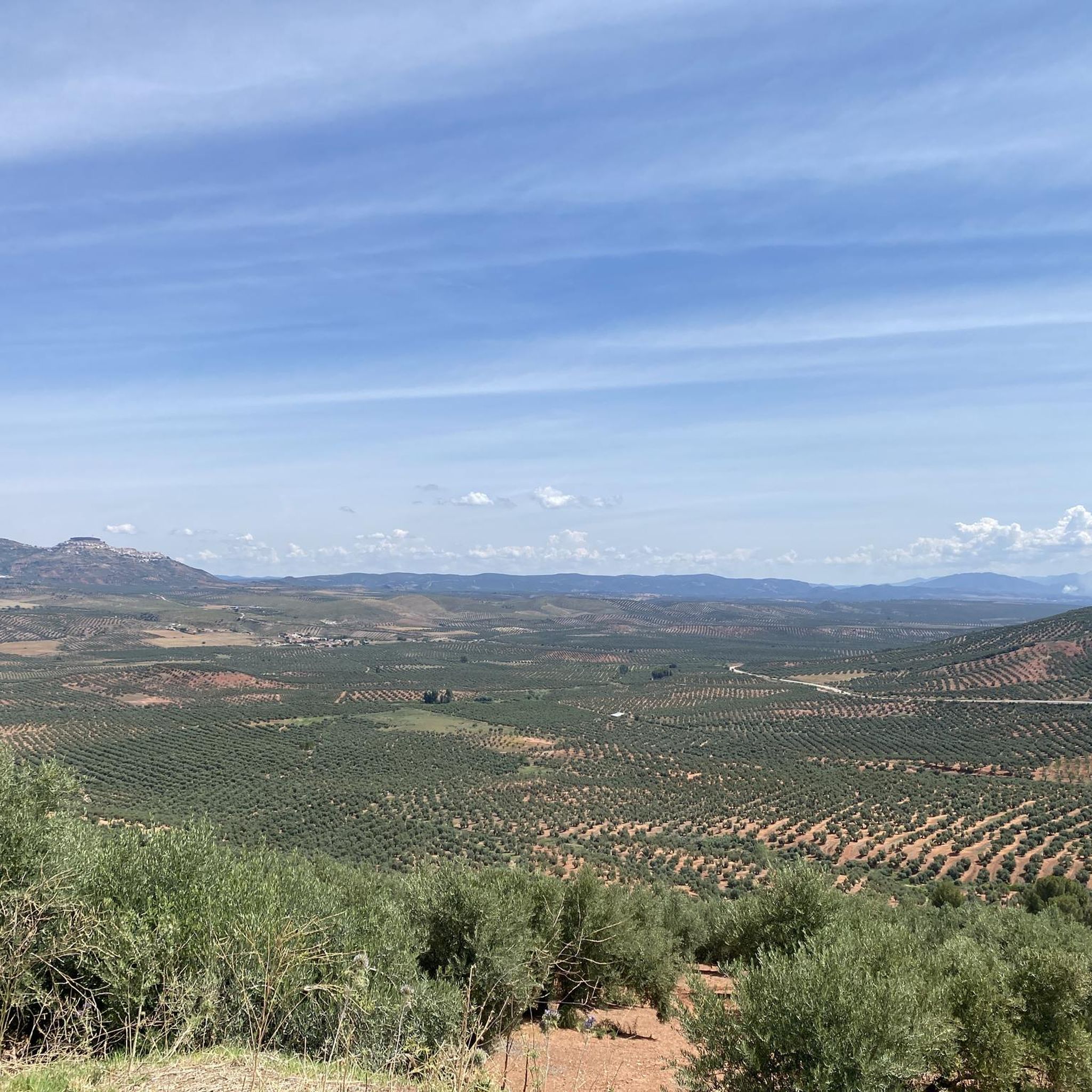
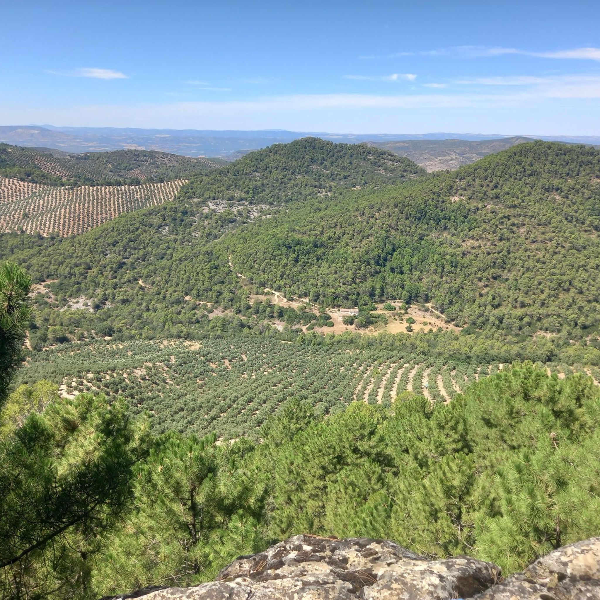
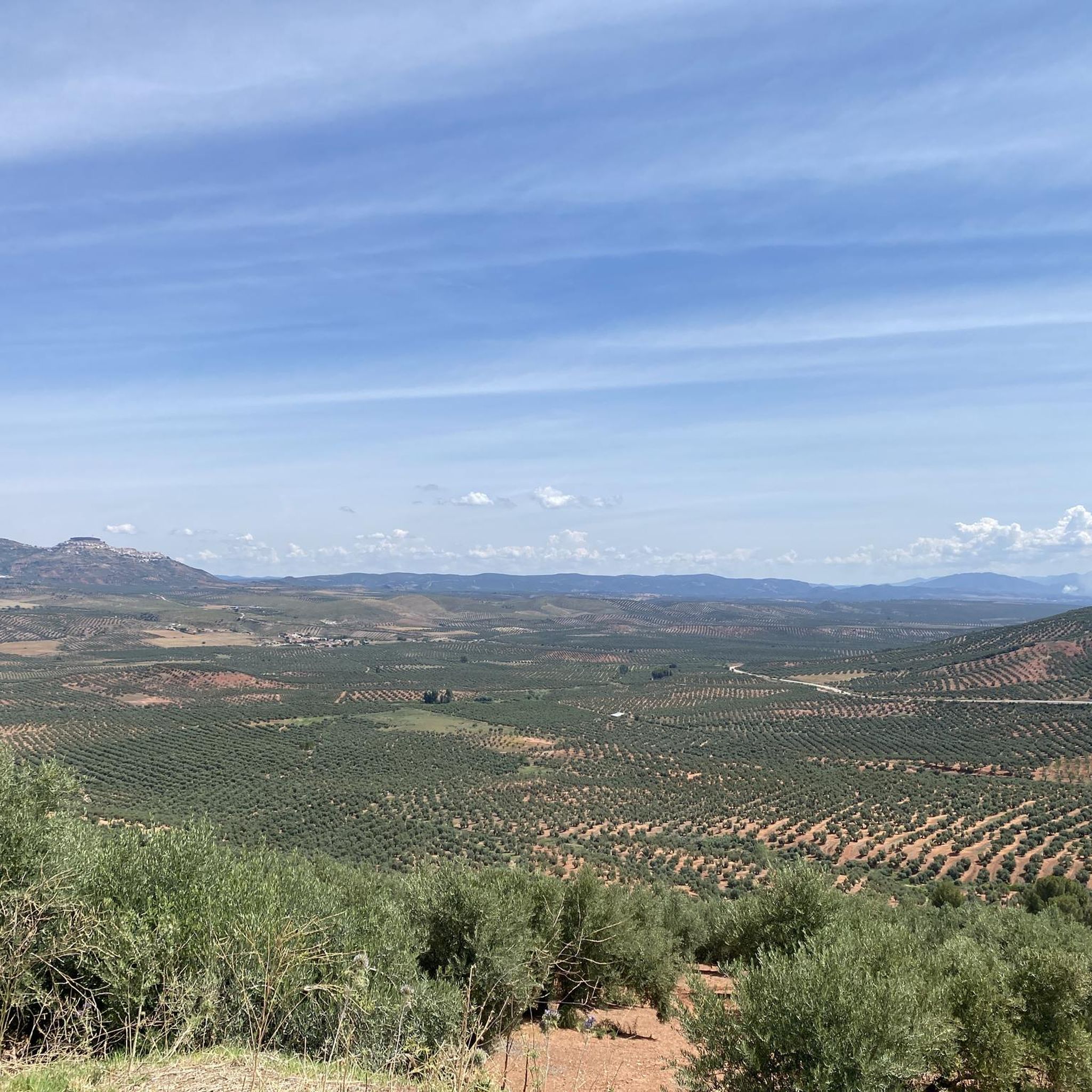
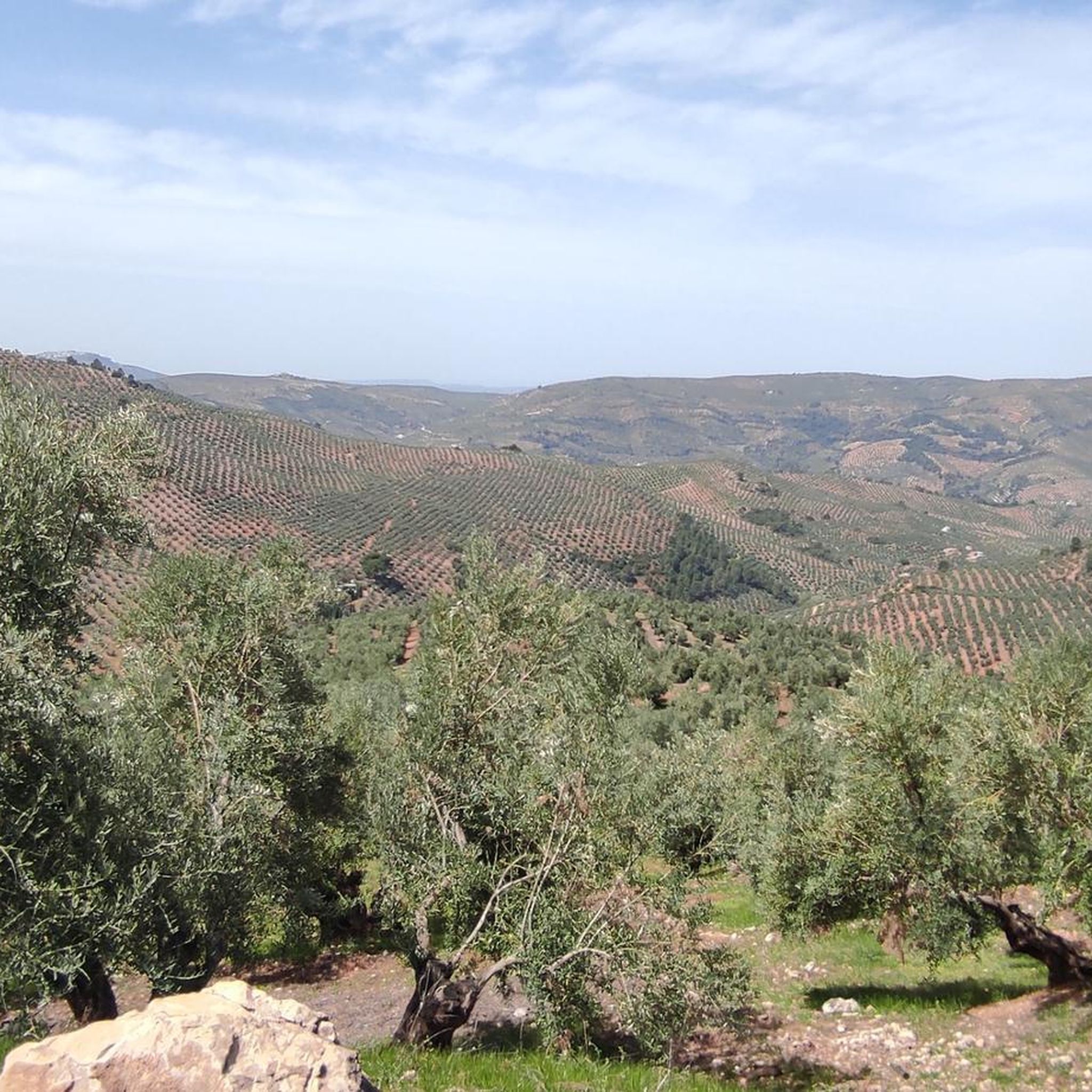
Other adventures around Sorihuela Del Guadalimar

Tips from the Community

From the highway, next to a building, a narrow road leads off, with many potholes at first. There's only one turnoff (left) a few kilometers later, to Robledo. The other takes you directly to the summit. At the end, the gradient increases. Once at the top, the views are impressive. From the guardhouse, you can see half the Sierra, and on the opposite side of the guardhouse, the other half.
0
0

This is the most characteristic point from which you can see the entire valley of the Guadalquivir River, and all the human settlements that currently exist such as Arroyo Frío, El Chaparral or Loma de María Ángela. It is located at an altitude of 1241 meters above sea level.
14
0

Incredible, beautiful, desolate climb. If climbing from El Robledo the road will be quite rough all the way. If climbing from Hornos the first approx 10km is a great surface but also becomes quite rough when turning off for the last section.
0
0

Beautiful and small town that is crossed by the same Río Guadalquivir at this step at the entrance to the province of Granada by one of its ends.
0
0
On one of the roads that go in the direction of Hornos from its southern side we find this viewpoint that lets us see the Tranco de Beas Reservoir and the set of mountains that surround it.
0
0
From this curve you can see a good panorama of the whole of the Embalse del Tranco and the whole of the Sierra de Cazorla that surrounds it.
0
0

The panoramic views that you get from this viewpoint to the surrounding mountains are very beautiful. It is an ideal place to take a break and savor the charming picture that you have in front of you.
0
0
It is practically the gateway to the park. From there you can see the entire Guadalquivir valley.
0
0
Frequently Asked Questions
How many road cycling routes are available around Sorihuela Del Guadalimar?
There are over 45 road cycling routes around Sorihuela Del Guadalimar, offering a wide range of options for different skill levels. The region is known for its diverse terrain within the Sierras de Cazorla, Segura y las Villas Natural Park.
What kind of terrain can I expect on road cycling routes in this region?
The terrain around Sorihuela Del Guadalimar is highly varied. You'll encounter everything from rolling olive groves and cereal fields to challenging mountainous passes within the Sierras de Cazorla, Segura y las Villas Natural Park. The region is characterized by an 'orographic labyrinth of valleys, calares, gorges, mountains and flat lands,' providing significant elevation gains on many routes.
Are there any easy road cycling routes for beginners or families?
While many routes in the region are challenging, there are some options suitable for beginners. The guide lists 1 easy route and 20 moderate routes. For a less strenuous experience, consider routes that stick to the flatter sections through the olive groves and along the Guadalimar River, though specific 'family-friendly' road cycling routes are less common due to the general elevation gains in the area.
What are some notable natural attractions I can see along the road cycling routes?
Many routes pass by beautiful natural features. You can visit the Charco del Aceite, a natural pool and recreational area, or cycle around the expansive Tranco Reservoir. The Huelguecillas Viewpoint also offers stunning panoramic views of the Natural Park.
Are there any historical landmarks or settlements to explore near the cycling routes?
Yes, the region is rich in history. The historic settlement of Hornos, with its 12th-14th century castle, is a popular destination. You might also encounter the ancient Torreón Árabe (Tower of Homage) dating back to 886 AD, offering a glimpse into the region's past.
What do other road cyclists say about the routes in Sorihuela Del Guadalimar?
The road cycling routes around Sorihuela Del Guadalimar are highly rated by the komoot community, with an average score of 4.7 stars from 6 reviews. Cyclists often praise the challenging climbs, quiet roads, and scenic views within the Sierras de Cazorla, Segura y las Villas Natural Park.
Are there any circular road cycling routes available?
Yes, several circular routes are popular in the area. For instance, the Embalse del Tranco de Beas and ascent to Mirador de Huelguecillas — circular from Hornos is a challenging 75 km loop. Another option is the Ascent to El Yelmo — circular route around the Tranco Reservoir, which covers about 65 km through mountainous terrain.
What is the best time of year for road cycling in Sorihuela Del Guadalimar?
Andalusia generally offers good cycling conditions for much of the year. Spring and autumn are typically ideal, with milder temperatures and lush landscapes. Summers can be very hot, especially in the middle of the day, making early morning or late afternoon rides preferable. Winters are generally mild but can bring cooler temperatures to higher elevations.
Are there any specific permits required for cycling within the Sierras de Cazorla, Segura y las Villas Natural Park?
Generally, no specific permits are required for road cycling on public roads within the Natural Park. However, if you plan to venture onto specific trails or protected areas off the main roads, it's always advisable to check with the park authorities for any specific regulations or access restrictions.
Where can I find amenities like cafes or accommodation in Sorihuela Del Guadalimar?
Sorihuela Del Guadalimar, being a village, offers basic amenities. You can find local cafes and pubs for refreshments. For accommodation, there are rural hotels and guesthouses in and around the village. Larger towns nearby may offer more extensive services, including bike shops.
Are there any particularly challenging routes for experienced road cyclists?
Absolutely. The region is known for its 'hard road rides' with significant elevation gains, appealing to experienced riders with very good fitness. Routes like the Tranco de Beas Reservoir Loop from Villanueva del Arzobispo, with over 1300 meters of climbing, or the Embalse del Tranco de Beas and ascent to Mirador de Huelguecillas — circular from Hornos, with over 1700 meters of ascent, offer substantial challenges.
Can I find parking for my car when starting a road cycling route?
Parking is generally available in Sorihuela Del Guadalimar village. Many routes also start from nearby towns or specific points within the Natural Park where parking facilities are provided, such as near the Tranco Reservoir or other recreational areas. It's advisable to check the starting point of your chosen route for specific parking information.
Most popular routes around Sorihuela Del Guadalimar
Most popular attractions around Sorihuela Del Guadalimar

Get inspired with the komoot mobile app


Explore more
Browse the best Road cycling routes in other regions.
