The best road cycling routes around Torreblascopedro
5.0
(10)
1,679
riders
68
rides
Road cycling routes around Torreblascopedro traverse a landscape dominated by vast olive groves, often referred to as the "sea of olives," which provide a distinctive backdrop for cyclists. The region is situated near the confluence of the Guadalimar and Guadalquivir rivers, contributing to varied terrain that includes fertile plains and rolling hills. Cyclists can explore the Guadalimar Greenway, a converted railway line offering smooth, traffic-free paths, or venture onto quiet, well-paved roads connecting historic towns. This diverse topography ensures a…
Last updated: July 11, 2026
29
riders
90.1km
04:08
920m
920m
Hard road ride. Very good fitness required. Mostly well-paved surfaces and easy to ride.
33
riders
Hard road ride. Very good fitness required. Some segments of this route may be unpaved and difficult to ride.

Sign up for free
22
riders
102km
04:55
1,400m
1,400m
Hard road ride. Very good fitness required. Some segments of this route may be unpaved and difficult to ride.
18
riders
76.8km
03:44
1,080m
1,080m
Hard road ride. Very good fitness required. Mostly well-paved surfaces and easy to ride.
18
riders
Hard road ride. Very good fitness required. Some segments of this route may be unpaved and difficult to ride.
Get access to more routes and recommendations from other explorers.
Sign up for free
Already have an account?
Our route recommendations are based on thousands of hikes, rides, and runs completed by other people on komoot.
Start today with a free account
Your next adventure awaits.
Login or Signup

Tips from the Community

Opposite the Jabalquinto Palace stands the Church of Santa Cruz, one of the few Romanesque churches in all of Andalusia. Built in the 13th century, after the conquest of the Upper Guadalquivir Valley by Ferdinand III, it preserves remnants of 15th and 16th-century frescoes.
1
0

The Linares Bullring, also known as the Coso de Santa Margarita, is one of the city's most iconic sites, both for its architecture and its bullfighting history. It was built in 1866 and inaugurated in 1867 with a bullfight featuring bulls from the Miura ranch.
4
0
The Pópulo square, also known as Plaza de los Leones (Lions' square), is one of the most emblematic and picturesque corners of Baeza. This square is part of the monumental Renaissance complex that led to the city being declared a UNESCO World Heritage Site in 2003.
6
0

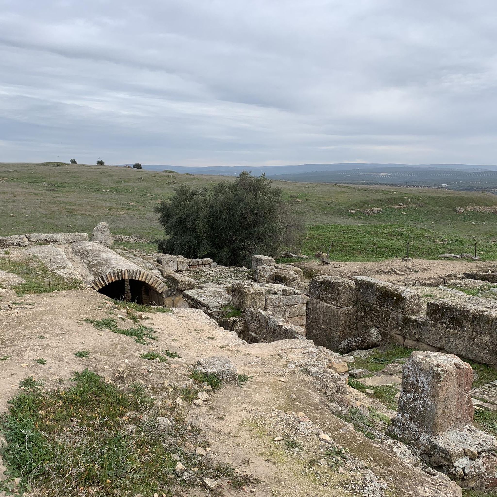
Burgalimar Castle, also known as Baños de la Encina Castle, is an impressive fortress located in the town of Baños de la Encina, in the province of Jaén, Andalusia. This castle was built in the 10th century during the Caliphate of Córdoba, under the rule of Caliph Al-Hakam II. The castle is famous for its Islamic military architecture and its excellent state of preservation. It is surrounded by a robust crenellated wall with fourteen towers, as well as a keep of Christian origin. Its strategic location at the entrance to the Guadalquivir Valley made it an important defensive bastion during the Muslim era. Today, Burgalimar Castle is a national monument and a prominent tourist attraction, offering visitors the opportunity to explore its rich history and enjoy panoramic views of the region.
3
0

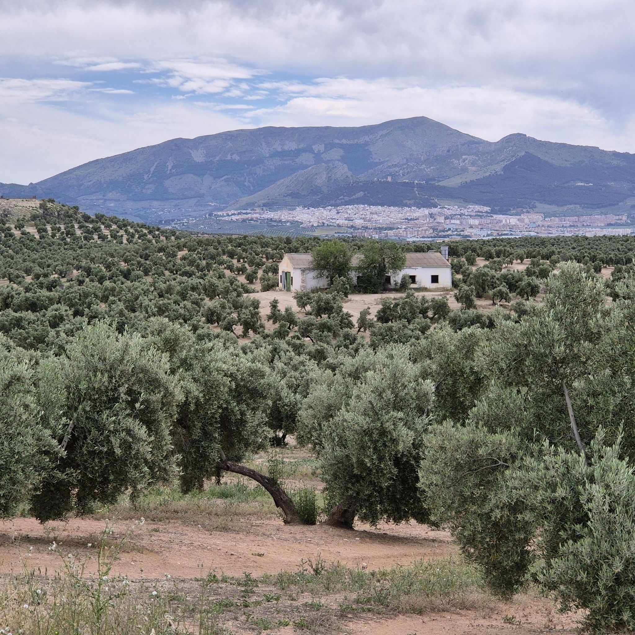
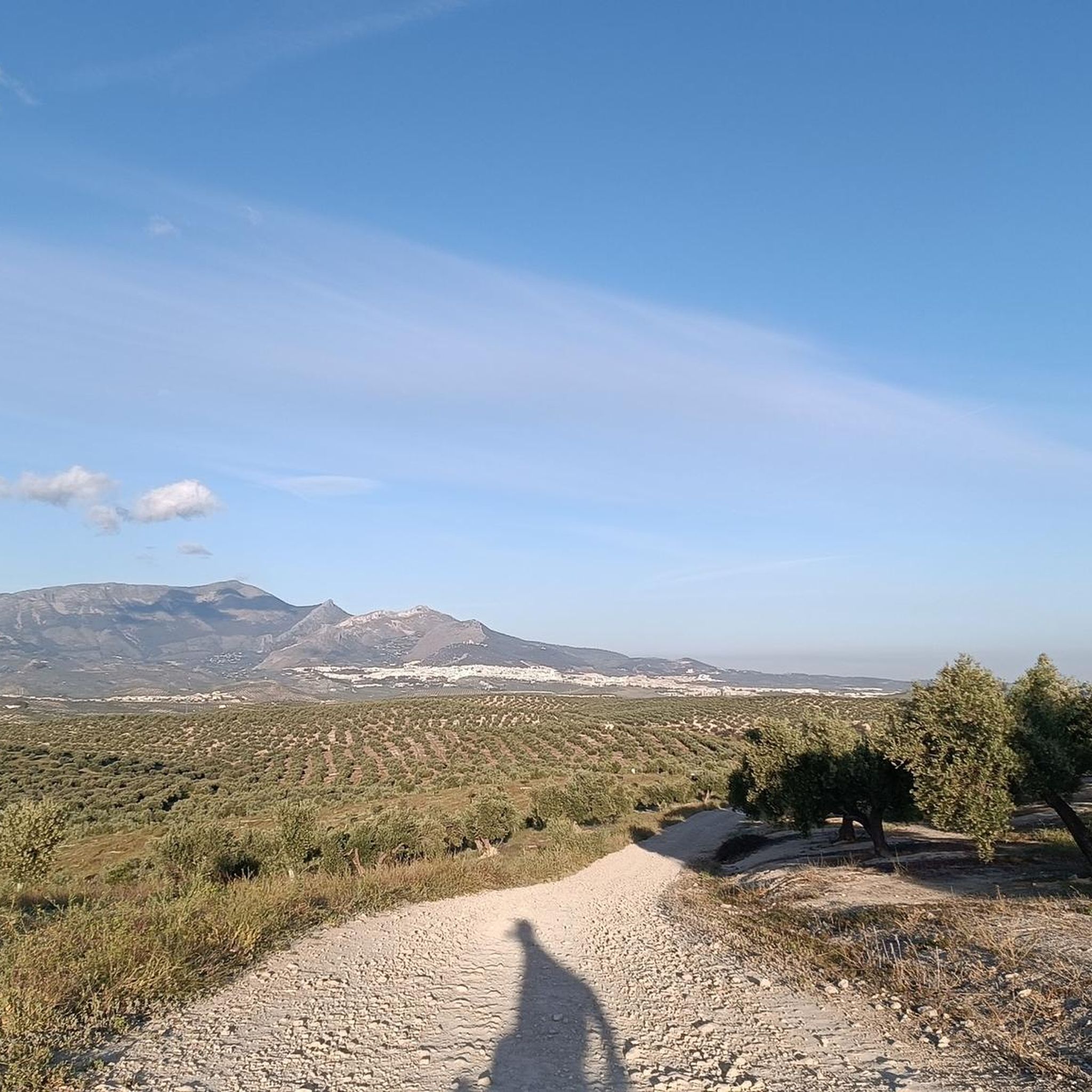
The Parque Natural de Sierra Mágina is a spectacular natural area in the province of Jaén, between Jaén and Granada. The park covers approximately 19,900 hectares, lies at an altitude of between 700 and 2,167 metres above sea level and is known for its rugged limestone mountains, deep gorges and picturesque valleys.
7
0
Jimena is a small town in the south of the province, on the northern side of the Sierra Mágina, located in a landscape of olive groves, fruit trees, allotments and sierra. The town is particularly known for its figs and brebas. The municipality is divided into two very different areas: there is the mountainous south-eastern area that is part of the Sierra Mágina Natural Park, and the rest of the municipality is agricultural land dedicated to olives.
8
0

Gateway to the town of Villargordo, which is located just over 20 kilometres from the capital and is part of the Villatorres Town Council, the result of the union between the municipalities of Villargordo, Torrequebradilla and Vados de Torralba back in 1975. This municipality, like those mentioned above, lives mainly from agriculture, closely dependent on olive groves and their derivatives. In recent years, pistachio crops have begun to be seen as a more profitable product and less fluctuating in price than olive oil.
17
0
Frequently Asked Questions
What kind of terrain can I expect on road cycling routes around Torreblascopedro?
The region offers a diverse cycling topography. You'll find vast, undulating olive groves, often referred to as the 'sea of olives,' providing a unique and picturesque backdrop. Routes also traverse fertile plains along the Guadalimar and Guadalquivir river valleys, and rolling hills that contribute to engaging cycling profiles. The Torre de Mengíbar – Cástulo Archaeological Site loop from Villargordo, for example, winds through these characteristic olive groves and past historical sites.
Are there any easy or family-friendly road cycling routes in Torreblascopedro?
Yes, Torreblascopedro is home to the Guadalimar Greenway (Vía Verde del Guadalimar), a 15.32 km converted railway line. This greenway offers a smooth, traffic-free, and accessible route suitable for various cycling levels, including families. It provides panoramic views of the Sierra Mágina and winds through olive groves and the gallery forest of the Guadalimar river.
How many road cycling routes are available in the Torreblascopedro area?
There are over 60 road cycling routes available around Torreblascopedro on komoot, catering to various skill levels. This includes 5 easy routes, 29 moderate routes, and 33 difficult routes, ensuring options for both leisure riders and those seeking more challenging climbs.
What are some notable landmarks or attractions I can see while road cycling in Torreblascopedro?
Road cycling routes often connect charming historic towns and offer views of significant landmarks. You might pass by sites such as the Sanctuary of the Virgin of Linarejos, the Doña Luci Gardens, or the Constitution Fountain. The region's rich cultural heritage is integrated into many cycling journeys.
What is the best time of year for road cycling in Torreblascopedro?
The region generally offers favorable conditions for road cycling. While specific weather data isn't provided, the Mediterranean climate of Andalusia suggests spring and autumn would be ideal, offering milder temperatures compared to the heat of summer, making for more comfortable rides through the olive groves and river valleys.
Are there any long-distance road cycling routes near Torreblascopedro?
Yes, the area features several long-distance routes. For example, the Plaza de Toros de Linares – Bailén Town Hall loop from Antigua estación de Las Madrigueras covers over 103 kilometers, offering an extensive ride through the varied landscape.
What do other road cyclists say about the routes in Torreblascopedro?
The road cycling routes in Torreblascopedro are highly rated by the komoot community, with an average score of 5.0 stars from 7 reviews. Over 1,400 road cyclists have used komoot to explore the area's varied terrain, often praising the unique experience of cycling through the vast olive groves and along quiet, well-paved roads.
Are there challenging road cycling routes for experienced riders?
Absolutely. The broader Jaén province, where Torreblascopedro is located, offers diverse topography ranging from gentle gradients to challenging mountain ascents in the Sierras. There are 33 routes classified as 'difficult' on komoot, such as the Castillo De Canena – Plaza del Pópulo, Baeza loop from Conjunto arqueológico de la ciudad ibero-romana de Cástulo, which features significant elevation changes over its 86-kilometer length.
Can I find circular road cycling routes around Torreblascopedro?
Many of the road cycling routes in the area are designed as loops, allowing you to start and end in the same location. An example is the Stone Arch Bridge – Plaza del Pópulo, Baeza loop from Villargordo, which is a 76.8 km circular trail.
Are there places to eat or stay along the road cycling routes?
While specific cafes or accommodations directly on every route are not detailed, the region's historic towns, which many routes connect, offer opportunities for local gastronomy. You can enjoy dishes like 'albóndigas de bacalao' (cod meatballs) and 'remojón' (orange, cod and olive salad) in towns like Torreblascopedro itself or other settlements along your ride.
What are the typical durations for road cycling routes in this area?
Route durations vary significantly based on distance and difficulty. For instance, the Torre de Mengíbar – Cástulo Archaeological Site loop from Villargordo, a 90.1 km difficult route, typically takes around 4 hours and 17 minutes. Longer routes, like the Jimena – Stone Arch Bridge loop from Antigua estación de Las Madrigueras (101.7 km), can take approximately 5 hours and 4 minutes.
Is public transport available for cyclists in Torreblascopedro?
While the region is well-suited for cycling, specific public transport options for cyclists (e.g., trains or buses allowing bikes) are not detailed in the provided information. It's advisable to check local transport services for their bike policies if you plan to combine cycling with public transport.
Most popular routes around Torreblascopedro
Most popular attractions around Torreblascopedro

Get inspired with the komoot mobile app


Explore more
Browse the best Road cycling routes in other regions.
