The best walks and hikes around Villafranca De Duero
4.6
(8)
70
hikers
6
hikes
Hiking around Villafranca De Duero offers exploration of a landscape shaped by the Duero River, which meanders through vineyards and agricultural fields. The region features riparian vegetation, including poplars and willows, along the riverbanks. Natural reserves, such as the Riberas de Castronuño-Vega del Duero Nature Reserve, provide diverse ecosystems with marshlands and riverside forests. The terrain generally includes fertile plains and gentle elevations, suitable for various hiking experiences.
Best hiking trails around Villafranca De Duero
- The most popular hiking route…
Last updated: July 12, 2026
5.0
(1)
25
hikers
4.90km
01:22
90m
90m
This easy 3.0-mile circular hike from Castronuño offers scenic views of the Duero River and ancient almond groves.
4.0
(2)
5
hikers
Moderate hike. Good fitness required. Easily-accessible paths. Suitable for all skill levels.

Sign up for free
5.0
(3)
26
hikers
11.3km
03:00
120m
120m
Moderate hike. Good fitness required. Easily-accessible paths. Suitable for all skill levels.
4.0
(1)
10
hikers
15.2km
04:04
170m
170m
Moderate hike. Good fitness required. Easily-accessible paths. Suitable for all skill levels.
5.0
(1)
4
hikers
7.19km
01:57
100m
100m
Easy hike. Great for any fitness level. Easily-accessible paths. Suitable for all skill levels.
Our route recommendations are based on thousands of hikes, rides, and runs completed by other people on komoot.
Start today with a free account
Your next adventure awaits.
Login or Signup
Popular around Villafranca De Duero
Tips from the Community

It was built between the late 12th and early 13th centuries by Commander Fernán (Hernán) Rodríguez de Valbuena, becoming a funerary chapel for the Order. For centuries, it served as a fortified church overlooking the Duero River, and was linked to the now-vanished castle and other medieval chapels in the town. It suffered several collapses in the 19th and 20th centuries, until the original ruins had practically disappeared; the current structure is the one dedicated to Santa María del Castillo (Saint Mary of the Castle).
4
0
Hermitage of Santa María del Castillo (also known as the Hermitage of Santo Cristo or the Church of the Order of Saint John) in Castronuño: Located on Alto de la Muela, on the banks of the Duero River in Castronuño (Valladolid). A medieval building originally linked to the Military and Hospitaller Order of Saint John of Jerusalem, which established a commandery here.
4
0

You can cross over the dam without any danger, it is a road with little traffic...
0
1
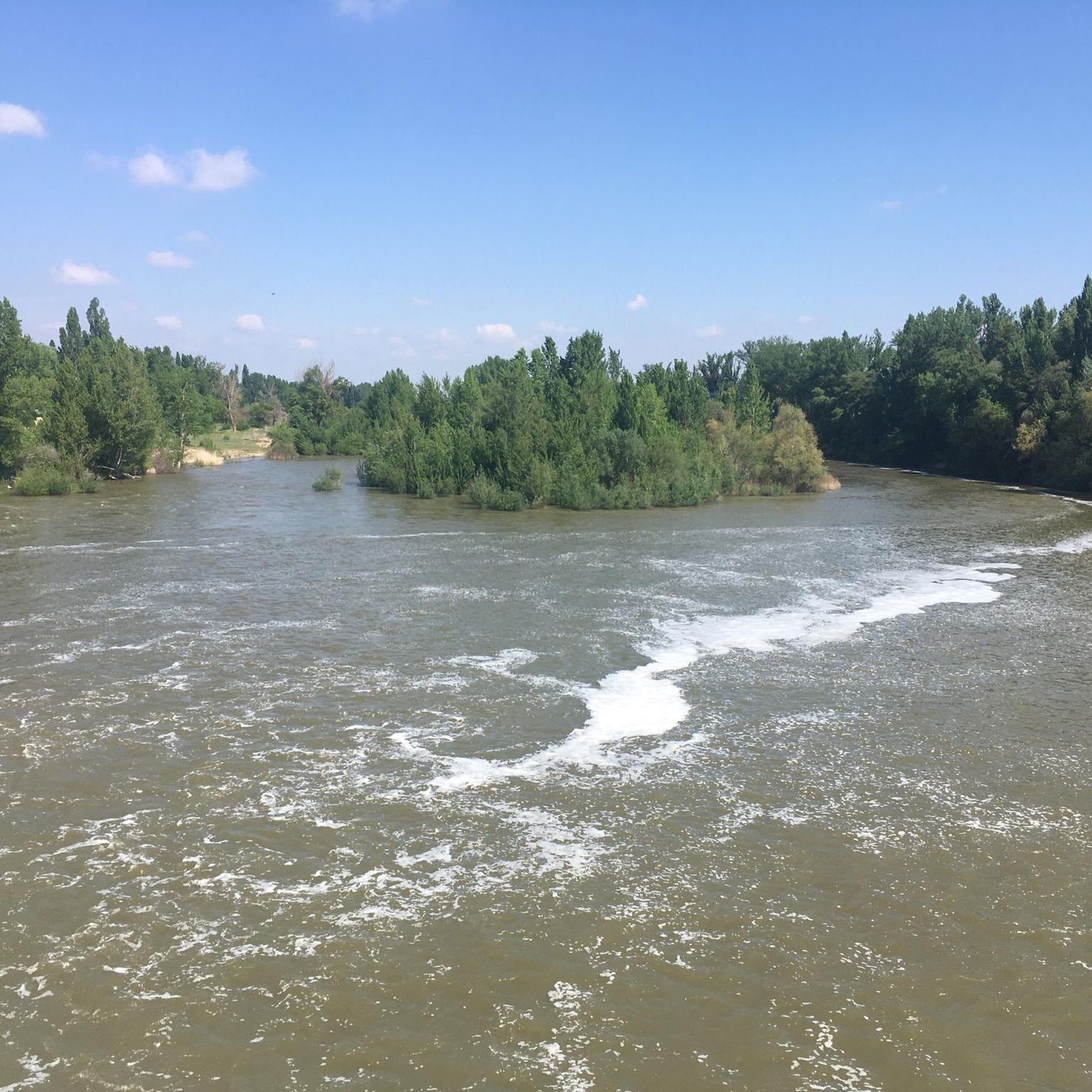
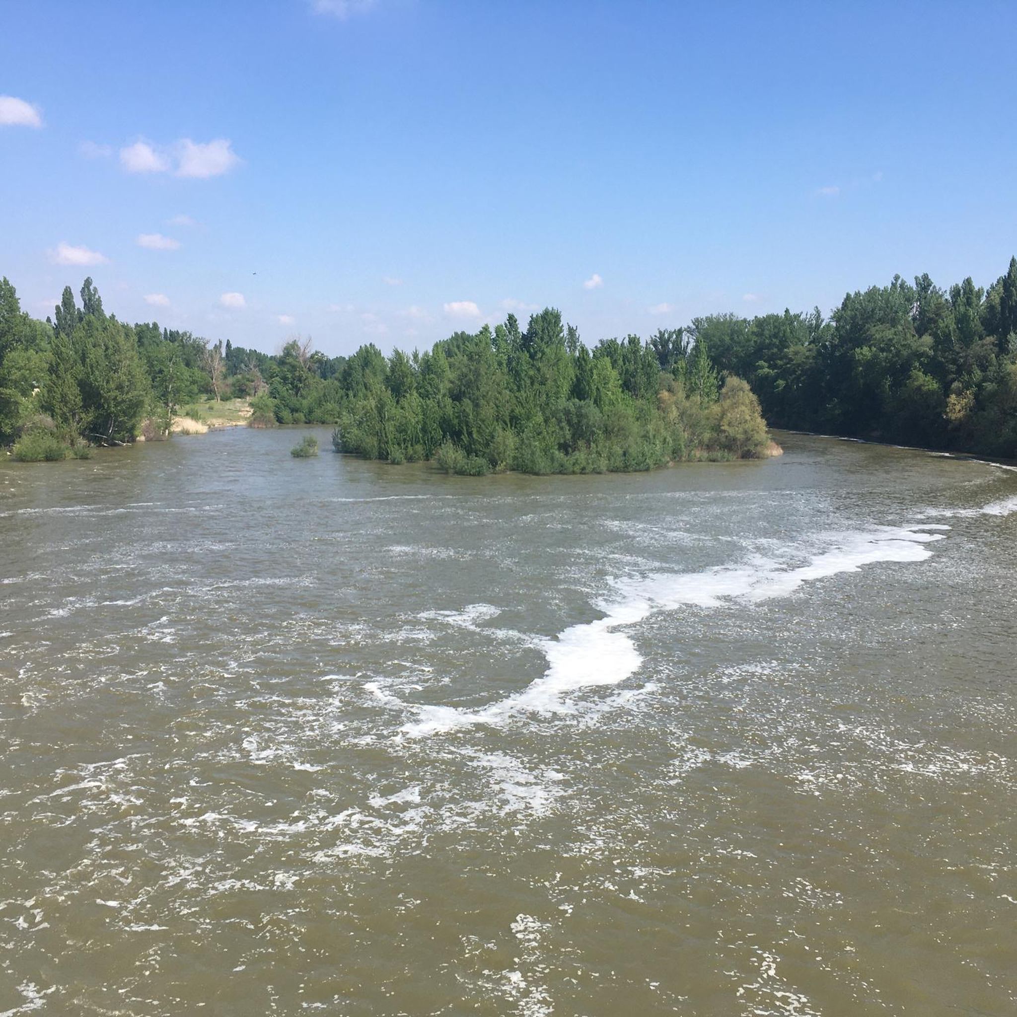
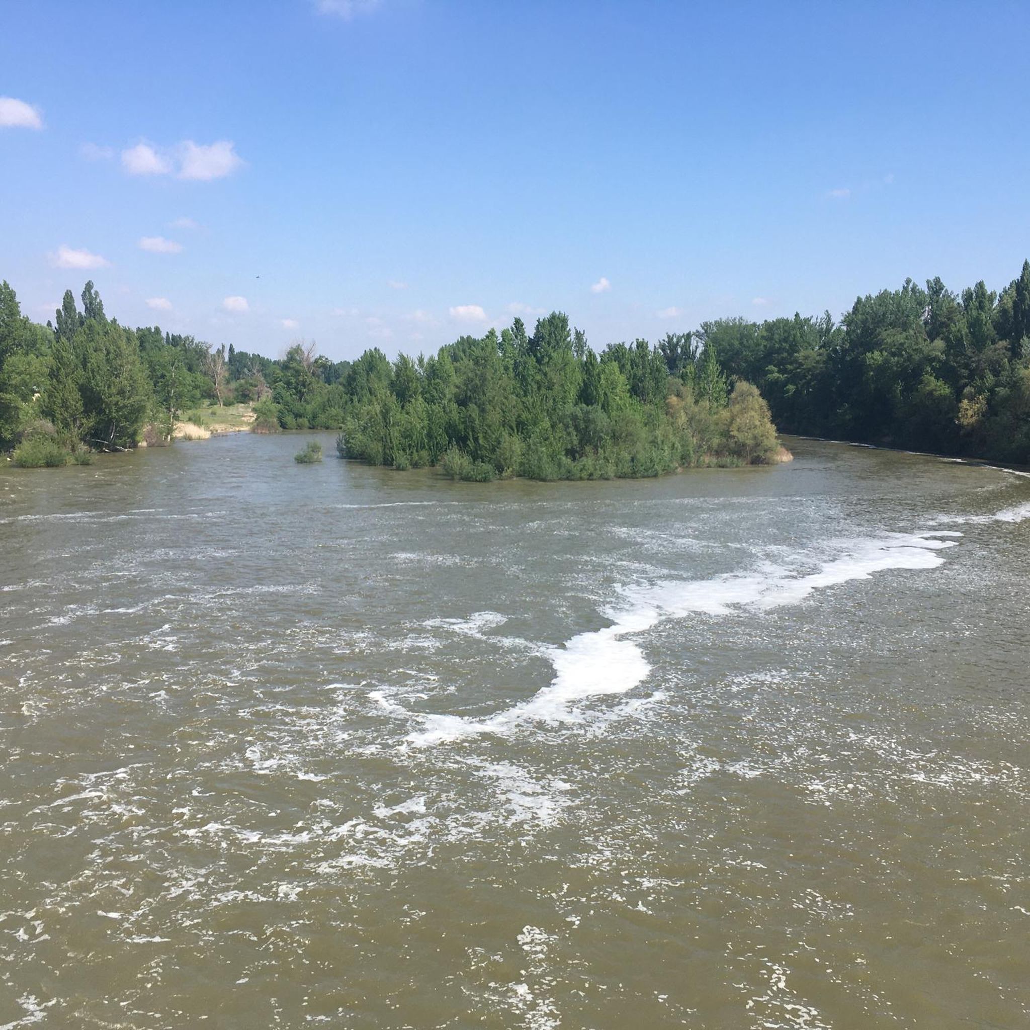
The San José Reservoir and Dam, also known as the Castronuño Dam, is a hydroelectric engineering project located in the middle course of the Duero River, about 2 km from the town of Castronuño. Built between 1941 and 1945, the dam is a gravity type and has a height of 14.05 metres.
6
0
The San José Reservoir and Dam, also known as the Castronuño Dam, is a hydroelectric engineering project located in the middle course of the Duero River, about 2 km from the town of Castronuño. Built between 1941 and 1945, the dam is a gravity type and has a height of 14.05 metres.
6
0
The natural viewpoint of La Muela Park in Castronuño is an impressive place that you cannot miss. From this privileged balcony, you can observe the great meander that the Duero River draws as it passes through Castronuño. This meander is one of the largest in Europe and is located in the heart of the Riberas de Castronuño natural reserve. The landscape is idyllic, and the river has been a silent witness to the passage of time and the history of this region. If you visit Castronuño, you should definitely explore this viewpoint and enjoy the panoramic views. Also, if you like hiking, there are interesting routes in the area. I hope you have a wonderful experience there! 😊
3
0

A nice little dam that allows you to get to the other side of the river. It also has very nice views of the landscape.
1
1
The main point of interest in Castronuño is the Hermitage of Santo Cristo. Here you will find the Hermitage and a great panoramic view of the river landscape.
0
0
Frequently Asked Questions
How many hiking trails are available around Villafranca de Duero?
There are 5 hiking trails around Villafranca de Duero. These routes range from easy to moderate difficulty, offering diverse experiences along the Duero River and its surrounding landscapes.
What kind of terrain can I expect on hikes in Villafranca de Duero?
The terrain around Villafranca de Duero is primarily shaped by the Duero River, featuring fertile plains, vineyards, and agricultural fields. You'll find riparian vegetation along the riverbanks, and some routes may include gentle elevations. The Riberas de Castronuño-Vega del Duero Nature Reserve offers marshlands and riverside forests.
Are there any easy hiking trails suitable for beginners or casual walkers?
Yes, there are two easy trails. The Almond Tree Trail is a 4.9 km route that takes about 1 hour 22 minutes, offering views of the local agricultural landscape. Another easy option is the San José Dam – Viewpoint loop from Castronuño, which is 6.6 km long and takes around 1 hour 47 minutes.
What are some notable natural features or landmarks to see while hiking?
Hikers can explore the meandering Duero River, which is central to the region's landscape. A significant natural feature is the View of the Duero River Meander from La Muela Park, near Castronuño, where you can witness one of Europe's largest river meanders. The San José Dam is also a prominent landmark, and you can even cross its top on some routes.
Are there any circular hiking routes in the area?
Yes, several routes offer circular paths. For example, the San José Dam loop from Castronuño is a moderate 9.9 km trail. Another option is the Viewpoint – San José Dam loop from Refugio de pescadores, a longer moderate route of 15.2 km.
What is the Riberas de Castronuño-Vega del Duero Nature Reserve and can I hike there?
The Riberas de Castronuño-Vega del Duero Nature Reserve is a protected natural area known for its diverse flora and fauna, especially aquatic birds. It features a marsh ecosystem around the San José reservoir and extensive riverside forests. You can hike through this reserve on routes like Villafranca de Duero on the banks of the Duero River — Castronuño Riverside Nature Reserve, which is a moderate 12.1 km path following the Duero River.
What do other hikers say about the trails in Villafranca de Duero?
The routes in Villafranca de Duero are highly rated by the komoot community, with an average score of 4.6 stars from more than 8 reviews. Hikers often appreciate the serene rural setting and the picturesque views along the Duero River.
Are there any longer, more challenging hikes for experienced walkers?
While there are no routes classified as 'difficult' in this immediate area, the longest moderate trail is the Viewpoint – San José Dam loop from Refugio de pescadores, covering 15.2 km and typically taking around 4 hours 4 minutes. This offers a more extended experience through the region's landscapes.
Can I combine hiking with cultural or historical exploration in the area?
Yes, the region has a rich history. While hiking, you'll encounter the ancient Duero River, which has shaped the area for centuries. Nearby, you can find historical sites like the Collegiate Church of Santa María la Mayor (Toro) or the Clock Tower of Toro, offering glimpses into the local heritage.
What is the best time of year to go hiking in Villafranca de Duero?
The region's climate, characterized by the Duero River and its agricultural surroundings, generally makes spring and autumn ideal for hiking. During these seasons, temperatures are milder, and the natural scenery, including vineyards and riparian vegetation, is particularly vibrant or offers beautiful autumnal colors.
Are the hiking trails in Villafranca de Duero suitable for families?
Yes, with two easy routes available, the area offers options suitable for families. The Almond Tree Trail, at 4.9 km, is a good choice for a shorter, more manageable walk with children, allowing them to enjoy the agricultural landscape.
Is there parking available near the trailheads?
While specific parking details for every trailhead are not provided, Villafranca de Duero is a rural town, and parking is generally available in or near the town center and at popular starting points for trails, such as those around Castronuño or the San José Dam. It's advisable to check local signage upon arrival.
Most popular attractions around Villafranca De Duero

Get inspired with the komoot mobile app


Explore more
Browse the best Hikes in other regions.
