The best walks and hikes around Comunidad de Barbadillo del Pez y Riocavado de la Sierra
5.0
(16)
235
hikers
19
hikes
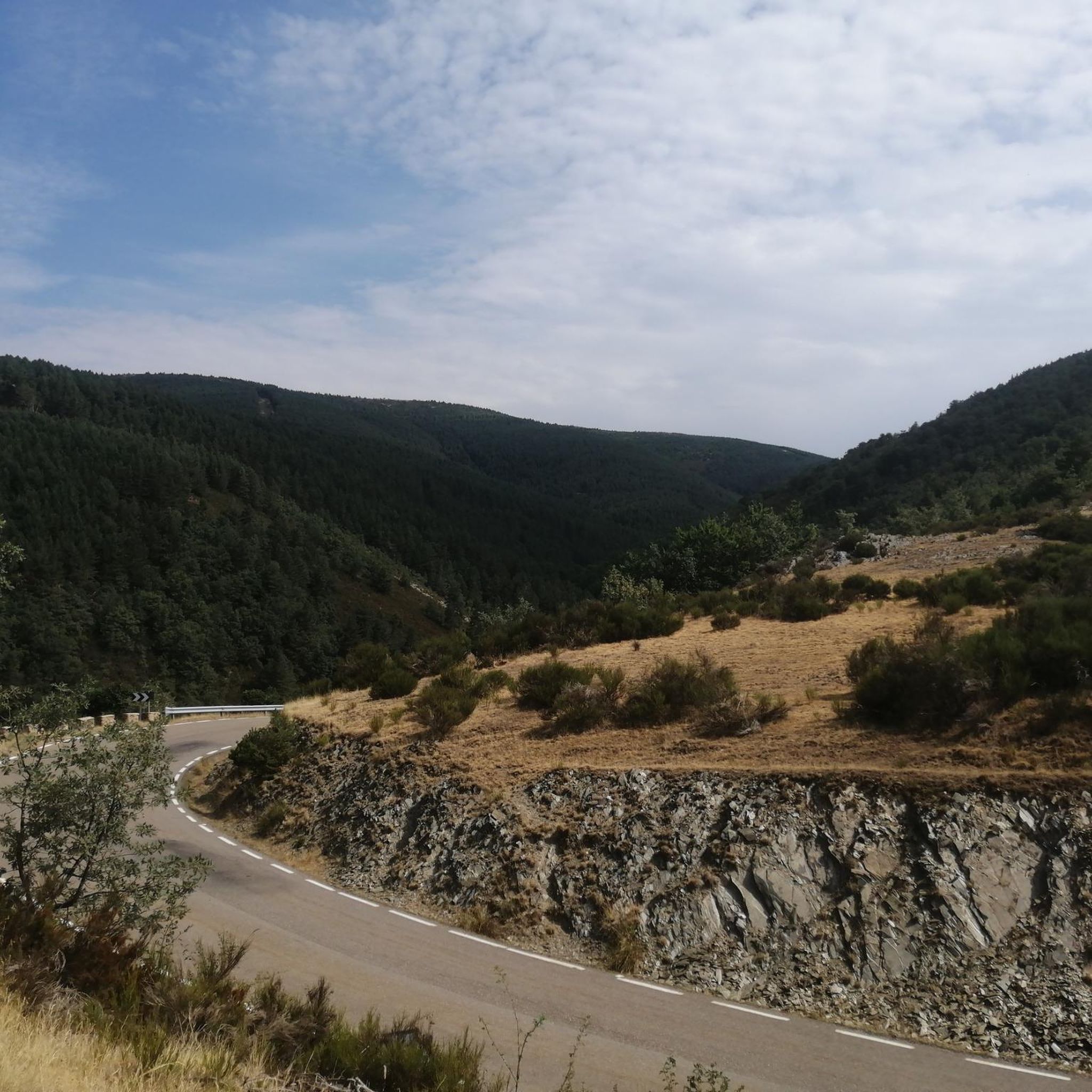
Hiking around Comunidad de Barbadillo del Pez y Riocavado de la Sierra offers diverse landscapes within the Sierra de la Demanda. The region features mountainous terrain with peaks, lush valleys, and dense forests. Notable natural features include glacial lagoons and the Arlanzón river, which originates here, with trails following the scenic Embalse del Arlanzón.
Best hiking trails around Comunidad de Barbadillo del Pez y Riocavado de la Sierra
- The most popular hiking route is Pico Mencilla by Pineda de la…
Last updated: September 4, 2026
5.0
(1)
24
hikers
Hard hike. Very good fitness required. Mostly accessible paths. Sure-footedness required.
5.0
(2)
3
hikers
Moderate hike. Good fitness required. Mostly accessible paths. Sure-footedness required.

Sign up for free
3
hikers
Moderate hike. Good fitness required. Easily-accessible paths. Suitable for all skill levels.
5.0
(1)
28
hikers
18.7km
06:12
910m
910m
Hard hike. Very good fitness required. Easily-accessible paths. Suitable for all skill levels.
4.7
(7)
59
hikers
11.2km
04:12
720m
720m
Moderate hike. Good fitness required. Easily-accessible paths. Suitable for all skill levels.
Get access to more routes and recommendations from other explorers.
Sign up for free
Already have an account?
Our route recommendations are based on thousands of hikes, rides, and runs completed by other people on komoot.
Start today with a free account
Your next adventure awaits.
Login or Signup
Popular around Comunidad de Barbadillo del Pez y Riocavado de la Sierra

Cycling around Comunidad de Barbadillo del Pez y Riocavado de la Sierra

Road Cycling Routes around Comunidad de Barbadillo del Pez y Riocavado de la Sierra

Running Trails around Comunidad de Barbadillo del Pez y Riocavado de la Sierra
MTB Trails around Comunidad de Barbadillo del Pez y Riocavado de la Sierra
Tips from the Community

Small mountain refuge at about 1800 meters altitude. It is in quite bad condition, but offers a place to stop and rest before undertaking the last stretch to crown the Mencilla.
0
0
El Mencilla is the highest summit of the Mencilla mountain range, which in turn is part of the Sierra de la Demanda within the Iberian system. With an altitude of 1932 meters above sea level and a prominence of 532 meters, it gives its name to the homonymous mountain range. It is located in the Sierra de la Demanda natural space and the municipal terms of Pineda de la Sierra and Tinieblas de la Sierra converge here, part of the Sierra de la Demanda region, in the province of Burgos.
0
0


Spectacular area for hiking routes
0
0

Crossing of the hill path with the path down to Tinieblas de la Sierra.
1
1
Right at the top of Campo de los Corros.
1
1
In an idyllic location, also with a recreational area.
2
1
Frequently Asked Questions
How many hiking trails are available in Comunidad de Barbadillo del Pez y Riocavado de la Sierra?
There are over 18 hiking trails in Comunidad de Barbadillo del Pez y Riocavado de la Sierra, offering a variety of experiences. These include 2 easy routes, 10 moderate routes, and 6 difficult routes, catering to different fitness levels.
Are there any easy hiking trails suitable for beginners or families?
Yes, the region offers 2 easy routes perfect for beginners or families looking for a gentle walk. While specific easy routes are not detailed here, the overall network provides options for less strenuous outings amidst beautiful scenery.
What kind of landscapes can I expect to see while hiking in this region?
Hikers can expect diverse landscapes, from mountainous terrain with peaks and lush valleys to dense forests. Notable natural features include numerous glacial lagoons and picturesque views along the Embalse del Arlanzón, where the Arlanzón river originates. The autumn colors are particularly stunning due to the variety of trees.
Are there any trails that offer panoramic views?
Absolutely. For splendid panoramic views of the surrounding valleys, consider a hike to Pico San Millán (2,131 m), the highest point in Burgos province. Other routes, such as those to Mount San Cristóbal and Las Peñas del Bustillo, also provide expansive views of the Valdelaguna and Arlanza valleys.
Can I find circular hiking routes in Comunidad de Barbadillo del Pez y Riocavado de la Sierra?
Yes, many routes in the area are circular. For example, you can explore the Pico Mencilla by Pineda de la Sierra — circular through the Sierra de Mancilla, or the Verde Sierra de la Demanda — circular by the Espacio Natural de la Sierra de la Demanda. Another option is the Alto del Gayubar - from the Valdelaguna valley — circular through the Sierra de la Demanda Natural Space.
What are some notable natural attractions or landmarks to look out for?
Beyond the stunning mountain scenery, you can visit Puerto del Manquillo, a mountain pass offering beautiful forest ascents. The region is also known for its 'endless succession' of glacial lagoons and the scenic Embalse del Arlanzón. For peak baggers, Pico Mencilla is a prominent summit.
Is the Vía Verde Sierra de la Demanda suitable for hiking?
Yes, the Vía Verde Sierra de la Demanda, an old mining train path, is very popular for hiking. It's largely covered by forests and trees, passing by the scenic Arlanzón reservoir and charming villages like Pineda de la Sierra. The section from Arlanzón to Pineda is highly recommended.
What is the best time of year to go hiking in Comunidad de Barbadillo del Pez y Riocavado de la Sierra?
The region is particularly attractive in autumn due to the vibrant colors of its diverse forests. However, its mountainous terrain and varied routes make it suitable for hiking across multiple seasons, with snow-capped summits possible in winter and pleasant conditions in spring and summer.
Are there any challenging mountain hikes for experienced hikers?
Yes, for experienced hikers seeking a challenge, the ascent to Pico San Millán (2,131 m), also known as Torruco, is a demanding but rewarding option. Another difficult route is Pineda de la Sierra – San Millán (2,131 m) loop from Pineda de la Sierra, which involves significant elevation gain.
What do other hikers say about the trails in Comunidad de Barbadillo del Pez y Riocavado de la Sierra?
The trails in Comunidad de Barbadillo del Pez y Riocavado de la Sierra are highly rated by the komoot community, with an average score of 4.8 stars from over 10 reviews. Hikers often praise the diverse landscapes, from challenging mountain ascents to serene forest walks, and the well-maintained paths.
Are there any historical or unique sites to explore while hiking?
Beyond natural beauty, the area holds historical and paleontological interest. You can find unique sites with dinosaur footprints and fossilized trees. The region also boasts a high concentration of early medieval necropolises and hermitages, offering a glimpse into its rich past.
Most popular routes around Comunidad de Barbadillo del Pez y Riocavado de la Sierra
Most popular attractions around Comunidad de Barbadillo del Pez y Riocavado de la Sierra

Get inspired with the komoot mobile app


Explore more
Browse the best Hikes in other regions.
