The best walks and hikes around Alòs De Balaguer
4.7
(275)
1,868
hikers
90
hikes
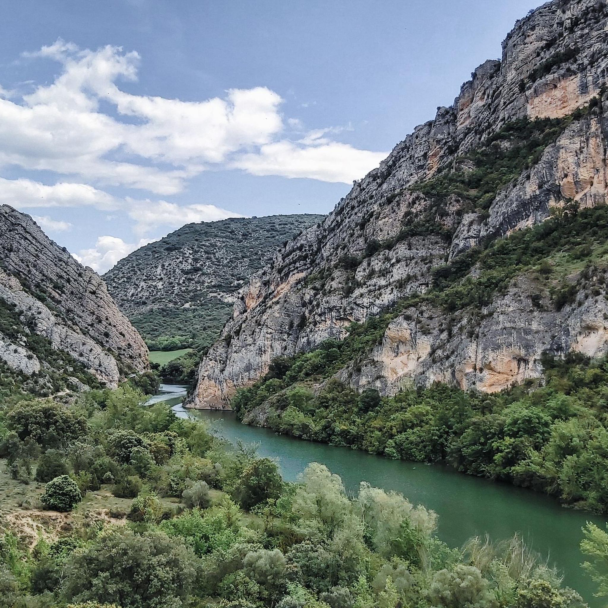
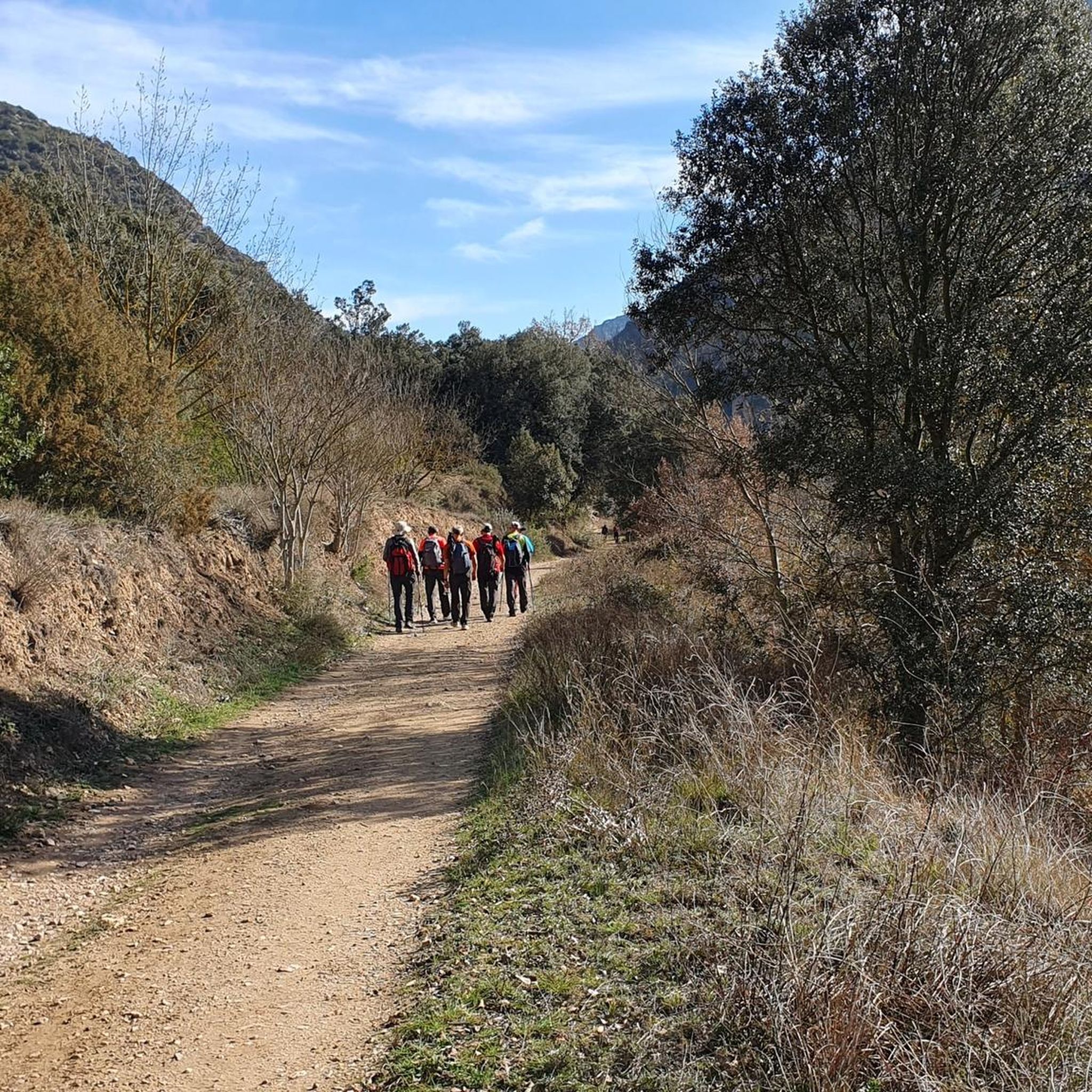
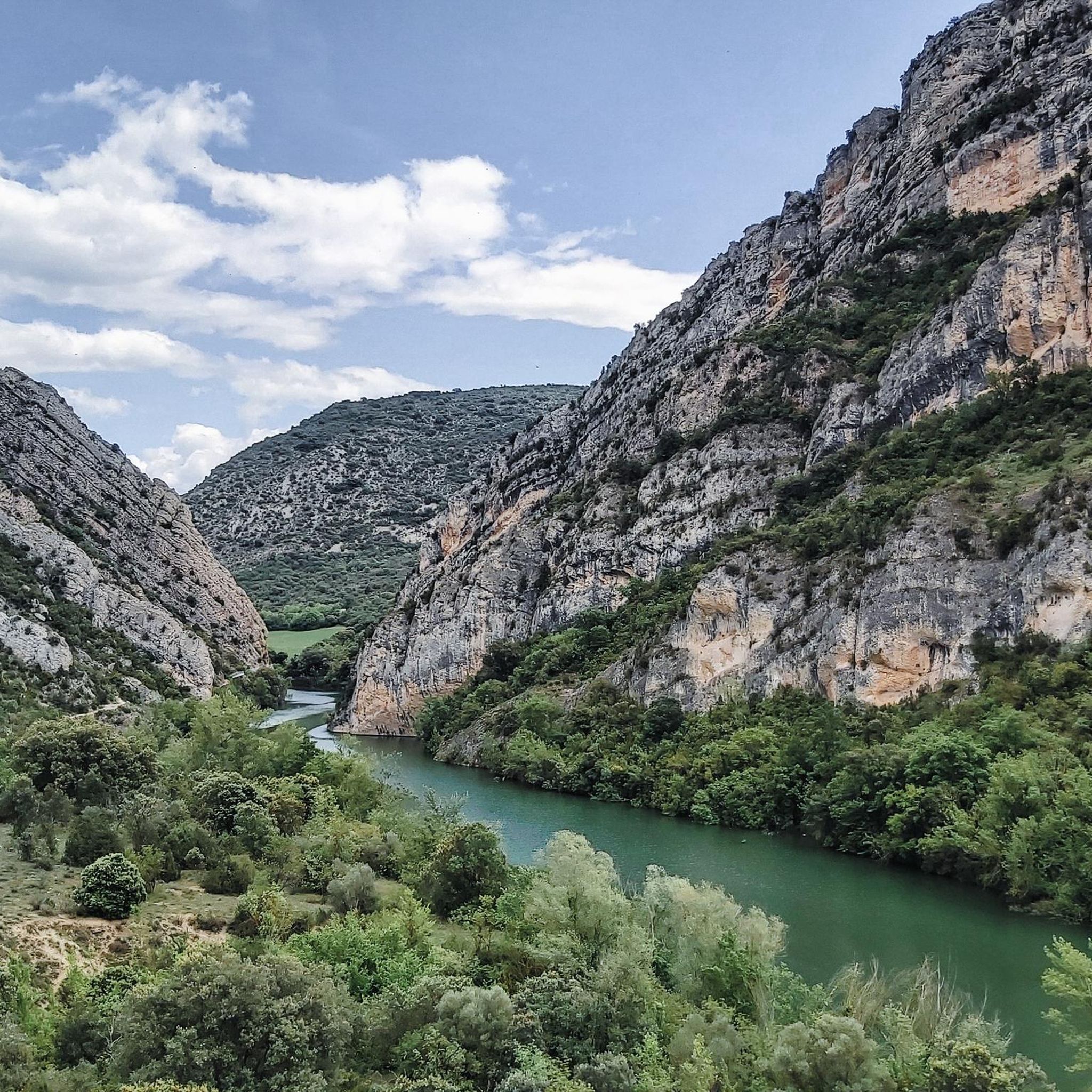
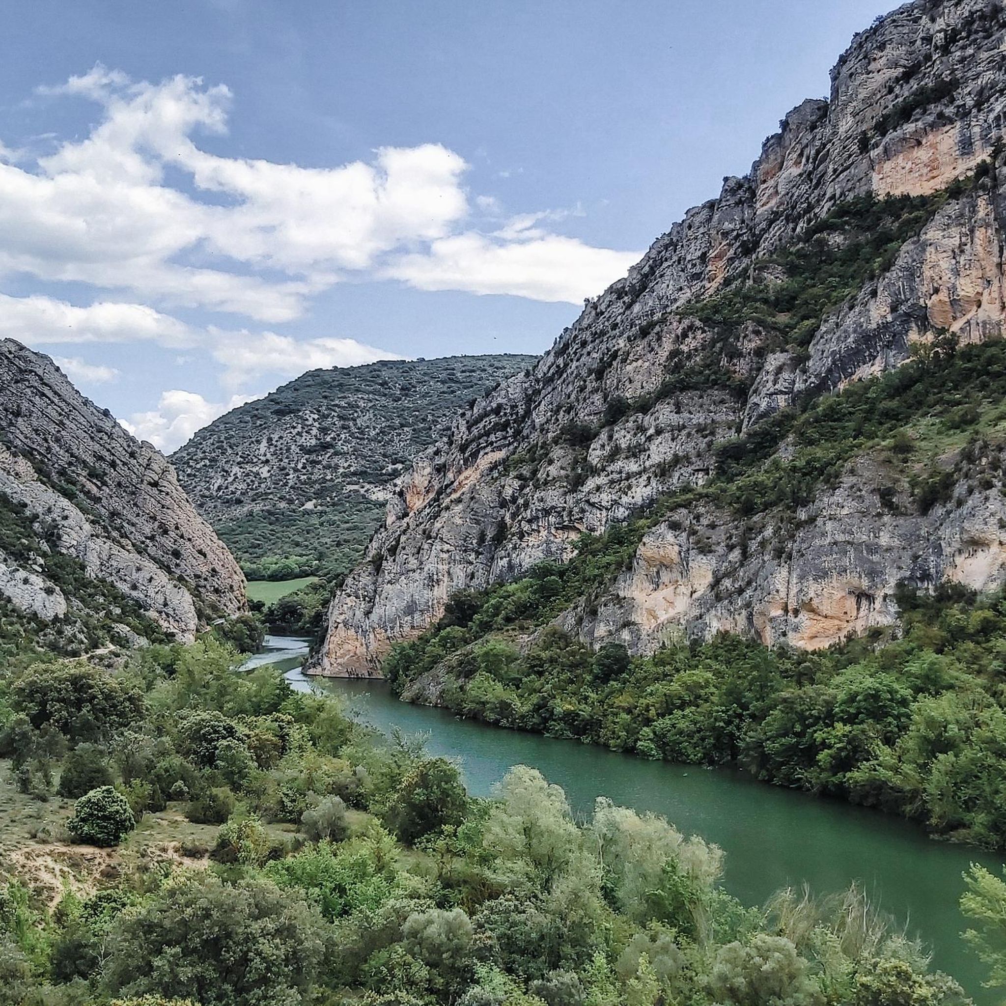
Hiking around Alòs De Balaguer offers diverse terrain in the Noguera region of Lleida, Spain. The landscape is characterized by dramatic gorges, such as the Congost del Mu, carved by the Segre River, and surrounded by the Montsec and Mont-roig mountain ranges. Hikers encounter impressive rock walls, riverine paths, and varied agricultural fields. The region provides a mix of natural beauty and historical elements, including ancient paths and viewpoints.
Best hiking trails in Alòs De Balaguer
- The most popular hiking route is Estret del Mu – Views Punta de l'Extrem loop from Noguera, a 8.9 miles (14.3 km) trail that takes 4 hours 3 minutes to complete. This moderate route offers expansive views of the surrounding landscape and the Segre River.
- Another top favourite among local hikers is El Segre – Estret del Mu loop from Presa de Camarasa, a moderate 6.3 miles (10.1 km) path. This trail follows the Segre River through the Estret del Mu gorge, showcasing the area's prominent rock formations.
- Local hikers also love the Cova del Tabac loop from Presa de Camarasa, a 3.3 miles (5.3 km) trail leading through varied terrain, often completed in about 1 hour 54 minutes. This moderate route explores the natural features near the Camarasa reservoir.
- Hiking around Alòs De Balaguer is defined by rugged gorges, the meandering Segre River, and surrounding mountain ranges. The network offers options for different ability levels, from easy riverside walks to more challenging mountain ascents.
- The routes in Alòs De Balaguer are highly rated by the komoot community with an average score of 4.7 stars from over 290 reviews. More than 2000 hikers have used komoot to explore Alòs De Balaguer's varied terrain.
Last updated: June 25, 2026
4.8
(24)
132
hikers
14.3km
04:04
300m
300m
Moderate hike. Good fitness required. Easily-accessible paths. Suitable for all skill levels.
4.7
(10)
102
hikers
10.1km
02:53
230m
230m
Moderate hike. Good fitness required. Easily-accessible paths. Suitable for all skill levels.

Sign up for free
4.7
(13)
74
hikers
5.25km
01:54
320m
320m
Moderate hike. Good fitness required. Easily-accessible paths. Suitable for all skill levels.
4.3
(10)
89
hikers
4.53km
01:18
100m
100m
Easy hike. Great for any fitness level. Easily-accessible paths. Suitable for all skill levels.
5.0
(13)
128
hikers
15.0km
04:11
280m
280m
Moderate hike. Good fitness required. Easily-accessible paths. Suitable for all skill levels.
Get access to more routes and recommendations from other explorers.
Sign up for free
Already have an account?
Our route recommendations are based on thousands of hikes, rides, and runs completed by other people on komoot.
Start today with a free account
Your next adventure awaits.
Login or Signup

Tips from the Community

Just dare to walk over it. The footbridge is safe
0
0
On the other side of the bridge, a beautiful hiking trail begins
0
0
The walkways are safe, dare to walk over them. It will be a great hike. Have fun
0
0
From now on, it will be interesting to hike. Those who dare to walk across the footbridges along the rock face will experience a great hike.
0
0
You have to park here. It's still about 2 km to the dam. It only gets interesting for hiking from there
0
0


With magnificent views of Camarasa and the Segre River, at this point we will find the Cova del Tabac, a monumental cave where we will find ancient cave paintings damaged by acts of vandalism. The cave was formed by karst phenomena, meaning that water infiltrated through the stone over millions of years. As a curiosity, we know that the name Cova del Tabac comes from the powder that centuries ago was extracted from it to mix with tobacco.
1
0
Frequently Asked Questions
What kind of terrain can I expect when hiking around Alòs De Balaguer?
Hiking around Alòs De Balaguer offers a diverse landscape characterized by dramatic gorges, particularly the Congost del Mu, carved by the Segre River. You'll encounter impressive rock walls, riverine paths, and varied agricultural fields. The region is also surrounded by the Montsec and Mont-roig mountain ranges, providing a mix of natural beauty and historical elements.
Are there easy hiking trails suitable for beginners in Alòs De Balaguer?
Yes, Alòs De Balaguer offers a good selection of easy trails. Out of nearly 100 routes in the area, 24 are classified as easy. An example of an accessible route is the El Segre – Views Punta de l'Extrem loop from Camarasa, which is 4.5 km long and takes about 1 hour 17 minutes to complete.
What are some notable natural features or landmarks to see on the trails?
The region is rich in natural and historical landmarks. The most prominent natural feature is the spectacular Congost del Mu (Mu Gorge), with its impressive rock walls and the Segre River. You can also explore the Cova del Tabac, a notable cave, and the historic Suspension Bridge and Dam at Congost de Mu. The Alòs de Balaguer Castle also offers privileged views of the valley.
Are there any circular hiking routes in the area?
Yes, many of the routes around Alòs De Balaguer are circular, allowing you to start and end at the same point. For example, the El Segre – Estret del Mu loop from Presa de Camarasa is a moderate 10.1 km path that follows the Segre River through the gorge.
What is the best time of year to go hiking in Alòs De Balaguer?
The spring and autumn months are ideal for hiking in Alòs De Balaguer. During these seasons, the weather is generally mild and pleasant, making it comfortable to explore the gorges and mountains. The natural landscapes, including the Congost del Mu, are particularly beautiful at these times, with opportunities to observe local wildlife.
Are there any family-friendly hiking options?
While specific family-friendly routes are not detailed, the presence of 24 easy trails suggests there are options suitable for families. Routes with less elevation gain and shorter distances, such as the El Segre – Views Punta de l'Extrem loop from Camarasa, would be good starting points for families looking for a pleasant walk.
What do other hikers say about the trails in Alòs De Balaguer?
The hiking trails in Alòs De Balaguer are highly rated by the komoot community, with an average score of 4.7 stars from over 295 reviews. Hikers often praise the dramatic landscapes of the Congost del Mu, the scenic paths along the Segre River, and the varied terrain that offers something for different skill levels.
How many hiking routes are available in Alòs De Balaguer?
There are nearly 100 hiking routes available around Alòs De Balaguer. This includes 24 easy, 52 moderate, and 19 difficult trails, offering a wide range of options for all experience levels.
Are there any historical sites or castles to visit near the hiking trails?
Yes, the region has a rich history. You can visit the Alòs de Balaguer Castle, which offers panoramic views. Additionally, the Sant Jordi Hermitage, an ancient religious building, is another point of interest with historical and architectural significance.
Can I find trails that explore caves in the area?
Yes, the region is known for its caves. One notable route is the Cova del Tabac loop from Presa de Camarasa, a moderate 5.3 km trail that allows you to explore the natural features near the Camarasa reservoir, including the Cova del Tabac itself.
What are the typical distances and durations for hikes in Alòs De Balaguer?
Hikes in Alòs De Balaguer vary significantly. You can find shorter routes like the Cova del Tabac loop from Presa de Camarasa, which is 5.3 km and takes about 1 hour 54 minutes. Longer, more challenging routes, such as the Estret del Mu – Views Punta de l'Extrem loop from Noguera, can be up to 14.3 km and take around 4 hours 3 minutes.
Most popular routes around Alòs De Balaguer
Most popular attractions around Alòs De Balaguer

Get inspired with the komoot mobile app


Explore more
Browse the best Hikes in other regions.
