The best road cycling routes around Chera
3.7
(4)
326
riders
28
rides
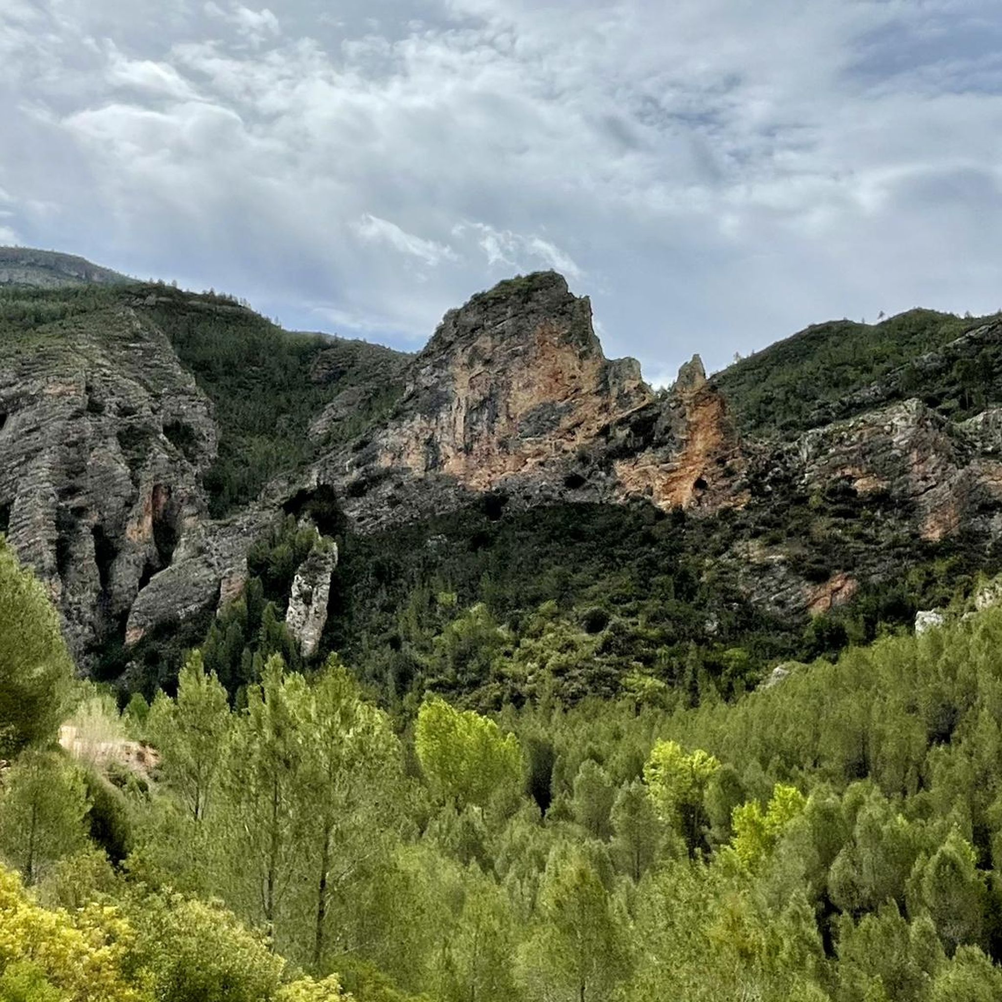
Road cycling routes around Chera traverse a landscape characterized by mountainous terrain, riverine valleys, and varied vegetation within the Valencia region of Spain. The area is situated near the Chera-Sot de Chera nature reserve, offering diverse natural surroundings for cyclists. Routes often feature challenging climbs and descents, providing scenic backdrops of cliffs and forests. This natural environment creates a rewarding experience for road cyclists seeking varied terrain.
Best road cycling routes around Chera
- The most popular road cycling route is…
Last updated: October 12, 2026
3.0
(2)
43
riders
62.3km
03:12
990m
990m
Hard road ride. Very good fitness required. Mostly well-paved surfaces and easy to ride.
40
riders
65.2km
03:00
810m
810m
Moderate road ride. Good fitness required. Mostly well-paved surfaces and easy to ride.

4.0
(1)
28
riders
57.1km
02:41
680m
680m
Moderate road ride. Good fitness required. Some segments of this route may be unpaved and difficult to ride.
23
riders
41.1km
02:14
820m
820m
Moderate road ride. Good fitness required. Mostly well-paved surfaces and easy to ride.
14
riders
56.5km
02:43
720m
720m
Moderate road ride. Good fitness required. Some segments of this route may be unpaved and difficult to ride.
Get access to more routes and recommendations from other explorers.
Already have an account?
Our route recommendations are based on thousands of hikes, rides, and runs completed by other people on komoot.
Start today with a free account
Your next adventure awaits.
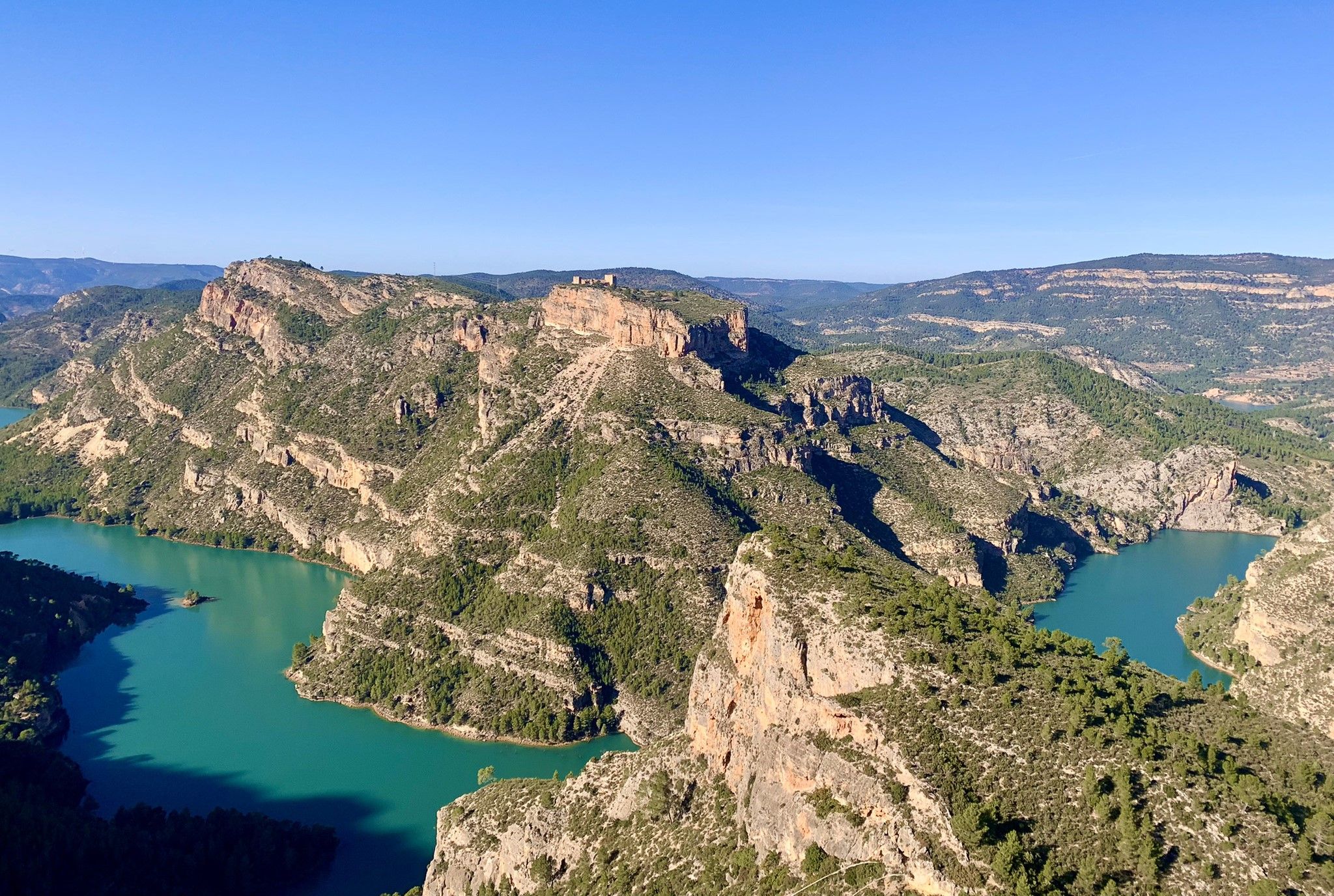
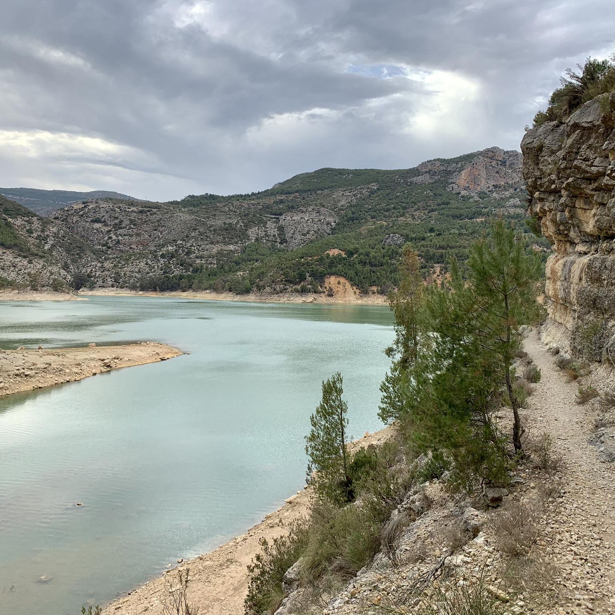
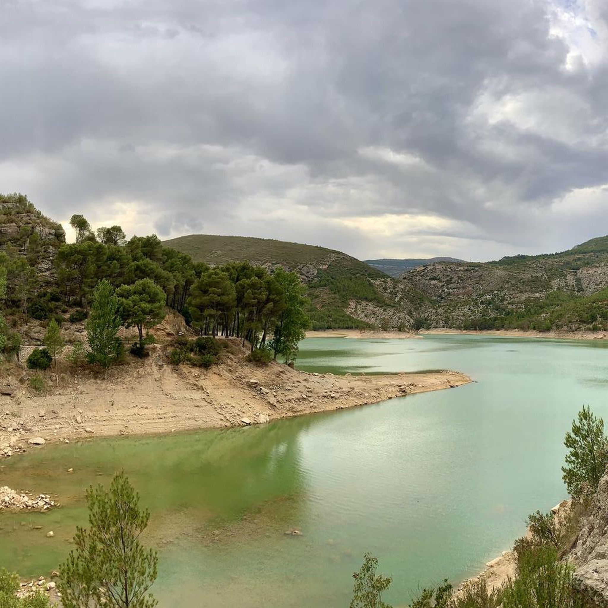
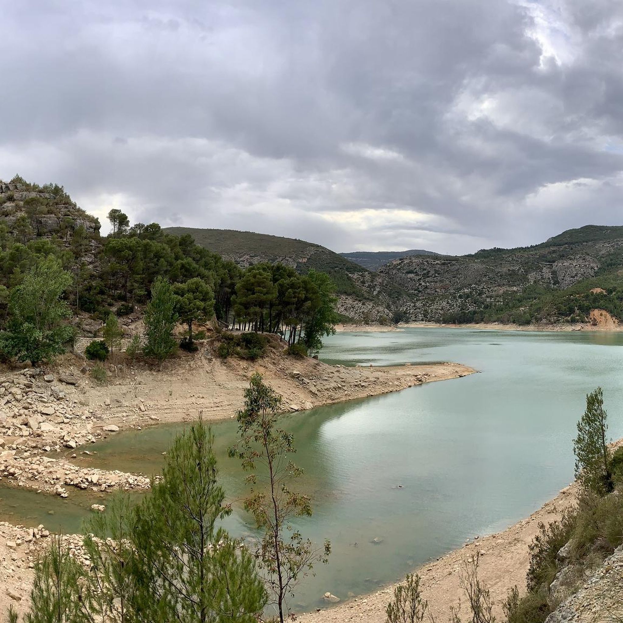

Other adventures around Chera

Tips from the Community

Totally abandoned area, without maintenance. They repair it from time to time and abandon it again until its total deterioration.
0
0
Ruins of the Roman baths of Mura, in its time it was an important thermal complex, The town hall cannot decide to carry out a proper intervention to recover it, Sometimes visits are made and they can always be seen from outside the fence
0
0

The road is narrow but in excellent condition (as of 2025, it's so new it doesn't even have painted lines yet). It's 3.7 km long with an average gradient of 6.0% and a maximum gradient of 10.5%, for a total elevation gain of 221 m, reaching a summit of 409 m above sea level (according to official signage). After a short descent, you can connect to the Puerto del Barranco de la Escoba pass, or take the secondary road to climb La Marjana.
1
0
Narrow road but in very good condition. Linked from Gestalgar after the Gabaldón Pass, we find 2.8km at an average gradient of 4.8% with a maximum gradient of 9% for a difference in elevation of 135m, reaching a summit of 437m above sea level (according to the official signage).
2
0

The Reatillo River, also known as the Sot River in its final stretch, is a tributary of the Turia River that flows through spectacular natural surroundings in the province of Valencia, particularly in the Chera-Sot de Chera Natural Park. In Sot de Chera, the river forms natural pools or "charcos" (pools), ideal for swimming, especially in summer. One of the best-known is Charco Gruñidor, a natural pool of crystal-clear water surrounded by vegetation and rocks.
4
0

Update after La Dana, the fountain is almost destroyed, but the water is still flowing, now at ground level (I put a photo).
1
1
A small additional, useful detail: this fountain has water all year round, even at the end of summer.
2
1
Frequently Asked Questions
How many road cycling routes are available in Chera?
There are over 15 road cycling routes around Chera, offering a variety of experiences for cyclists. These routes are generally categorized as moderate to difficult, providing options for different skill levels.
What is the typical terrain like for road cycling in Chera?
Road cycling in Chera features a diverse landscape characterized by mountainous and hilly terrain, riverine valleys, and varied vegetation. You can expect challenging climbs and descents, with scenic backdrops of cliffs and forests, particularly within and around the Chera-Sot de Chera nature reserve.
Are there routes suitable for experienced road cyclists looking for a challenge?
Yes, Chera offers several challenging routes. For instance, the Requena Fortress – Reatillo River loop from Sot de Chera is a difficult 62.6 km path that explores historical landmarks and river valleys, providing a significant test for experienced riders.
What kind of natural features or landmarks can I expect to see along the routes?
The routes around Chera are rich in natural beauty and points of interest. You might encounter features like the Buseo Reservoir, the Waterfall and Pool at Barranco de la Hoz, or the Domeño Waterfall. For panoramic views, consider routes passing by viewpoints such as El Frailecico Viewpoint or Puntal Peñarrubio.
Are there any circular road cycling routes in Chera?
Yes, many of the road cycling routes in Chera are designed as loops. An example is the Antenas de Pedralba – El Gabaldón Pass loop from Gestalgar, a moderate 40.5 km trail that offers varied terrain and a pass.
What do other road cyclists say about the routes in Chera?
The road cycling routes in Chera are highly rated by the komoot community, with an average score of 3.0 stars. Cyclists often praise the varied terrain and the scenic backdrops of cliffs and forests that define the region's natural environment.
When is the best time of year to go road cycling in Chera?
Given the region's climate, spring and autumn are generally the most pleasant seasons for road cycling in Chera. The weather is typically milder, avoiding the intense heat of summer and the cooler, potentially wetter conditions of winter, making for more comfortable rides through the mountainous and riverine landscapes.
Are there any routes that combine historical landmarks with natural scenery?
Absolutely. The Requena Fortress – Reatillo River loop from Sot de Chera is a prime example, allowing you to explore historical landmarks while traversing beautiful river valleys.
Can I find routes that are longer distances for endurance training?
Yes, there are longer routes available. For instance, the Antenas de Pedralba – Castell de Benisanó loop from Gestalgar covers approximately 70.7 km, offering a substantial distance for endurance-focused rides through varied terrain.
Are there any routes that follow river valleys?
Yes, the region's riverine landscapes provide several routes that follow river valleys. The Reatillo River – Chulilla loop from Sot de Chera is a moderate 47.5 km route that takes you through picturesque river valleys.
What kind of elevation changes should I expect on Chera's road cycling routes?
Chera's road cycling routes are known for their mountainous and hilly terrain, so you should expect significant elevation changes. Routes often feature challenging climbs and descents, with some difficult routes accumulating nearly 1000 meters of ascent.
Are there any routes that offer views of the Chera-Sot de Chera nature reserve?
Many routes traverse or offer views of the Chera-Sot de Chera nature reserve, which is a key feature of the region. This ensures scenic rides through a preserved environment with diverse natural surroundings, including forests and cliffs.
Most popular attractions around Chera

Get inspired with the komoot mobile app


Explore more
Browse the best Road cycling routes in other regions.
