The best cycling routes around Canovelles
4.4
(219)
7,293
riders
265
rides
Touring cycling routes around Canovelles offer diverse landscapes, ranging from gentle undulations to more challenging ascents. The area features a mix of road, gravel, and mountain biking trails, catering to various fitness levels. Green spaces within the municipality, such as Parc de Can Xarlet and the forests of Bosc de Ca la Tona, provide immediate access to nature. The region also includes the tranquil Collada de Parpers mountain pass and the fluvial park along the River Congost.
Best touring cycling…
Last updated: June 27, 2026
5.0
(3)
18
riders
33.5km
02:32
260m
260m
Moderate bike ride. Good fitness required. Mostly paved surfaces. Suitable for all skill levels.
4.0
(12)
155
riders
Hard bike ride. Very good fitness required. Mostly paved surfaces. Suitable for all skill levels.

Sign up for free
4.0
(12)
124
riders
Easy bike ride. Great for any fitness level. Mostly paved surfaces. Suitable for all skill levels.
5.0
(3)
131
riders
Hard bike ride. Very good fitness required. Mostly paved surfaces. Suitable for all skill levels.
4.5
(2)
107
riders
Hard bike ride. Very good fitness required. Mostly paved surfaces. Suitable for all skill levels.
Get access to more routes and recommendations from other explorers.
Sign up for free
Already have an account?
Our route recommendations are based on thousands of hikes, rides, and runs completed by other people on komoot.
Start today with a free account
Your next adventure awaits.
Login or Signup

Tips from the Community

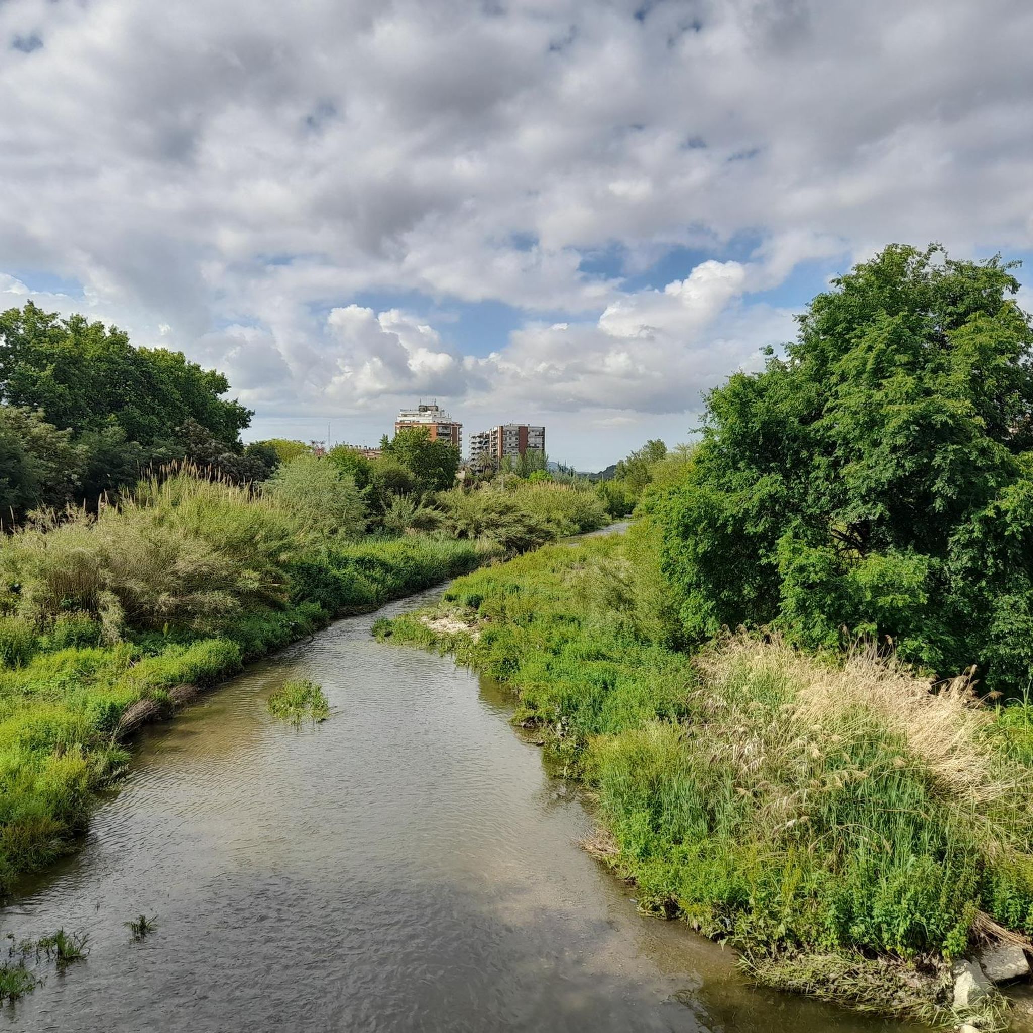
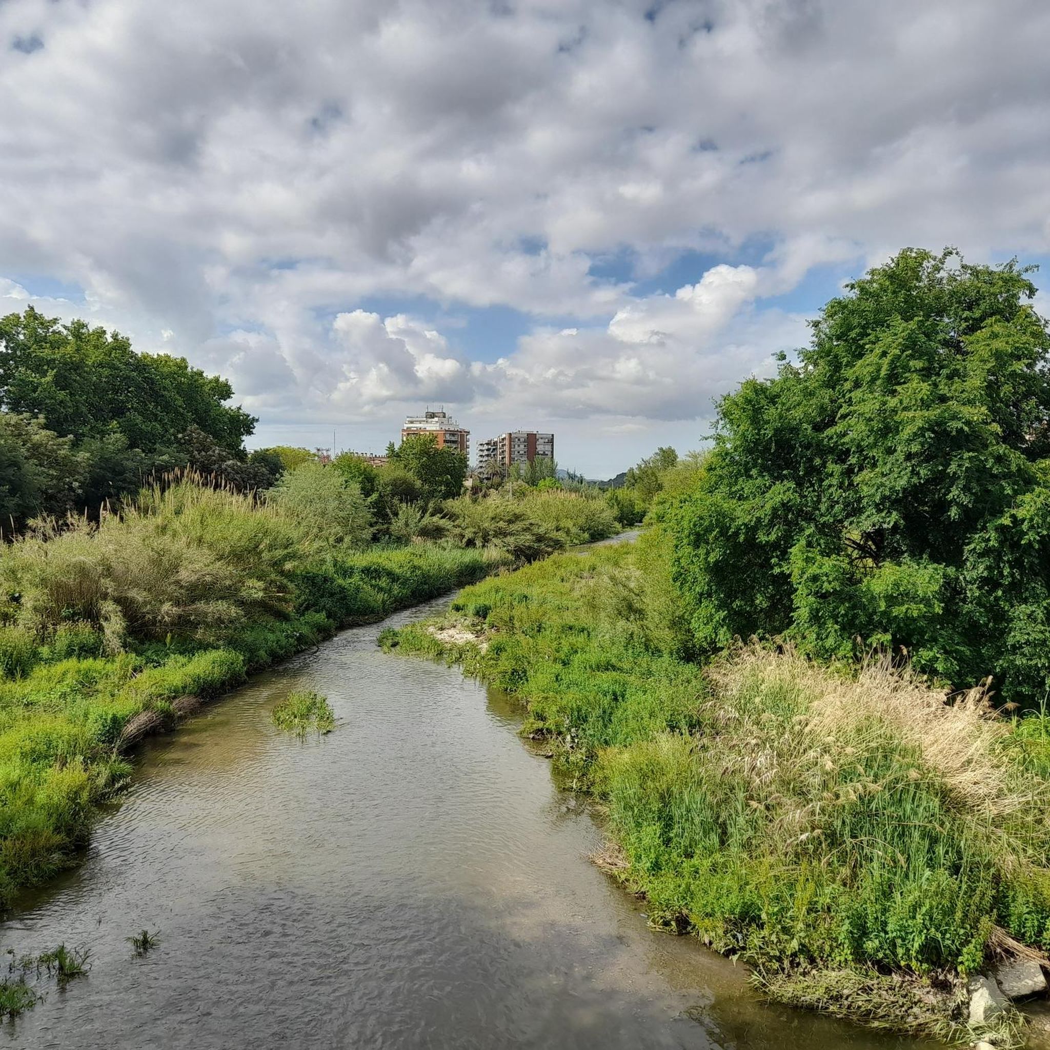
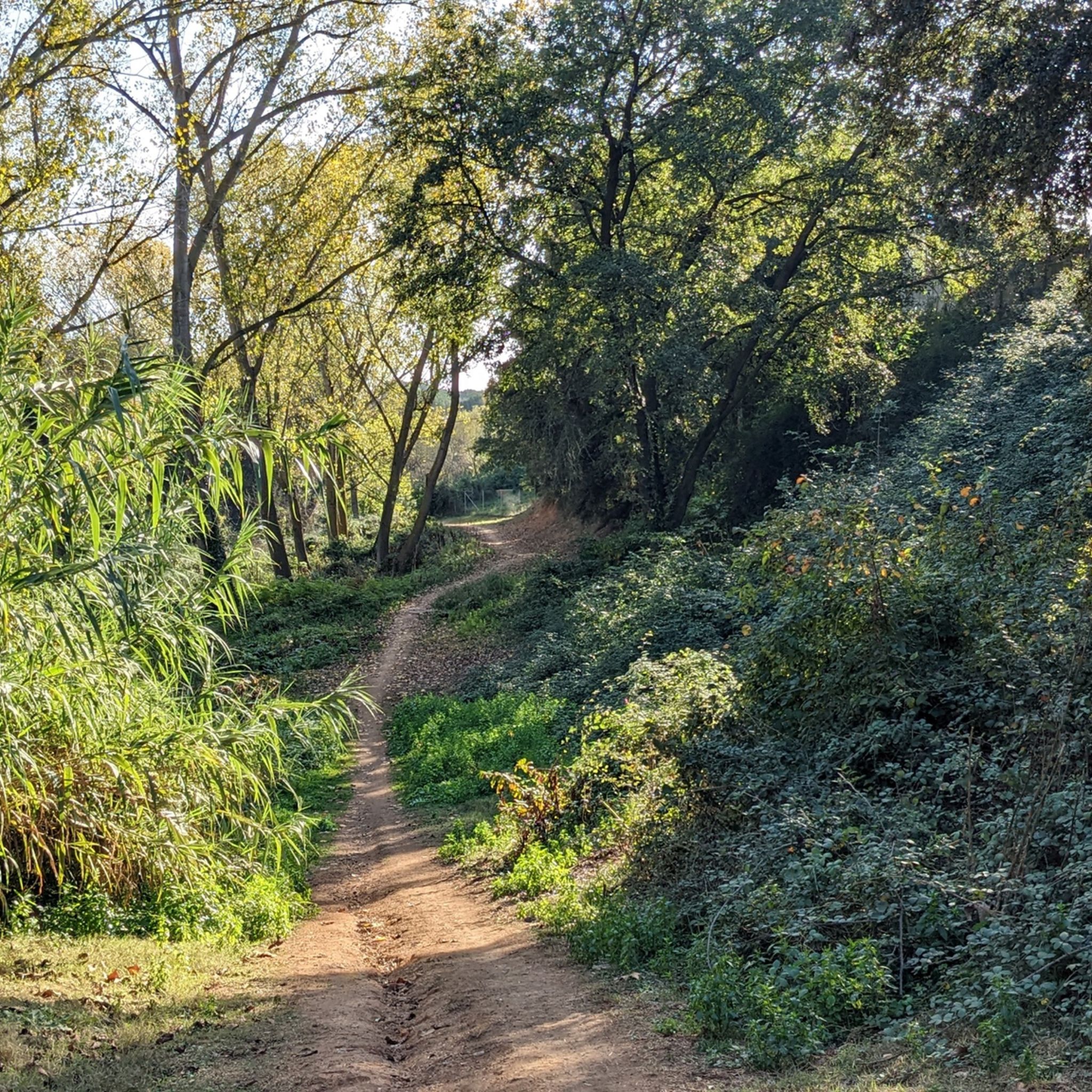
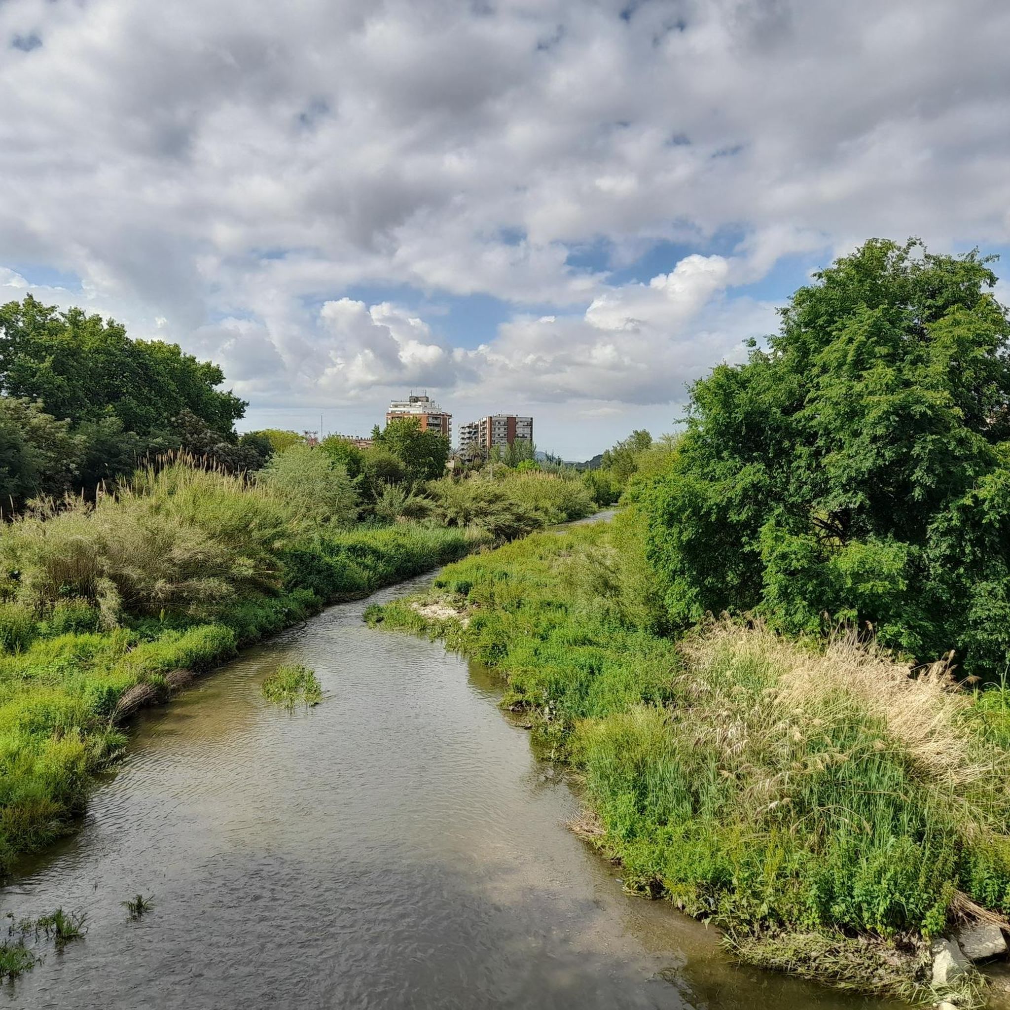
Corriol paral·lel al riu Congost, molt ombrívol, fresc i tota una alternativa per anar cap al Figaró des de la Garriga sense passar per l'autovia.
0
0

Good park, both in summer and winter
0
0

GOOD track, recommended for outdoor sports, and for all audiences 👍
0
0

Easy route, gather strength in the last stretch
0
0

La Garriga has two cycle paths and numerous paths to explore by bicycle. The exit from Plaza del Silencio passes through the Paseo where you can see summer heritage. Next, you advance through the Narcisa Freixas square until you reach Can Terreros where you can see the archaeological remains of Can Terreros. Continue over the bridge on Bages Street and Ramon Ciurans Street. Finally. It connects with the river path in Llerona, Rosanes and La Almendra, in a route of 3.9km. This route can be done up to 35km to reach Besós beach in a gradient of just under 100 meters. It descends comfortably parallel to the river, scanning the river, which is on the right, and crop fields on the left. As you go down, you reach a landscape that becomes more urban and industrial. The path has no discontinuity.
4
0

Church from the year 1022 in the municipality of La Roca del Vallès. In the square there is a fountain to fill the drums.
1
0

It is formed by a belt of mountains, hills and serrados from the so-called Pla de la Calma to Cuch, among which we can highlight Roca Centella, Mojó, Turó Monner, Puig del Sui (with 1322 m. altitude), Turó de Cuch (where the termini of Cánoves, Tagamanent, Montseny and San Pedro de Vilamajor face each other), and the Sierra de los Vallestrins, in the center of which stands the farmhouse of Vallforners, half fortress, half forest house, on the way of the Pla de la Calma, built by Señor de Tagamanent and restored by his son, Dalmau de Rocabertí, from the family of the counts of Peralada, in 1610.
21
0
The reservoir is 1.1 km long, with a capacity of 2.3 hm³, capable of irrigating up to 500 hectares of crops and supplying water to the extraordinary consumption of Cánoves and Cardedeu. Nearby is the Can Cuc chestnut tree, a monumental tree with a diameter of 14 m and a height of 15 m. Inside it is said that a charcoal burner once lived. The reservoir can store 2,300,000 m³ of water, which allows it to irrigate 500 ha. of crops, and even, extraordinary consumption of the populations of Cánoves and Cardedeu. For this reason, the municipalities of the two towns are part of the Irrigation Community.
22
1
Frequently Asked Questions
How many touring cycling routes are available around Canovelles?
There are over 270 touring cycling routes around Canovelles, offering a wide range of options for different preferences and fitness levels. These include 31 easy routes, 102 moderate routes, and 145 difficult routes, ensuring there's something for everyone.
What kind of terrain can I expect on touring cycling routes near Canovelles?
The terrain around Canovelles is quite varied, featuring gentle undulations, river paths, and forested areas. You'll find a mix of road, gravel, and mountain biking trails, with some segments potentially unpaved or steep, especially on more challenging routes. The area is known for its diverse landscapes, from green spaces within the municipality to broader natural areas.
Are there touring cycling routes suitable for beginners or families in Canovelles?
Yes, Canovelles offers 31 easy touring cycling routes perfect for beginners or families looking for a relaxed ride. These routes typically have minimal elevation gain and often follow pleasant paths like the fluvial park along the River Congost. An example is the Via del Colesterol LaGarriga – Riu Congost Greenway loop from Granollers - Canovelles, which is 14.0 miles (22.5 km) long and mostly flat.
What are some challenging touring cycling routes for experienced cyclists?
For experienced cyclists seeking a challenge, Canovelles has 145 difficult routes with significant elevation gain. A notable option is the Vallforners Reservoir – Vallforners Reservoir loop from Granollers - Canovelles, a 27.4 miles (44.1 km) path that leads to the scenic Vallforners Reservoir and features substantial climbing.
Can I find circular touring cycling routes in the Canovelles area?
Yes, many touring cycling routes around Canovelles are designed as loops, allowing you to start and end at the same point. An excellent example is the Vallès Oriental Cycle Network Loop, a 20.8 miles (33.5 km) moderate trail that explores the extensive local cycle network.
What natural features or viewpoints can I discover while cycling around Canovelles?
Cycling around Canovelles offers access to various natural features and rewarding viewpoints. You can explore the tranquil pine and holm oak forests around Parpers Pass, or enjoy the natural setting of the River Congost. For exquisite panoramic views of the surrounding region, consider cycling towards the Puiggraciós Optical Telegraph Tower.
Are there historical landmarks or attractions to see along the cycling routes?
Absolutely. The region boasts a rich Romanesque heritage and megalithic past. You can incorporate historical points of interest into your rides, such as the Romanesque hermitage of Sant Bartomeu de Cabanyes or the Santa Maria de Gallecs Church, both located in significant natural areas. The statue-menhir of Ca l'Estrada also reflects the ancient culture of the area.
What do other touring cyclists enjoy the most about touring cycling in Canovelles?
The area is highly rated by the komoot community, with an average score of 4.3 stars from over 200 reviews. Reviewers often praise the diverse landscapes, the variety of routes catering to different skill levels, and the opportunity to explore both natural green spaces and historical sites. Over 7,000 touring cyclists have used komoot to explore Canovelles's varied terrain.
Is it possible to access touring cycling routes near Canovelles using public transport?
Canovelles is well-connected, and public transport options are available to reach the general area. For specific trailheads, it's advisable to check local bus routes or train services that connect to towns near the starting points of your chosen cycling routes. Granollers, a nearby town, often serves as a hub for accessing the wider region.
Are there any specific permits required for cycling on trails around Canovelles?
Generally, no specific permits are required for touring cycling on the established routes and public paths around Canovelles. However, it's always good practice to respect local regulations, especially when cycling through protected natural areas or private land. Always stay on marked trails.
What is the best time of year to go touring cycling in Canovelles?
The Catalan region, including Canovelles, generally offers pleasant cycling conditions for much of the year. Spring and autumn are often ideal, with mild temperatures and beautiful scenery. Summers can be warm, so early morning or late afternoon rides are recommended. Winters are typically mild, making cycling possible year-round, though some higher elevation routes might be cooler.
Are there any routes that combine cycling with exploring Roman ruins?
Yes, you can certainly combine your cycling with exploring historical sites. The Via del Colesterol LaGarriga – Roman Ruins of Can Terrers loop from Granollers - Canovelles is a difficult 40.7 km route that specifically includes the Roman Ruins of Can Terrers, offering a blend of physical activity and historical discovery.
Where can I find more information about the natural environment around Granollers and Canovelles?
For more detailed information about the natural environment, including the fluvial park along the River Congost and other green spaces in the broader Granollers area, you can visit the official tourism website: visitgranollers.com.
Most popular routes around Canovelles
Most popular attractions around Canovelles

Get inspired with the komoot mobile app


Explore more
Browse the best Cycling routes in other regions.
