The best cycling routes around Castillo De Garcimuñoz
5.0
(2)
10
riders
13
rides
Touring cycling routes around Castillo De Garcimuñoz traverse a landscape characterized by open plains, agricultural fields, and the presence of significant water bodies like the Embalse de Alarcón. The terrain generally features gentle undulations and rolling hills, with some routes offering moderate elevation gains. This region provides a mix of rural roads and paths suitable for touring cyclists seeking a tranquil experience.
Best touring cycling routes around Castillo De Garcimuñoz
- The most popular touring cycling route is Return to the…
Last updated: July 2, 2026
93.0km
05:53
730m
730m
Hard bike ride. Very good fitness required. Mostly paved surfaces. Suitable for all skill levels.
1
riders
21.6km
01:34
190m
180m
Moderate bike ride. Good fitness required. Mostly paved surfaces. Suitable for all skill levels.

Sign up for free
3
riders
30.7km
02:24
200m
200m
Moderate bike ride. Good fitness required. Mostly paved surfaces. Suitable for all skill levels.
5.0
(2)
3
riders
28.9km
01:53
240m
240m
Moderate bike ride. Good fitness required. Mostly paved surfaces. Suitable for all skill levels.
3
riders
28.2km
02:24
160m
160m
Moderate bike ride. Good fitness required. Mostly paved surfaces. Suitable for all skill levels.
Get access to more routes and recommendations from other explorers.
Sign up for free
Already have an account?
Our route recommendations are based on thousands of hikes, rides, and runs completed by other people on komoot.
Start today with a free account
Your next adventure awaits.
Login or Signup
Popular around Castillo De Garcimuñoz
Tips from the Community

A very small village located at a height overlooking a wide horizon. It has a small church and a small square.
0
0

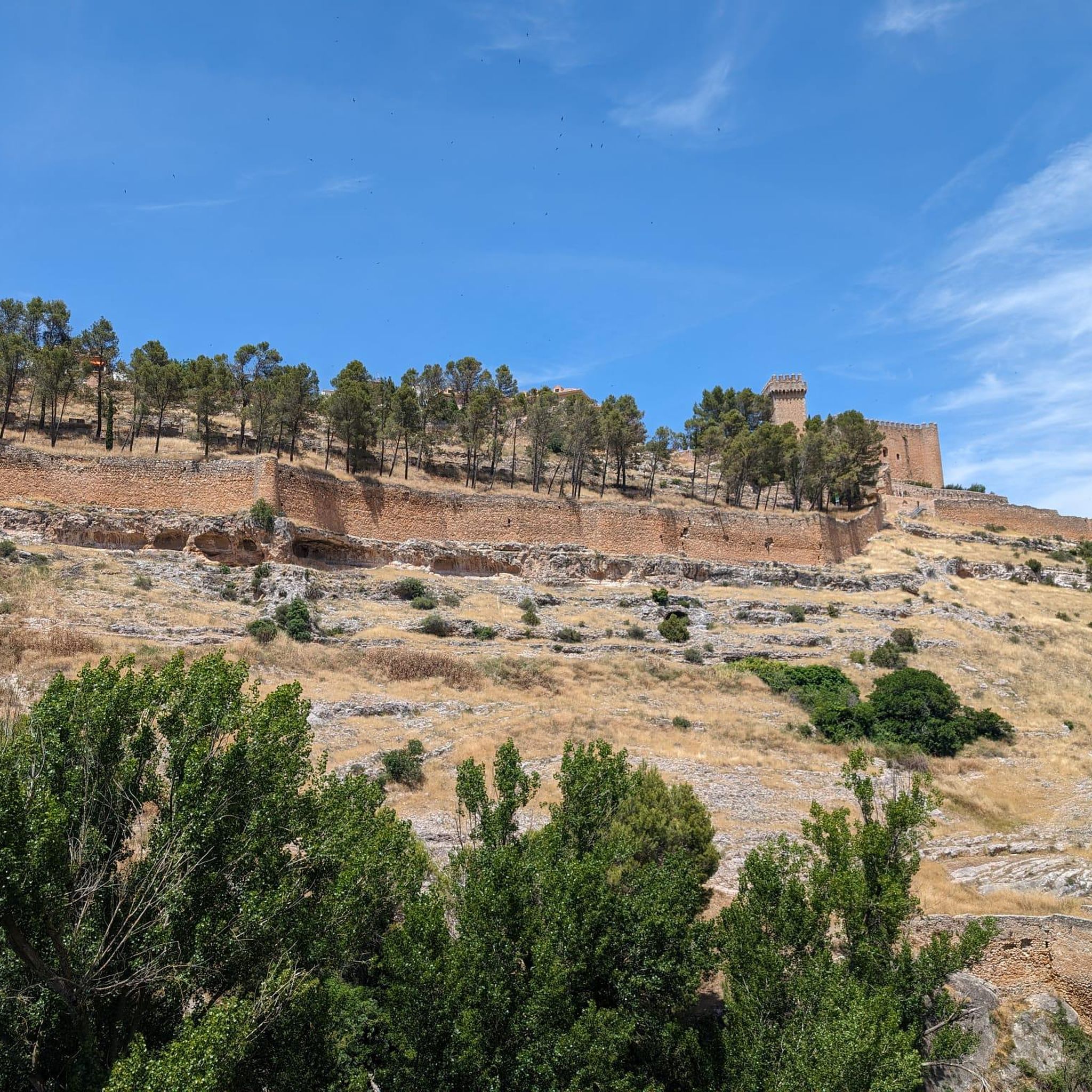
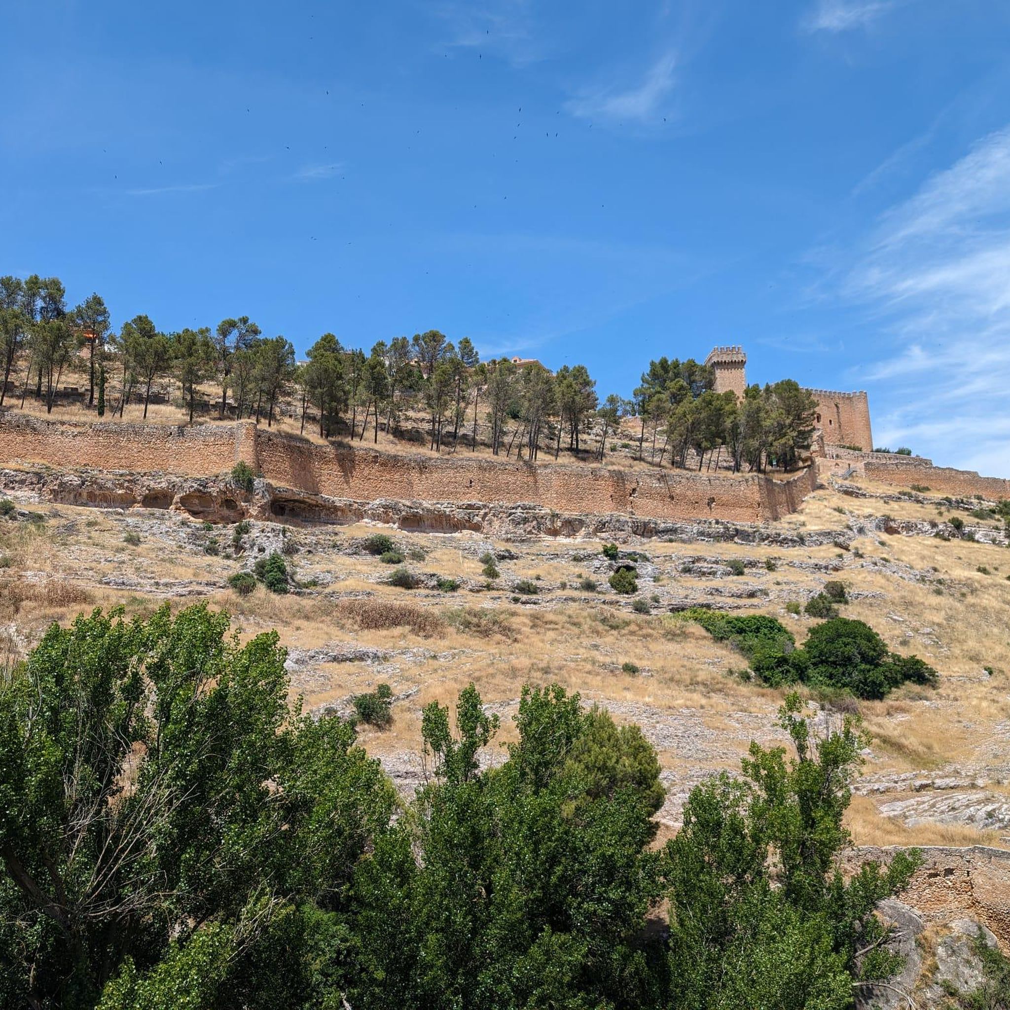
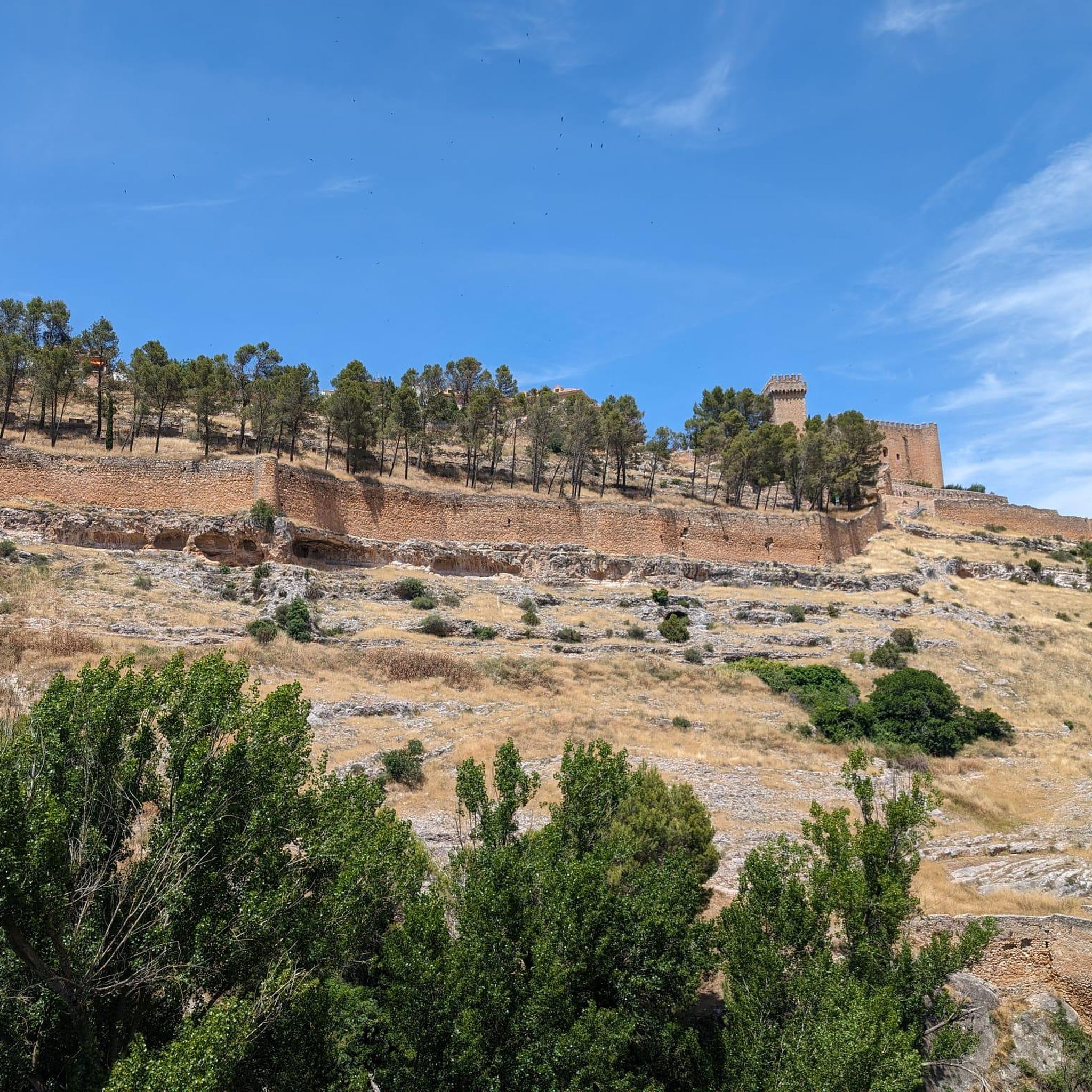
The Castillo de Garcimuñoz gives its name to the town itself and is the most impressive element in the center at the point you reach the town. Basically since it sticks out from the rest of the houses in the village!
1
0

Municipality located 50 km from Cuenca and 5 km from the Alarcón Reservoir. It has only 300 inhabitants. The surroundings are very beautiful and pedaling along the CM-2103 is a real pleasure.
2
0
The town is located on the banks of the Gritos river. On the Santo Niño promenade, you can look out from one of the enabled viewpoints and contemplate the beautiful panoramic view of the river.
2
0
The remains of the telegraph tower that was part of the Madrid-Valencia line, is located on a hill, now called Cerro Telégrafo.
2
0
A nice, wide beach on the Alarcón Reservoir, 3.5 km from Valverde de Júcar. Ideal place to spend a sunny and hot day. The road to get to the beach is gravel and well signposted.
2
0
Beautiful population that has a name with origins of what this nucleus had been. Of Arabic origin, Alberca means pond and Zancara, the bank that is close to the town itself.
0
0
On the way to the north of the Alarcón Reservoir there is this bridge that joins the Río Júcar with the swamp. Beautiful area.
0
0
Frequently Asked Questions
How many touring cycling routes are available around Castillo De Garcimuñoz?
There are over 10 touring cycling routes documented on komoot around Castillo De Garcimuñoz. These routes offer a variety of experiences across the region's open plains and agricultural landscapes.
Are there any easy or beginner-friendly touring cycling routes in the area?
While most routes are classified as moderate, the region's terrain generally features gentle undulations and rolling hills, making many paths accessible for beginners. For a moderate option that offers scenic waterside cycling, consider the Embalse de Alarcón — circular desde Valverde de Júcar, which is 13.4 miles (21.6 km) long.
What kind of scenery can I expect on touring cycling routes near Castillo De Garcimuñoz?
The touring cycling routes around Castillo De Garcimuñoz are characterized by open plains, vast agricultural fields, and significant water bodies, particularly the Embalse de Alarcón. You'll experience tranquil rural roads and rolling hills, offering expansive views of the countryside.
Are there any circular touring cycling routes available?
Yes, several routes are circular. A popular choice is the Torrubia del Castillo loop from La Almarcha, a 19.0 miles (30.7 km) trail that takes you through rural countryside.
What are some notable landmarks or attractions I can see while cycling?
The region offers several historical and natural points of interest. You can visit the historic Castillo de Garcimuñoz itself, or explore the nearby Castle of Villaescusa de Haro. For natural beauty, the Gritos River Gorge is also within reach.
What is the best time of year for touring cycling in Castillo De Garcimuñoz?
The region experiences warm summers and mild winters. Spring and autumn generally offer the most pleasant temperatures for touring cycling, with comfortable conditions for exploring the open landscapes and enjoying the reservoir views without extreme heat.
Are there any longer touring cycling routes for experienced cyclists?
Yes, for a more challenging and longer ride, consider the Return to the Álarcón reservoir from Honrubia. This route is 57.8 miles (93.0 km) long and features significant elevation gains, offering extensive views of the reservoir.
What do other touring cyclists say about the routes in Castillo De Garcimuñoz?
The routes in Castillo De Garcimuñoz are highly rated by the komoot community, with an average score of 5.0 stars from over 4 reviews. Cyclists often praise the tranquil experience, the open countryside, and the scenic reservoir views.
Are there any family-friendly cycling options?
Given the generally gentle undulations of the terrain, many of the moderate routes can be suitable for families with some cycling experience. The Pinarejo – La Alberca de Záncara loop from Santa María del Campo Rus is a moderate 28.2 miles (45.4 km) route that offers a good day out through the agricultural landscape.
Can I find routes that pass through villages or offer places to stop for refreshments?
The routes often traverse rural roads connecting small villages. While specific cafes or pubs are not detailed for every route, passing through settlements like Honrubia or La Almarcha, as seen in routes like the Torrubia del Castillo – Cerro Olivilla loop from Honrubia, provides opportunities to find local establishments for refreshments.
Is it possible to cycle in the winter months?
Winter cycling is generally possible due to the region's mild winters. However, it's always advisable to check local weather forecasts for rain or colder temperatures and ensure you are appropriately equipped for the conditions, as the open plains can be exposed to wind.
Most popular routes around Castillo De Garcimuñoz
Most popular attractions around Castillo De Garcimuñoz

Get inspired with the komoot mobile app


Explore more
Browse the best Cycling routes in other regions.
