The best walks and hikes around Campelles
4.6
(887)
8,122
hikers
12
hikes
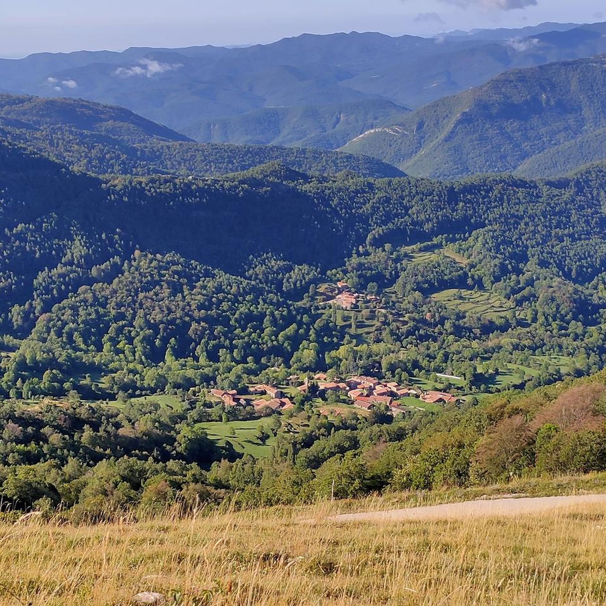
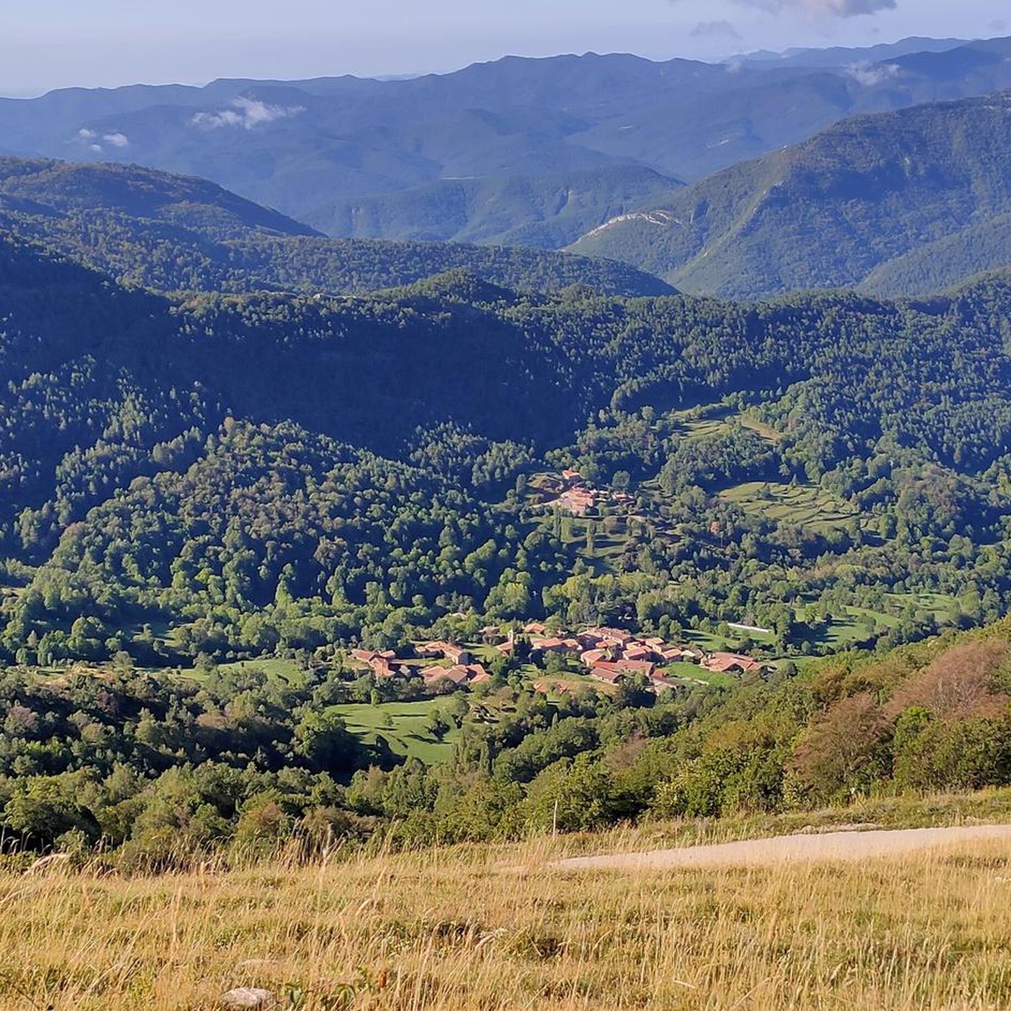
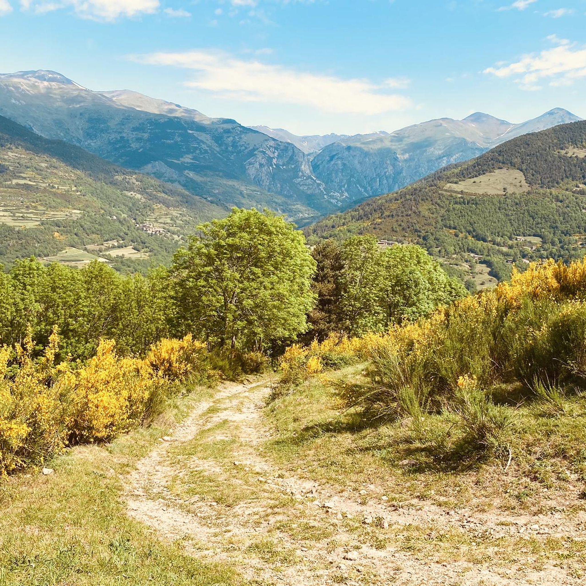
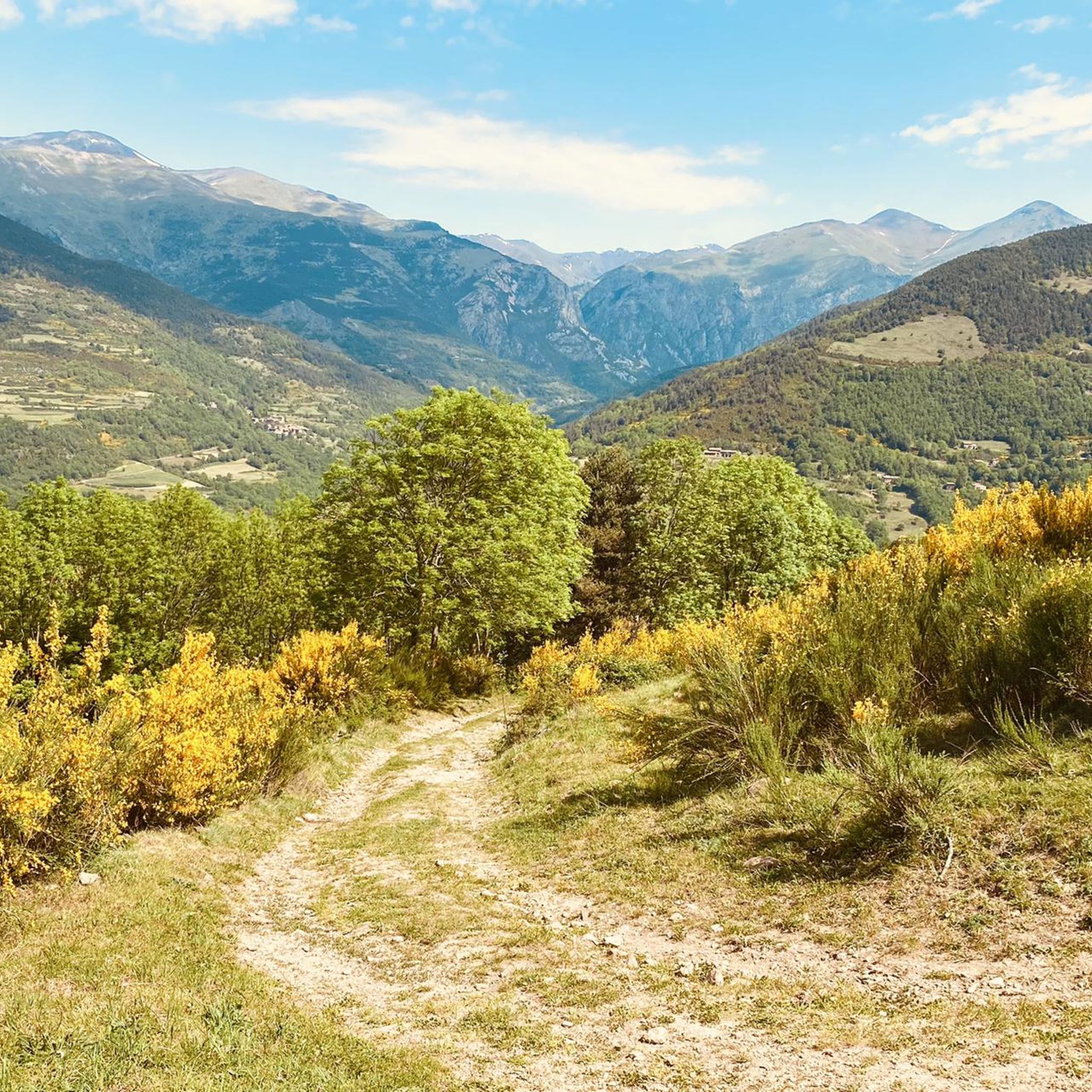
Hiking around Campelles offers access to the mountainous Ripollès region of Catalonia, Spain, characterized by its diverse natural landscapes. The area features panoramic views of the Ribes valley, including the Núria valley, Balandrau and Cerverís hills, and the Conivella and Cavallera mountain ranges, with the imposing Taga peak. Situated within the Sierra del Montgrony, the region provides a setting of lush forests and varied terrain for outdoor activities.
Best hiking trails around Campelles
- The most popular hiking route is Pico de Costa Pubilla from the Pla de Prats refuge - Circular through the Sierra del Montgrony, an 8.4 miles (13.5 km) trail that takes 4 hours 23 minutes to complete. This moderate route explores the Sierra del Montgrony.
- Another top favourite among local hikers is Sant Antoni Hermitage – Roca del Duc (1,259 m) loop from Campelles, an easy 3.7 miles (6.0 km) path. This loop includes a hermitage and reaches a peak of 1,259 meters.
- Local hikers also love the Pla de Prats Refuge – Campelles Village loop from Campelles, a 7.3 miles (11.8 km) trail leading through varied terrain, often completed in about 3 hours 30 minutes.
- Hiking around Campelles is defined by panoramic valley views, extensive mountain ranges, and lush natural environments. The network offers options for different ability levels, from easy strolls to more challenging treks.
- The routes in Campelles are highly rated by the komoot community with an average score of 4.6 stars from over 800 reviews. More than 8000 hikers have used komoot to explore Campelles's varied terrain.
Last updated: June 25, 2026
5.0
(2)
12
hikers
Moderate hike. Good fitness required. Easily-accessible paths. Suitable for all skill levels.
4.7
(3)
30
hikers
5.98km
01:46
170m
170m
Easy hike. Great for any fitness level. Easily-accessible paths. Suitable for all skill levels.

Sign up for free
5.0
(6)
17
hikers
11.8km
03:31
350m
350m
Moderate hike. Good fitness required. Easily-accessible paths. Suitable for all skill levels.
4.7
(3)
24
hikers
14.3km
04:59
800m
800m
Moderate hike. Good fitness required. Easily-accessible paths. Suitable for all skill levels.
4.5
(2)
11
hikers
9.83km
03:38
600m
600m
Moderate hike. Good fitness required. Easily-accessible paths. Suitable for all skill levels.
Get access to more routes and recommendations from other explorers.
Sign up for free
Already have an account?
Our route recommendations are based on thousands of hikes, rides, and runs completed by other people on komoot.
Start today with a free account
Your next adventure awaits.
Login or Signup

Tips from the Community

To go up with the bike you need to be ready to push for a long time, the good part is that in no section will it be necessary to carry the bike on your back. In the end, needless to say, we will have unimaginable views!
0
0

A 1,259 meter high peak located in the municipality of Ribes de Freser. At the top we find a viewpoint with panoramic views of the Taga, the Vall de Núria with all its peaks and the adjoining valleys of Ribes de Freser. We also found an old bunker.
0
0
Collado at 1716m of height located just above the town of Planoles and which serves as a foot access to the Sierra del Montgrony and to the top of the Costa Pubilla.
0
0
Small rustic and mountainous town, where peace and silence reign. Being at an altitude of 1145m, it has a privileged view of practically the entire Ribes Valley: the mountains of the Núria Valley, Balandrau and Mount Cerverís, the Conivella Mountains, the Cavallera Mountains and the imposing Taga.
0
0
The hermitage of Sant Antoni (1,271 m), is one of the best known sites in the Ribes Valley. It was built in the 17th century, and has been restored on more than one occasion; It preserves an altarpiece and the entire interior in baroque style. Less than 200m north we find the Roca del Duc viewpoint, where you can see panoramic views of the Ribes valley.
0
0
The Cumbre de Pla de Pujalts, also known as Costa Pubilla is a 2,056m mountain that is located between the municipalities of Gombrèn, Planoles and Toses, in the Ripollès region. It is part of the Montgrony mountain range
0
0
Forest refuge within the municipality of Campelles (Ripollès) at an altitude of 1,769m. It is located under the northern slope of the La Covil peak. It consists of 2 separate rooms, an open area for cattle and a part with a door, with a fireplace, table and wooden bunks. It is a rather precarious unguarded shelter.
1
0
Forest refuge within the municipality of Campelles (Ripollès) at 1,559 m altitude and located under the northern slope of La Covil peak. It is one of the access points to the Pla de Pujals peak, also known as Costa Pubilla 2053m.
1
0
Frequently Asked Questions
What kind of terrain can I expect on hikes around Campelles?
Hikes around Campelles offer diverse terrain within the mountainous Ripollès region. You'll find lush forests, varied paths, and significant elevation changes, providing panoramic views of the Ribes valley, including the Núria valley and the extensive Conivella and Cavallera mountain ranges. The area is part of the Sierra del Montgrony, contributing to its rugged charm.
Are there easy hiking options suitable for beginners in Campelles?
Yes, Campelles offers several easy hiking options. An excellent choice for beginners is the Sant Antoni Hermitage – Roca del Duc (1,259 m) loop from Campelles. This 3.7-mile (6.0 km) path is considered easy and includes a hermitage, reaching a peak of 1,259 meters.
Are there any challenging hikes for experienced trekkers in Campelles?
For experienced trekkers seeking a challenge, Campelles has more difficult routes. The Coll Pan – la Covil loop from Campelles is a difficult 9.2-mile (14.8 km) hike with significant elevation gain. Another demanding option is the La Covil – Campelles Village loop from Campelles, a difficult 10.2-mile (16.5 km) trail.
Are there circular hiking routes available in Campelles?
Yes, many of the trails around Campelles are circular, allowing you to start and end in the same location. Popular circular routes include the Pico de Costa Pubilla from the Pla de Prats refuge - Circular through the Sierra del Montgrony, the Sant Antoni Hermitage – Roca del Duc (1,259 m) loop from Campelles, and the Pla de Prats Refuge – Campelles Village loop from Campelles.
What natural features and viewpoints can I discover while hiking in Campelles?
Hiking in Campelles offers breathtaking natural features and panoramic viewpoints. You can enjoy 360-degree views of the Ribes valley, the majestic mountains of the Núria valley, and peaks like Taga. The region is characterized by lush nature, forests, and tranquil riverbanks. You can also find impressive waterfalls such as Torrent de la Cabana Waterfalls and Salt del Grill nearby.
Are there any historical landmarks to see on hikes near Campelles?
Yes, beyond natural beauty, Campelles offers historical points of interest. You can explore the remains of Campelles Castle or Tower, a medieval fortification with significant cultural and historical value, offering excellent views. The ancient Romanesque church of Sant Martí of Campelles, with over a thousand years of history, is also a notable landmark in the area.
What is the best time of year to go hiking in Campelles?
Campelles enjoys a mild climate, making it suitable for hiking across various seasons. The lush nature is particularly vibrant in spring and early summer. Autumn offers opportunities for foraging for mushrooms, strawberries, and blackberries. While specific seasonal recommendations depend on the trail's difficulty, the region's climate generally provides a pleasant environment for outdoor activities for much of the year.
Are the hiking trails around Campelles family-friendly?
Yes, Campelles offers options for families. There are easy trails suitable for various fitness levels, including the Sant Antoni Hermitage – Roca del Duc (1,259 m) loop from Campelles, which is a manageable 3.7-mile (6.0 km) path. The serene environment and lush nature make it a great place for families to reconnect with the outdoors.
Can I bring my dog on the hiking trails in Campelles?
The natural environment of Campelles is generally welcoming for dogs. While specific regulations may vary by trail or protected area, many paths in the region are suitable for dog walking. It's always recommended to keep your dog on a leash and ensure you clean up after them to preserve the natural beauty for everyone.
Where can I find parking for hiking trails in Campelles?
Parking is generally available in and around Campelles village, which serves as a common starting point for many trails. For routes like the Pico de Costa Pubilla from the Pla de Prats refuge, you would typically find parking near the Pla de Prats refuge itself. It's advisable to check specific trailhead information for the most convenient parking spots.
Is there public transport available to reach hiking trailheads in Campelles?
Campelles is a small mountainous village, and while public transport options might be limited directly to all trailheads, it is generally accessible by local transport services connecting to larger towns in the Ripollès region. For specific routes, it's best to research local bus schedules or consider driving to the starting points.
What do other hikers enjoy most about the trails in Campelles?
The hiking trails in Campelles are highly rated by the komoot community, with an average score of 4.6 stars from over 800 reviews. Hikers frequently praise the panoramic valley views, the extensive mountain ranges, and the lush natural environments. The variety of routes, from easy strolls to challenging treks, is also a highlight for many.
Are there places to eat or stay near the hiking trails in Campelles?
Campelles, being a charming village, offers some amenities. You can find local establishments for food and accommodation within the village itself. Additionally, the nearby quiet village of El Baell also provides options for connecting with nature and enjoying scenic landscapes, potentially offering further amenities for hikers.
Most popular routes around Campelles
Most popular attractions around Campelles

Get inspired with the komoot mobile app


Explore more
Browse the best Hikes in other regions.
