The best cycling routes around Nafría De Ucero
4.9
(10)
220
riders
23
rides
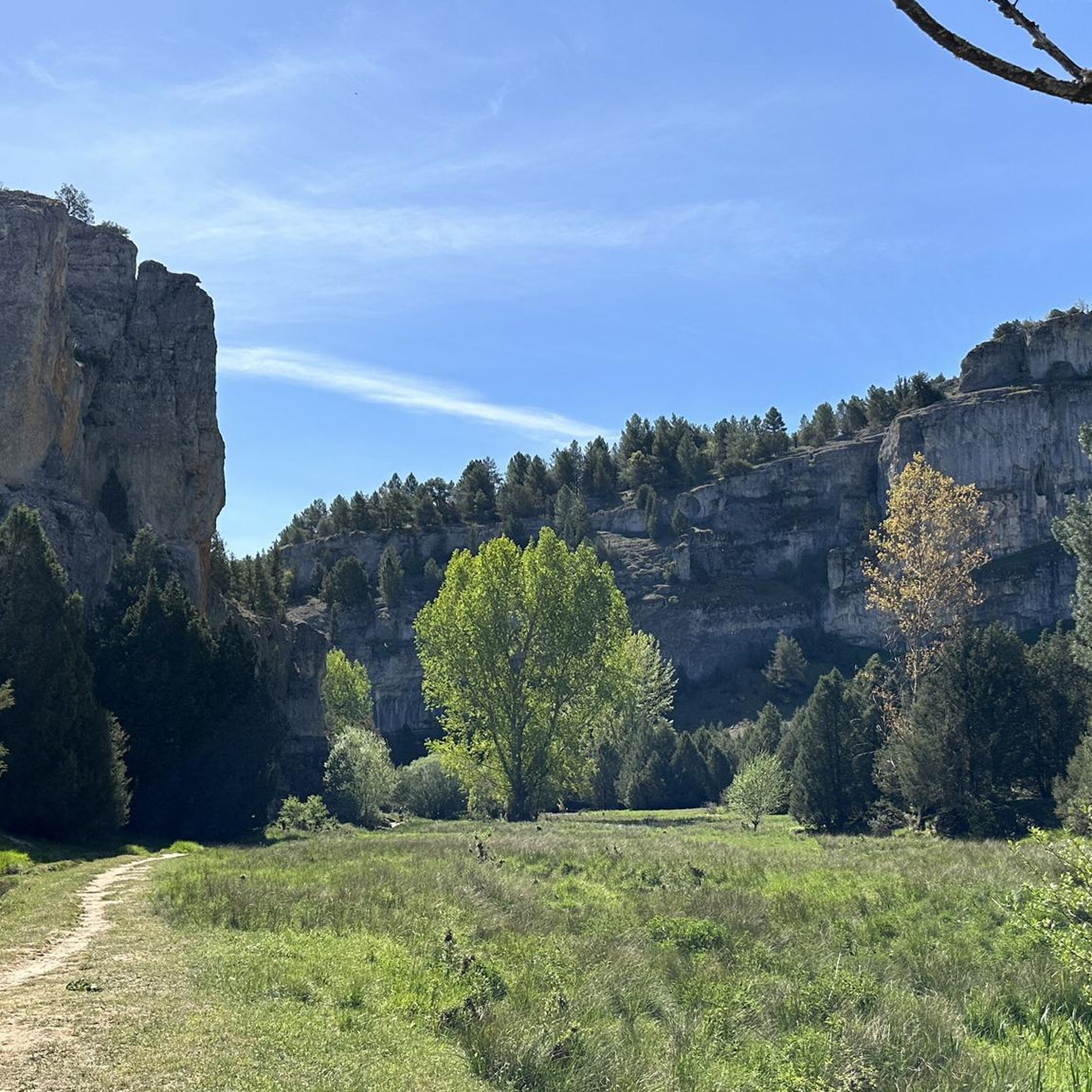
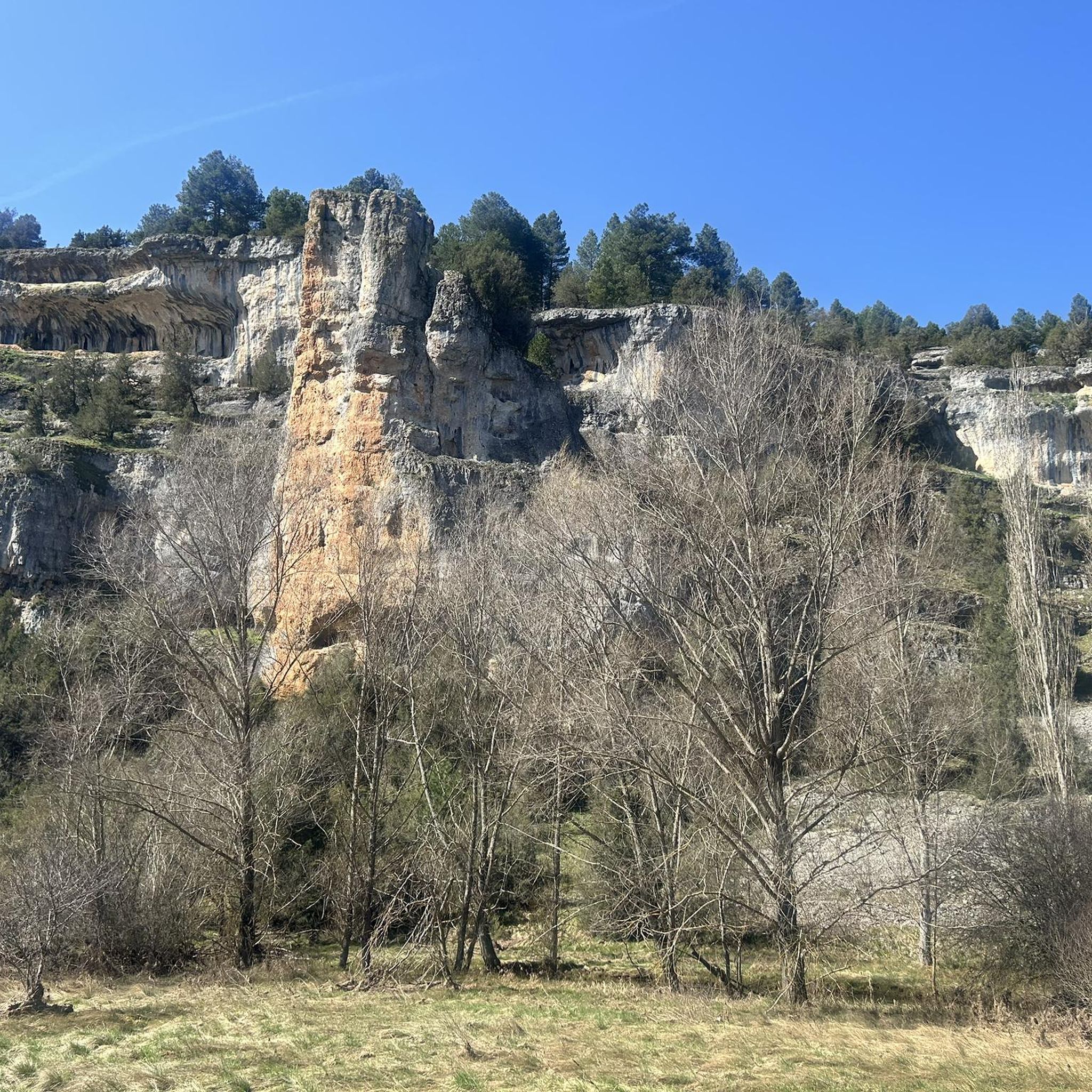
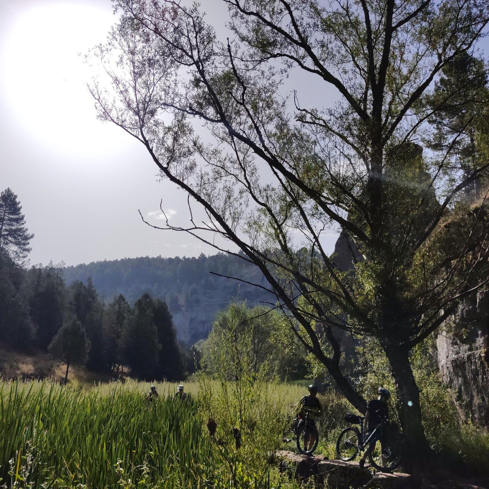
Touring cycling routes around Nafría De Ucero are situated within the Cañón del Río Lobos Natural Park, an area characterized by its deep river gorges and vertical limestone walls. The landscape features extensive pine and juniper forests, alongside a karstic terrain with natural springs. This region offers varied elevations, from riverbeds to more strenuous climbs through canyons and hills.
Best touring cycling routes around Nafría De Ucero
- The most popular touring cycling route is Cañón del Río Lobos Loop,…
Last updated: July 4, 2026
4.3
(3)
4
riders
41.6km
02:40
530m
530m
This difficult 25.8-mile touring cycling route from San Leonardo de Yagüe explores the stunning Cañón del Río Lobos Natural Park.
53
riders
49.3km
04:16
570m
570m
Hard bike ride. Very good fitness required. Mostly paved surfaces. Suitable for all skill levels.

Sign up for free
31
riders
64.2km
05:45
660m
660m
Hard bike ride. Very good fitness required. You may need to push your bike for some segments of this route.
5.0
(2)
16
riders
36.0km
02:38
410m
410m
Moderate bike ride. Good fitness required. Mostly paved surfaces. Suitable for all skill levels.
13
riders
Moderate bike ride. Good fitness required. Mostly paved surfaces. Suitable for all skill levels.
Get access to more routes and recommendations from other explorers.
Sign up for free
Already have an account?
Our route recommendations are based on thousands of hikes, rides, and runs completed by other people on komoot.
Start today with a free account
Your next adventure awaits.
Login or Signup

Tips from the Community

Spectacular area for hiking routes
0
0

Its church and the medieval bridge that separates it from El Burgo de Osma are particularly noteworthy.
0
0

Incredible place at the bottom of the gorges
0
0

Nice area for hiking and mountain biking trails
0
0
A beautiful village in the PINARES region, in the province of Soria
0
0
The large cave, a large cavity in an idyllic landscape, which is the surroundings of the hermitage of San Bartolomé
0
1
Frequently Asked Questions
What kind of terrain can I expect on touring cycling routes around Nafría De Ucero?
The touring cycling routes in Nafría De Ucero are primarily located within the Cañón del Río Lobos Natural Park. You'll encounter a diverse landscape featuring spectacular vertical limestone walls, deep river gorges, and extensive pine and juniper forests. The terrain is karstic, meaning it includes numerous caves, chasms, sinkholes, and natural springs. Routes vary from paths along riverbeds to more strenuous climbs through canyons and hills, offering a rewarding experience for different skill levels.
Are there any easy touring cycling routes suitable for beginners in Nafría De Ucero?
Yes, while many routes in the area are moderate to difficult, there is at least 1 easy touring cycling route available. The network offers options for different ability levels, ensuring that beginners can also find suitable paths to explore the scenic beauty of Nafría De Ucero.
What are some notable natural features or viewpoints I can discover while cycling in the area?
The region is rich in natural beauty. You can cycle past the dramatic limestone formations of the Cañón del Río Lobos Natural Park. For panoramic views, consider visiting the Gullurías Viewpoint. The park also features notable caves like Cueva Grande, which are steeped in local legends.
Are there any historical or cultural landmarks accessible by touring bike near Nafría De Ucero?
Absolutely. A significant historical landmark is the mysterious Hermitage of San Bartolomé, a 13th-century Romanesque and Gothic structure located at the entrance of the Cañón del Río Lobos Natural Park. Its isolated setting and architectural symbols hint at a possible Templar past. Nearby, in Ucero, you can also find the impressive Ucero Castle, a medieval fortress offering views of the rivers and canyon.
What do other touring cyclists say about the routes in Nafría De Ucero?
The touring cycling routes in Nafría De Ucero are highly regarded by the komoot community, with an average rating of 4.8 stars from over 10 reviews. Cyclists often praise the stunning canyon views, the diverse terrain, and the opportunity to explore both natural wonders and historical sites.
Are there any circular touring cycling routes available?
Yes, many routes in the area are designed as loops. For example, the Cañón del Río Lobos Loop is a popular difficult route covering 25.8 miles (41.6 km) with significant elevation gain through the canyon landscape, offering a complete circular experience.
What is a good moderate-difficulty touring cycling route in the region?
For a moderate challenge, you could try the San Leonardo de Yagüe – San Leonardo de Yagüe loop from San Leonardo de Yagüe. This route covers approximately 19.2 miles (30.8 km) and features a manageable elevation gain, making it a great option for those looking for a balanced ride.
How long do touring cycling routes typically take to complete in Nafría De Ucero?
The duration varies significantly depending on the route's distance and difficulty. For instance, a difficult route like the El Burgo de Osma – Atalaya de Quintanilla loop from Ucero, which is 39.9 miles (64.1 km) long, typically takes around 5 hours 45 minutes to complete. Shorter, moderate routes will naturally take less time.
Can I find routes that explore the wider regional landscape beyond the immediate canyon?
Yes, some routes extend further into the regional landscape. The Boca del Ocejo – CP1B - DESERTUS 25 loop from Casarejos is a challenging 30.7 miles (49.3 km) path that traverses varied terrain with notable ascents, offering a broader exploration of the area surrounding Nafría De Ucero.
What is the best time of year for touring cycling in Nafría De Ucero?
The Cañón del Río Lobos Natural Park, where Nafría De Ucero is located, offers beautiful scenery throughout much of the year. Spring and autumn generally provide the most pleasant temperatures for cycling, with lush landscapes in spring and vibrant colors in autumn. Summers can be warm, while winters might bring colder temperatures and potentially some snow at higher elevations.
Are there options for longer, more challenging touring cycling routes?
Definitely. For experienced touring cyclists seeking a significant challenge, routes like the El Burgo de Osma – Atalaya de Quintanilla loop from Ucero offer a substantial ride of 39.9 miles (64.1 km) with considerable elevation changes, leading through diverse regional landscapes.
How many touring cycling routes are available in total around Nafría De Ucero?
There are a total of 26 touring cycling routes around Nafría De Ucero documented on komoot. This includes 1 easy, 11 moderate, and 14 difficult routes, providing a wide range of options for all skill levels.
Most popular routes around Nafría De Ucero
Most popular attractions around Nafría De Ucero

Get inspired with the komoot mobile app


Explore more
Browse the best Cycling routes in other regions.
