The best road cycling routes around Santa Colomba De Curueño
3.7
(6)
564
riders
21
rides
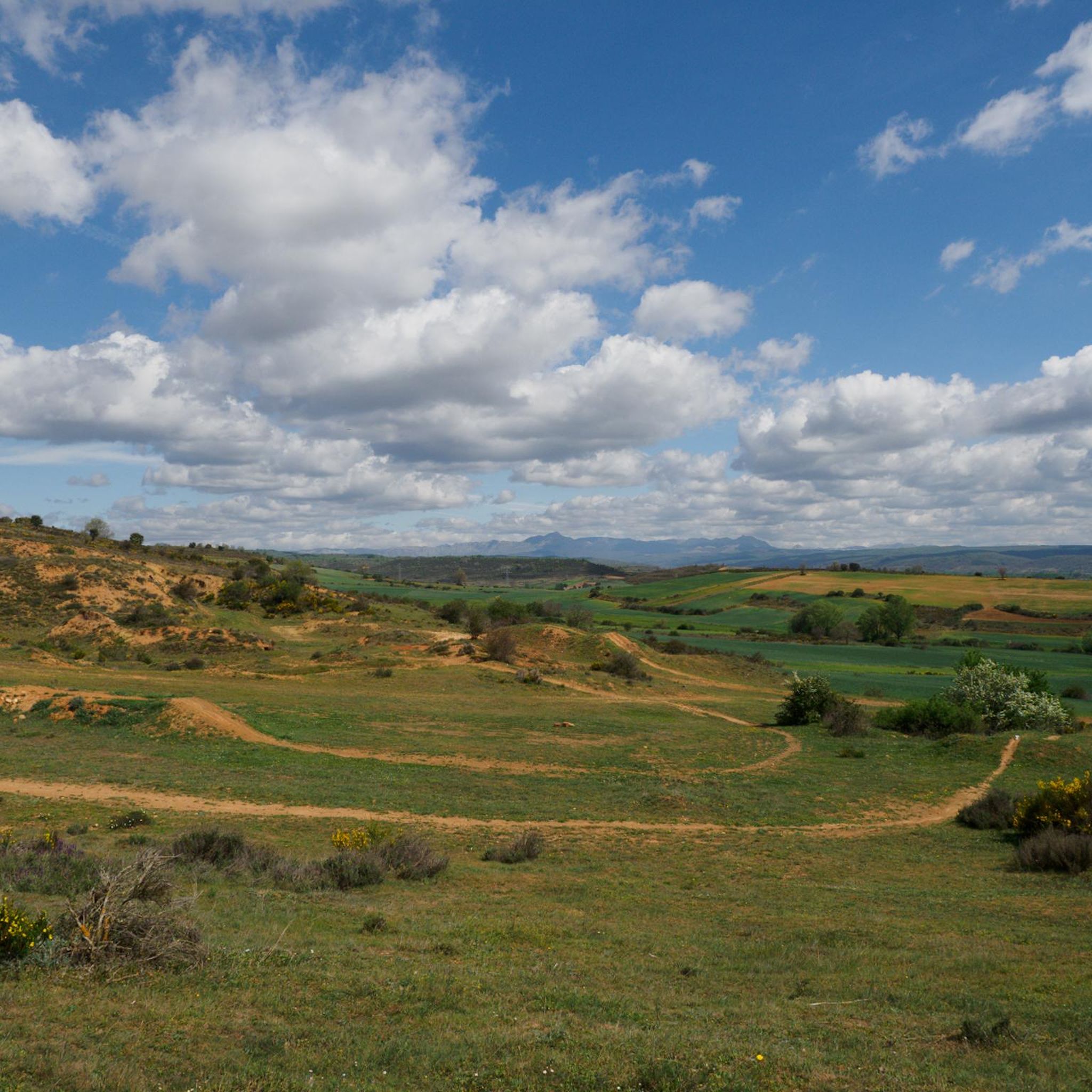
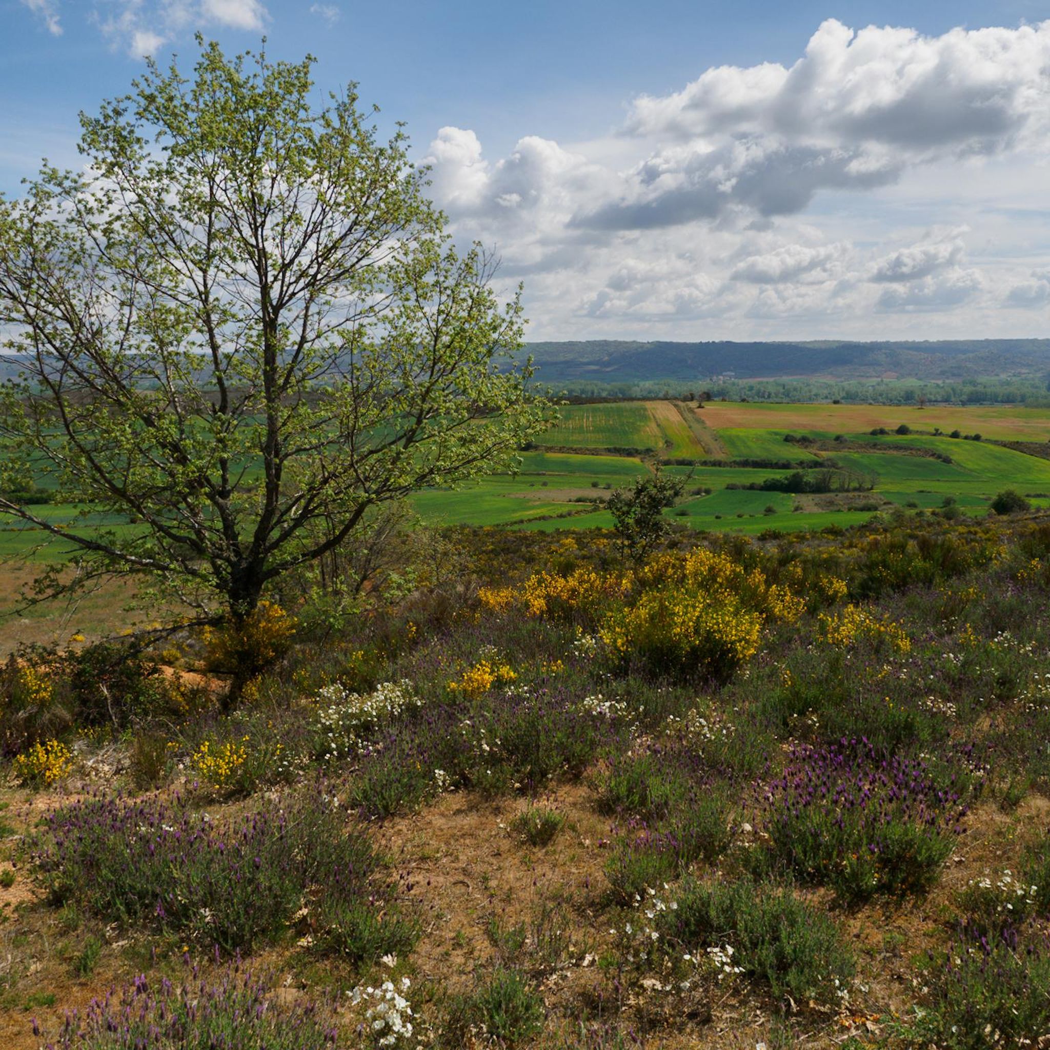
Road cycling around Santa Colomba de Curueño offers varied terrain within the Curueño River valley, situated in the province of León, Spain. The region is characterized by a narrow valley with expansive pastures, providing generally flat stretches alongside the river. Cyclists can also encounter more challenging ascents in the surrounding areas, including impressive natural formations like the Curueño Gorge. The landscape features extensive vegetation, including poplars, oaks, ash trees, and willows, contributing to a diverse cycling environment.
Best road cycling…
Last updated: July 15, 2026
64
riders
80.0km
03:26
630m
630m
Cycle 49.7 miles (80.0 km) on this moderate road route from Vegas del Condado, exploring rural León and historical sites like Palacio de los
36
riders
Moderate road ride. Good fitness required. Mostly well-paved surfaces and easy to ride.

Sign up for free
21
riders
65.5km
02:39
350m
350m
Moderate road ride. Good fitness required. Mostly well-paved surfaces and easy to ride.
20
riders
96.5km
04:31
1,240m
1,240m
Hard road ride. Very good fitness required. Mostly well-paved surfaces and easy to ride.
3.0
(1)
18
riders
71.5km
03:17
780m
780m
Moderate road ride. Good fitness required. Mostly well-paved surfaces and easy to ride.
Get access to more routes and recommendations from other explorers.
Sign up for free
Already have an account?
Our route recommendations are based on thousands of hikes, rides, and runs completed by other people on komoot.
Start today with a free account
Your next adventure awaits.
Login or Signup
Tips from the Community

Nocedo Waterfall, also known as Cola de Caballo Waterfall, is one of the most accessible and spectacular natural spots in the Central León Mountains, located near Nocedo de Curueño, in the municipality of Valdepiélago. Approximately 4 meters high, it was formed by the Valdecésar stream as it negotiates a steep drop on its way to the Curueño River.
4
0

La Collada de la Vid is a mountain pass located in the La Vid de Gordón area of León, Spain. It connects several villages and is part of historical and hiking trails in the area. Main features: • La Collada de la Vid is located near towns such as Buiza and Villasimpliz, and is part of traditional routes such as the Camino Real and the Northern Route of the Camino de Santiago to San Salvador de Oviedo. • In this area is the Hermitage of San Lorenzo, of historical and cultural significance, which opens its doors on August 10th for a pilgrimage. • The Las Colladas route from La Vid de Gordón is of medium difficulty, with a distance of approximately 12 km and an estimated time of 4 hours. • La Collada Villar, near La Vid, is a mountain pass with an ascent of about 3.3 km and an average gradient of about 7%, also used for cycling and hiking activities.
0
0
The Collada de Cármenes is a mountain pass located in the province of León, in the north-central area, near the town of Cármenes. Access and Routes • It can be ascended from two main slopes: • From Cármenes: 3.5 km route, with a vertical drop of 185 m and an average gradient of 5.24%. Maximum altitude: 1,337 m. • From Villamanín: 4.9 km route, a vertical drop of 200 m and an average gradient of 4.12%. Maximum altitude: 1,337 m
0
0
The Vegacervera Gorges are a protected natural area in the north of the province of León, Castile and León, Spain, near Asturias. • It is an impressive canyon carved by the Torío River, with limestone walls that exceed 100 meters in height and, in some sections, barely 15 meters wide. • The area encompasses municipalities such as Vegacervera, Cármenes, Matallana de Torío, and Valdepiélago.
0
0

Villamanín is a small town in the region of La Tercia on the N-630 national road. At the source of the Bernesga River on the valley route between León and Gijón.
1
0


Geologists group sedimented rocks into units called "formations", these are groups of rocks with a specific age and characteristics that can be recognized in the field and, therefore, represented on a geological map. Every formation has a reference outcrop, as representative and accessible as possible, known as a "stratotype." The stratotype of the La Vid Group is located in La Vid de Gordón, a set of four formations from the Devonian period that are named Felmin, La Pedrosa, Val Porquero and Coladilla. Each of them presents different types of rocks, as were the conditions in which they were formed. A tour of this stratotype. It allows us to verify that the Paleozoic seas were changing, due to the evidence that these changes have left in the rocks.
1
0

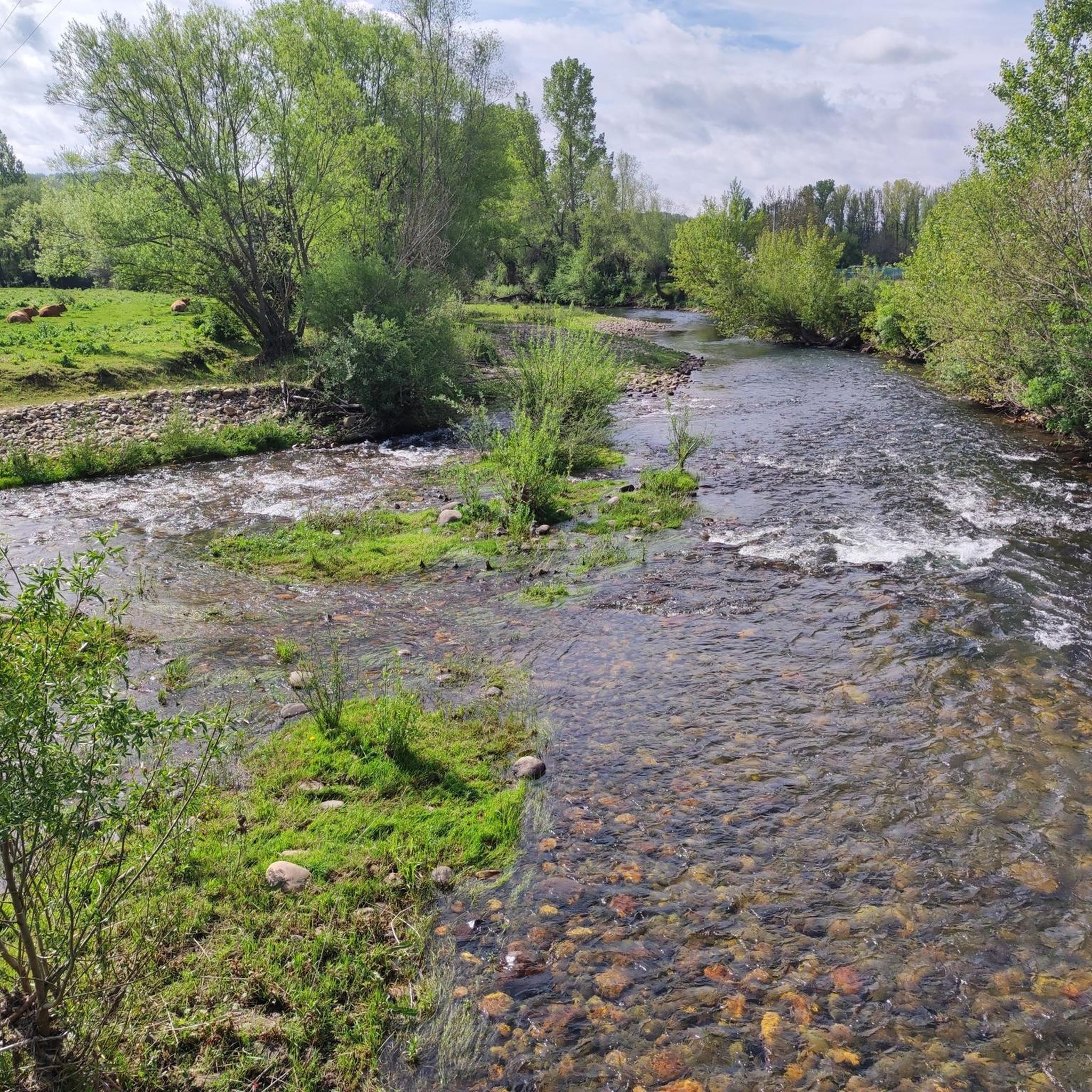
Quiet road that runs parallel to the Curueño River between Barrio de Nuestra Señora and La Vecilla
1
0
Frequently Asked Questions
What kind of terrain can I expect when road cycling around Santa Colomba de Curueño?
The region offers a diverse range of terrain. You'll find generally flat stretches alongside the Curueño River in its valley, which are ideal for leisurely rides. However, there are also more challenging ascents in the surrounding areas, including impressive natural formations like the Curueño Gorge, providing varied experiences for cyclists.
How many road cycling routes are available in Santa Colomba de Curueño?
There are over 20 road cycling routes available around Santa Colomba de Curueño, catering to various preferences and skill levels.
Are there road cycling routes suitable for different skill levels?
Yes, the area offers routes for all abilities. You can find 3 easy routes, 10 moderate routes, and 8 difficult routes, ensuring options for beginners, intermediate riders, and experienced cyclists looking for a challenge.
What natural features or landmarks can I see along the road cycling routes?
Road cycling routes often pass by significant natural and historical landmarks. You can encounter the dramatic Curueño Gorge and Valdepiélago Bridges, or the picturesque Nocedo Waterfall. Historical sites like the Matueca de Torío Church and the Medieval Tower of La Vecilla de Curueño also add cultural interest to your ride.
Are there any long-distance or challenging road cycling routes?
Yes, for those seeking a longer and more challenging ride, consider the Matueca de Torío Church – Hoces de Valdeteja loop from Matueca. This difficult route covers over 96 kilometers with significant elevation gain.
What is the best time of year for road cycling in Santa Colomba de Curueño?
The region's climate generally makes spring and autumn ideal for road cycling, offering pleasant temperatures and lush scenery. Summer can also be suitable, especially in the mornings or late afternoons, to avoid the midday heat.
Are there any circular road cycling routes?
Yes, many routes are designed as loops, allowing you to start and finish in the same location. Examples include the Vegacervera Gorge – Plaza Mayor of Villamanín loop from Robles de la Valcueva and the Boñar – Torreón de La Vecilla loop from Dytur.
What do other road cyclists enjoy the most about road cycling in Santa Colomba de Curueño?
The area is highly rated by the komoot community, with an average score of 3.8 stars. Cyclists often praise the varied terrain, from flat river valleys to challenging ascents, and the tranquil rural setting that provides a serene environment for rides.
Are there any routes that feature gorges or waterfalls?
Absolutely. The Vegacervera Gorge – Plaza Mayor of Villamanín loop from Robles de la Valcueva offers dramatic views of the Vegacervera Gorge. Additionally, the Nocedo Waterfall is a notable natural feature in the area that can be incorporated into or viewed from various routes.
Can you recommend a moderate-difficulty route that explores the river valleys?
For a moderate ride exploring the scenic river valleys, the Curueño and Torío Valleys Route is an excellent choice. It covers nearly 80 kilometers and offers beautiful views of the fluvial landscape.
Are there any routes that pass through rural landscapes?
Many routes in Santa Colomba de Curueño traverse tranquil rural landscapes. The Boñar – Torreón de La Vecilla loop from Dytur is a great example, leading you through the peaceful countryside.
What is the general atmosphere like for road cycling in this region?
Santa Colomba de Curueño is known for its peaceful rural setting, offering a tranquil environment away from urban bustle. This makes it an ideal destination for cyclists seeking a serene and immersive outdoor experience amidst natural beauty and historical charm.
Most popular routes around Santa Colomba De Curueño
Most popular attractions around Santa Colomba De Curueño

Get inspired with the komoot mobile app


Explore more
Browse the best Road cycling routes in other regions.
