The best walks and hikes around Saldaña
5.0
(3)
20
hikers
8
hikes
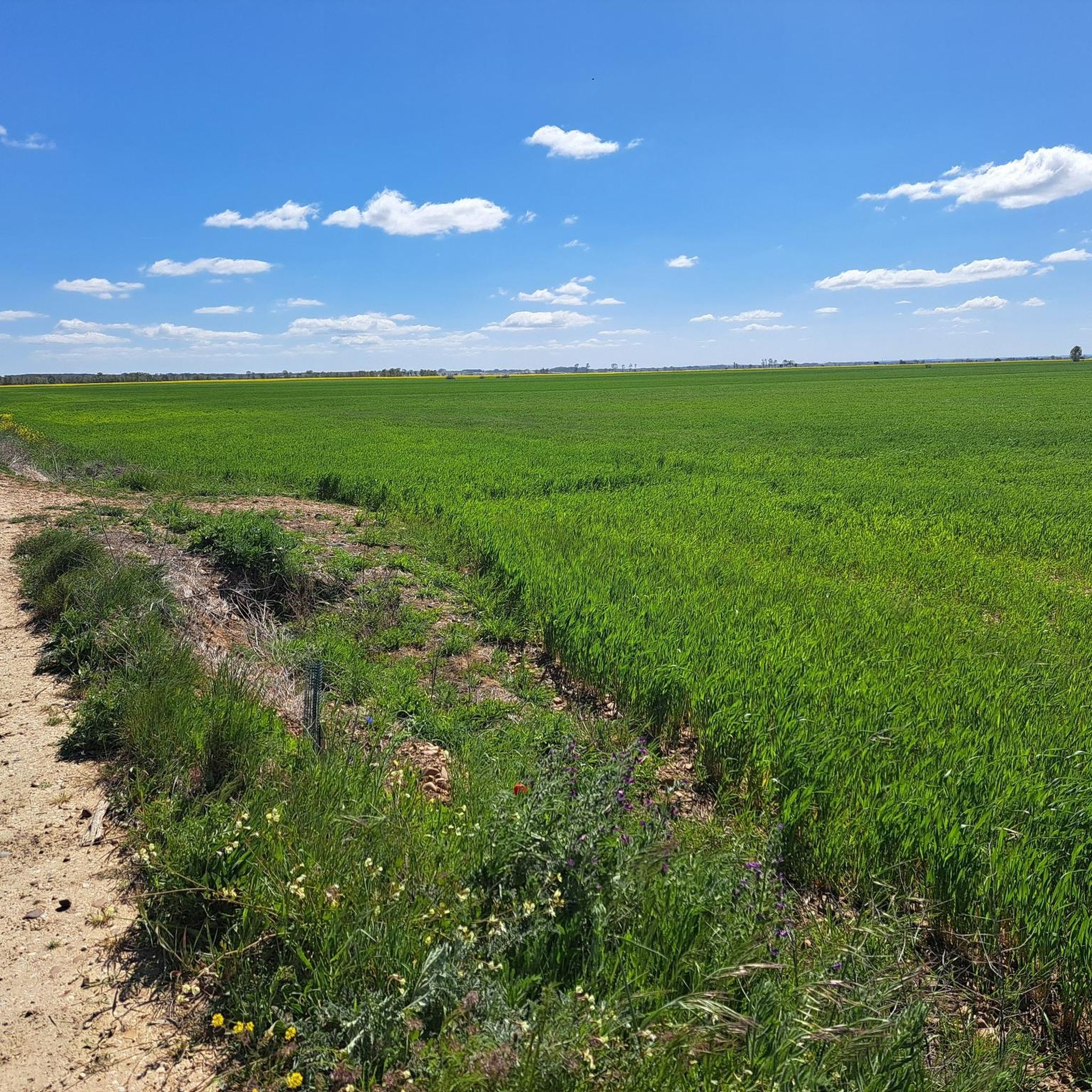
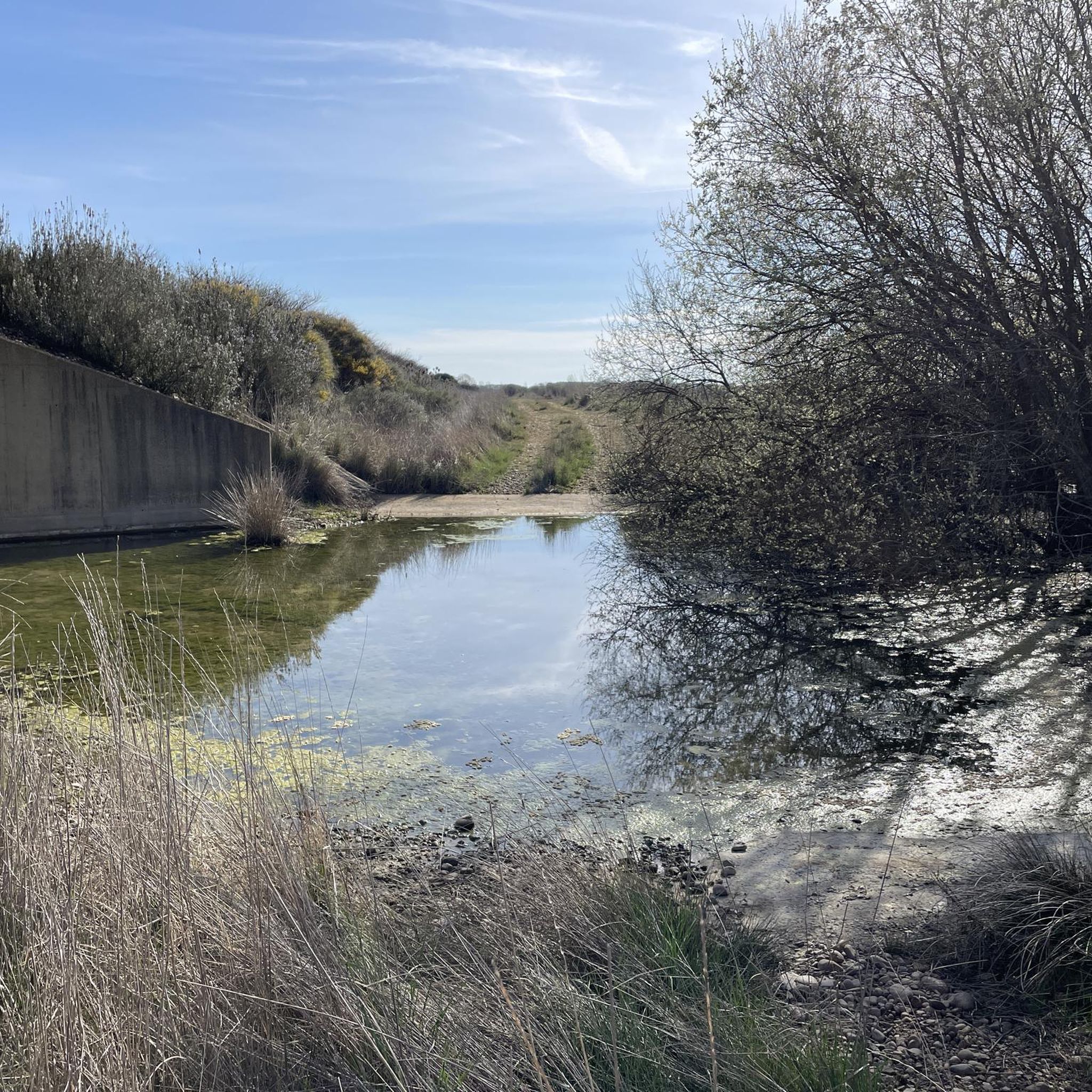
Hiking around Saldaña offers routes through varied landscapes, characterized by the Carrión River, agricultural plains, and gentle hills. The region features paths that explore local viewpoints and historical sites, providing a mix of natural and cultural experiences. Elevation gains are generally modest, making many trails accessible. The terrain primarily consists of riverine paths and open countryside.
Best hiking trails around Saldaña
- The most popular hiking route is Trail La vuelta del Merendero — desde Saldaña, a 4.5 miles (7.2…
Last updated: June 24, 2026
13
hikers
7.21km
01:57
100m
90m
Easy hike. Great for any fitness level. Easily-accessible paths. Suitable for all skill levels.
1
hikers
5.12km
01:19
20m
20m
Easy hike. Great for any fitness level. Easily-accessible paths. Suitable for all skill levels.

Sign up for free
5.0
(1)
2
hikers
6.71km
01:53
130m
130m
Easy hike. Great for any fitness level. Easily-accessible paths. Suitable for all skill levels.
5.0
(1)
1
hikers
12.4km
03:23
180m
180m
Hike a moderate 7.7-mile (12.4 km) circular route around Saldaña, exploring historic castle ruins and scenic meadows.
5.0
(1)
1
hikers
4.16km
01:09
70m
70m
Hike the easy Valcabadillo Viewpoint Loop, a 2.6-mile trail offering scenic vistas and panoramic views in Castilla y León.
Get access to more routes and recommendations from other explorers.
Sign up for free
Already have an account?
Our route recommendations are based on thousands of hikes, rides, and runs completed by other people on komoot.
Start today with a free account
Your next adventure awaits.
Login or Signup
Popular around Saldaña

Tips from the Community

Balcony viewpoint with privileged views over the upper plain of the Carrión River. Here we can enjoy spectacular views of the towns around the Carrión route and the Palentina Mountain. From here you can enjoy a beautiful sunset.
1
0
The sanctuary is a place of great significance for all the inhabitants of Saldaña and the spiritual center of the 25 towns in the region. The hermitage houses the small carving of the Virgin of the Valley and the relic of Blessed Oveco, monk of the Valcavado monastery.
2
0
Small town where it is worth seeing the fountain and old laundry.
2
0
Already 1 kilometer from Saldaña we can enjoy the pine forest. You can walk along various paths, but always with respect for the environment.
2
0
Without leaving too far from the town of Saldaña, we can enjoy a walk along the banks of the Carrión River, through a riverside forest with various accesses to the riverbed, in case we feel like cooling off or taking a bath.
2
0

Palencia town with a history closely related to the counts of Saldaña whose castle, although in ruins, can be visited.
1
0
Fortification of medieval origin that is in ruins. It is located on top of a hill next to the town of Saldaña offering privileged views of the town and its surroundings.
2
0
Frequently Asked Questions
How many hiking trails are there in Saldaña?
Saldaña offers a selection of 8 hiking routes, catering to various preferences. The majority, 6 of these, are considered easy, while 2 are moderate in difficulty.
Are there easy hiking trails suitable for beginners or families in Saldaña?
Yes, Saldaña is well-suited for beginners and families, with 6 out of 8 trails classified as easy. A great option is the Route along the Carrión River promenade — circular from Saldaña, which is 3.2 miles (5.1 km) long and follows the river through gentle landscapes.
Are there any moderate hiking trails for more experienced hikers in Saldaña?
For those seeking a moderate challenge, Saldaña offers 2 such trails. The Saldaña Castle and Virgen del Valle Sanctuary Trail is a notable option, covering 7.7 miles (12.4 km) and exploring historical landmarks with some elevation.
What is the typical length of hiking trails around Saldaña?
The hiking trails around Saldaña vary in length. For instance, the Valcabadillo Viewpoint Loop is about 2.6 miles (4.2 km), while the Saldaña Castle and Virgen del Valle Sanctuary Trail extends to 7.7 miles (12.4 km). Most trails fall within this range, offering options for shorter strolls or longer excursions.
Are there circular hiking routes available in Saldaña?
Yes, several circular routes are available, allowing you to start and end in the same location. An example is the Route along the Carrión River promenade — circular from Saldaña, which is a pleasant loop along the river.
What historical sites or attractions can I see while hiking in Saldaña?
Many trails in Saldaña incorporate local viewpoints and historical sites. You can explore the Saldaña Historic Town Center and Castle Ruins, visit the Church of San Pedro, or enjoy views from the Valcabadillo Viewpoint. The Saldaña Castle and Virgen del Valle Sanctuary Trail specifically highlights these types of landmarks.
What do other hikers say about the trails in Saldaña?
The hiking routes in Saldaña are highly regarded by the komoot community, holding an average rating of 5.0 stars from 2 reviews. Hikers often appreciate the varied landscapes, from riverine paths to open countryside, and the blend of natural beauty with historical points of interest.
What is the best time of year to go hiking in Saldaña?
The region's climate generally makes spring and autumn ideal for hiking in Saldaña. During these seasons, temperatures are milder, and the natural scenery, whether blooming or displaying autumnal colors, is particularly appealing. Summer can also be pleasant, especially in the mornings or late afternoons, but be prepared for warmer conditions.
Are dogs allowed on the hiking trails around Saldaña?
Generally, dogs are welcome on many of the hiking trails around Saldaña, especially those through open countryside and along river paths. However, it's always advisable to keep your dog on a leash, particularly near agricultural areas or wildlife, and to check for any specific local regulations or signage on individual routes.
Is parking available near the hiking trailheads in Saldaña?
Yes, parking is typically available in or near Saldaña town center, which serves as a common starting point for many routes. For trails that begin further afield, you can often find designated parking areas in nearby villages or at specific points of interest. It's recommended to check the tour details on komoot for specific parking information for your chosen route.
Can I reach hiking trails in Saldaña using public transport?
Saldaña is a small town, and while some regional bus services connect it to larger cities, direct public transport to specific trailheads outside the town center may be limited. Many trails are accessible directly from Saldaña itself, making it convenient if you arrive by bus. For routes further out, a car might be more practical.
What kind of gear or clothing should I wear for hiking in Saldaña?
Given the varied terrain of riverine paths and open countryside, comfortable walking shoes or light hiking boots are recommended. Layers of clothing are advisable to adapt to changing weather conditions, especially during spring and autumn. Don't forget sun protection, water, and a map or GPS device, such as the komoot app, for navigation.
Most popular routes around Saldaña
Most popular attractions around Saldaña

Get inspired with the komoot mobile app


Explore more
Browse the best Hikes in other regions.
