The best road cycling routes around Favara
4.8
(190)
7,396
riders
103
rides
Road cycling around Favara offers diverse landscapes, from picturesque bucolic farming areas to challenging mountainous terrain. The region features notable elevations such as Cozzo Boves and Monte Roccellitto, providing opportunities for climbs and descents. Many routes are on mostly paved surfaces, ensuring a smooth ride. The area is also characterized by natural reserves and forests like Bosco Granza, alongside coastal views.
Best road cycling routes around Favara
- The most popular road cycling route is Cullera to Dénia – Playa de…
Last updated: October 15, 2026
4.6
(5)
188
riders
41.3km
02:08
610m
610m
Moderate road ride. Good fitness required. Mostly well-paved surfaces and easy to ride.
55
riders
29.1km
01:20
180m
180m
Easy road ride. Great for any fitness level. Mostly well-paved surfaces and easy to ride.

56
riders
28.3km
01:09
60m
60m
Moderate road ride. Great for any fitness level. Some segments of this route may be unpaved and difficult to ride.
5.0
(1)
55
riders
34.8km
01:22
80m
80m
Easy road ride. Great for any fitness level. Mostly well-paved surfaces and easy to ride.
24
riders
46.8km
02:59
100m
100m
Moderate road ride. Good fitness required. Some segments of this route may be unpaved and difficult to ride.
Get access to more routes and recommendations from other explorers.
Already have an account?
Our route recommendations are based on thousands of hikes, rides, and runs completed by other people on komoot.
Start today with a free account
Your next adventure awaits.

Tips from the Community

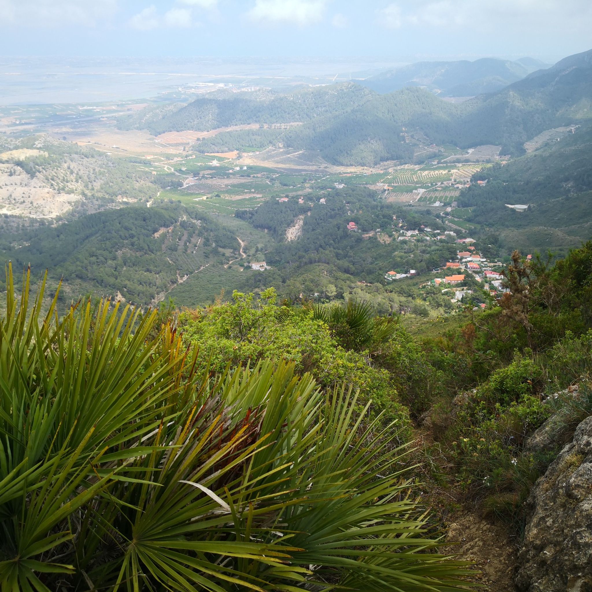
La Font de la Drova is a traditional fountain and washhouse surrounded by nature and mountains, located in the municipality of Barx (Valencia). The place stands out for its large, greenish-toned water basin and its historic supply facilities, making it an ideal and very popular point of interest among hiking and outdoor route enthusiasts.
0
0
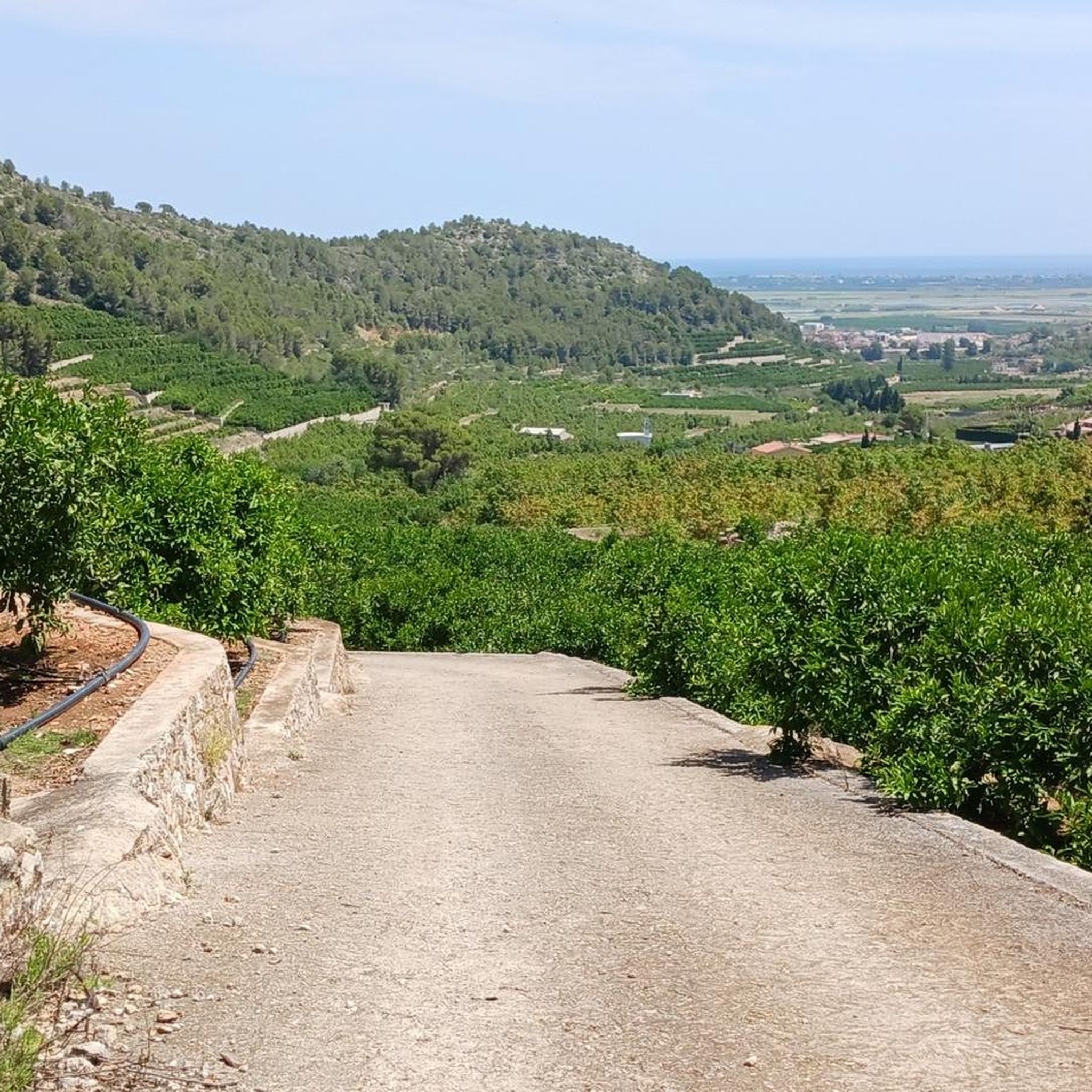
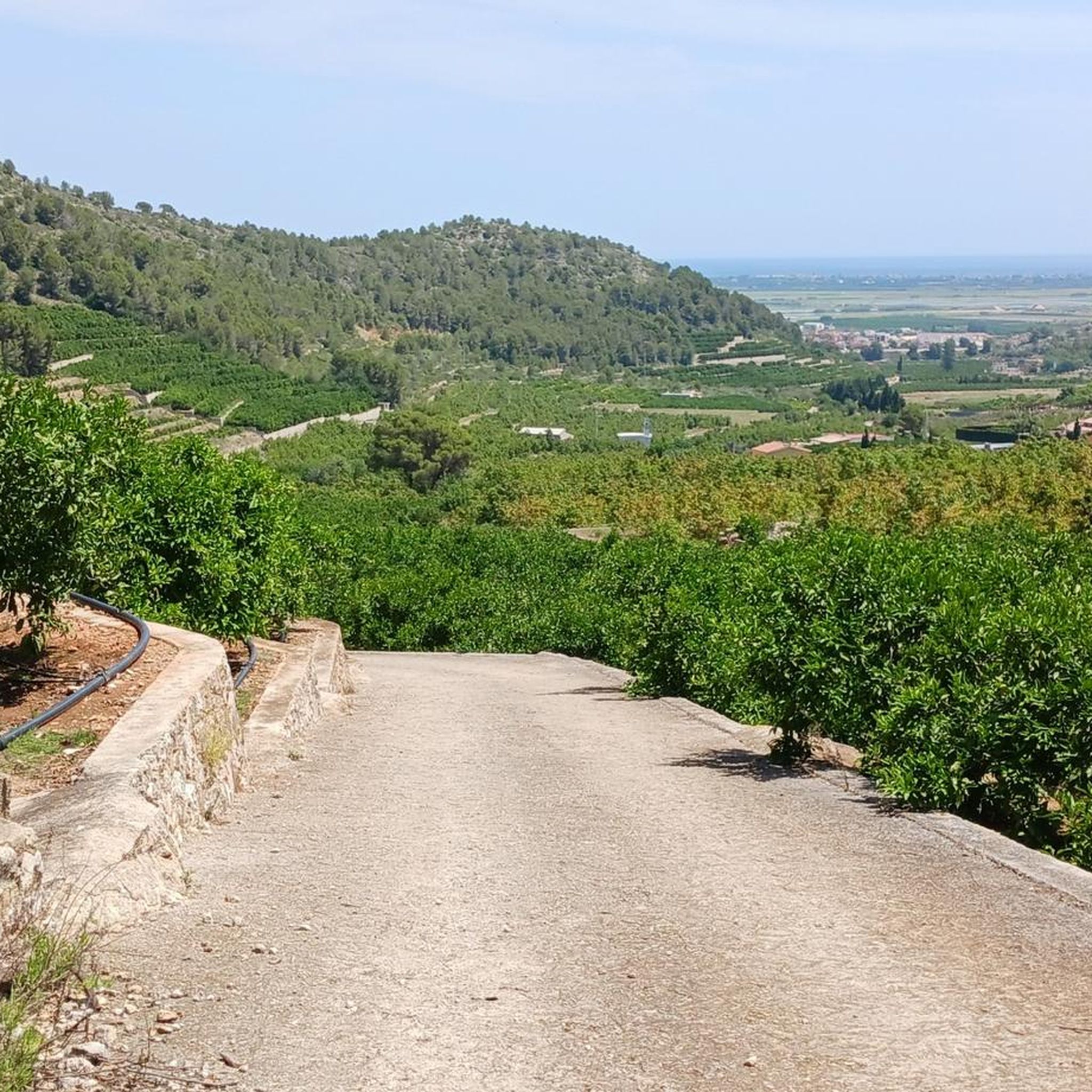
El Puerto de La Drova is a Valencian mountain pass located 382 meters above sea level on the CV-675 road between Gandía and Barx, famous for its beautiful views of the Mondúver surroundings and very popular with cyclists and hikers.
1
0

The port of Barx is a Valencian classic. Its horseshoe bends run over the panorama of the surrounding mountains and the Mediterranean coast.
3
0

Mareny Barraquetes (in Valencian and officially, Mareny de Barraquetes) is a minor local entity of the Valencian Community, Spain, belonging to the province of Valencia. Formerly a district of the municipality of Sueca, since 1999 it has been an entity of territorial scope below the municipality (EATIM) belonging to said municipal term. Mareny de Barraquetes is located in the heart of the Albufera natural park and next to the sea. The nearest towns are Sueca 7 km (kilometers) away, 28 km from Valencia and 9 km from Cullera. Its toponym mareny means ‘marshland’, that is, an area very close to the sea and easily flooded. For its part, the term barraquetes indicates the type of habitat that was frequent throughout the area, huts built with reeds and mud, materials from the marshes and the dune cordon. The historical origin of the first human settlements in this area dates back to the period of Roman domination, when the Phocaean colonies were established near Sicania, with El Mareny de Barraquetes being one of them. It survived through the centuries, as an alquería, thus reaching the first historical antecedents, which are found in the first census of inhabitants that was made in Sueca in 1795, by governmental order for the preparation of the conscription, as Spain was at war against Revolutionary France of the Directory (1793-1795). Likewise, until the 1845 census, we do not have a specific list of residents from El Mareny, with nine huts. Its inhabitants are mainly engaged in agriculture. In the last century, the population nucleus based its economy mainly on fishing. There were three fishing settlements where families lived who were dedicated to freshwater fishing (in the canals coming from the Júcar). Until recently, there was a fishing settlement where this work continued, but with modern facilities.
0
0

Lloc ideal per a gaudir d'un paisatge en 360º de la marjal que canvia de color al llarg de l'any en funció de les diferents fases del conreu de l'arròs.
2
0

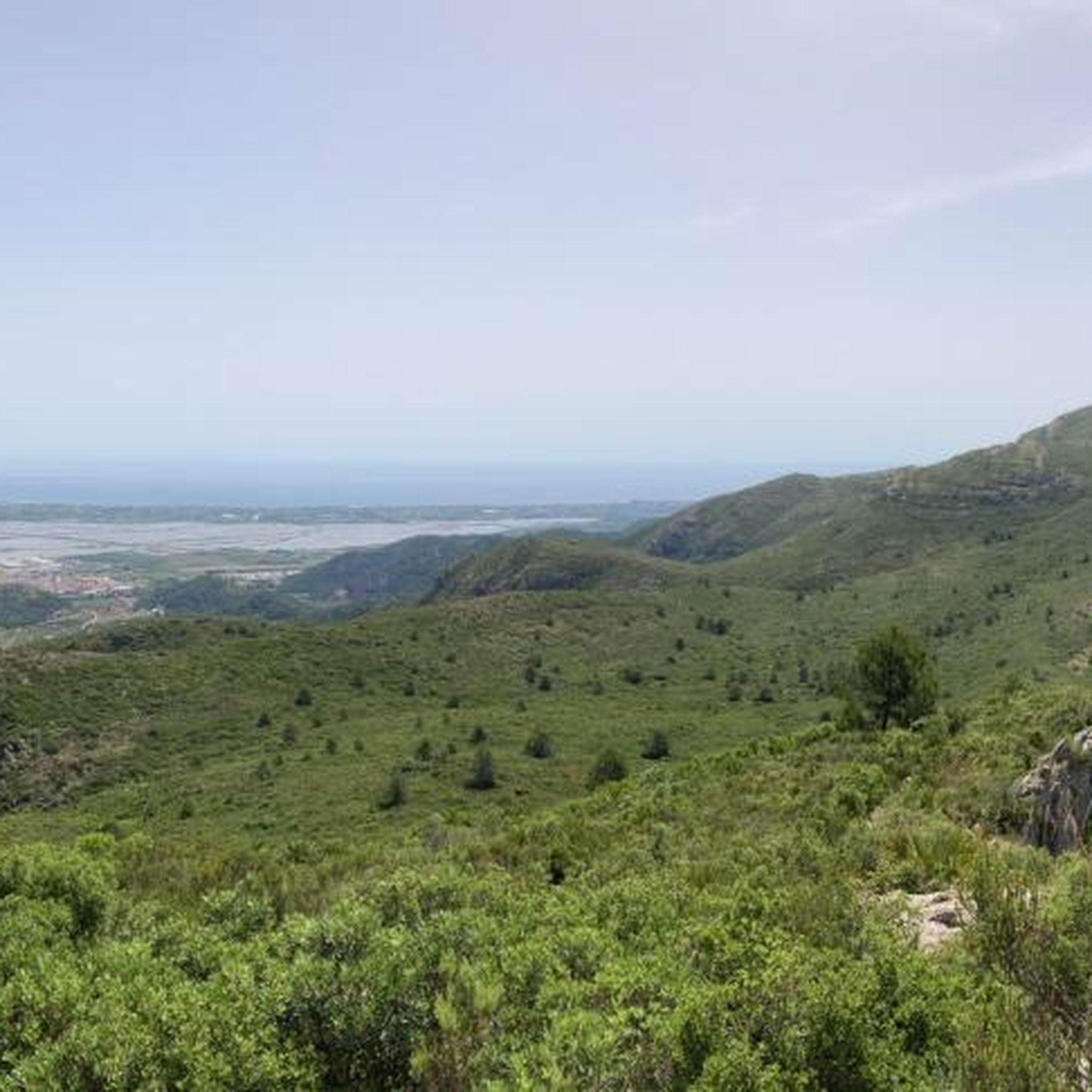
This is a magnificent vantage point from which you can appreciate, in addition to the flora and fauna typical of this area, the changing nature of the rice plain. A 27-meter-high relief of extraordinary environmental value and Mediterranean vegetation, it is a quintessential viewpoint of a vast rice plain. From there, you can enjoy splendid panoramic views of the Ribera Baixa, Ribera Alta, Horta Sud, southern Valencia, and even all our beaches. The area is signposted and also has a recreational area. You can climb (a ladder) from the front or via the surrounding ramp. It begins with a steep slope (approximately 10%) and ends the last few meters at 19%.
1
0
Frequently Asked Questions
How many road cycling routes are available around Favara?
There are over 100 road cycling routes around Favara, offering a wide range of options for different skill levels. You'll find approximately 19 easy routes, 71 moderate routes, and 13 challenging routes to explore.
What kind of terrain can I expect on road cycling routes in Favara?
Favara's road cycling routes feature diverse terrain, from picturesque bucolic farming areas and pastures to significant mountainous sections. You can expect to encounter notable elevations like Cozzo Boves and Monte Roccellitto, providing rewarding climbs and descents. Most surfaces are paved, ensuring a smooth ride.
Are there any easy road cycling routes suitable for beginners in Favara?
Yes, Favara offers several easy road cycling routes perfect for beginners or those seeking a relaxed ride. One popular option is the Cullera Lighthouse – Forn La Beata Inés loop from Cullera, an easy 22.3 km (13.9 miles) path that can typically be completed in under an hour.
What are some challenging road cycling routes near Favara?
For experienced cyclists looking for a challenge, routes around Favara include significant elevation gains. The La Visteta Viewpoint – Port de Barx loop from Platja de l'Estany is a moderate route that covers 55 km (34.2 miles) with over 550 meters of elevation gain, offering a substantial workout.
Can I find loop road cycling routes in Favara?
Yes, many road cycling routes around Favara are designed as loops, allowing you to start and end at the same point. An example is the Cullera to Dénia – Playa de Gandía loop from Tavernes de la Valldigna, a moderate 59.9 km (37.2 miles) route that takes about 2 hours and 20 minutes.
What natural attractions can I see along road cycling routes in Favara?
Favara's routes often pass through stunning natural landscapes. You can explore areas near the Bosco Granza forest, known for its undisturbed oak trees and Mediterranean flora. Some routes also offer picturesque coastal views. For specific natural highlights, consider exploring areas around Ullal Marsh of Les Penyetes or La Puigmola Spring.
Are there any historical landmarks or points of interest along the cycling routes?
Absolutely. The region is rich in history. While cycling, you might pass by historical landmarks such as the Chiaramonte Castle. The Castillo de Corbera – La Murta loop from Favara is a moderate 51.5 km (32 miles) route that offers a blend of natural beauty and historical context. Additionally, the UNESCO World Heritage site of the Valley of the Temples is a short distance away, featuring well-preserved Greek and Roman ruins.
What do other road cyclists say about the routes in Favara?
The road cycling routes in Favara are highly rated by the komoot community, with an average score of 4.8 stars from over 190 reviews. More than 6,300 road cyclists have used komoot to explore the varied terrain, often praising the diverse landscapes and well-maintained paved surfaces.
What is the best time of year for road biking in Favara?
Favara offers good cycling conditions for much of the year. Spring and autumn generally provide pleasant temperatures for road biking. While summer can be warm, coastal routes or early morning rides are still enjoyable. Winter conditions are typically mild, allowing for year-round cycling, though it's always wise to check local weather forecasts.
Are there any routes that offer scenic viewpoints?
Yes, many routes in the Favara area provide stunning scenic viewpoints, especially those that climb into the mountainous terrain or follow the coast. The Collado del Infierno Viewpoint and Barranc de Noguera Viewpoint are notable spots where you can pause and enjoy panoramic views.
Are there any cultural attractions near the cycling routes?
Beyond the historical sites, Favara is home to the unique Farm Cultural Park in its historic center. This innovative urban regeneration project transforms abandoned houses into an open-air contemporary art and cultural hub, offering a distinct cultural experience off the bike. You can find more information about it on visitsicily.info.
What is the typical duration for a moderate road cycling route in Favara?
Moderate road cycling routes in Favara vary in length and elevation, but many can be completed within a few hours. For instance, the Agost Sculpture – Cullera Lighthouse loop from Cullera, a 52.2 km (32.4 miles) moderate trail, typically takes about 2 hours and 16 minutes.
Most popular attractions around Favara

Get inspired with the komoot mobile app


Explore more
Browse the best Road cycling routes in other regions.
