The best MTB trails around Fortaleny
4.3
(729)
1,095
riders
106
rides
Mountain biking around Fortaleny offers routes through the flat plains of the Valencian Community, often following the course of the Rio Júcar. The terrain is characterized by riverine landscapes, agricultural areas, and proximity to the coast, providing varied scenery for riders. Elevation changes are generally gentle, though some routes include moderate climbs. The region's network of trails connects small towns and natural features, making it suitable for exploring the local environment on two wheels.
Best mountain bike trails around Fortaleny
…Last updated: October 10, 2026
4.8
(20)
56
riders
32.8km
02:00
340m
340m
Moderate mountain bike ride. Good fitness required. Suitable for all skill levels.
3.5
(2)
21
riders
64.1km
03:31
60m
60m
Moderate mountain bike ride. Good fitness required. Suitable for all skill levels.

3.0
(1)
19
riders
87.6km
06:03
830m
830m
Hard mountain bike ride. Very good fitness required. Suitable for all skill levels.
3.0
(1)
16
riders
43.9km
02:41
300m
300m
Moderate mountain bike ride. Good fitness required. Suitable for all skill levels.
4.4
(8)
16
riders
39.7km
02:33
430m
430m
Hard mountain bike ride. Good fitness required. Advanced riding skills necessary. Some portions of the route may require you to push your bike.
Get access to more routes and recommendations from other explorers.
Already have an account?
Our route recommendations are based on thousands of hikes, rides, and runs completed by other people on komoot.
Start today with a free account
Your next adventure awaits.


Tips from the Community

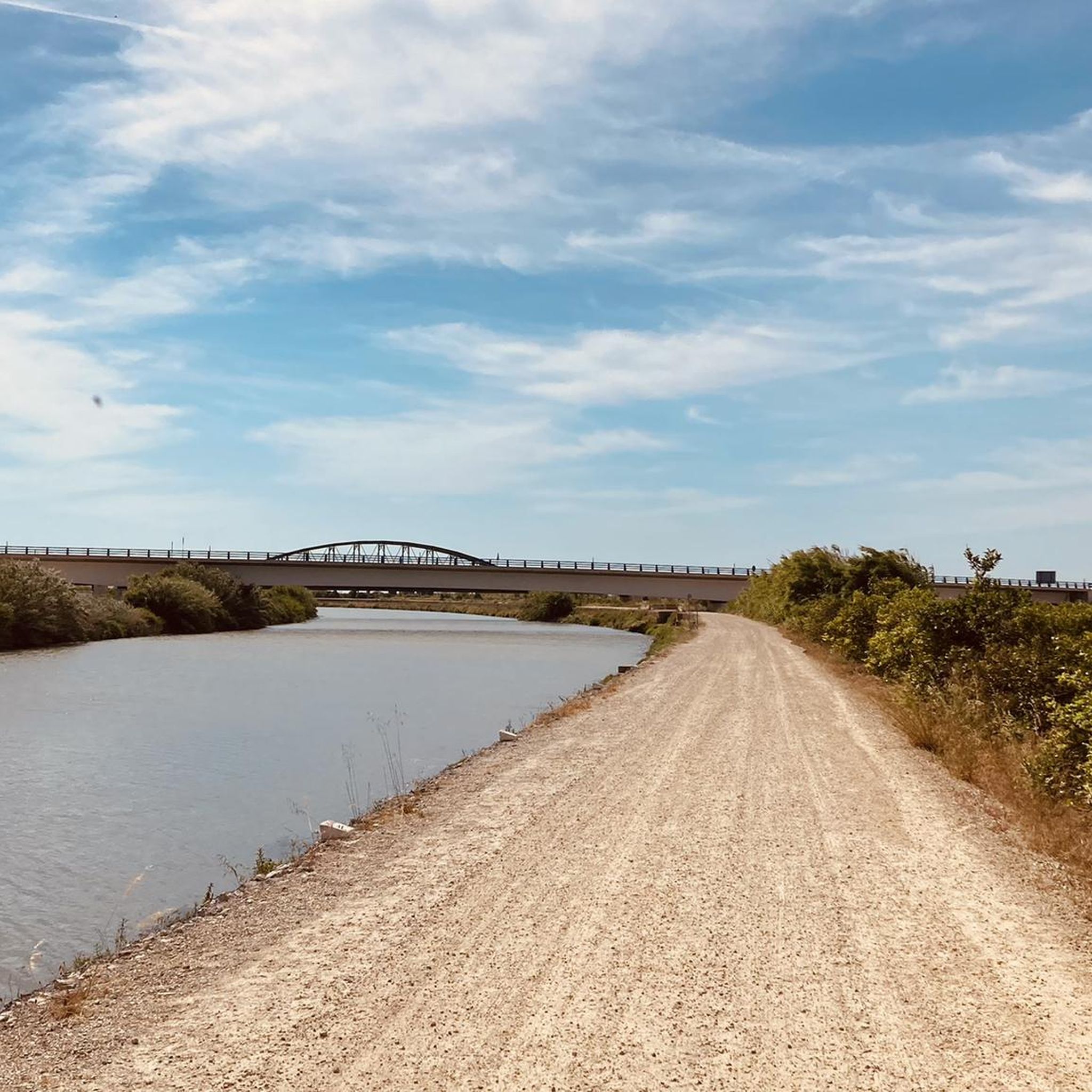
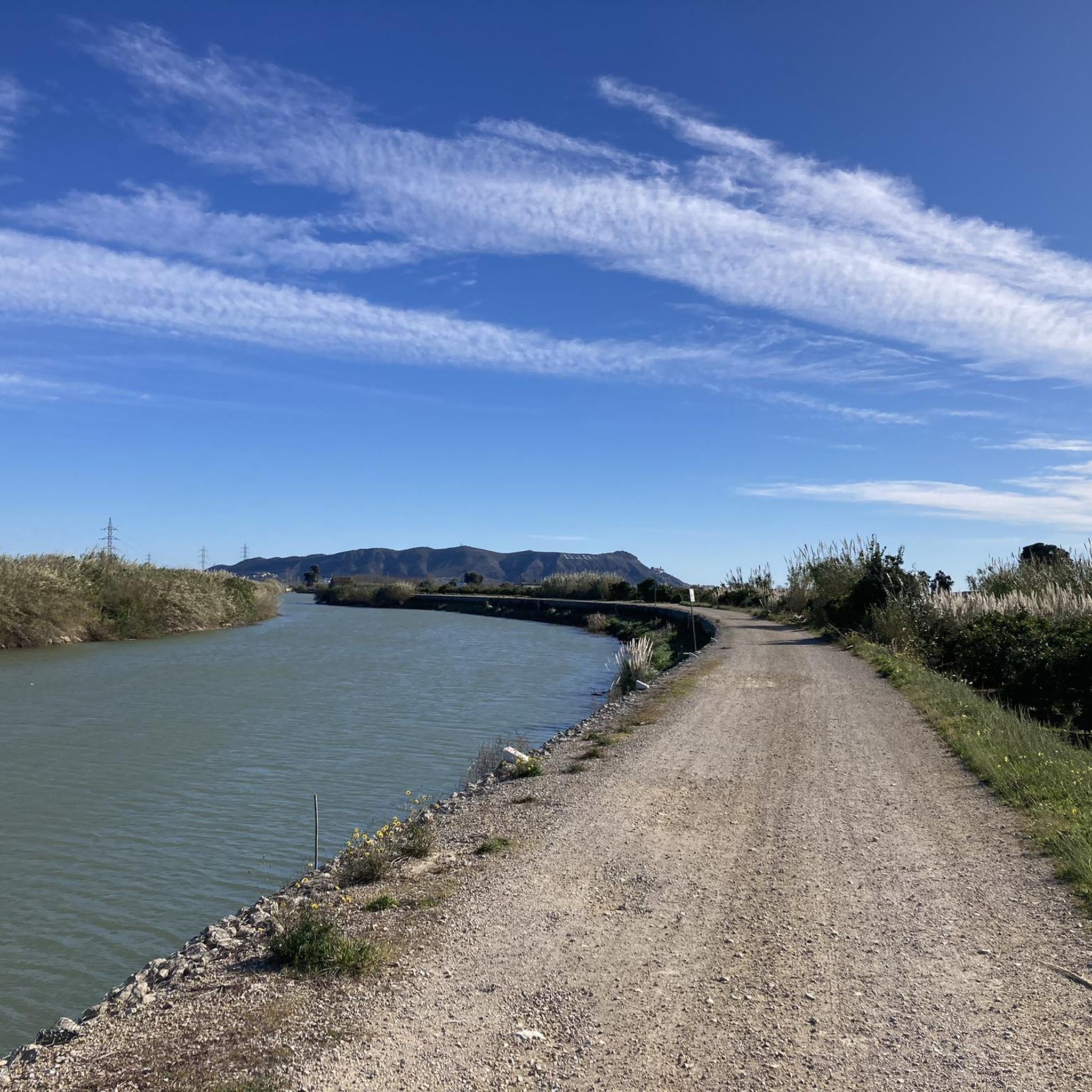
La ruta per la mota dreta del riu transcorre entre les cases del poble i el propi riu.
1
0
Cal respectar estes zones delimitades per a la recuperació de la flora dunar.
1
0
El Palmar és un barri i pedania de la ciutat de València pertanyent al districte dels Pobles del Sud. Té censats aproximadament 750 habitants. Està situat al sud de l'Albufera, en una antiga illa delimitada per la Sequiota, la séquia de Junsa al nord-est, el mateix llac i la séquia vella de la Reina per l'oest, i la vella del Palmar pel sud.
1
0

The Albufera lake was formed by the sinking of an approximately 30 km long coastal strip. The saltwater lake then became a freshwater lake due to the inflows. In the Estany del Pujol lagoon you can observe various water birds.
2
1

A tough climb, initially on a paved road, but the final section is unpaved. There's a chain blocking motor vehicles, but you can easily cross by bike or on foot.
0
0

Bike path, overlooking the beach and with several restaurants where you can have a drink while enjoying the views.
2
0

Frequently Asked Questions
How many mountain bike trails are available around Fortaleny?
Fortaleny offers a wide selection of mountain bike trails, with over 100 routes recorded on komoot. These routes cater to various skill levels, from easy to difficult.
Are there easy mountain bike trails suitable for beginners in Fortaleny?
Yes, Fortaleny has a good number of easy trails, with 44 routes categorized as easy. These routes typically feature gentle terrain through riverine landscapes and agricultural areas, making them ideal for beginners or those seeking a relaxed ride.
What kind of terrain can I expect on mountain bike trails in Fortaleny?
The terrain around Fortaleny is primarily characterized by the flat plains of the Valencian Community, often following the course of the Rio Júcar. You'll encounter riverine landscapes, agricultural fields, and areas close to the coast. While elevation changes are generally gentle, some routes do include moderate climbs.
Are there any challenging mountain bike trails for advanced riders?
Yes, for advanced riders seeking a challenge, there are 21 difficult mountain bike routes available. One such route is the Azud de Riola – Riola (Rio Júcar) loop from Sueca, which is 52.9 miles (85.2 km) long and features significant elevation gain, following the Rio Júcar for extensive riverside riding.
Are there loop mountain bike trails in Fortaleny?
Many of the mountain bike trails in Fortaleny are designed as loops, allowing you to start and finish at the same point. An example is the La Raconada Iron Bridge – Cullera Lighthouse loop from Sueca, which offers a moderate 33.3 miles (53.5 km) ride combining river crossings with coastal views.
What are some scenic viewpoints or attractions along the mountain bike routes?
While riding, you can enjoy views of the Rio Júcar and coastal vistas towards the Cullera Lighthouse. Some routes, like the La Raconada Iron Bridge – La Mediterrania Viewpoint loop from Sueca, specifically lead to viewpoints. Additionally, you might encounter natural highlights such as Font del Garrofer or the Cova de la Galera.
What do other mountain bikers enjoy most about Fortaleny?
The mountain bike trails around Fortaleny are highly rated by the komoot community, with an average score of 4.2 stars from over 150 reviews. Riders often praise the varied scenery, which includes river valleys, agricultural plains, and coastal proximity, as well as the well-connected network of trails.
When is the best time of year to go mountain biking in Fortaleny?
Given its location in the Valencian Community, Fortaleny generally offers pleasant conditions for mountain biking for much of the year. Spring and autumn typically provide mild temperatures, making them ideal. Summers can be hot, so early morning or late afternoon rides are recommended, while winters are usually mild.
Are there any long-distance mountain bike trails in the area?
Yes, Fortaleny offers several longer routes for those looking for extended rides. The Azud de Riola – Riola (Rio Júcar) loop from Sueca, for example, is a substantial 52.9 miles (85.2 km) trail, providing a full day of riding along the river.
Can I find mountain bike trails that are less crowded?
While popular routes can see more traffic, the extensive network of over 100 trails around Fortaleny means you can often find quieter paths, especially on weekdays or by exploring some of the less-known routes that connect smaller towns and natural features away from the main river paths.
Are there options for family-friendly mountain biking in Fortaleny?
Yes, with 44 easy routes, Fortaleny is suitable for family-friendly mountain biking. These trails typically have gentle gradients and stable surfaces, making them accessible for riders of varying ages and skill levels. Look for routes that stick to the flatter river plains and agricultural areas.
How can I check the current conditions of the mountain bike trails?
For current trail conditions, it's always best to check local weather forecasts before your ride. Additionally, you can often find recent updates or comments from other riders on komoot tour pages or local cycling forums, which can provide insights into trail surface conditions, especially after rain.
Most popular routes around Fortaleny
Most popular attractions around Fortaleny

Get inspired with the komoot mobile app


Explore more
Browse the best MTB trails in other regions.
