The best walks and hikes around La Font D'En Carròs
4.4
(493)
2,118
hikers
23
hikes
Hiking around La Font D'En Carròs offers diverse landscapes, from serene river walks to mountainous terrain. The region features pine groves, ancient olive and carob tree crops, and elevated points providing views of the Serpis valley. Hikers can explore trails that traverse varied topography, including hills and natural features like the Sima Blanca.
Best hiking trails around La Font D'En Carròs
- The most popular hiking route is Assagadors and Covatelles Summit Trail, a 3.9 miles (6.2 km) trail that…
Last updated: July 7, 2026
4.7
(37)
98
hikers
6.22km
02:08
280m
270m
Hike the moderate 3.9-mile Ruta dels Assagadors i Cim de Covatelles (PR-CV 347) for panoramic views and historic paths.
3.9
(9)
16
hikers
3.38km
01:09
100m
100m
Hike the difficult 2.1-mile Castell de Rebollet Trail (SL-CV 60) to explore historic castle ruins and enjoy panoramic views.

Sign up for free
4.6
(5)
19
hikers
7.48km
02:41
350m
350m
Moderate hike. Good fitness required. Mostly accessible paths. Sure-footedness required.
17
hikers
Moderate hike. Good fitness required. Mostly accessible paths. Sure-footedness required.
5.0
(1)
11
hikers
5.67km
01:52
240m
240m
Moderate hike. Great for any fitness level. Mostly accessible paths. Sure-footedness required.
Get access to more routes and recommendations from other explorers.
Sign up for free
Already have an account?
Our route recommendations are based on thousands of hikes, rides, and runs completed by other people on komoot.
Start today with a free account
Your next adventure awaits.
Login or Signup
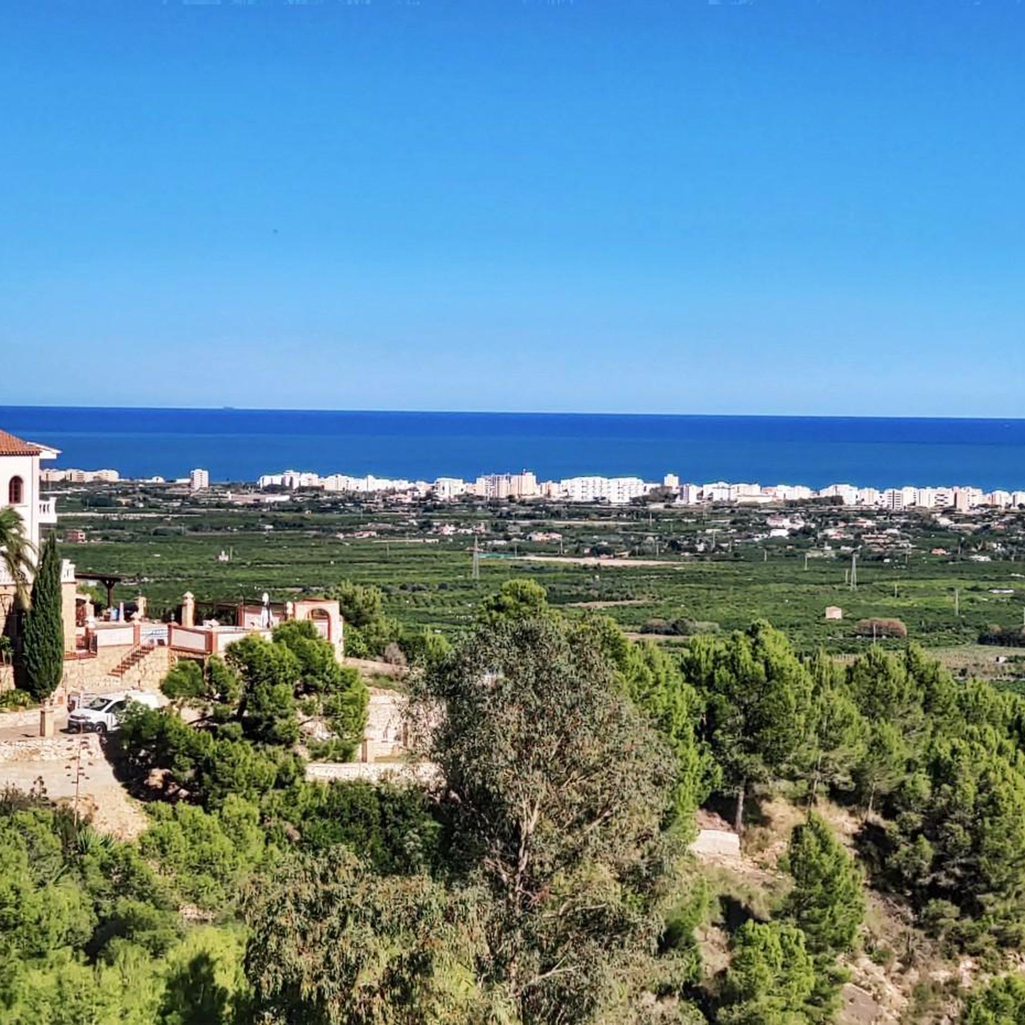
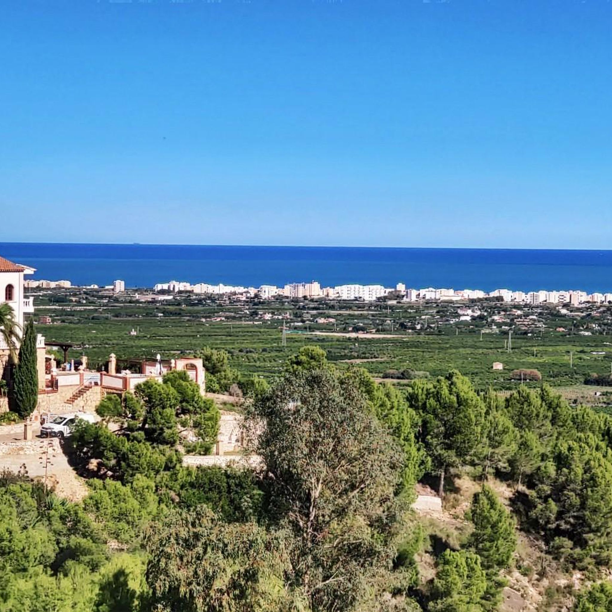
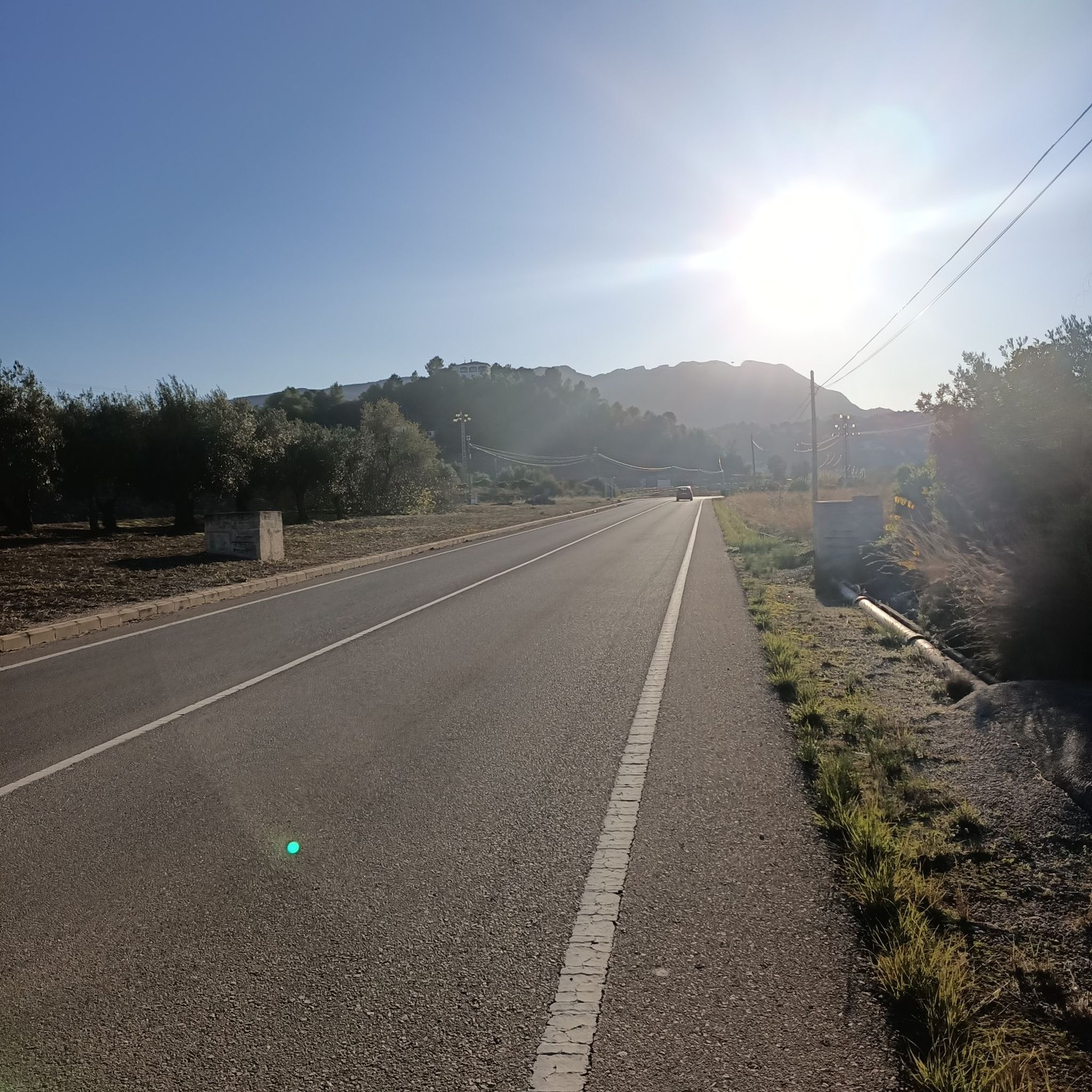

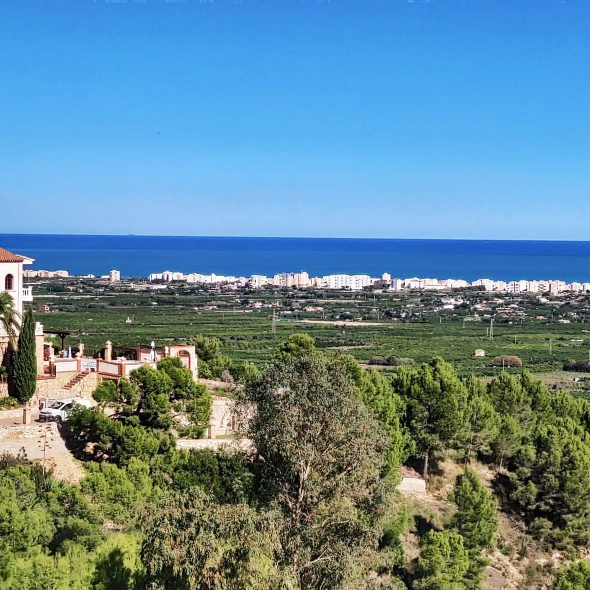
Tips from the Community

The start of the hike is a bit frightening due to the location (rainwater drainage basins and dog excrement), but after 500 m you go into nature. The hike is well signposted and easy to do with sturdy shoes.
2
1

The Sima Blanca is a tectonic cave. Entry only with specialized equipment. But if you are walking along the SL-CV 60 path, you will fall in love with the surrounding views.
1
0
Although only ruins remain of the Rebollet castle, I am sure you will like it if you are a castle fan. Furthermore, from the hill where this castle is located you have privileged views of the Serpis valley. The climb to the castle is easy to access.
2
0
Here you will find the signs for the detour that you can take if you want to go up Cati. In this case you have to go east.
1
0
The PR-CV 347 trail is a route with great scenic value. Enjoy the experience on this perfectly marked trail.
0
0
This part of the trail on route PR-CV 347 is full of large rocks, so be very careful, especially after rain or during periods of high humidity. Enjoy the lush vegetation and shade.
1
0

The PR-CV 347 trail, known as Ruta dels Assagadors and Cim de Covatelles, is a beautiful trail located in the Font d'en Carròs.
12
0
Frequently Asked Questions
How many hiking trails are available in La Font D'En Carròs?
There are over 20 hiking routes around La Font D'En Carròs, offering a variety of experiences from moderate paths to more challenging ascents. The komoot community has mapped 23 tours in total.
What kind of terrain can I expect on hikes around La Font D'En Carròs?
The region offers diverse landscapes, ranging from serene river walks to mountainous terrain. You'll find trails traversing pine groves, ancient olive and carob tree crops, and elevated points providing breathtaking views of the Serpis valley and the Mediterranean Sea. Expect varied topography, including hills and natural features like the Sima Blanca.
Are there any easy hiking trails suitable for beginners in La Font D'En Carròs?
Yes, while many routes are moderate, there is at least one easy trail available. For those seeking flatter routes, the Ruta dels Molins is a good option, allowing visitors to discover the water heritage of La Font D'En Carròs. It's suitable for walking or cycling.
Can I find longer, more challenging hikes in the area?
Absolutely. For a longer, moderate challenge, consider the Covatelles Summit – Views from the trail loop from la Font d'en Carròs, which is 8.5 miles (13.7 km) and typically takes around 4 hours 25 minutes to complete. If you're looking for a difficult ascent with historical interest, the Castell de Rebollet Trail (SL-CV 60) offers panoramic views from historic castle ruins.
What natural landmarks or viewpoints can I see while hiking?
Hikers can enjoy privileged views of the Serpis valley from elevated points like the Rebollet Castle. The region also features the Covatelles Summit and Molló de la Falconera, both offering stunning vistas. The Sima Blanca, a tectonic cave, is a notable natural feature along the SL-CV 60 path, with great surrounding views.
Are there any historical sites to explore on the trails?
Yes, the area is rich in history. The Castell de Rebollet Trail (SL-CV 60) leads to the remains of the 16th-century Rebollet Castle, with findings dating back to the Bronze Age. The town center itself features the 14th-century Sant Antoni Màrtir Parochial Church and devotional ceramic panels.
Are there any circular hiking routes in La Font D'En Carròs?
Yes, several routes offer circular paths. The Covatelles Summit – Views from the trail loop from la Font d'en Carròs is a popular circular option. Another is the Sima Blanca – Covatelles Summit loop from Bella Vista, which is a moderate 4.6-mile (7.5 km) hike.
Are the hiking trails in La Font D'En Carròs suitable for families with children?
Many trails are suitable for families, especially those seeking moderate walks. The Parc Públic Municipal in town is a family-friendly destination with playgrounds, and the Parc de la Font Gran offers picturesque picnic spots. When choosing a trail, consider the difficulty and duration to match your family's capabilities.
What do other hikers enjoy the most about hiking in La Font D'En Carròs?
The area is highly rated by the komoot community, with an average score of 4.4 stars from over 400 reviews. Hikers often praise the diverse landscapes, from serene river walks to mountainous terrain, and the panoramic views of the Serpis valley and the Mediterranean Sea. The well-marked trails and historical landmarks like Rebollet Castle are also frequently highlighted.
What is the best time of year for hiking in La Font D'En Carròs?
The Valencian Community generally enjoys a mild Mediterranean climate, making hiking pleasant for much of the year. Spring and autumn are often ideal, offering comfortable temperatures and lush scenery. Summers can be hot, so early morning or late afternoon hikes are recommended, while winters are generally mild enough for outdoor activities.
Are there any lakes or natural springs near the hiking routes?
Yes, the region features several interesting water bodies. You can find the The Salty Spring and the Natural area of the "Font Salà". The Duke's Pond Spring and L'Ullal of the Marjal de Gandia are also notable natural monuments in the vicinity.
Is there parking available at the trailheads?
While specific trailhead parking information isn't always detailed for every route, La Font D'En Carròs is a town that serves as a starting point for many trails. It's generally advisable to look for public parking within the town or at designated areas near popular trail access points. Always check local signage for parking regulations.
Most popular routes around La Font D'En Carròs
Most popular attractions around La Font D'En Carròs

Get inspired with the komoot mobile app


Explore more
Browse the best Hikes in other regions.
