The best road cycling routes around Navalafuente
4.8
(51)
7,849
riders
68
rides
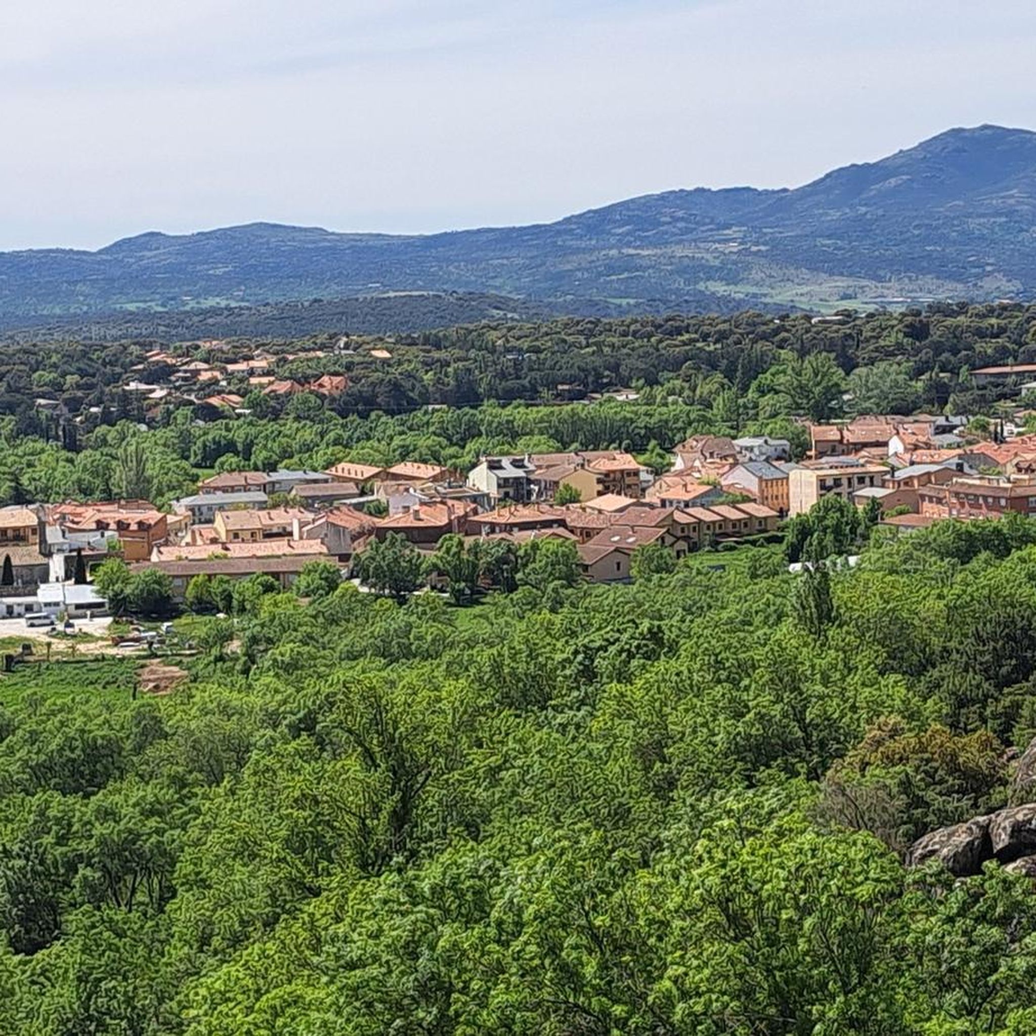
Road cycling routes around Navalafuente are set within a hilly, mid-mountain area on the southern slopes of the Sierra de Guadarrama. This region features diverse terrain, including oak groves, juniper forests, and ash meadows, with clean waters from local rivers. Cyclists can experience varied landscapes, from the gentle slopes of the Canencia Pass to views of the Pedrezuela Reservoir. The area is part of the Natura 2000 network, ensuring a rich natural environment for road cycling.
Best road cycling routes…
Last updated: July 5, 2026
185
riders
107km
05:08
1,410m
1,410m
Hard road ride. Very good fitness required. Mostly well-paved surfaces and easy to ride.
124
riders
85.3km
04:19
1,280m
1,280m
Hard road ride. Very good fitness required. Mostly well-paved surfaces and easy to ride.

Sign up for free
5.0
(1)
242
riders
91.4km
04:16
1,120m
1,120m
Hard road ride. Very good fitness required. Mostly well-paved surfaces and easy to ride.
5.0
(1)
111
riders
67.6km
03:30
940m
940m
Hard road ride. Very good fitness required. Mostly well-paved surfaces and easy to ride.
5.0
(6)
284
riders
43.2km
02:41
1,010m
1,010m
Hard road ride. Very good fitness required. Mostly well-paved surfaces and easy to ride.
Get access to more routes and recommendations from other explorers.
Sign up for free
Already have an account?
Our route recommendations are based on thousands of hikes, rides, and runs completed by other people on komoot.
Start today with a free account
Your next adventure awaits.
Login or Signup
Tips from the Community

lane to field link
0
0

It is located in the Sierra de Guadarrama mountain range, between the municipalities of Miraflores de la Sierra and Rascafría, in the Community of Madrid. From Miraflores de la Sierra (1200m), the route ascends approximately 600m over 10km (average gradient 4–6%), and after reaching the summit, it descends 13km to Rascafría (1150m) with a gradient of 4.5–7%.
6
0
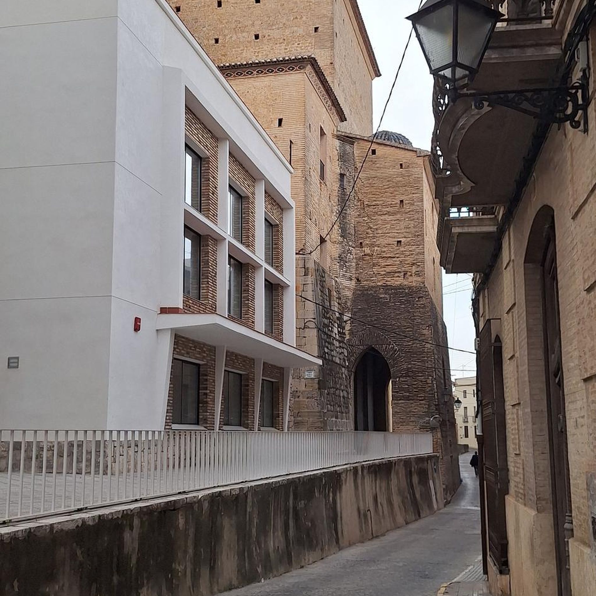
The Castle and Walls of Buitrago del Lozoya, one of the most important medieval sites in the Community of Madrid: The town has pre-Roman roots and was mentioned by Livy as a Celtiberian fortress (Litabrum). Muslim Fortification: Between the 8th and 11th centuries, the Muslims built the wall to protect the territory. Reconquest: Alfonso VI conquered it in 1085, and it passed into Christian hands. Current Castle: Built in the 15th century by the Mendoza family, during the reign of John II of Castile. Historical Uses: Noble residence, defensive stronghold, and setting for events such as the imprisonment of Juana la Beltraneja.
3
0

The north face has more demanding percentages than the south face, but it is still an accessible climb from both sides.
0
0


Port suitable for beginners who want to get in shape
0
0

Good place to stop before starting to climb the hill. Good product, very good people.
0
0

Place of spirituality where you can meditate studying the extraordinary story of his Illustrious Son Cardinal Cisneros, who was Primate of Spain and Counselor and Regent of Isabel of Castile, the Catholic Queen.
1
1
Frequently Asked Questions
What kind of terrain can I expect when road cycling near Navalafuente?
Road cycling around Navalafuente offers a diverse experience, set within a hilly, mid-mountain area on the southern slopes of the Sierra de Guadarrama. You'll encounter varied landscapes, including oak groves, juniper forests, and ash meadows. The terrain ranges from gentle slopes, such as those found on the Robledal – Soto del Real Cycling Area loop, to more demanding mountain passes with significant elevation changes.
How many road cycling routes are available around Navalafuente?
There are over 10 road cycling routes available around Navalafuente, offering a range of distances and difficulties. These routes are highly rated by the komoot community, with an average score of 4.8 stars.
Are there road cycling routes suitable for beginners or families in Navalafuente?
While Navalafuente's road cycling routes are generally categorized as moderate to difficult due to the hilly terrain, some sections and specific routes offer gentler gradients. For a less strenuous option, the Cabanillas de la Sierra – View of the Pedrezuela Reservoir loop is a moderate 33 km route with less elevation gain compared to others, making it a good choice for those looking for a more relaxed ride. The region also features the 'Ruta de las Callejas de Navalafuente', an easy, nearly flat path suitable for all ages, though it's not a dedicated road cycling route.
What natural features or landmarks can I see along road cycling routes in Navalafuente?
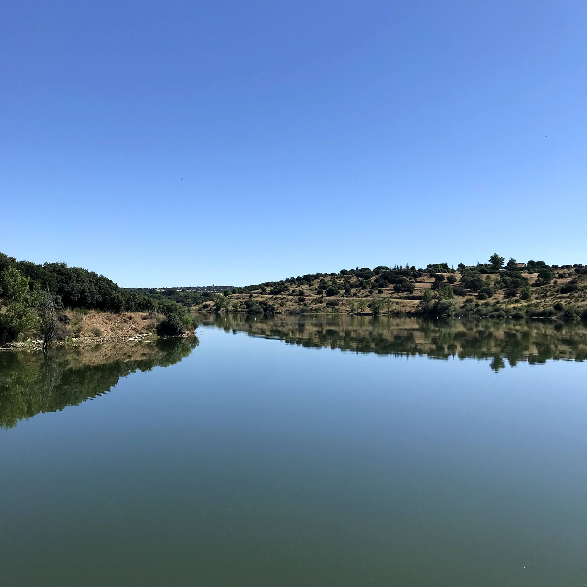
Road cycling routes in Navalafuente offer stunning natural features and landmarks. You can experience the pleasant climbs and incredible scenery of the Canencia Pass, known for its dense Scots pine forests. Many routes also provide views of the serene Pedrezuela Reservoir, such as the View of the Pedrezuela Reservoir – El Vellón loop. Other notable sights include the Mojonavalle Forest with its panoramic views, and the iconic El Mesto Weir.
Are there any challenging road cycling routes for experienced cyclists?
Yes, Navalafuente offers several challenging routes for experienced road cyclists. The Alto del Cerro de San Pedro – El Molar loop is a difficult 67 km path featuring demanding mountain passes and significant elevation gain, perfect for those seeking a rigorous workout and panoramic views.
What is the best time of year for road cycling in Navalafuente?
The region around Navalafuente is ideal for road cycling during spring and autumn when temperatures are milder. Spring brings lush greenery and the spectacular Cascada del Cancho is at its most impressive. While winter can be ridden, be prepared for cooler temperatures, especially at higher elevations like the Canencia Pass. Summer can be hot, so early morning rides are recommended.
Are the road cycling routes around Navalafuente circular?
Yes, many of the popular road cycling routes around Navalafuente are designed as loops, allowing you to start and finish in the same location. Examples include the Robledal – Soto del Real Cycling Area loop and the El Atazar Reservoir – El Berrueco loop, offering convenient round trips.
What do other road cyclists enjoy most about road cycling in Navalafuente?
The road cycling experience in Navalafuente is highly rated by the komoot community, with an average score of 4.8 stars from over 30 reviews. Cyclists often praise the region's diverse terrain, from oak groves to views of reservoirs, and the well-maintained paths that offer a mix of moderate and challenging rides. The stunning natural landscapes and the feeling of being immersed in the Sierra de Guadarrama foothills are frequently highlighted.
Are there any reservoirs or lakes visible from the road cycling routes?
Yes, several road cycling routes offer views of the region's reservoirs. The El Atazar Reservoir – El Berrueco loop provides extensive views of the El Atazar Reservoir, while the View of the Pedrezuela Reservoir – El Vellón loop offers scenic vistas of the Pedrezuela Reservoir, a serene lake that adds to the beauty of the ride.
What is the typical distance and duration for road cycling routes in Navalafuente?
The road cycling routes around Navalafuente vary in distance and duration. You can find routes like the Cabanillas de la Sierra – View of the Pedrezuela Reservoir loop, which is about 33 km and takes around 1 hour 30 minutes. Longer and more challenging routes, such as the Alto del Cerro de San Pedro – El Molar loop, can be up to 67 km and take over 3 hours to complete, depending on your pace and fitness level.
Are there any historical or cultural points of interest along the routes?
Beyond the natural beauty, you can encounter historical and cultural points of interest. The San Blas Hermitage, a small stone construction on a promontory, offers beautiful views of iconic landmarks like La Pedriza. The ruins of the El Mesto Weir, an old reservoir diversion point, are also an iconic spot on local routes.
Most popular routes around Navalafuente
Most popular attractions around Navalafuente

Get inspired with the komoot mobile app


Explore more
Browse the best Road cycling routes in other regions.
