The best road cycling routes around Navalagamella
4.2
(51)
5,631
riders
98
rides
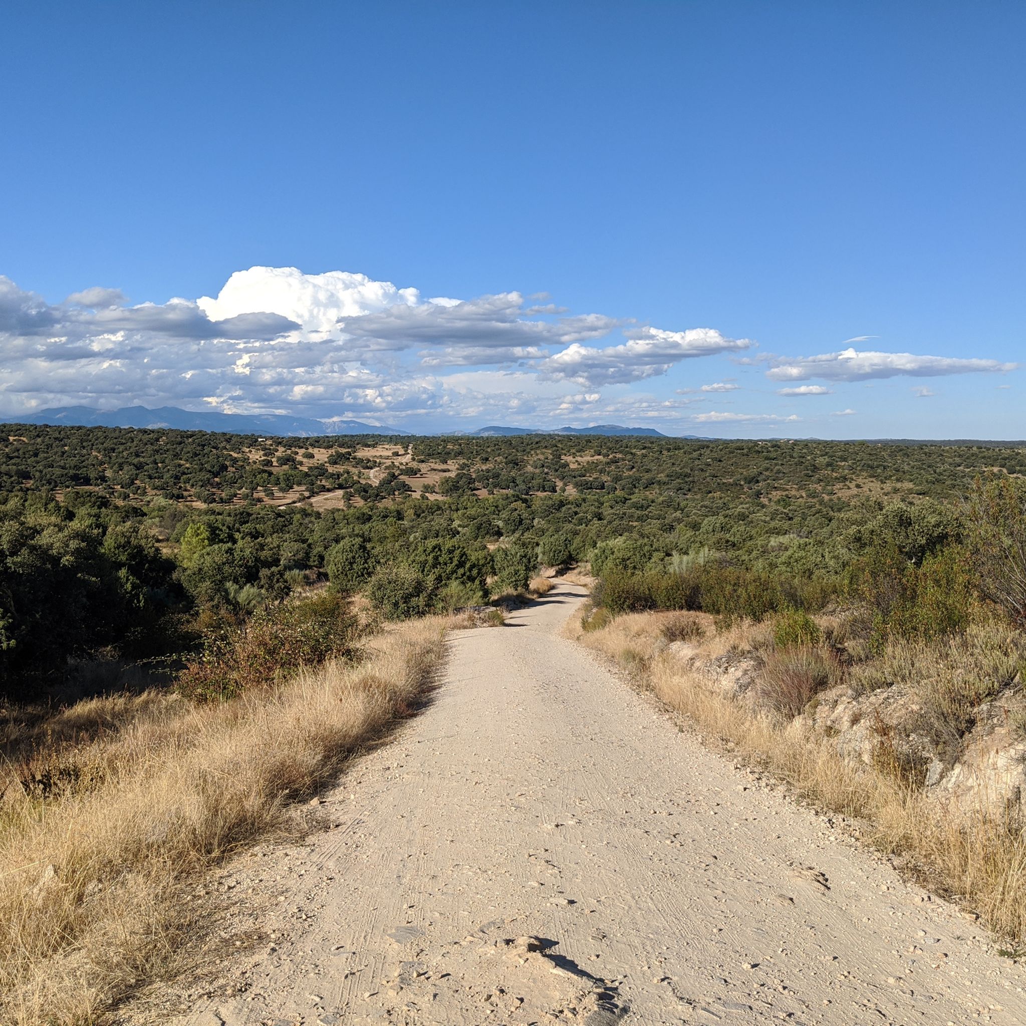
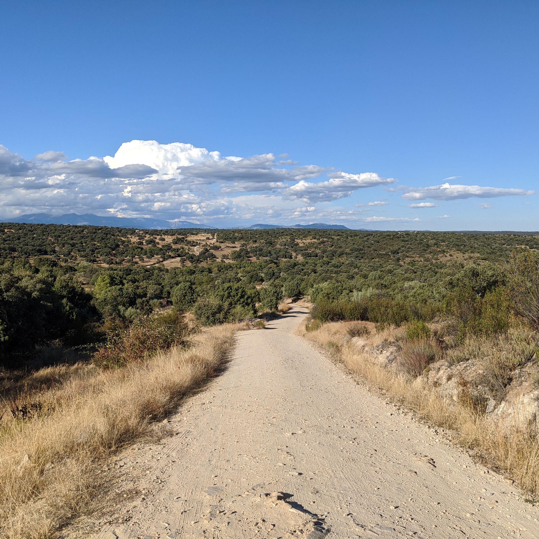
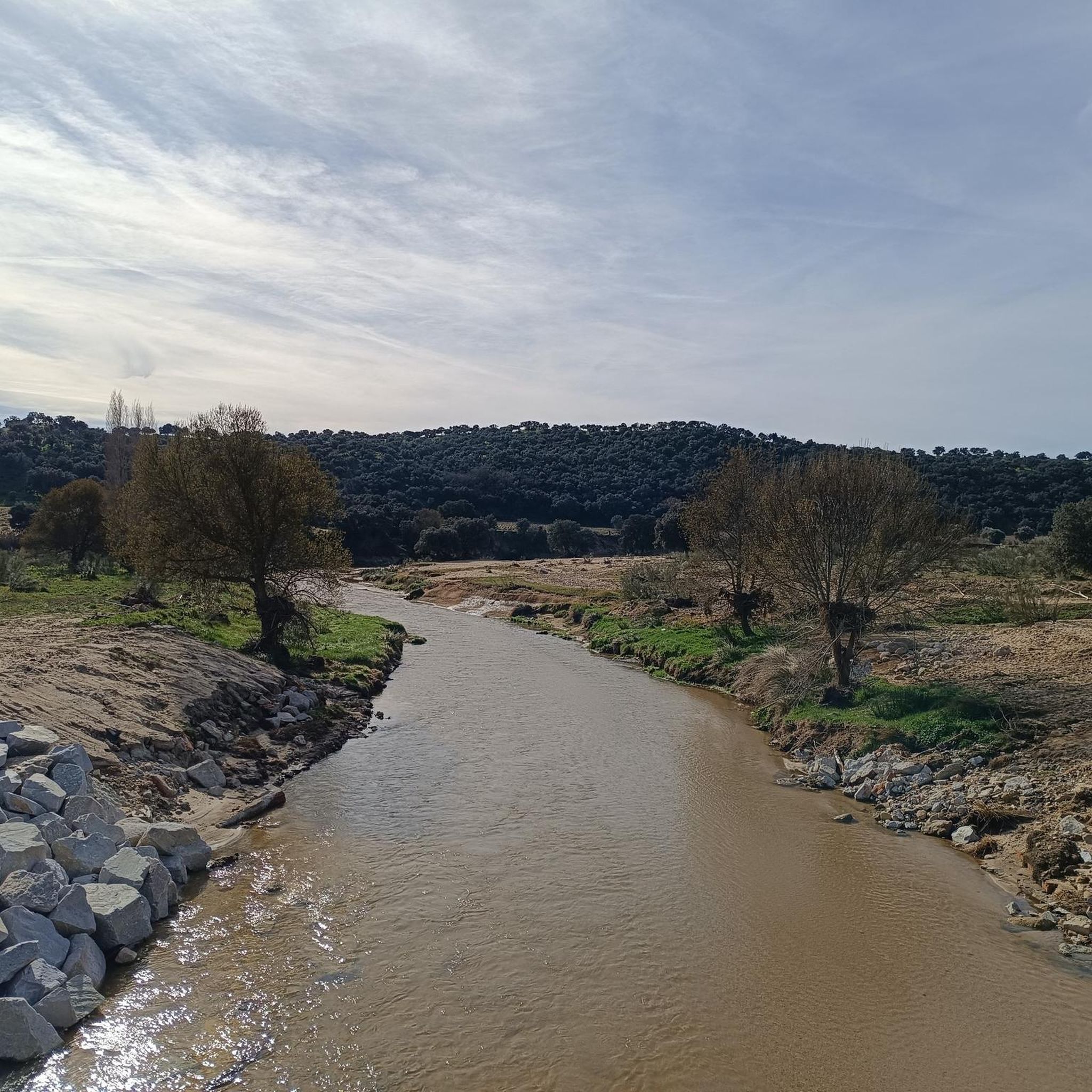
Road cycling routes around Navalagamella traverse a diverse landscape approximately 50 kilometers west of Madrid. The region features varied topography, including an elevation of 760 meters, offering ascents and descents. Cyclists encounter natural elements such as the Perales River, winding through oak forests, and the Cerro Alarcón Reservoir. This area provides a range of physical challenges suitable for road cycling.
Best road cycling routes around Navalagamella
- The most popular road cycling route is Navalagamella, Fresnedillas de la Oliva, Robledo de…
Last updated: June 30, 2026
3.0
(1)
105
riders
83.3km
04:13
1,420m
1,420m
Hard road ride. Very good fitness required. Mostly well-paved surfaces and easy to ride.
54
riders
Moderate road ride. Good fitness required. Mostly well-paved surfaces and easy to ride.

Sign up for free
5.0
(1)
290
riders
76.3km
03:30
740m
740m
Moderate road ride. Good fitness required. Mostly well-paved surfaces and easy to ride.
4.0
(1)
202
riders
76.2km
03:27
680m
690m
Moderate road ride. Good fitness required. Some segments of this route may be unpaved and difficult to ride.
5.0
(4)
59
riders
37.3km
01:33
210m
210m
Easy road ride. Great for any fitness level. Mostly well-paved surfaces and easy to ride.
Get access to more routes and recommendations from other explorers.
Sign up for free
Already have an account?
Our route recommendations are based on thousands of hikes, rides, and runs completed by other people on komoot.
Start today with a free account
Your next adventure awaits.
Login or Signup

Tips from the Community

Impressive antenna installation. Beautiful road with little traffic.
0
0

Always better on weekends and during off-peak hours during the week because there's a lot of traffic.
0
0

Navalagamella is known for its hiking trails and natural surroundings, perfect for outdoor activities. In addition, its historical and cultural heritage offers an enriching experience for visitors.
6
0

Beautiful village with an enviable environment
0
1
Villanueva de la Cañada was known by the name of Despernada. Due to a contraction of the word, it was later called La Espernada. Several legends circulate about this name: one of them refers to a stone statue, mutilated by passers-by, and which existed in ancient times on the site where the town is built today, and around which the first homes were built. This version is documented in the Topographical Relations of Philip II (1578), the original of which is preserved in the Library of the Monastery of San Lorenzo de El Escorial. Currently Villanueva de la Cañada is a modern town, which houses the Alfonso X El Sabio University (UAX) and in its vicinity is the water park: Aquópolis.
28
0
Villanueva de la Cañada was known by the name of Despernada. Due to a contraction of the word, it was later called La Espernada. Several legends circulate about this name: one of them refers to a stone statue, mutilated by passers-by, and which existed in ancient times on the site where the town is built today, and around which the first homes were built. This version is documented in the Topographical Relations of Philip II (1578), the original of which is preserved in the Library of the Monastery of San Lorenzo de El Escorial. Currently Villanueva de la Cañada is a modern town, which houses the Alfonso X El Sabio University (UAX) and in its vicinity is the water park: Aquópolis.
21
0


Frequently Asked Questions
How many road cycling routes are available in Navalagamella?
Navalagamella offers a wide selection of road cycling routes, with nearly 100 different tours available. This includes options for various skill levels, from easy rides to more challenging routes.
What kind of terrain can I expect on road cycling routes in Navalagamella?
The region around Navalagamella features diverse terrain, ideal for road cycling. You'll encounter varied topography, including ascents and descents, as the area is situated at an elevation of 760 meters. Routes often wind through lush oak forests, along the picturesque Perales River, and past the Cerro Alarcón Reservoir, offering a mix of natural beauty and physical challenge.
What are the difficulty levels of road cycling routes in Navalagamella?
Road cycling routes in Navalagamella cater to a range of abilities. You can find easy routes for a relaxed ride, a significant number of moderate paths, and challenging options for experienced cyclists looking for more demanding climbs and descents. Overall, the komoot community rates the routes highly, with an average score of 4.3 stars.
Are there any circular road cycling routes in Navalagamella?
Yes, many road cycling routes in Navalagamella are circular, allowing you to start and finish in the same location. A popular example is the Navalagamella, Fresnedillas de la Oliva, Robledo de Chavela – circular route, which offers varied terrain through the local countryside.
What historical or natural attractions can I see along the road cycling routes?
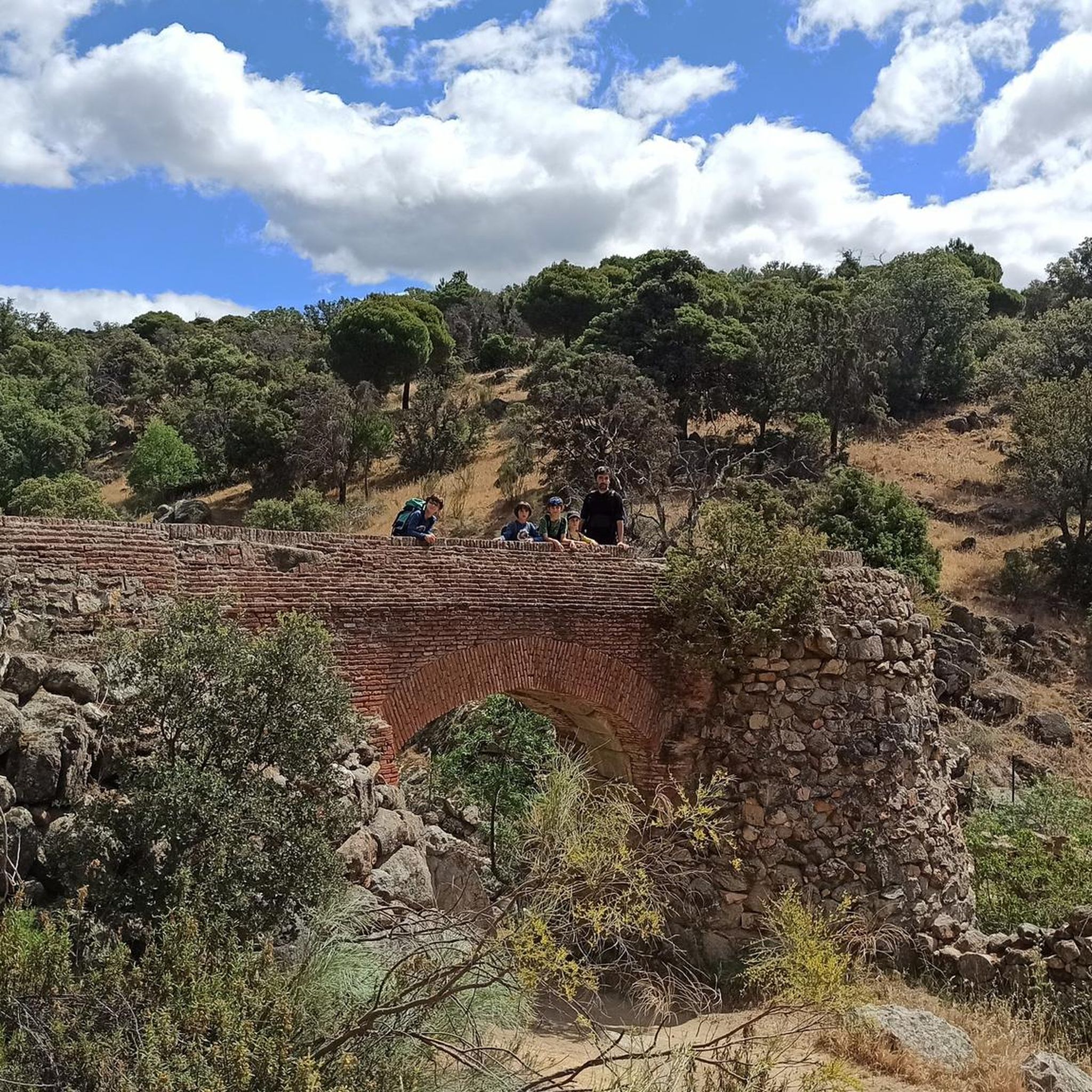
Navalagamella's road cycling routes are rich with points of interest. You can explore remnants of the Spanish Civil War, such as military architecture including fortifications and bunkers. Natural highlights include the Perales River with its historic mills, and the Cerro Alarcón Reservoir. Routes also pass by ancient bridges like Puente del Hoyo and Puente del Pasadero. For scenic views, consider the Valmayor Reservoir or the Seat of Philip II viewpoint.
Are there long-distance road cycling routes in the area?
Yes, Navalagamella offers several long-distance road cycling routes. For example, the Colmenarejo Slides – Views of Valmayor Reservoir loop from Cerro Alarcón is a moderate 76.3 km path, and the Villamanta Town Square – XXL Bicycle Sculpture loop from Navalagamella covers 76.2 km, both providing extensive rides through diverse landscapes.
Are there routes that connect Navalagamella with other towns?
Absolutely. The road cycling network in Navalagamella is well-connected, linking the municipality with neighboring towns such as Majadahonda, Villanueva de la Cañada, Quijorna, Valdemorillo, Robledo de Chavela, and El Escorial. This allows for longer, more varied rides and opportunities to explore the broader region.
What is the best time of year for road cycling in Navalagamella?
The diverse landscapes and varied topography of Navalagamella make it suitable for road cycling across multiple seasons. However, spring and autumn generally offer the most pleasant temperatures and conditions for exploring the region's routes, avoiding the peak heat of summer or the cooler, potentially wetter days of winter.
Can I find routes with significant climbs or descents?
Yes, Navalagamella's elevated terrain, situated at 760 meters, ensures that many road cycling routes feature significant ascents and descents. For a challenging ride with substantial elevation gain, consider the Cruz Verde Pass – qas loop from Navalagamella, which includes over 1300 meters of climbing.
Are there any routes that offer scenic views of reservoirs?
Yes, several routes provide beautiful views of the region's reservoirs. The Colmenarejo Slides – Views of Valmayor Reservoir loop from Cerro Alarcón specifically highlights views of the Valmayor Reservoir. The Cerro Alarcón Reservoir itself is also a prominent natural feature along many routes.
What do other road cyclists enjoy the most about road cycling in Navalagamella?
The area is highly rated by the komoot community, with an average score of 4.3 stars from over 50 reviews. Cyclists often praise the varied terrain, the scenic beauty of the Perales River and oak forests, and the range of routes suitable for different abilities. The interconnectedness with nearby towns and the presence of historical sites also contribute to a rich cycling experience.
Most popular routes around Navalagamella
Most popular attractions around Navalagamella

Get inspired with the komoot mobile app


Explore more
Browse the best Road cycling routes in other regions.
