The best walks and hikes around Morlanda naturreservat
4.5
(576)
2,334
hikers
79
hikes
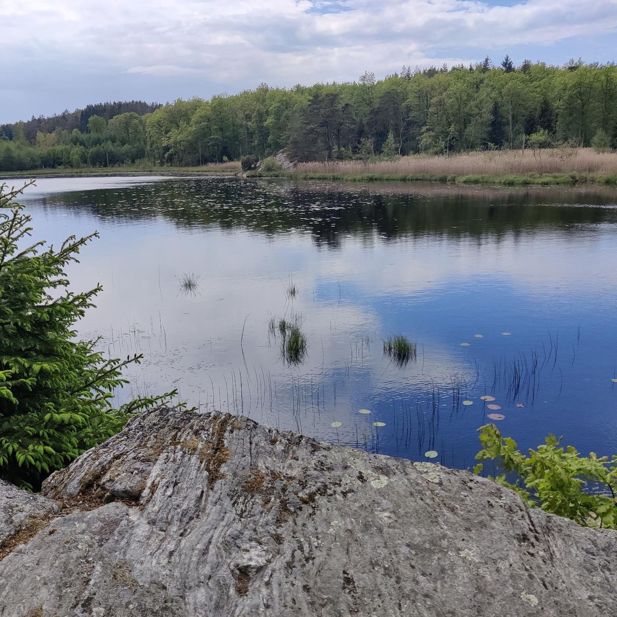
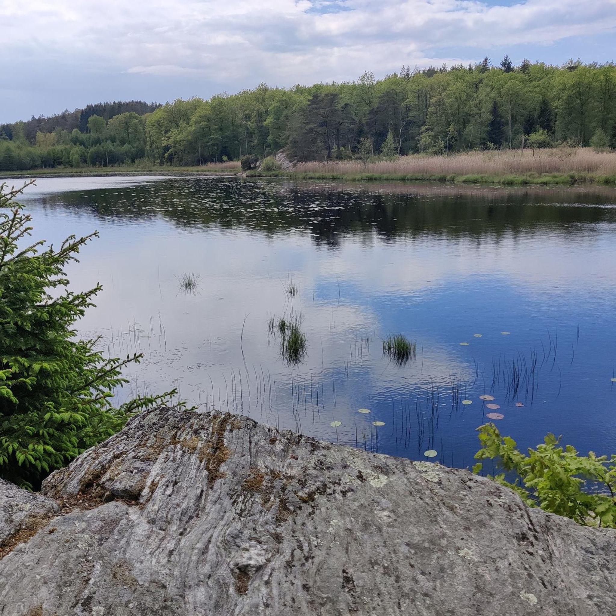
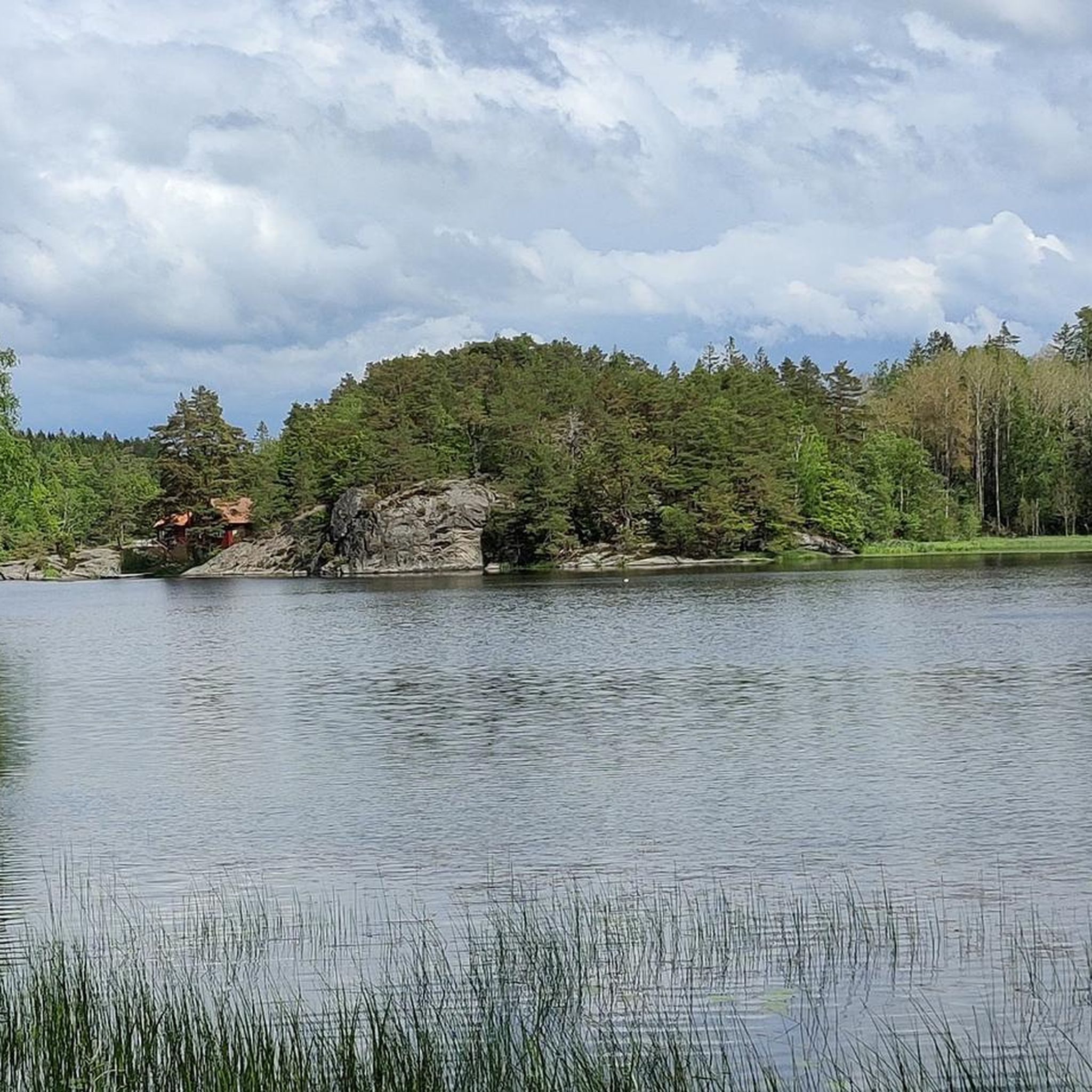
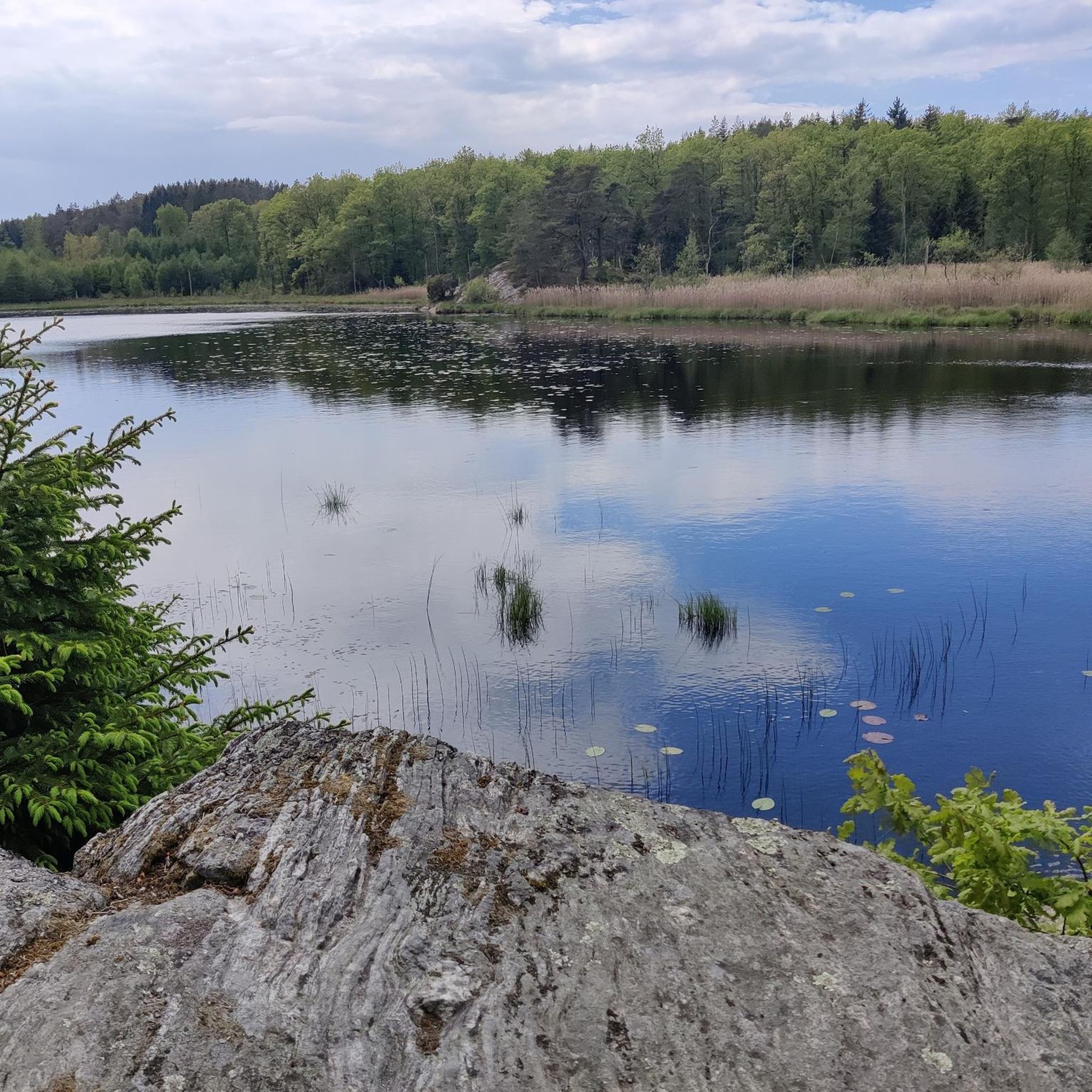
Hiking around Morlanda naturreservat offers a diverse landscape in Västra Götaland, Sweden. The reserve features cultivated lands in the west, transitioning to fault scarps and broadleaf forests in the east. Coastal access points provide views over Malö strömmar and Björnsundsfjorden, with the highest point, Svens Altare, offering expansive vistas of the archipelago. The terrain includes varied forests, a gravel ridge, and the historic Morlanda manor house.
Best hiking trails around Morlanda naturreservat
- The most popular hiking route is Björnsund Canal Trail, an easy 1.7 miles (2.7 km) trail that takes about 40 minutes to complete. This route offers a short, accessible walk near the water.
- Another top favourite among local hikers is Loop around Flatön Island, a moderate 7.1 miles (11.5 km) path. This trail explores the island's varied scenery, typically completed in about 3 hours.
- Local hikers also love the Svens Altare Observation Tower – Pond Loop loop from Morlanda naturreservat, a 3.7 miles (6.0 km) trail leading through forested areas to a viewpoint, often completed in about 1 hour 40 minutes.
- Hiking around Morlanda naturreservat is defined by broadleaf forests, coastal access, and elevated viewpoints. The network offers options for different ability levels, from easy strolls to moderate loops.
- The routes in Morlanda naturreservat are highly rated by the komoot community with an average score of 4.5 stars from over 500 reviews. More than 2000 hikers have used komoot to explore Morlanda naturreservat's varied terrain.
Last updated: July 7, 2026
4
hikers
11.4km
02:58
80m
80m
Moderate hike. Good fitness required. Easily-accessible paths. Suitable for all skill levels.
5.0
(2)
11
hikers
2.71km
00:43
20m
20m
Easy hike. Great for any fitness level. Easily-accessible paths. Suitable for all skill levels.

Sign up for free
4.5
(30)
142
hikers
Easy hike. Great for any fitness level. Easily-accessible paths. Suitable for all skill levels.
4.5
(29)
138
hikers
Easy hike. Great for any fitness level. Easily-accessible paths. Suitable for all skill levels.
4.6
(10)
30
hikers
2.61km
00:46
80m
80m
Easy hike. Great for any fitness level. Easily-accessible paths. Suitable for all skill levels.
Get access to more routes and recommendations from other explorers.
Sign up for free
Already have an account?
Our route recommendations are based on thousands of hikes, rides, and runs completed by other people on komoot.
Start today with a free account
Your next adventure awaits.
Login or Signup
Tips from the Community

This peaceful stretch around Bua leads through quiet nature with forests and open meadows. Along the way you may also spot a small red roadside cabinet where local honey is sold.
0
0
This wooden footbridge leads you right along the fjord and offers beautiful views of the water and nearby islands.
0
0
A small picnic area along with benches and a nice view of the surrounding coastal landscape. It’s a pleasant spot to take a break, enjoy a snack and watch boats pass by on the fjord.
0
0

An artificially created strip of dunes connecting the mainland to a small island.
0
0
A beautiful forest path leads to the coast, where you can continue a trail to Stora Björnholmen.
0
0

Breather after the steep climb
0
0
Resting place at the remains of the Ålta estate. Exotic plants still grow in the former garden.
0
0

No meadow for camping!
0
0
Frequently Asked Questions
What kind of terrain and landscapes can I expect to find in Morlanda naturreservat?
Morlanda naturreservat offers a diverse landscape. You'll find extensive cultivated lands in the western part, transitioning to fault scarps and broadleaf forests in the east. The reserve also features coastal access points along Malö strömmar and Björnsundsfjorden, a gravel ridge known as Gunnarsskogen, and coniferous forests, providing varied hiking experiences.
Are there easy hiking trails suitable for beginners or casual walkers?
Yes, Morlanda naturreservat has many easy options. Out of the 80 available routes, 51 are classified as easy. For example, the Björnsund Canal Trail is an easy 1.7-mile (2.7 km) walk that takes about 40 minutes, offering an accessible path near the water.
What are some notable natural features or landmarks to look out for while hiking?
Hikers can explore several interesting features. The impressive, nature-protected ravine of Berga klev boasts a particularly well-developed deciduous forest. You can also visit Svens Altare, the highest point in the reserve, which offers expansive views over the coniferous forests of Storehamn and the northern and western archipelago. Additionally, the historic Morlanda manor house, Bohuslän's oldest wooden building, adds a cultural dimension to the natural surroundings.
Are there any trails that offer great viewpoints?
Absolutely. The highest point in the reserve, Svens Altare, provides expansive views over the coniferous forests of Storehamn and the northern and western archipelago. You can experience this on routes like the Svens Altare Observation Tower – Pond Loop loop from Morlanda naturreservat, which leads through forested areas to this viewpoint.
Can I bring my dog on the hiking trails in Morlanda naturreservat?
Yes, dogs are generally permitted in Morlanda naturreservat. However, it's important to be aware of local regulations, which typically require dogs to be kept on a leash to protect wildlife and ensure a pleasant experience for all visitors.
Are there family-friendly hiking options in Morlanda naturreservat?
Many trails in Morlanda naturreservat are suitable for families. With 51 easy routes available, you can find paths that are less strenuous and shorter in duration. The diverse landscape, including coastal access and forests, offers engaging environments for children to explore.
What is the best time of year to visit Morlanda naturreservat for hiking?
Morlanda naturreservat is beautiful year-round, but the best time depends on your preference. Spring and autumn offer pleasant temperatures and vibrant colors in the broadleaf forests. Summer provides coastal access for bathing and longer daylight hours. Even winter hiking can be rewarding, offering a different perspective of the landscape, though some trails might be more challenging.
How many hiking trails are available in Morlanda naturreservat?
There are over 80 hiking routes available for exploration in Morlanda naturreservat, catering to various preferences and skill levels. These include 51 easy trails and 29 moderate options.
Is parking available at Morlanda naturreservat?
While specific parking locations are not detailed in the guide, natural reserves like Morlanda typically provide designated parking areas near trailheads or main entrances to accommodate visitors. It is advisable to look for signage upon arrival.
What do other hikers enjoy most about hiking in Morlanda naturreservat?
The area is highly rated by the komoot community, with an average score of 4.5 stars from over 500 reviews. Reviewers often praise the diverse landscapes, from cultivated lands to broadleaf and coniferous forests, as well as the coastal access and elevated viewpoints like Svens Altare. The variety of trails, suitable for different abilities, is also frequently highlighted.
Are there any circular hiking routes in Morlanda naturreservat?
Yes, there are several circular routes available. An example is the Svens Altare Observation Tower – Pond Loop loop from Morlanda naturreservat, an easy 3.7-mile (6.0 km) trail that takes about 1 hour 40 minutes to complete, offering a convenient way to explore the area and return to your starting point.
Are there any longer, more challenging hikes for experienced hikers?
While Morlanda naturreservat primarily features easy and moderate trails, some longer routes offer more of a challenge. For instance, the Loop around Flatön Island is a moderate 7.1-mile (11.5 km) path that explores varied scenery and typically takes about 3 hours to complete, providing a good workout for those seeking a longer excursion.
Most popular routes around Morlanda naturreservat

Get inspired with the komoot mobile app


Explore more
Browse the best Hikes in other regions.
