The best cycling routes around Piedrabuena
5.0
(6)
63
riders
18
rides
Touring cycling routes around Piedrabuena, Spain, are situated within the Montes de Ciudad Real, offering a varied topography of massifs, mountain ranges, and valleys. Elevations range from over 540 meters in valleys to between 800 and 930 meters in higher areas, providing diverse terrain for cyclists. The region features the Bullaque River, the Vicario Reservoir, and volcanic formations, contributing to its distinct landscape. These physical features create a network of routes suitable for touring cyclists seeking varied challenges.
Best touring…
Last updated: July 7, 2026
5.0
(1)
4
riders
57.5km
03:43
770m
770m
Hard bike ride. Very good fitness required. Mostly paved surfaces. Suitable for all skill levels.
3
riders
98.9km
06:40
1,040m
1,040m
This difficult 61.5-mile touring cycling route from Tabla de la Yedra explores rural towns and natural beauty in the Montes de Toledo region

Sign up for free
71.3km
04:27
280m
280m
Moderate bike ride. Good fitness required. Mostly paved surfaces. Suitable for all skill levels.
Hard bike ride. Very good fitness required. Mostly paved surfaces. Suitable for all skill levels.
5.0
(3)
7
riders
41.5km
03:19
290m
290m
Moderate bike ride. Good fitness required. Mostly paved surfaces. Suitable for all skill levels.
Get access to more routes and recommendations from other explorers.
Sign up for free
Already have an account?
Our route recommendations are based on thousands of hikes, rides, and runs completed by other people on komoot.
Start today with a free account
Your next adventure awaits.
Login or Signup
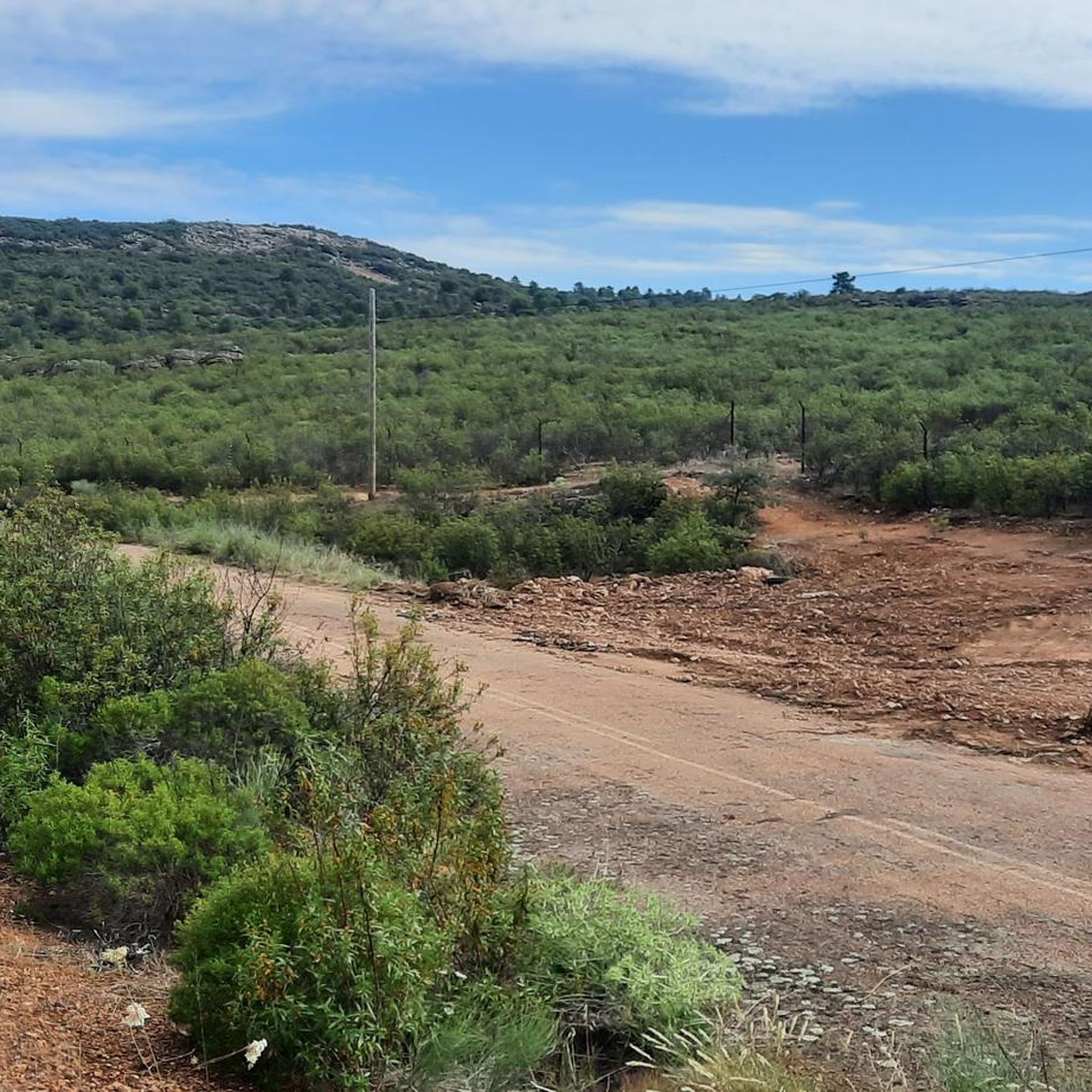
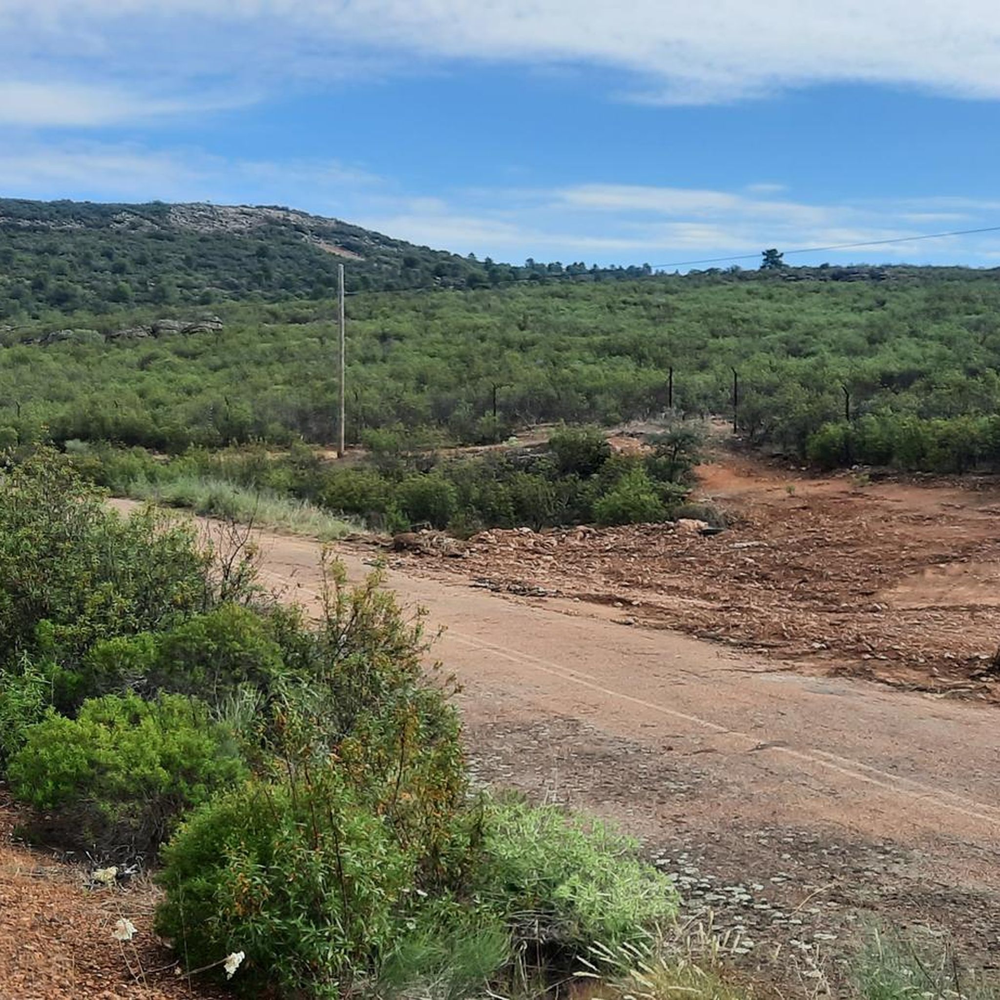
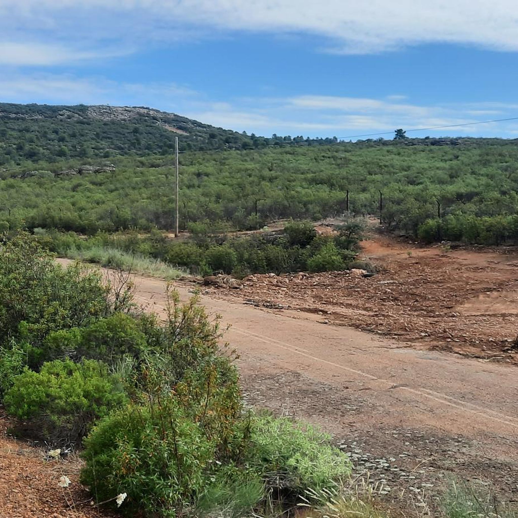
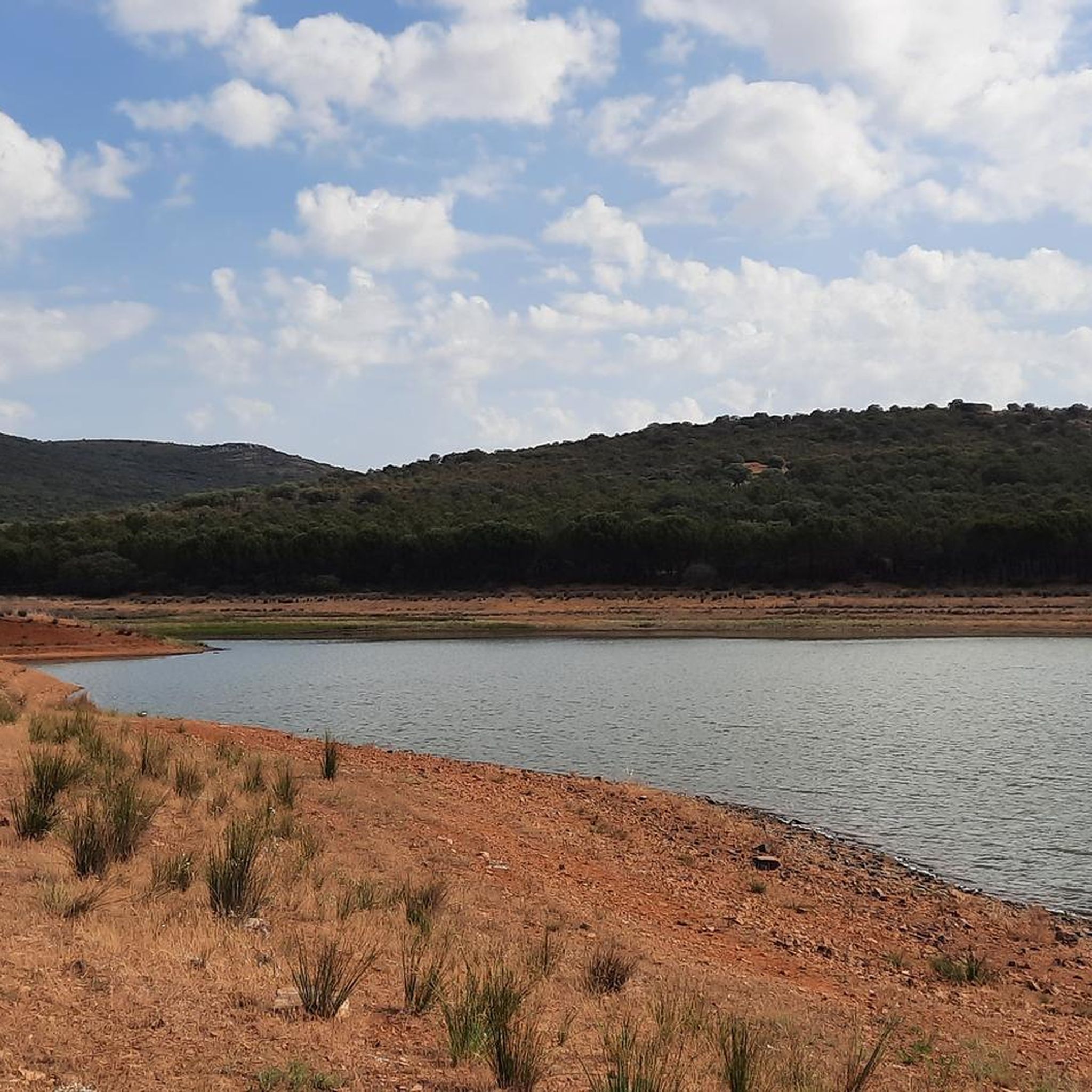
Tips from the Community

The village is crossed by a branch or connecting ravine of the ancient Mesta, part of the Cañada Real Segoviana. These conditions of water and tranquility may have been decisive in the village's formation: there is evidence of human settlement in the Stone Age. Two roads also provide clear evidence of its existence in Roman times.
0
1

The rock crossing on the Bullaque River next to the Los Ejidos Recreational Area in Luciana (Ciudad Real) is a natural passage that allows wading across the river when its flow is low, especially in summer.
21
0

A beautiful spot for a stroll, along its footbridges over the river. The Navarincon Waterfall route begins here.
4
0
Section that leaves the Abraham Tower path towards the Casa Palillos interpretation centre.
7
0
The Torre de Abraham Reservoir Viewpoint is located in Retuerta del Bullaque, north of the Cabañeros National Park. This viewpoint offers wide and spectacular views of the reservoir and the Retuerta raña.
10
0
La Tabla de la Yedra is known for its scenic beauty and ecological value. On its banks, we can find a rich flora and fauna, including willows, ash trees, black and white poplars, poplars, white and yellow water lilies, arachnids and elms. In addition, it is a place frequented by fishing enthusiasts, and large carp can be caught in the Bullaque River. There are also hiking routes that cross the three bridges over the river
20
0
The Mirador del Pantano de la Torre de Abraham is a special place in Retuerta del Bullaque, located north of the Cabañeros National Park. Here you will find impressive panoramic views of the body of water and the Retuerta ravine. This viewpoint has three interpretive panels that will give you information about the environment. Additionally, the nearby recreational area offers amenities such as picnic tables, a children's area, parking, and services. But that's not all: you can also explore a pleasant botanical trail that runs along elevated walkways along the riverbed of the Bullaque River.
12
0
Alcoba is located next to the Cabañeros National Park, it is one of the most valuable protected corners of the Montes de Toledo, a refuge for large birds of prey, black storks, eagles, vultures and many other endangered species. Its landscape is made up of extensive pastures or meadows with rich seasonal pastures, the mountains and massifs provide shelter to a wide variety of birds and mammals. Its magnificent natural environment invites you to carry out all types of activities related to nature. The most significant element of its urban center is the Church of Our Lady of Consolation from the 17th century.
12
0
Frequently Asked Questions
What kind of terrain can I expect on touring cycling routes around Piedrabuena?
The touring cycling routes around Piedrabuena are situated within the Montes de Ciudad Real, offering a varied topography. You can expect an alternation of massifs and mountain ranges with valleys and depressed areas. Elevations generally range from over 540 meters in the valleys to between 800 and 930 meters in higher areas, providing diverse challenges for cyclists.
Are there any circular touring cycling routes available in Piedrabuena?
Yes, Piedrabuena offers several circular touring cycling routes. For example, the difficult route Horcajo de Montes from Alcoba — circular via Navalpino covers 57.5 km. Another option is the moderate Embalse de Torre de Abraham — circular desde Alcoba, which is 71.3 km long. You can also explore the challenging Tabla de la Yedra, Alcoba de los Montes y Porzuna — circular desde Piedrabuena, spanning 105.4 km.
What natural features or landmarks can I see along the touring cycling routes?
The routes often pass by significant natural features and historical landmarks. You can cycle near the tranquil Bullaque River, which features the picturesque 'Tabla de la Yedra' with lush poplars. The Vicario Dam and El Vicario Reservoir Tower on the Guadiana River offer scenic views. Keep an eye out for the historic Sheep Bridge, also known as the 'thousand sheep' bridge, and in spring, you might spot stork nests.
Are there any easy touring cycling routes suitable for beginners or families?
Yes, among the 24 touring cycling routes around Piedrabuena, there are 2 routes classified as easy. These routes provide a gentler introduction to touring cycling in the region, suitable for those seeking less challenging terrain or a more relaxed pace. One moderate option is the Guadiana Natural Trail – Luciana Bridge loop from Piedrabuena, which is 41.5 km long.
What is the best time of year to go touring cycling in Piedrabuena?
Spring is an excellent time for touring cycling in Piedrabuena. The weather is generally pleasant, and the natural landscape is vibrant. It's also when a colony of storks makes their nests in the area, offering an additional point of interest for nature observation.
What do other touring cyclists say about the routes in Piedrabuena?
The touring cycling routes in Piedrabuena are highly rated by the komoot community, with an average score of 5.0 stars from over 6 reviews. More than 70 touring cyclists have used komoot to explore the varied terrain, often praising the diverse landscapes and the opportunities to discover hidden gems.
Are there any routes that pass by water bodies suitable for a break or swimming?
Yes, the Bullaque River is a prominent feature in the area, and the 'Tabla de la Yedra' is a picturesque spot with clean waters suitable for swimming. The Playas del Vicario pools near the Vicario Reservoir also offer opportunities for a refreshing break.
What are the typical elevations and difficulties of the touring cycling routes?
The routes in Piedrabuena offer a range of difficulties. Out of 24 routes, 2 are easy, 10 are moderate, and 12 are difficult. Elevations vary significantly, with valleys around 540 meters and higher mountain areas reaching between 800 and 930 meters, meaning you can find routes with both gentle and steep climbs.
Can I find routes that explore the volcanic features of the region?
Yes, the region exhibits unique volcanic features, such as the 'Volcanic Bolos' or 'Bolaños,' particularly near the Arroyo de Valdefuente. While specific routes dedicated solely to these features are not highlighted, many touring cycling paths traverse the varied topography shaped by these geological elements, offering a unique landscape to explore.
Are there any long-distance touring cycling options in Piedrabuena?
Piedrabuena offers several longer routes for touring cyclists. For instance, the challenging Arroba de los Montes, Puebla de Don spans nearly 99 km, providing an extensive ride through the region's characteristic landscapes. Another demanding option is Tabla de la Yedra, Alcoba de los Montes y Porzuna — circular desde Piedrabuena, which is over 105 km.
What kind of wildlife might I encounter while cycling in Piedrabuena?
The clean waters of the Bullaque River support diverse fauna, including otters and kingfishers. In spring, Piedrabuena is also home to a colony of storks, making it a great spot for birdwatching during your ride.
Most popular attractions around Piedrabuena

Get inspired with the komoot mobile app


Explore more
Browse the best Cycling routes in other regions.
