The best cycling routes around Villar Del Cobo
4.6
(12)
245
riders
29
rides
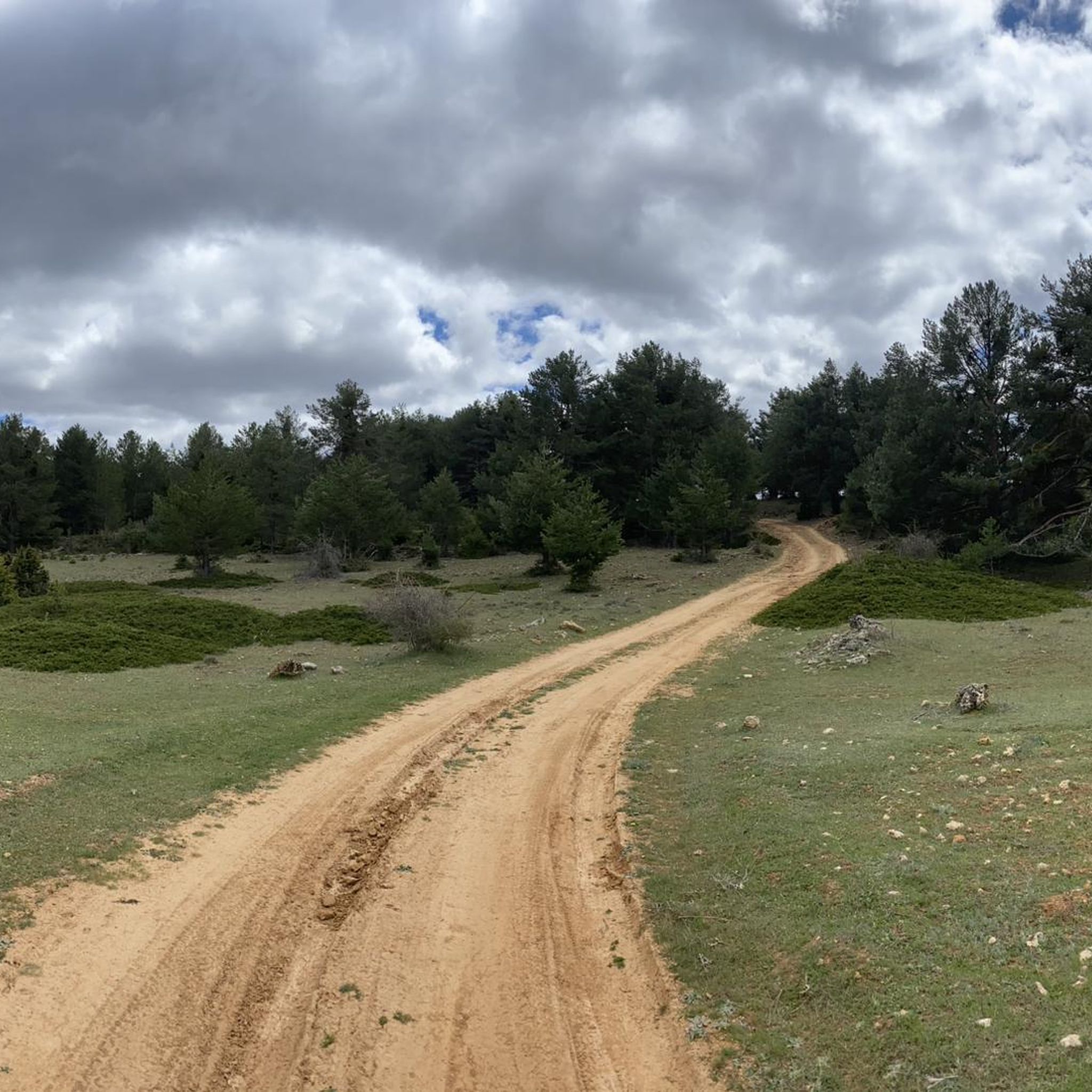
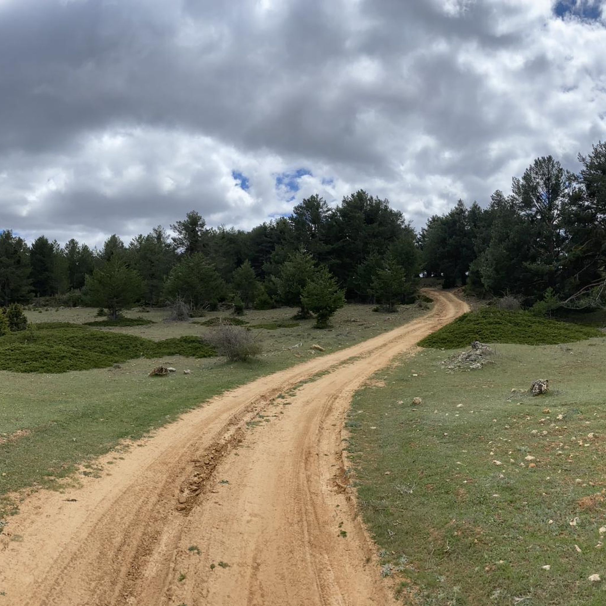
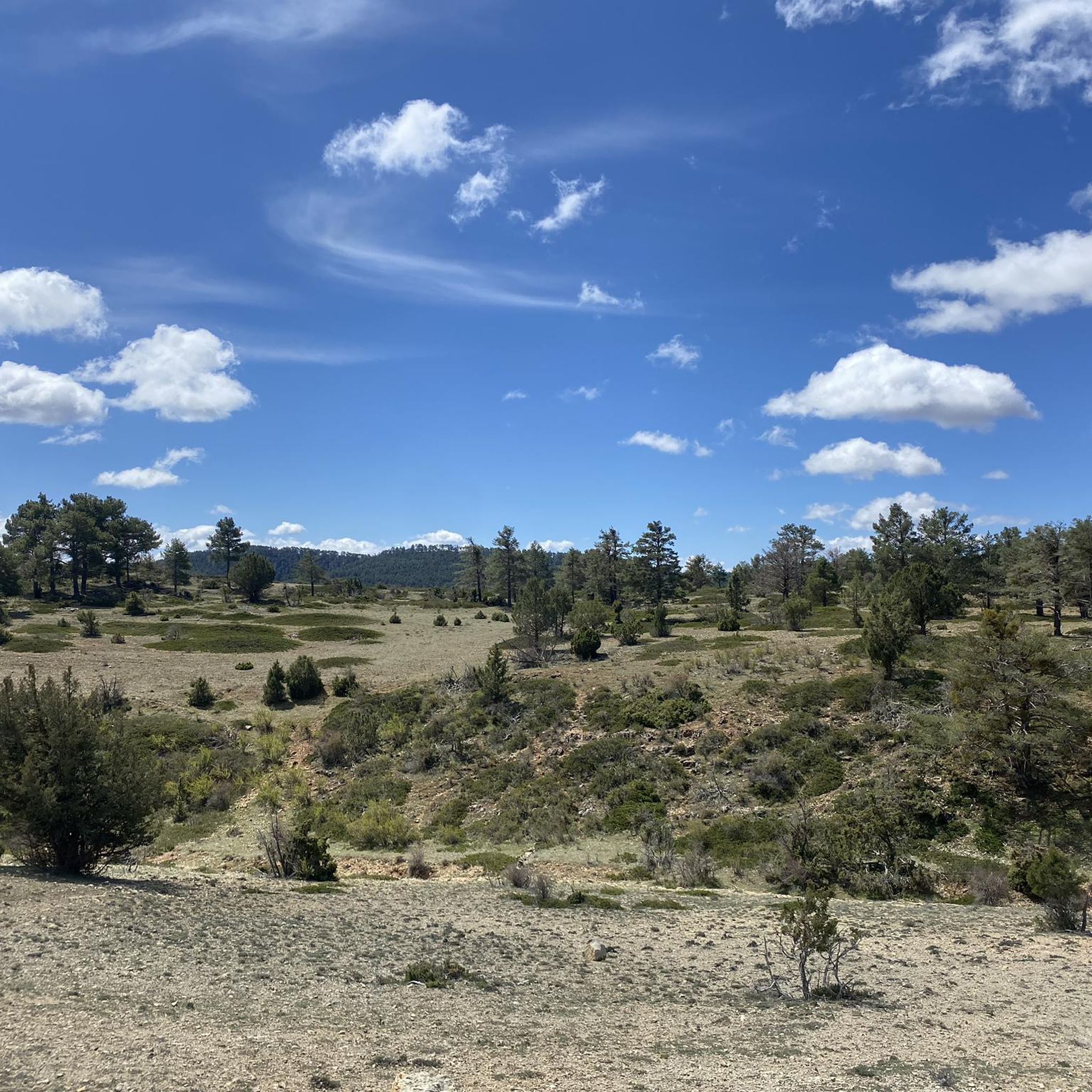
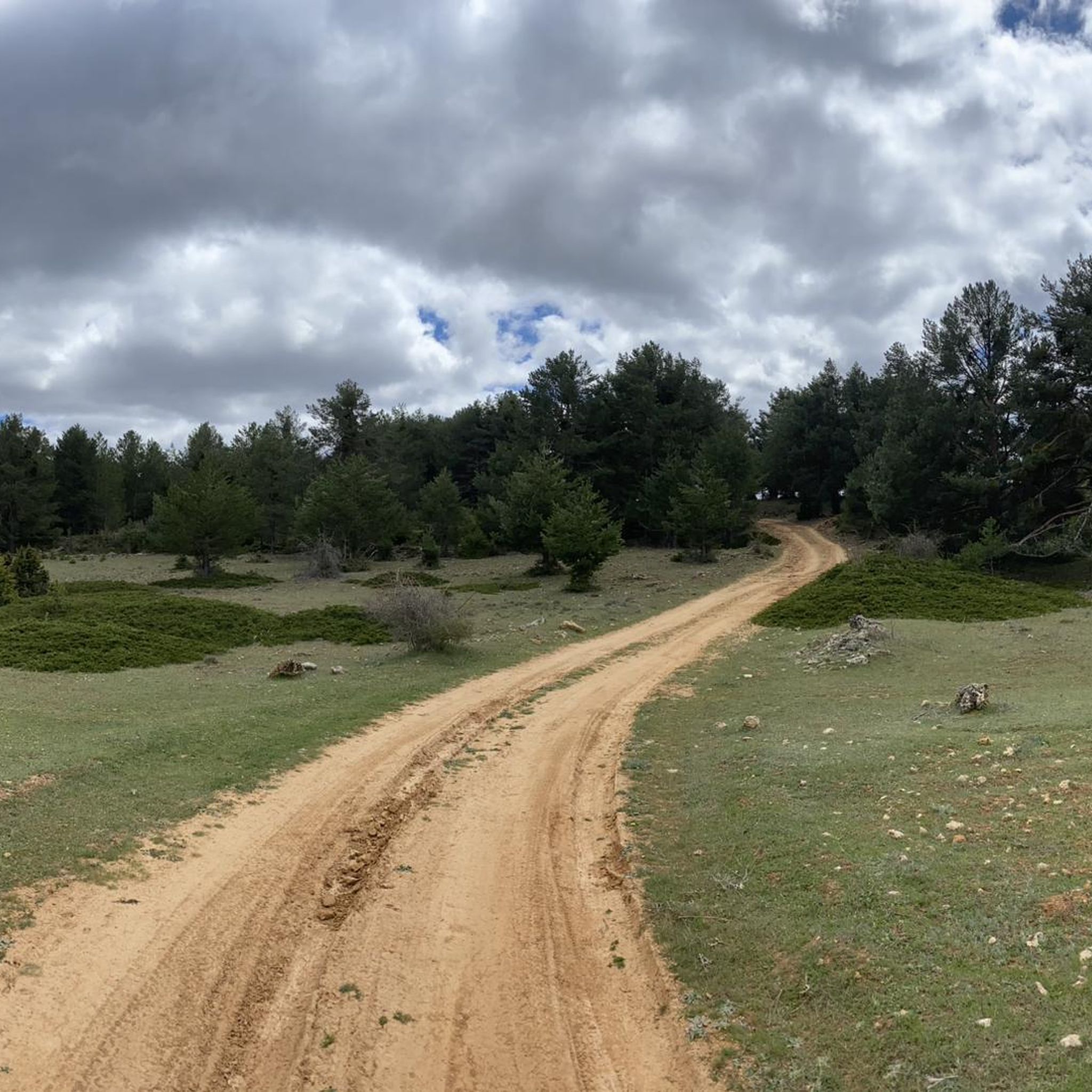
Touring cycling around Villar Del Cobo offers routes through diverse and striking natural landscapes in the Sierra de Albarracín. The region is characterized by deep gorges carved by the Guadalaviar River, extensive pine and juniper forests, and unique geological formations known as dolinas. These features provide varied terrain, from river valleys to stony hillsides, suitable for cycling exploration. The area's elevation changes offer challenging climbs and scenic descents.
Best touring cycling routes around Villar Del Cobo
- The most popular touring…
Last updated: July 1, 2026
5.0
(2)
12
riders
50.9km
04:32
700m
700m
Hard bike ride. Very good fitness required. Mostly paved surfaces. Suitable for all skill levels.
4.0
(1)
2
riders
Moderate bike ride. Good fitness required. Mostly paved surfaces. Suitable for all skill levels.

Sign up for free
22
riders
47.5km
04:59
1,050m
1,050m
Hard bike ride. Very good fitness required. Mostly paved surfaces. Suitable for all skill levels.
10
riders
24.6km
02:30
520m
520m
Hard bike ride. Very good fitness required. Mostly paved surfaces. Suitable for all skill levels.
10
riders
63.5km
05:18
1,110m
1,110m
Hard bike ride. Very good fitness required. Mostly paved surfaces. Suitable for all skill levels.
Get access to more routes and recommendations from other explorers.
Sign up for free
Already have an account?
Our route recommendations are based on thousands of hikes, rides, and runs completed by other people on komoot.
Start today with a free account
Your next adventure awaits.
Login or Signup


Other adventures around Villar Del Cobo

Tips from the Community

The official source of water is located at Fuente de García, in the Montes Universales, within the municipality of Frías de Albarracín (Teruel). It is located at an altitude of approximately 1,590 meters, surrounded by pine forests and high mountain meadows. Access is very easy and well signposted. Take the A-1704 highway, which connects Frías de Albarracín with Huélamo (Cuenca). From the highway, a paved detour of approximately 2 km takes you directly to the recreational area and the monument. There is free parking next to the monument.
10
0
Access is very easy and well signposted. Take the A-1704 highway, which connects Frías de Albarracín with Huélamo (Cuenca). From the highway, a paved detour of approximately 2 km takes you directly to the recreational area and the monument. There is free parking next to the monument.
5
0
The official source is located at Fuente de García, in the Montes Universales, within the municipality of Frías de Albarracín (Teruel). It is located at an altitude of approximately 1,590 meters, surrounded by pine forests and high mountain meadows.
5
0

It is a reference to the place where the longest river in Spain originates, stretching over 1,000 km and flowing into neighboring Portugal. These statues symbolize this point in the Albarracín mountain range.
8
0

Perfectly natural in a beautiful location.
4
0
Griegos is a charming village located in the Albarracín mountain range. Griegos is also known for being one of the highest villages in Spain, at 1,601 meters above sea level. It's also a perfect place to enjoy outdoor activities such as horseback riding, hiking, and mountain biking.
25
0

Acceptable cabin with a fireplace and a bedroom. There's a spring next door.
0
0
Frequently Asked Questions
How many touring cycling routes are available around Villar Del Cobo?
There are over 25 touring cycling routes around Villar Del Cobo, offering a wide range of options for exploring the Sierra de Albarracín. These routes vary in difficulty, with 5 moderate and 20 difficult options.
What kind of terrain can I expect on touring cycling routes in Villar Del Cobo?
The terrain around Villar Del Cobo is diverse and striking, characterized by deep gorges carved by the Guadalaviar River, extensive pine and juniper forests, and unique geological formations known as dolinas. You can expect varied surfaces, from river valleys to stony hillsides, offering both challenging climbs and scenic descents.
Are there any circular touring cycling routes in the area?
Yes, there are several circular routes. A popular option is the Puente de las Tres Provincias — circular gravel from the Nacimiento del Río Tajo, a moderate 30.7 km path that offers scenic views near the source of the Tajo River. Another challenging circular route is the Puerto Muela de San Juan – Griegos loop from Griegos, covering 47.5 km through high-altitude terrain.
What are some natural features or landmarks I can see while cycling?
The region is rich in natural beauty. You can encounter dramatic river gorges like the Moricacho of the Gorge and Barranco Mingo Marco. The area is also known for its unique geological dolinas, such as the impressive "Honda" and "Hoya de las Sacas." Additionally, you might cross mountain passes like El Cubillo Pass or Puerto de Villarosario.
What do other touring cyclists enjoy most about cycling in Villar Del Cobo?
The area is highly rated by the komoot community, with an average score of 4.7 stars from over 13 reviews. Cyclists often praise the dramatic landscapes of the Guadalaviar River valley and the varied terrain that offers both challenging climbs and rewarding descents through pine and juniper forests.
Are there any particularly challenging touring cycling routes?
Yes, many routes in Villar Del Cobo are considered difficult. For instance, the Empty Mountains: Guadalaviar Loop is a demanding 50.9 km trail exploring the dramatic river valley. Another challenging option is the Mountain Shelter – Orihuela del Tremedal loop from Peñablanca, which spans 63.4 km with significant elevation changes.
Can I find routes that pass through cultural or historical sites?
While specific routes are not detailed, the region offers cultural points of interest that can enrich your tour. These include archaeological enclaves like the Iberian settlements at La Calzada and Morrón Redondo, and the late 16th-century Church of Santos Justo y Pastor in Villar del Cobo. The Museum of Transhumance in nearby Guadalaviar also provides insight into local history.
What is the longest touring cycling route available?
One of the longest and most challenging routes is the Mountain Shelter – Orihuela del Tremedal loop from Peñablanca, which covers approximately 63.4 km and takes around 5 hours 18 minutes to complete, featuring significant elevation gains.
Are there any moderate touring cycling options for less experienced riders?
Yes, there are moderate options available. The Puente de las Tres Provincias — circular gravel from the Nacimiento del Río Tajo is a moderate 30.7 km path, offering a mix of gravel and scenic views, suitable for those looking for a less strenuous ride than the difficult routes.
What are the typical elevation changes on touring cycling routes in Villar Del Cobo?
The routes in Villar Del Cobo feature varied elevation changes, contributing to their difficulty. For example, the Puerto Muela de San Juan – Griegos loop from Griegos involves over 1000 meters of ascent and descent, while the Empty Mountains: Guadalaviar Loop has around 700 meters of elevation gain.
Are there any routes that follow the Guadalaviar River?
Yes, the Guadalaviar River is a prominent feature of the region. The Empty Mountains: Guadalaviar Loop specifically explores the dramatic landscapes of its valley, offering an immersive experience along the river's course and through its gorges.
Most popular routes around Villar Del Cobo
Most popular attractions around Villar Del Cobo

Get inspired with the komoot mobile app


Explore more
Browse the best Cycling routes in other regions.
