The best walks and hikes around Valdemoro-Sierra
4.5
(9)
46
hikers
17
hikes
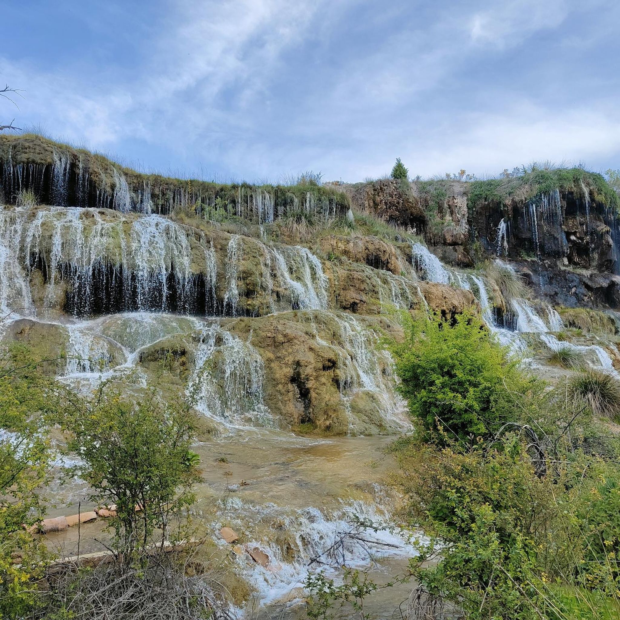
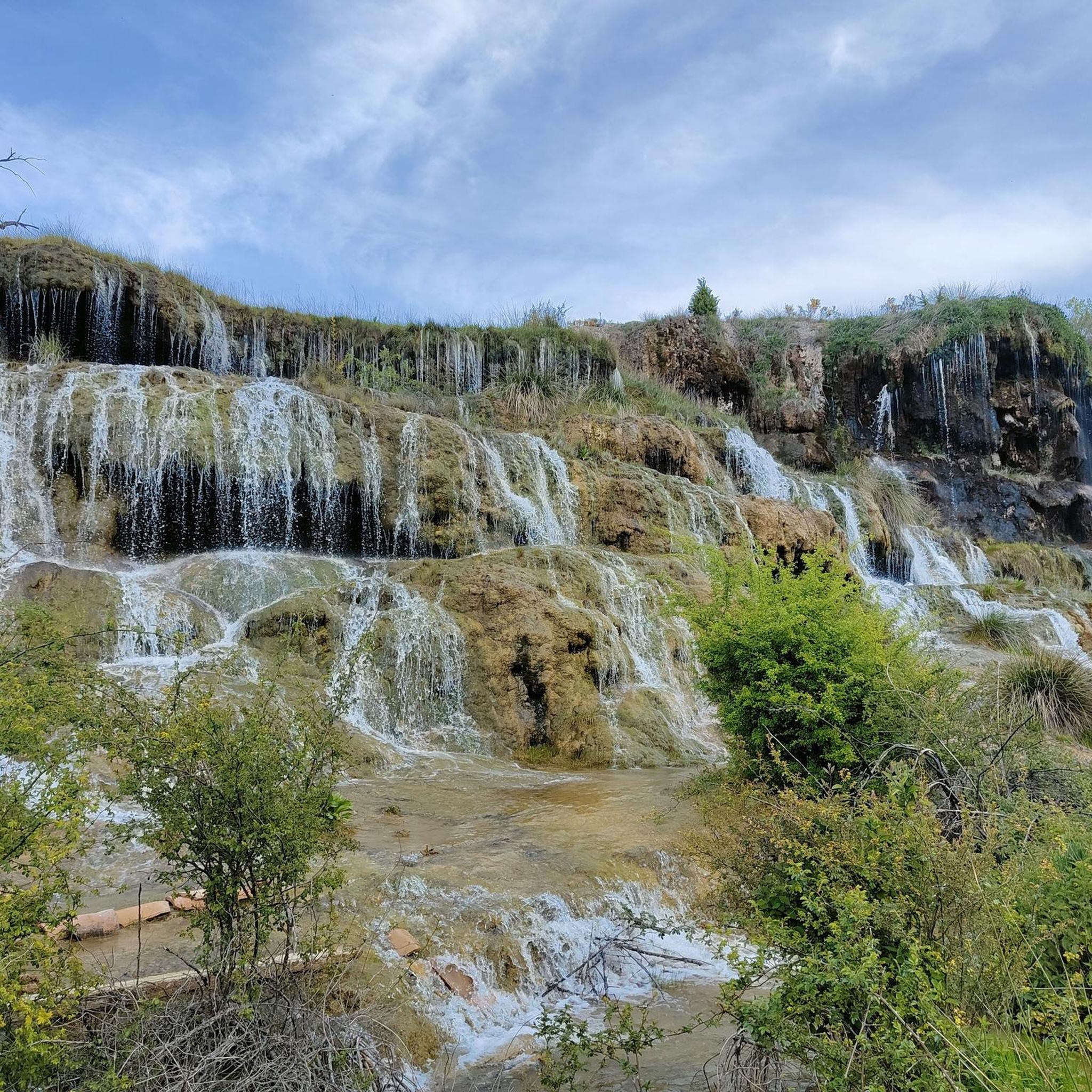
Hiking around Valdemoro-Sierra offers diverse trails through the mountainous relief and Mediterranean forest of Cuenca province. The region is characterized by distinctive sandstone formations, extensive pine forests, and river valleys, including the Cabriel and Guadazaón. Hikers can explore unique geological features such as tufa waterfalls at La Balsa de Valdemoro and the "castillo"-like rock formations. This varied terrain provides a tranquil setting for outdoor activities.
Best hiking trails around Valdemoro-Sierra
- The most popular hiking route is Monteagudillo and La Toba…
Last updated: June 28, 2026
5.0
(1)
4
hikers
Moderate hike. Good fitness required. Easily-accessible paths. Suitable for all skill levels.
2
hikers
16.4km
05:22
500m
500m
Hike the difficult 10.2-mile Casa del Cura trail (PR-CU 105) from Valdemeca, exploring pine forests, waterfalls, and viewpoints.

Sign up for free
5.0
(2)
2
hikers
12.4km
03:29
240m
240m
Hike the moderate PR-CU 112 Molino de Juan Romero Trail in Serranía de Cuenca, covering 7.7 miles with scenic views from Mirador de Beamud.
1
hikers
21.0km
06:41
600m
600m
This difficult 13.0-mile hiking trail in Serranía de Cuenca offers dramatic limestone formations, dense forests, and rich mycological intere
5.0
(1)
9
hikers
18.2km
06:36
590m
590m
Hard hike. Very good fitness required. Mostly accessible paths. Sure-footedness required.
Get access to more routes and recommendations from other explorers.
Sign up for free
Already have an account?
Our route recommendations are based on thousands of hikes, rides, and runs completed by other people on komoot.
Start today with a free account
Your next adventure awaits.
Login or Signup

Tips from the Community

Geodesic vertex at the top of Cabeza de la Herrada. From here you can see the forests surrounding the town of Beamud.
1
0
Path to the north of the Huerta del Marquesado where, in season, you can find various mushrooms. Very pleasant to visit in autumn.
0
0

The top of Monteagudillo, at just over 1,340 meters above sea level, offers wonderful views in all directions, highlighting the beautiful landscape that surrounds the La Toba reservoir.
2
0
The La Toba reservoir was built on the course of the Júcar river, taking advantage of its gorges as it passed through the Ceja de Peña Betaya and Monteagudillo. It is surrounded by a picturesque and beautiful landscape that is worth visiting.
2
0
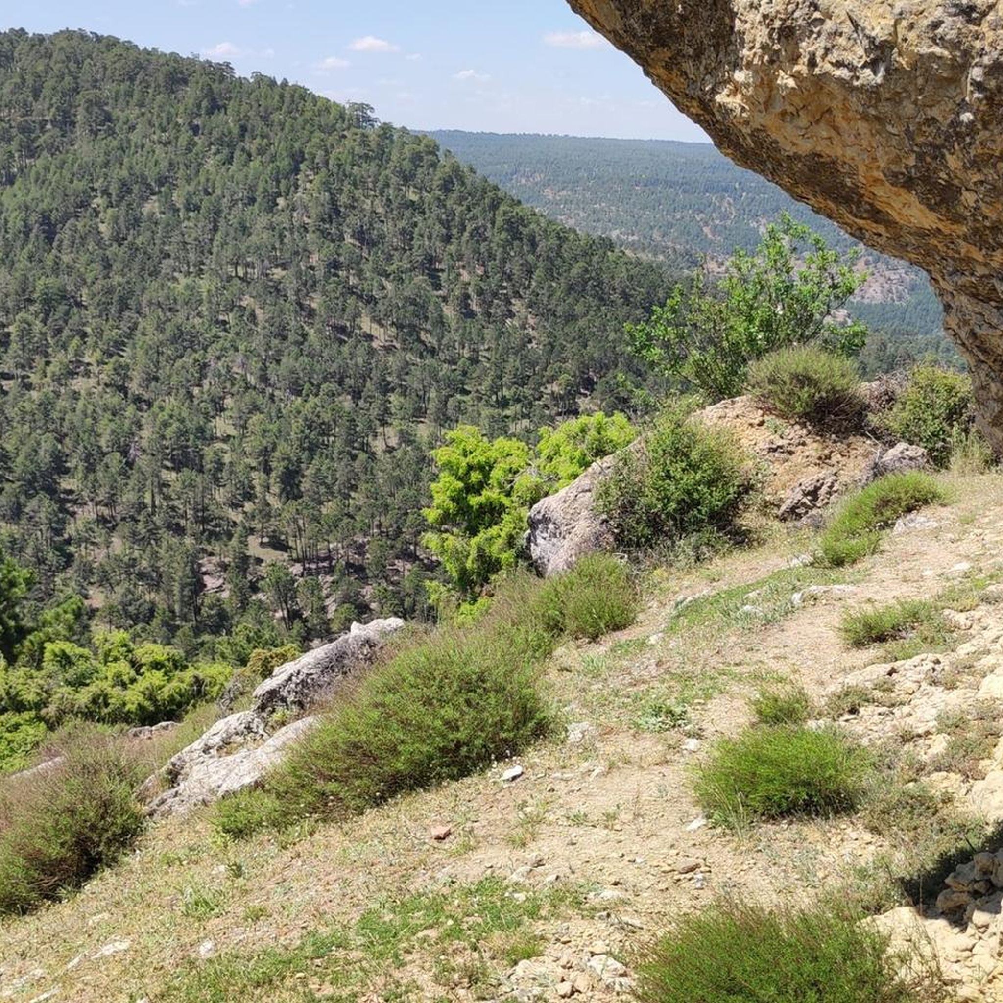
One of the attractions of Monteagudillo is this wonderful cave known as Boquerón, which is located in a fairly remote place on the banks of the Fuencaliente stream. It is accessed by taking a short detour from the marked path PR-CU 108.
2
0
Located in the area known as Los Hontanares, this viewpoint offers beautiful views of the town of Valdemeca and the Cubillejo ravine, a picturesque landscape in the interior of Cuenca.
1
0

small welcoming cafe before the lagoon
0
0
Frequently Asked Questions
What kind of natural features can I expect to see while hiking in Valdemoro-Sierra?
Valdemoro-Sierra is rich in diverse natural features. You can explore distinctive sandstone formations, often described as 'castles' due to their eroded shapes, and extensive pine forests. The region also boasts river valleys, including the Cabriel and Guadazaón, and unique geological sites like Boquerón Cave and the tufa waterfalls at La Balsa de Valdemoro.
Are there any trails that feature waterfalls or opportunities for wild swimming?
Yes, the area is known for
La Balsa de Valdemoro, a natural attraction with a series of waterfalls, pools, and streams formed by calcareous tufa. It's an ideal spot for appreciating nature and even swimming in its cold waters, especially after rain. Additionally, the nearby Laguna del Marquesado Nature Reserve and the Embalse de la Toba offer beautiful natural settings and opportunities for a refreshing swim during summer.
What is the best time of year to go hiking in Valdemoro-Sierra?
The region offers pleasant hiking experiences in spring, summer, and autumn. Spring and autumn provide comfortable temperatures and vibrant landscapes. In autumn, the forests are particularly appealing for mycologists due to a variety of mushrooms. Winter can also be magical, especially at La Balsa de Valdemoro when water freezes into ice formations.
Are there any circular hiking routes in Valdemoro-Sierra?
Yes, there are several circular routes available. One popular option is the Monteagudillo and La Toba reservoir - circular from Fuente de las Tablas via Cueva del Boquerón (PR-CU 108), which is a moderate 12.5 km trail. Another is the Streams and Mushroom Trail Loop, a more challenging 21 km route through forested areas.
What is the general difficulty level of hiking trails in Valdemoro-Sierra?
Valdemoro-Sierra offers a range of trails suitable for different abilities. You'll find routes from low to medium difficulty, perfect for walking or cycling, as well as more challenging paths with significant elevation changes. For example, the Priest's House Trail is considered difficult, covering 16.4 km with substantial ascents.
Are there any family-friendly hiking options in the area?
While specific family-designated trails aren't detailed, the region offers several local routes like 'Bolitas del Airón' and 'Canteras de Yeso' which are generally of low to medium difficulty. These paths are suitable for walking and can be enjoyed by families looking for less strenuous options. La Balsa de Valdemoro is also noted as an ideal spot for families.
What do other hikers say about their experience in Valdemoro-Sierra?
The hiking routes in Valdemoro-Sierra are highly rated by the komoot community, with an average score of 4.2 stars. Hikers often praise the tranquil natural landscapes, the diverse terrain, and the opportunity to enjoy outdoor activities away from mass tourism.
Are there any notable viewpoints or scenic spots along the trails?
Absolutely. The region's distinctive 'castillo'-like rock formations, such as Castillo del Aljibe, Castillo de Las Navazas, and Castillo de la Sierra, provide dramatic scenery and excellent photo opportunities. You can also find a Viewpoint over the La Toba Reservoir, offering splendid natural vistas.
What kind of forests and flora can I observe while hiking?
Valdemoro-Sierra is characterized by extensive and diverse forests. You'll encounter various pine species, including Pinus nigra, Pinus pinaster, and Pinus sylvestris, alongside savin junipers and holm oaks. The unique environment of La Balsa de Valdemoro also supports specific flora like various mosses and the 'culantrillo' (maidenhair fern).
Are there any trails that explore the area around the La Toba reservoir?
Yes, the Monteagudillo and La Toba reservoir - circular from Fuente de las Tablas via Cueva del Boquerón (PR-CU 108) is a popular moderate route that specifically explores the area around the La Toba reservoir and the Boquerón Cave.
What is the longest hiking trail available in Valdemoro-Sierra?
One of the longer and more challenging routes is the Streams and Mushroom Trail Loop, which spans approximately 21.0 km and typically takes around 6 hours and 42 minutes to complete. This difficult trail leads through varied forested areas and along streams.
Are there any trails that follow river valleys?
Yes, the proximity to the Cabriel river valley significantly enhances the area's appeal, offering beautiful routes along the river. Additionally, La Balsa de Valdemoro features streams and pools formed by the Guadazaón River, providing picturesque walks along its banks.
Most popular routes around Valdemoro-Sierra
Most popular attractions around Valdemoro-Sierra

Get inspired with the komoot mobile app


Explore more
Browse the best Hikes in other regions.
