The best running trails around Titaguas
192
runners
24
runs
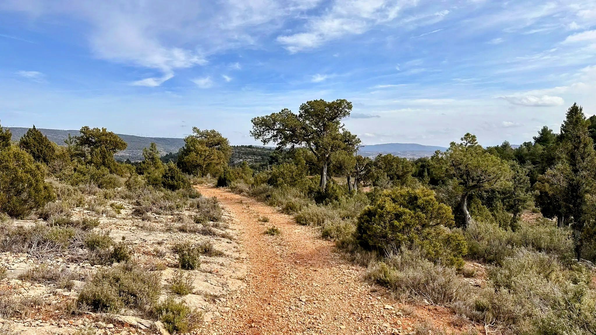
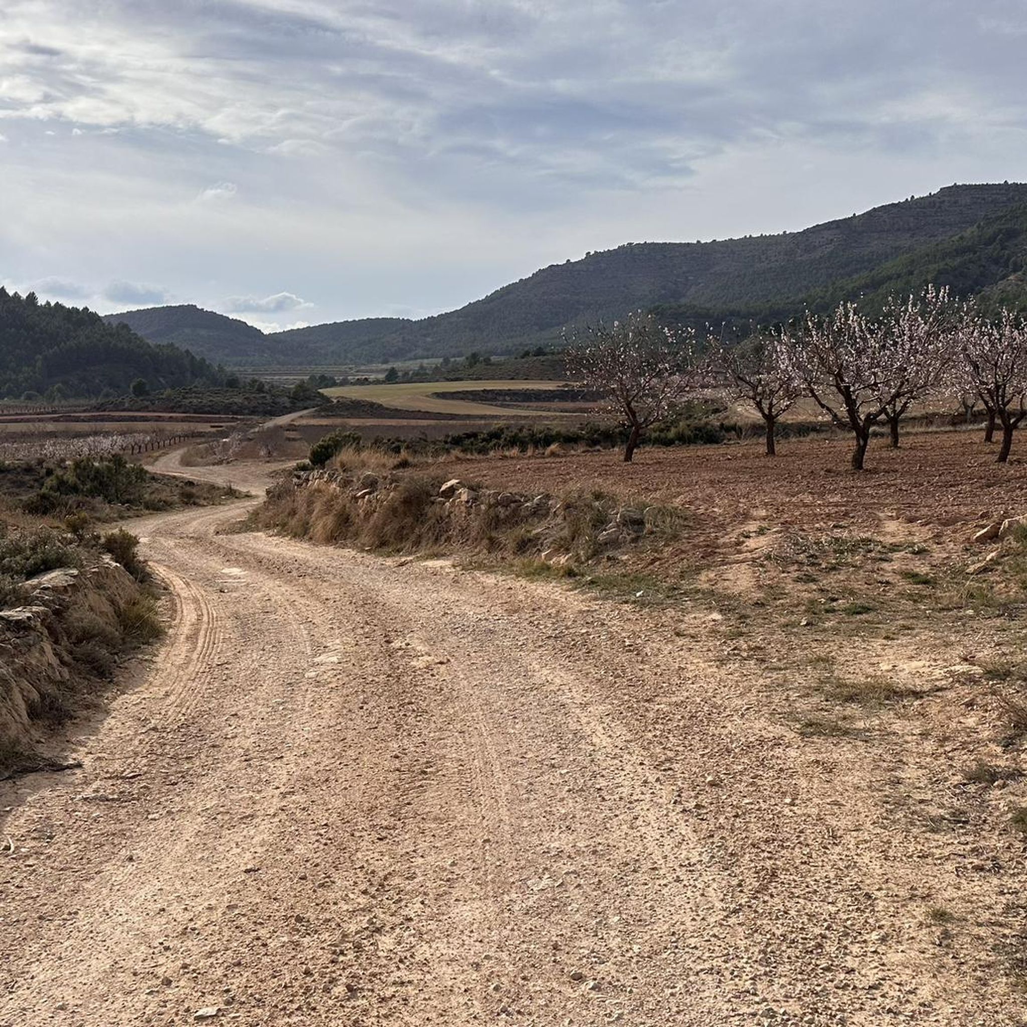
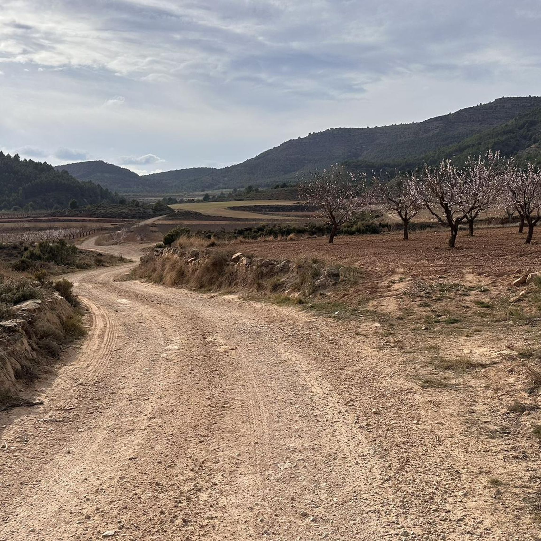
Jogging routes around Titaguas offer a diverse range of experiences within the Valencian mountains, characterized by varied terrain and an extensive network of trails. The region features dense pine and holm oak forests, river valleys carved by the Turia River, and mountainous scenery from the Sierra de Javalambre. Joggers can explore paths ranging from forest tracks and cultivated areas to more challenging mountain routes, including sections of the PRV 41 and PRV 220.
Best jogging routes around Titaguas
- The most…
Last updated: June 28, 2026
34
runners
19.0km
02:49
810m
810m
Hard run. Very good fitness required. Sure-footedness, sturdy shoes and alpine experience required.
16
runners
Hard run. Very good fitness required. Mostly paved surfaces. Suitable for all skill levels.

Sign up for free
12
runners
27.7km
03:59
1,180m
1,180m
Hard run. Very good fitness required. Mostly paved surfaces. Suitable for all skill levels.
8
runners
18.8km
02:28
510m
510m
Hard run. Very good fitness required. Mostly paved surfaces. Suitable for all skill levels.
7
runners
5.09km
00:34
60m
70m
Moderate run. Good fitness required. Mostly paved surfaces. Suitable for all skill levels.
Get access to more routes and recommendations from other explorers.
Sign up for free
Already have an account?
Our route recommendations are based on thousands of hikes, rides, and runs completed by other people on komoot.
Start today with a free account
Your next adventure awaits.
Login or Signup
Other adventures around Titaguas

Tips from the Community

Aras de los Olmos is a mountain village surrounded by mountains and ravines, perfect for those seeking hiking and biking trails surrounded by nature. It is known for its clear skies, recognized with the Starlight Destination certification, making it one of the best places in Europe for astronomical observation. Its heritage includes the parish church, hermitages, a Muslim tower, and a medieval oven that can be visited, as well as paleontological finds such as the Losillasaurus dinosaur. The local cuisine, with dishes such as gachas (porridge), ajoarriero (a garlic stew), and artisanal honey, completes the visit.
0
0
The Los Arcos aqueduct, located in Alpuente, is a 16th and 17th-century hydraulic structure that supplied water to the town and its orchards. With its thirteen pointed arches and a length of 265 meters, the arcade bridged the uneven level of the Reguero River, although the main arch was lost in a flood in 1880. Today, it is preserved as a Site of Cultural Interest and can be easily visited from the road to La Yesa. It is an interesting spot for combining history and hiking; good footwear is recommended to explore the surroundings.
2
0
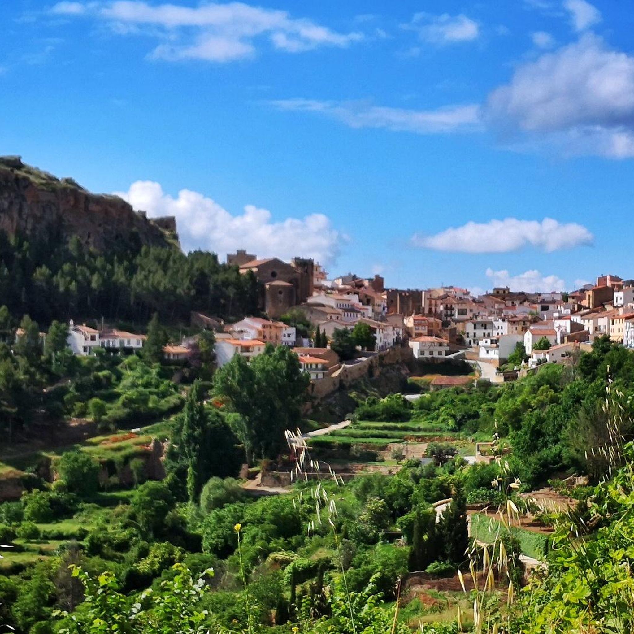
Alpuente is a picturesque town in the Los Serranos region, surrounded by mountains and ravines, making it an ideal destination for hiking enthusiasts. Its historic center preserves remains of walls, towers, and the medieval castle, as well as an interesting paleontological museum with dinosaur fossils. From the town, you can take a 46-kilometer trail that connects its numerous villages, a good option for exploring its natural and rural surroundings. The terrain is rocky and uneven, so it's advisable to wear comfortable shoes and bring water, especially in summer.
1
0

From the parking lot, the trail is challenging. Despite the markings, it's not always easy to find. In some places, you'll need to use your hands to help you.
0
0

A very pretty town located in a very picturesque setting within the region of La Serranía. You can see very nice views both from the town and from the road to there. A highly recommended place to visit.
1
0

At the foot of Pico del Remedio we find this beautiful hermitage with a children's play area, a picnic area with tables, sinks and roasters.
0
0
descent something more than technical from the observatory to the Remedio hermitage following the PR.
0
0
easy climb along the track if you go up the PR you have to be careful, visit more than recommended.
0
0
Frequently Asked Questions
What kind of terrain can I expect on running routes around Titaguas?
Jogging routes in Titaguas offer a diverse range of terrain, from forest tracks and cultivated areas to more challenging mountain paths. You'll find yourself running through dense Mediterranean forests of white pine and holm oaks, along river valleys carved by the Turia River, and across mountainous landscapes within the Sierra de Javalambre.
Are there any easy running routes for beginners in Titaguas?
The routes currently featured in this guide are generally considered more challenging, with 5 moderate and 5 difficult options. While there are no routes specifically classified as 'easy' in this selection, the extensive network of paths and cattle tracks in the region means there are likely gentler options available for those looking for a less strenuous run.
Can I find circular running routes in the Titaguas area?
Yes, several routes around Titaguas are circular, offering convenient starting and ending points. For example, the popular Mirador del Pulpitejo – trail run circular from Talayuelas via the Sendero de la Sierra is a great option for a challenging loop. Another is the Cerro de la Moratilla loop from Titaguas, which provides a substantial run starting and finishing in the town.
What natural attractions can I see while running near Titaguas?
The region is rich in natural beauty. You can explore areas shaped by the Turia River, including the majestic Conquetes canyon and rich riverside forests. The Tuéjar River Waterfall – Water Route and Azud de Tuéjar are notable highlights. The Titaguas Springs Route also links several mountain springs, offering scenic views and diverse landscapes.
Are there any historical or cultural points of interest along the running trails?
Yes, some trails in Titaguas pass by sites of historical and cultural significance. You might encounter rock art in Rincón del Tío Escribano or the remains of Roman iron mines, adding a unique cultural dimension to your outdoor experience. The Archpriest Church of Our Lady of the Angels is also a prominent landmark in the area.
What is the best time of year for running in Titaguas?
Titaguas is known for its generally pristine natural environment and clear skies, being listed as a Starlight destination. This suggests pleasant conditions for outdoor exercise for much of the year. Spring and autumn typically offer milder temperatures, ideal for running, while summer mornings or evenings can also be enjoyable. Winter runs are possible, especially on lower elevation trails.
Are there any long-distance running options available?
Absolutely. Titaguas offers several routes suitable for longer runs. For instance, the Cabezo Chico – Cabezo loop from Campo de Abajo covers nearly 27 km, and the Descent from Pico del Remedio – Remedio Peak loop from Chelva is over 25 km, both providing significant distances and elevation changes for advanced runners.
What makes the running experience in Titaguas unique?
The unique combination of diverse topography, well-preserved natural areas, and an extensive network of trails sets Titaguas apart. Runners can enjoy the tranquility of La Caballera Municipal Natural Park, the challenging ascents of the Sierra de Javalambre, and the ecological value of the Turia River's surroundings, all contributing to a memorable outdoor experience.
How many running routes are available in this guide for Titaguas?
This guide features 10 highly-rated running routes around Titaguas. These routes showcase the best of the region's landscape and cater to various fitness levels, primarily focusing on moderate to difficult trails.
Are there any routes that offer significant elevation changes for a challenging workout?
Yes, many routes in Titaguas feature significant elevation changes, making them ideal for a challenging workout. The region is part of the Sierra de Javalambre, with impressive mountains like Hontanar del Herrero (1,240m) and Pata la Yegua (1,240m). Routes like the Descent from Pico del Remedio loop from Tuéjar traverse mountainous landscapes with substantial climbs and descents.
What do other runners enjoy most about jogging in Titaguas?
Runners often praise the varied terrain and the opportunity to explore dense Mediterranean forests and river valleys. The extensive network of trails, including sections of the PRV 41 and PRV 220, provides ample options for different ability levels, making it a popular destination for those seeking natural beauty and a good workout.
Most popular attractions around Titaguas

Get inspired with the komoot mobile app


Explore more
Browse the best Running Trails & Routes in other regions.
