The best road cycling routes around Fjellsjøkampen
57
riders
3
rides
Road cycling routes around Fjellsjøkampen traverse the Hurdal municipality, an area known for its varied terrain suitable for road cyclists. The region features mostly paved country roads, offering views of farmland and several lakes. While Fjellsjøkampen itself is a prominent hiking destination, the surrounding landscape provides undulating and smooth routes. Cyclists can expect a mix of forest stretches and open agricultural areas.
Best road cycling routes around Fjellsjøkampen
- The most popular road cycling route is Svarthølshaugen – Eidsvollbygningen Café loop…
Last updated: July 12, 2026
18
riders
48.0km
02:10
500m
500m
Moderate road ride. Good fitness required. Some segments of this route may be unpaved and difficult to ride.
6
riders
24.6km
01:01
160m
160m
Easy road ride. Great for any fitness level. Mostly well-paved surfaces and easy to ride.

Sign up for free
19
riders
103km
04:58
1,210m
1,210m
Hard road ride. Very good fitness required. Some segments of this route may be unpaved and difficult to ride.
14
riders
Moderate road ride. Good fitness required. Mostly well-paved surfaces and easy to ride.
Our route recommendations are based on thousands of hikes, rides, and runs completed by other people on komoot.
Start today with a free account
Your next adventure awaits.
Login or Signup
Popular around Fjellsjøkampen

Tips from the Community

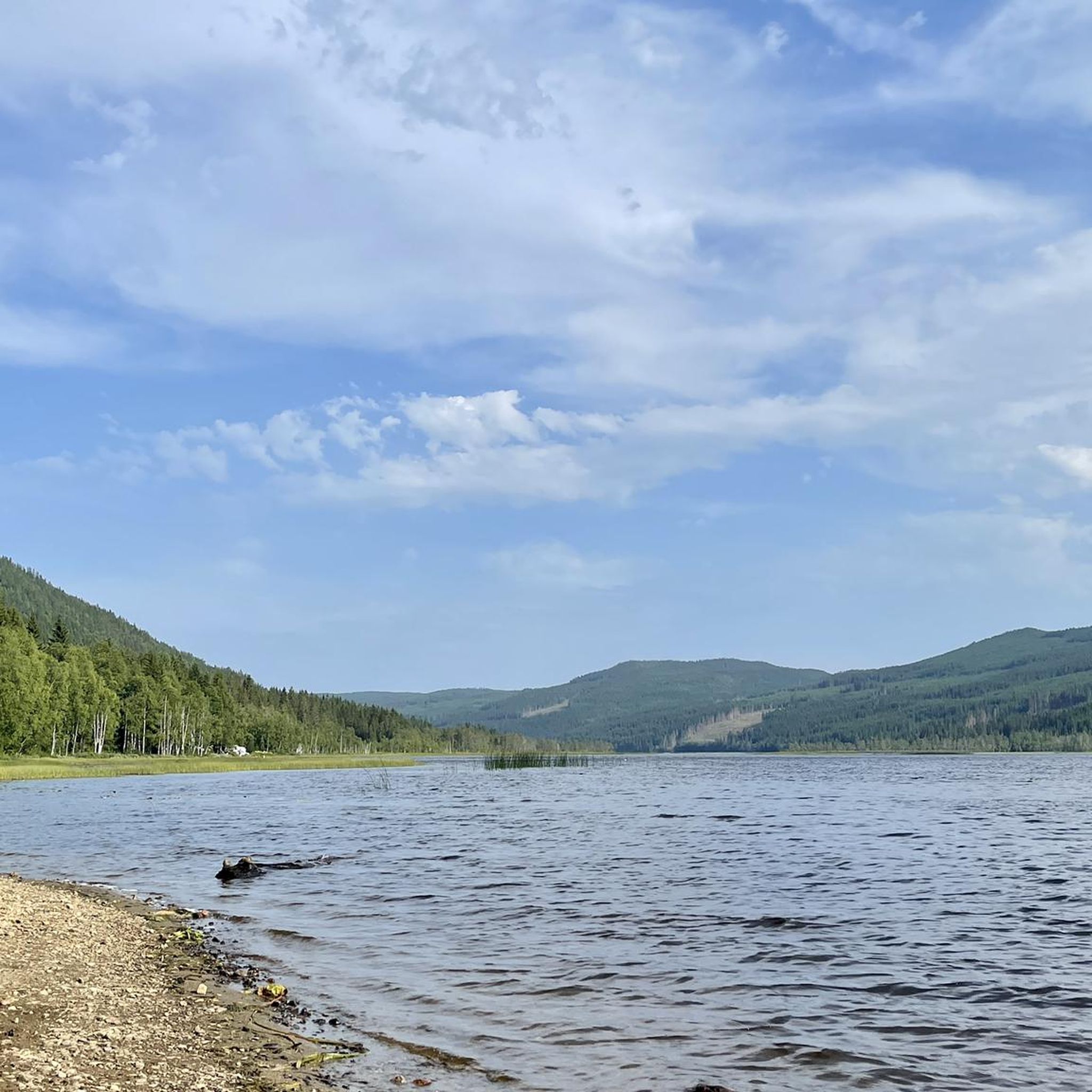
The lake is well hidden behind the forest, but from here you can see its shores and enjoy the magnificent scenery.
0
0
This beautiful forest trail offers a fun and nature-friendly walking experience. In fact, you’ll find several sections designed to protect the ground, with paths built on wooden logs and others on wooden walkways. Please be careful: in wet weather, these paths can be slippery.
0
0

The Aurmoen landskapsvernområde is a nature reserve north of Oslo Airport. Here you will find a car park that serves as the starting point for the many paths that criss-cross the area. As it borders a military base, you should check in advance whether any exercises are taking place. You can find the barracks' telephone number here: https://www.forsvaret.no/om-forsvaret/tjenestesteder/sessvollmoen.
0
0

Consider stopping at Lien Hoa Dao Trang Buddhist Temple, the serene Lotus Temple serving the Vietnamese Buddhist community. Guided visits are often available – just contact the temple ahead for availability and schedules. Visitors are asked to dress modestly, arrive a few minutes early, remove shoes before entering, and observe quiet respect while inside.
0
0

This bridge on the Nedre Granlivegen road goes across the Leira river. It serves as a functional crossing point while cycling on the quiet routes in the area. It's a good chance to take a break and enjoy a pleasant view of the river flowing below.
0
0

Very cozy, nice staff. Pilgrims can help themselves to free coffee.
1
0
Birthplace of the Norwegian Constitution (Constitution Building).
1
0
Frequently Asked Questions
How many road cycling routes are available around Fjellsjøkampen?
The komoot guide features 4 highly-rated road cycling routes around Fjellsjøkampen, offering diverse experiences for cyclists. These routes have been explored by nearly 60 road cyclists.
What is the typical terrain like for road cycling in the Fjellsjøkampen area?
The Hurdal municipality, where Fjellsjøkampen is located, offers varied terrain for road cycling. You'll find mostly paved country roads with picturesque views of farmland and several lakes. Routes are often described as undulating and smooth, providing a mix of forest stretches and open agricultural areas.
Are there road cycling routes suitable for beginners or families?
Yes, there are options for easier rides. For instance, the Dalsberga loop from Hurdal kirke is an easy 24.6 km (15.3 miles) path, offering a tranquil ride through varied landscapes, typically completed in about 1 hour.
Are there challenging road cycling routes for experienced cyclists?
Absolutely. For those seeking a longer and more challenging ride, the Lake Stråtjern – Bridge over the Leira River loop from Hurdal kirke is a difficult 101.5 km (63.1 miles) trail with significant elevation gain, often taking around 4 hours and 42 minutes to complete.
What kind of elevation gain can I expect on these routes?
Elevation gain varies significantly by route. For example, the easy Dalsberga loop from Hurdal kirke has about 164 meters of ascent, while the more challenging Lake Stråtjern – Bridge over the Leira River loop from Hurdal kirke features over 1150 meters of climbing.
Are there any scenic viewpoints or landmarks along the road cycling routes?
The routes often pass through scenic areas with views of farmland and lakes. The broader Hurdal region is known for its diverse landscapes, including the large Hurdalsjøen lake. While Fjellsjøkampen itself is a hiking destination with panoramic views, the cycling routes offer picturesque glimpses of the surrounding nature and cultural landscapes.
Are there any cafes or places to stop for refreshments along the routes?
The Hurdal region has some local spots. For example, the area features points of interest such as Torsetra, which occasionally has a café open on weekends. It's advisable to check local opening hours before your ride.
What is the best season for road cycling in the Fjellsjøkampen area?
The best season for road cycling in the Fjellsjøkampen area, like much of Norway, is typically from late spring through early autumn (May to September). During these months, the weather is generally milder, and roads are clear of snow and ice, offering the most pleasant cycling conditions.
Are there circular road cycling routes available?
Yes, many of the routes in the Fjellsjøkampen area are designed as loops, allowing you to start and end at the same point. Examples include the popular Svarthølshaugen – Eidsvollbygningen Café loop from Hurdal verk and the Lake Stråtjern – Bridge over the Leira River loop from Hurdal kirke.
Where can I park when starting a road cycling tour in the Fjellsjøkampen area?
Many routes, such as those starting from Hurdal verk or Hurdal kirke, offer convenient parking options nearby. It's recommended to check the specific route details on komoot for designated parking areas at the starting points.
Is public transport available to reach the starting points of these routes?
While the Hurdal municipality is accessible, public transport options might be limited directly to all starting points. It's best to research local bus services or regional trains to nearby towns and plan your connection to the route's start. For more information on regional transport, you might consult local tourism resources like Visit Greater Oslo.
How long are the road cycling routes in this area?
The routes vary in length to suit different preferences. You can find shorter loops like the Dalsberga loop from Hurdal kirke at 24.6 km (15.3 miles), or longer, more demanding rides such as the Lake Stråtjern – Bridge over the Leira River loop from Hurdal kirke, which spans over 100 km (63.1 miles).
Most popular routes around Fjellsjøkampen

Get inspired with the komoot mobile app


Explore more
Browse the best Road cycling routes in other regions.
