The best road cycling routes around Alocén
3.0
(2)
269
riders
30
rides
Road cycling around Alocén offers diverse landscapes characterized by hilly topography, winding roads, and varied natural features. The region is dominated by the expansive Entrepeñas reservoir and the Tagus River, providing routes with views of calcareous cliffs and pine forests. Cyclists can expect comfortable climbs and exhilarating descents, often on roads with minimal traffic, traversing plains, pine and holm oak forests, and riverbanks lined with olive groves.
Best road cycling routes around Alocén
- The most popular road cycling route is Entrepeñas Reservoir Loop, a 39.3 miles (63.2 km) trail that takes 3 hours 21 minutes to complete. This difficult route encircles the expansive Entrepeñas reservoir.
- Another top favourite among local road cyclists is Entrepeñas Reservoir Dam – Puerto de Casasana loop from Pareja, a difficult 34.5 miles (55.5 km) path. This route leads through the reservoir area and towards Puerto de Casasana.
- Local road cyclists also love the Entrepeñas Reservoir Dam – Entrepeñas Viaduct loop from Valdegollado, a 55.1 miles (88.8 km) trail leading through the reservoir area and past the Entrepeñas Viaduct, often completed in about 4 hours 15 minutes.
- Road cycling around Alocén is defined by the Entrepeñas reservoir, pine forests, and hilly topography. The network offers options for easy, moderate, and difficult routes, catering to various ability levels.
- The guide includes highly-rated routes that showcase the best of the region's landscape. More than 250 road cyclists have used komoot to explore Alocén's varied terrain.
Last updated: July 2, 2026
9
riders
63.2km
03:21
1,070m
1,070m
This difficult 39.3-mile road cycling route around Entrepeñas Reservoir offers challenging climbs and stunning views in La Alcarria.
15
riders
55.5km
02:57
1,040m
1,040m
Hard road ride. Very good fitness required. Some segments of this route may be unpaved and difficult to ride.

Sign up for free
15
riders
88.8km
04:16
1,160m
1,160m
Hard road ride. Very good fitness required. Mostly well-paved surfaces and easy to ride.
8
riders
102km
04:47
1,340m
1,340m
Hard road ride. Very good fitness required. Mostly well-paved surfaces and easy to ride.
12
riders
62.7km
02:42
550m
540m
Moderate road ride. Good fitness required. Mostly well-paved surfaces and easy to ride.
Get access to more routes and recommendations from other explorers.
Sign up for free
Already have an account?
Our route recommendations are based on thousands of hikes, rides, and runs completed by other people on komoot.
Start today with a free account
Your next adventure awaits.
Login or Signup

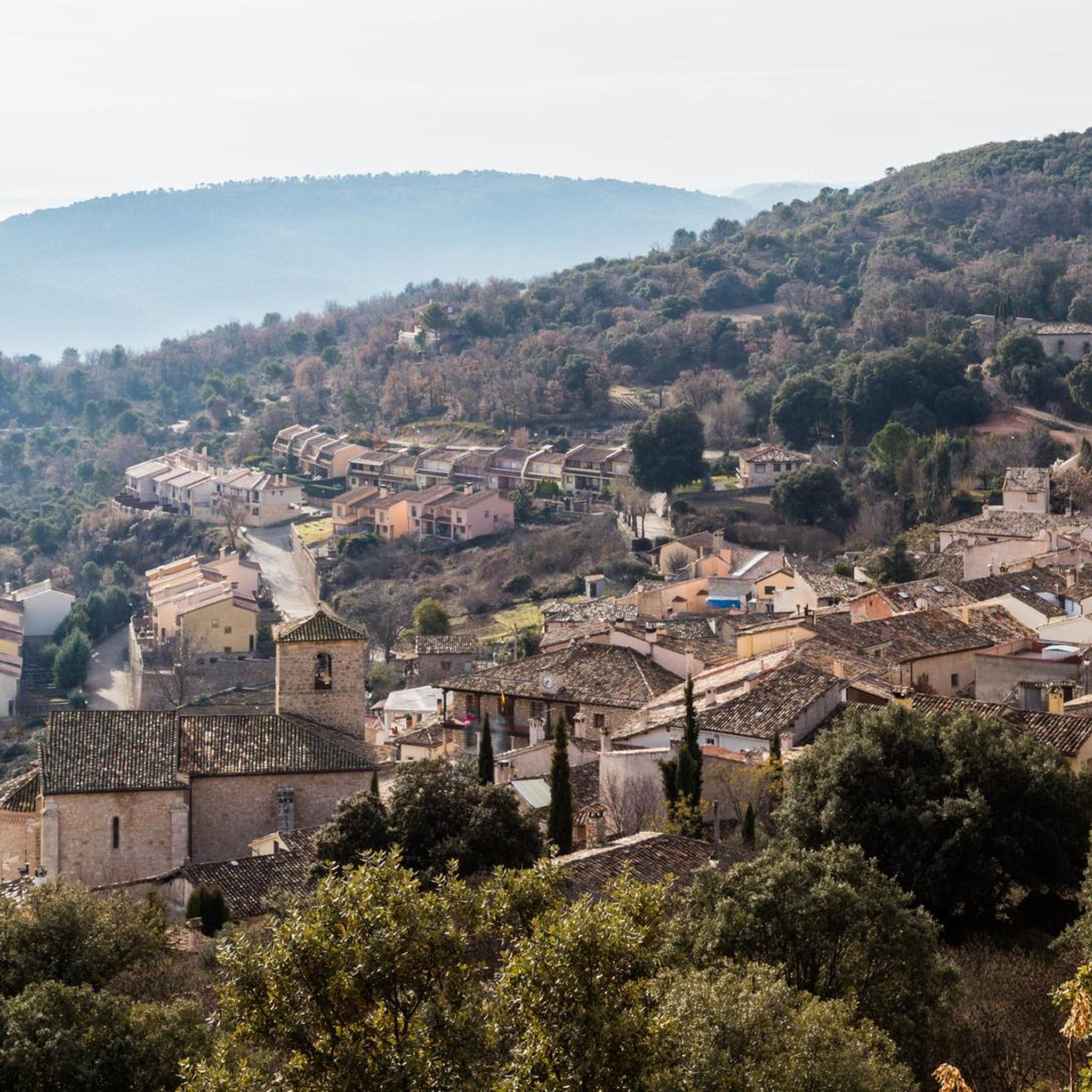
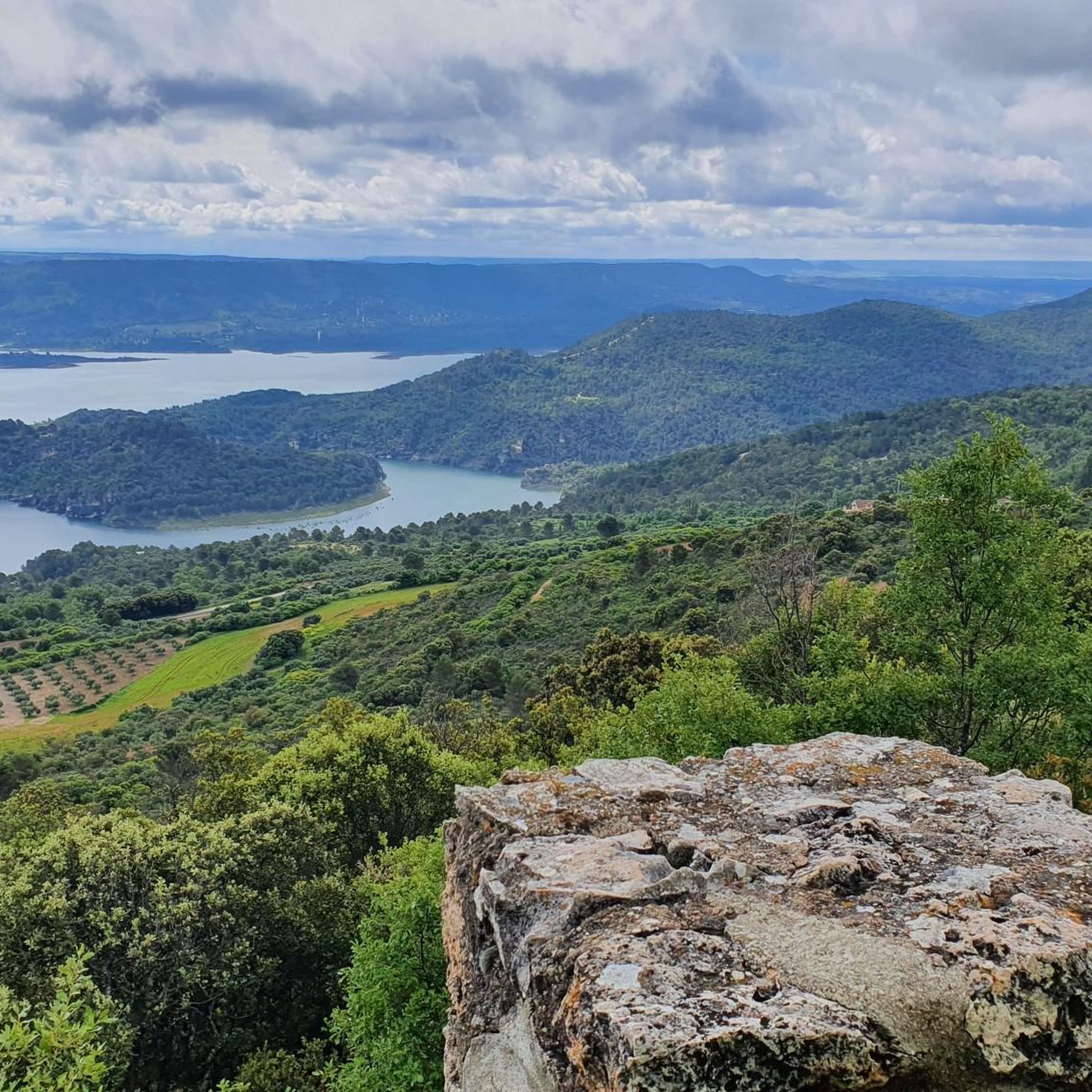
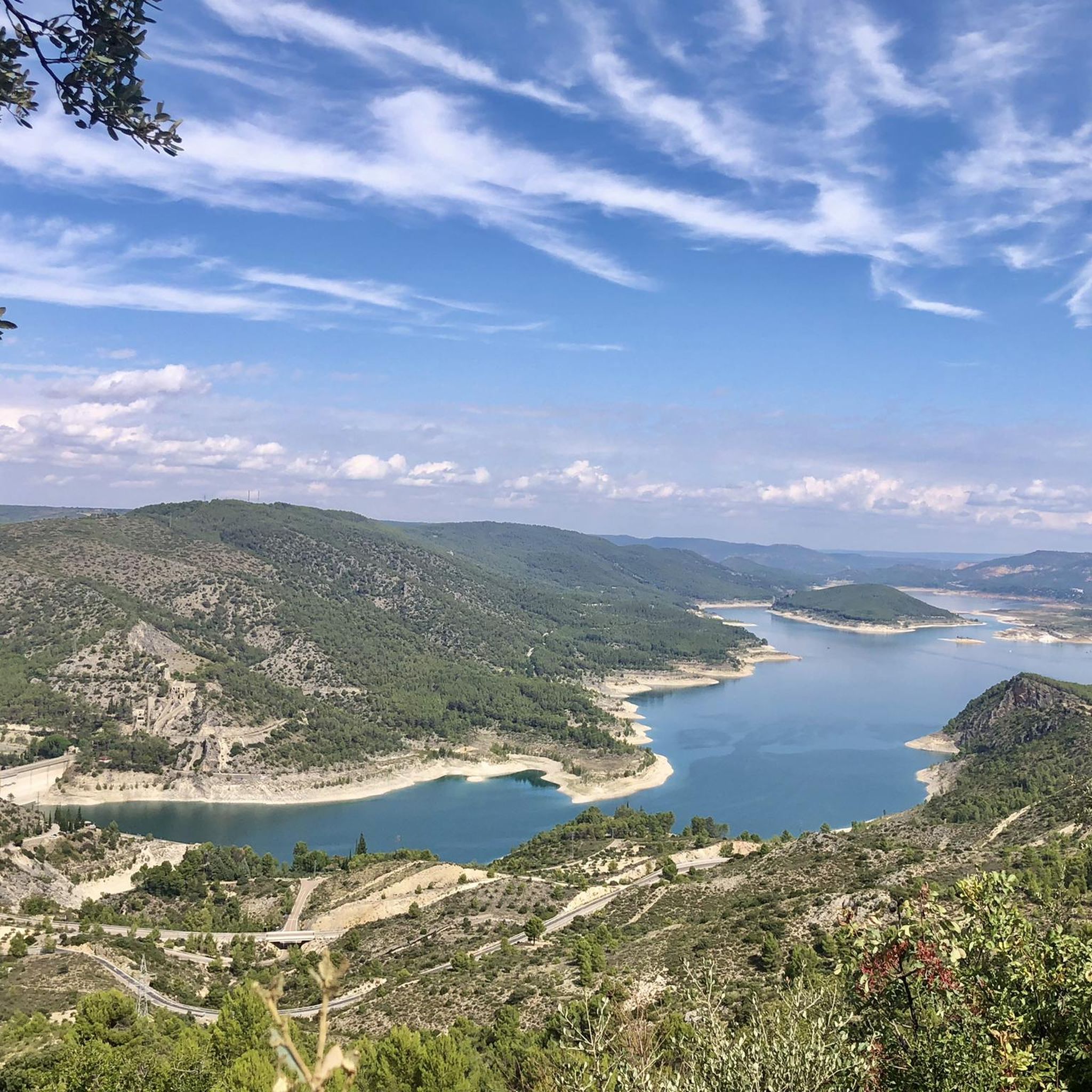

Other adventures around Alocén

Tips from the Community

This time we went down to the River through the Presa tunnel.
1
0
The Embalse Dam and the entire area is very touristy, suitable for quiet hiking.
1
0

The parish church of Nuestra Señora de la Asunción is the main monument in Valdeolivas, declared a Bien de Interés Cultural in 1982. It is a Romanesque temple of the XII-XIII siglos with a beautiful tower.
1
0

The parish church of Nuestra Señora de la Asunción is the main monument of Valdeolivas. It is a Romanesque temple from the 12th-13th centuries that has a beautiful tower.
1
0

The Entrepeñas viaduct is an impressive construction that allows you to cross this reservoir located in the bed of the Tagus River.
1
0

Nuestra Señora de la Asunción, stands out for its slender tower that distinguishes the cutout in the sky of the profile of the municipality, and appears in the story of the Trip to the Alcarria by Camilo José Cela; Its Renaissance façade and its transitional Gothic interior also stand out.
4
0

Great walk through the incredibly diverse landscape created around the Entrepeñas Reservoir located near the city of Sacedón.
1
0
Magnificent arched viaduct built over the Tagus River and the Entrepeñas Reservoir.
1
0
Frequently Asked Questions
How many road cycling routes are available around Alocén?
Alocén offers a diverse network of over 30 road cycling routes. These routes cater to various skill levels, with options ranging from easy to difficult, allowing cyclists to explore the region's unique landscapes.
What kind of terrain can I expect when road cycling in Alocén?
The terrain around Alocén is characterized by a hilly topography, with panoramic roads winding through mountains, oak and pine forests, and along the expansive Entrepeñas reservoir. You'll encounter comfortable, quiet climbs and exhilarating descents, often on roads with minimal traffic. The landscape also includes calcareous cliffs, plains, and riverbanks lined with olive groves.
What is the best time of year for road cycling in Alocén?
The region is generally suitable for cycling for much of the year. Spring and autumn offer pleasant temperatures and vibrant scenery. While summer can be warm, many routes benefit from the shade of pine forests and the refreshing presence of the reservoir. Always check local weather conditions before heading out.
Are there routes suitable for beginners or families in Alocén?
Yes, Alocén offers at least one easy road cycling route, and several moderate options that could be suitable for less experienced riders or families looking for a more relaxed pace. These routes often feature lower elevation gains and less challenging terrain, allowing for an enjoyable experience for all.
Are there challenging road cycling routes for experienced riders?
Absolutely. For experienced cyclists seeking a challenge, Alocén provides 19 difficult routes. These often feature significant elevation gains and longer distances. An example is the Entrepeñas Reservoir Loop, a demanding 63.2 km route with over 1000 meters of elevation gain, offering a true test of endurance.
What scenic viewpoints or landmarks can I see while cycling around Alocén?
Many routes offer stunning views of the Entrepeñas Reservoir and the Tagus River. Notable landmarks include the Sanctuary of the Virgen del Madroñal, which overlooks the reservoir, and the Entrepeñas Dam Viewpoint. You can also spot the Monument to the Sacred Heart of Jesus of La Coronilla and the impressive Entrepeñas Viaduct.
Are there any circular road cycling routes around Alocén?
Yes, many of the road cycling routes in Alocén are designed as loops, allowing you to start and finish in the same location. Popular circular routes include the Entrepeñas Viaduct – Entrepeñas Reservoir Dam loop from San Andrés del Rey and the Entrepeñas Reservoir Dam – Puerto de Casasana loop from Pareja, both offering extensive tours of the reservoir area.
Is there parking available for cyclists in Alocén?
Alocén and surrounding towns often have public parking areas where cyclists can leave their vehicles. Given the region's focus on outdoor activities, you'll typically find convenient spots, especially near popular starting points for routes. It's always a good idea to check specific parking availability for your chosen starting location.
How can I reach Alocén by public transport for cycling?
While Alocén is somewhat rural, it is accessible by public transport, though options might be limited. Buses connect Alocén to larger towns in the Guadalajara province. For detailed schedules and routes, it's recommended to consult local public transport websites or services that operate in the Castilla-La Mancha region, especially if you plan to bring your bike.
Are there places to eat or drink along the cycling routes?
Yes, Alocén itself has charming, narrow streets with local establishments. As you cycle through the region, you'll find small villages and towns that may offer cafes and restaurants where you can refuel and enjoy local cuisine. Planning your route to pass through these towns can enhance your cycling experience with a well-deserved break.
What do other road cyclists say about the routes in Alocén?
The road cycling routes around Alocén are highly regarded by the komoot community. Over 300 cyclists have explored the area using komoot, praising the diverse terrain, the stunning views of the Entrepeñas reservoir, and the generally low traffic volumes on many of the roads, which contributes to a peaceful and enjoyable riding experience.
Are there any very long-distance road cycling routes available?
Yes, for those looking for longer rides, routes like Peñafiel Lake – Arandilla del Arroyo loop from Pareja extend over 100 km, offering extensive exploration of the Alcarria region. These routes combine the scenic beauty of the reservoirs with the varied landscapes of the surrounding countryside.
Most popular attractions around Alocén

Get inspired with the komoot mobile app


Explore more
Browse the best Road cycling routes in other regions.
