The best walks and hikes around Almonacid De Zorita
4.4
(41)
348
hikers
25
hikes
Hiking around Almonacid De Zorita offers diverse landscapes within the La Alcarria region of Guadalajara, Spain. The area is characterized by the Tajo River and its associated reservoirs, such as Bolarque and Buendía, providing scenic waterscapes. Trails often feature varied terrain, including geological formations, fields, and holm oak forests, with historical sites integrated into many routes.
Best hiking trails around Almonacid De Zorita
- The most popular hiking route is Ermita de Nuestra Señora de los Desamparados – circular along the…
Last updated: July 7, 2026
4.7
(12)
117
hikers
Moderate hike. Good fitness required. Easily-accessible paths. Suitable for all skill levels.
4.5
(4)
27
hikers
15.2km
03:59
120m
120m
Moderate hike. Good fitness required. Easily-accessible paths. Suitable for all skill levels.

Sign up for free
5.0
(2)
3
hikers
14.6km
03:57
200m
200m
Explore history and nature on this moderate 9.0-mile hike past Castillo de Zorita de los Canes and Recópolis Archaeological Park.
5.0
(2)
3
hikers
10.6km
03:04
260m
250m
Moderate hike. Good fitness required. Easily-accessible paths. Suitable for all skill levels.
2
hikers
10.6km
03:04
260m
260m
Moderate 6.6-mile circular hike in Sierra de Altomira, offering panoramic views and unique geological features from Saceda-Trasierra.
Get access to more routes and recommendations from other explorers.
Sign up for free
Already have an account?
Our route recommendations are based on thousands of hikes, rides, and runs completed by other people on komoot.
Start today with a free account
Your next adventure awaits.
Login or Signup
Tips from the Community

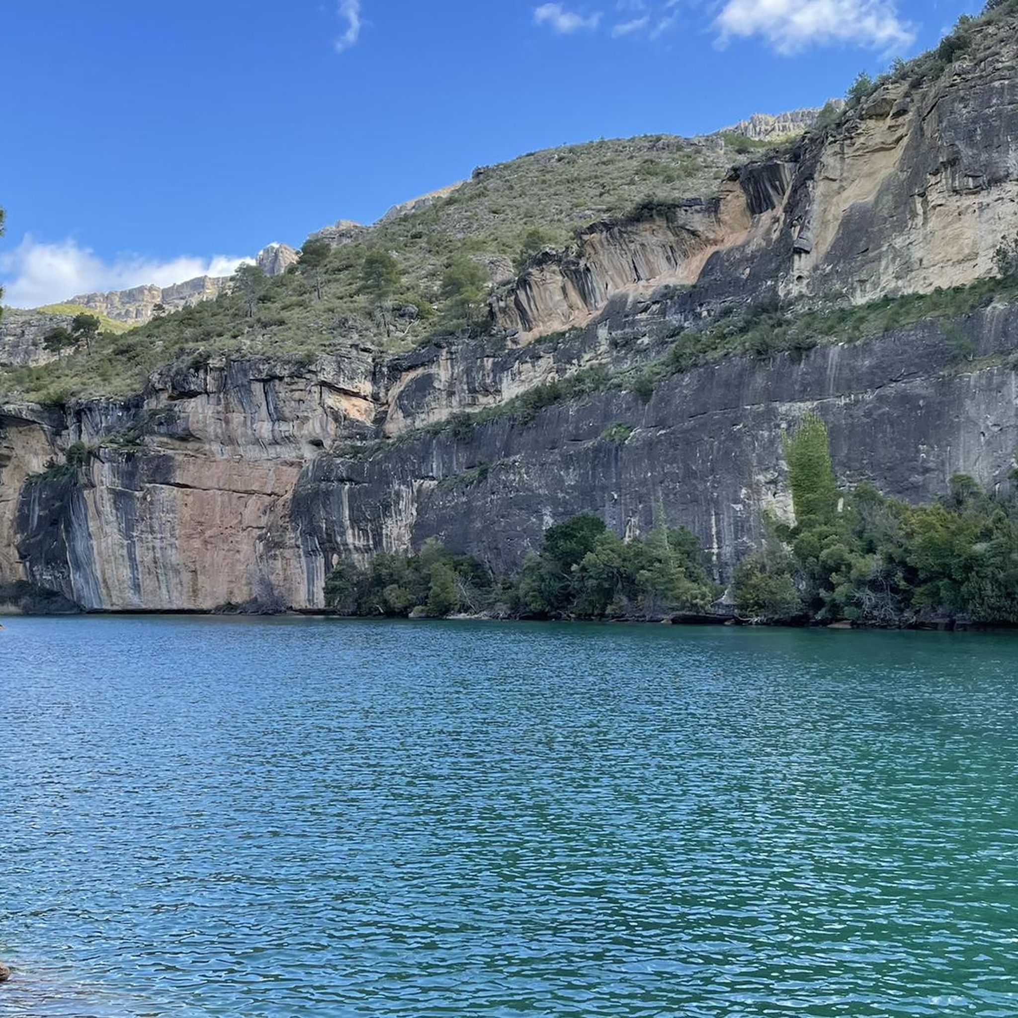
The Peña de la Virgen viewpoint is located near the Entrepeñas and Buendía reservoirs, close to the village of Buendía, within the municipality of Sacedón. It is situated very near: Santa María de Poyos, a submerged village now in ruins (2 km to the northwest). Buendía (6 km to the south). Cañaveruelas (9 km to the east). From this viewpoint, there are beautiful views of the Buendía reservoir, making it a popular spot for enjoying the scenery.
1
0
Free access tourist route located near the municipality of Buendía, Cuenca, among pine forests, sandstone stones abound. Here you will find the Ruta de las Caras, a hiking route of a couple of kilometers in which you will be accompanied by pine trees and allegorical sculptures. Faces sculpted in sandstone rock of different sizes, some spectacular, with dimensions of four and six meters, which took eight years to sculpt due to the hardness of the rock.
4
0

A very entertaining route admiring the extraordinary work of the artists.
1
0
This time we went down to the River through the Presa tunnel.
1
0
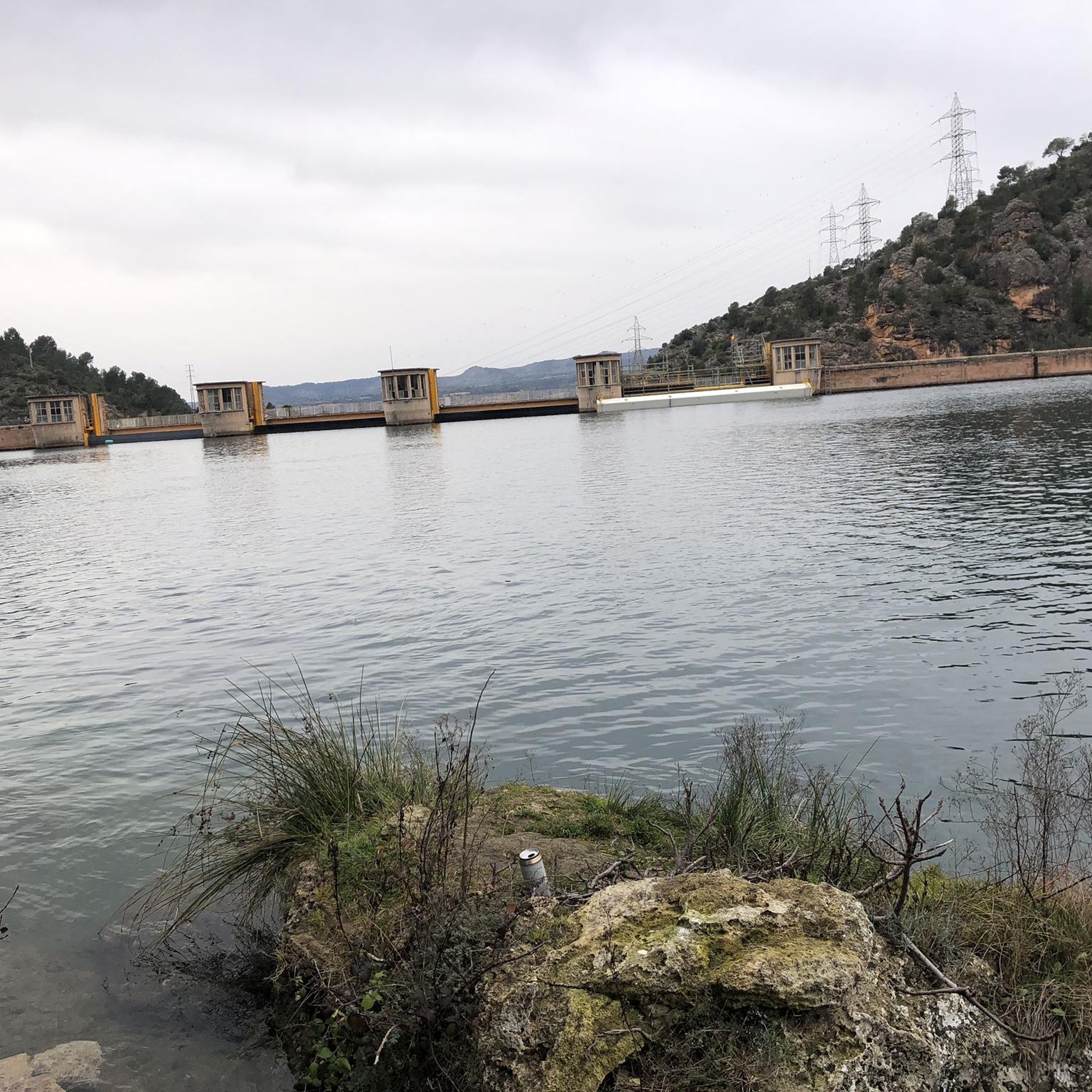
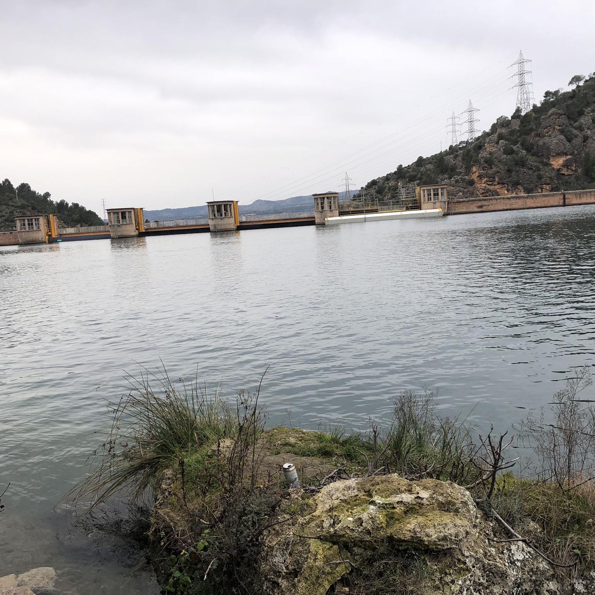
The Embalse Dam and the entire area is very touristy, suitable for quiet hiking.
1
0
Place of pilgrimage and visits on the Guadiela path. There is a recreation area for adults and children.
2
0

Nice path through the Sierra de Altomira, a terrain of little difficulty.
0
1
The place where the hermitage is located is the highest point of the Sierra de Altomira, which stands out over the territory. On clear days you can enjoy the exceptional views of La Alcarria, northern La Mancha and the Meseta Madrileña. Next to the hermitage is the geodesic vertex of the Altomira peak (1183 m) and, a little further north, the ruins of an old tower located in a watchtower.
1
1
Frequently Asked Questions
How many hiking trails are available in Almonacid De Zorita?
There are over 20 hiking routes around Almonacid De Zorita. These include a mix of easy and moderate trails, offering diverse experiences for different skill levels.
What kind of terrain can I expect on hikes in Almonacid De Zorita?
Hiking in Almonacid De Zorita features varied terrain, from tranquil riverine paths along the Tajo and Guadiela rivers to areas with interesting geological formations, fields of cereal, and holm oak forests. You'll also encounter historical sites integrated into many routes.
Are there any family-friendly hiking options in Almonacid De Zorita?
Yes, the area offers several easy routes suitable for families. While specific 'family-friendly' routes aren't detailed, the presence of 4 easy trails suggests options for those with children or looking for a less strenuous walk. The varied landscapes and historical points of interest can also keep younger hikers engaged.
What historical sites can I explore while hiking in the region?
The Almonacid De Zorita area is rich in history. You can explore sites like the Recópolis Archaeological Site, the ruins of an ancient Visigothic city, or the Zorita de los Canes Castle, an Arab-origin fortification. The Camino de Zorita and Recópolis Loop is a great route that combines natural landscapes with these historical landmarks.
Are there any circular walks available in Almonacid De Zorita?
Yes, many routes in the area are circular. For example, the Ermita de Nuestra Señora de los Desamparados – circular along the Guadiela River (PR-CU 47) and the Route of the Faces - circular from Buendía (PR-CU 46) are popular circular options, allowing you to start and end at the same point.
What are some notable natural features or viewpoints to see on a hike?
The region is known for its scenic waterscapes, particularly around the Tajo River and the Bolarque and Buendía reservoirs. You can also visit the unique rock formations along the Route of the Faces. For panoramic views, consider seeking out the Cruz de los Borrachos Viewpoint or the elevated areas around Pico San Cristóbal.
What is the best time of year to go hiking in Almonacid De Zorita?
The area is generally suitable for hiking at any time of year. However, it's advisable to avoid midday during the summer months due to heat. Spring and autumn offer pleasant temperatures and vibrant landscapes, while winter can provide crisp, clear days for walking.
What do other hikers say about the trails in Almonacid De Zorita?
The hiking routes in Almonacid De Zorita are highly rated by the komoot community, with an average score of 4.4 stars from over 30 reviews. Hikers often praise the mix of natural beauty, tranquil river views, and the historical elements integrated into the trails.
Are there any trails that follow rivers or offer waterside views?
Absolutely. The region is defined by its proximity to the Tajo River and its reservoirs. The Ermita de Nuestra Señora de los Desamparados – circular along the Guadiela River (PR-CU 47), for instance, offers tranquil riverine views along the Guadiela River, a tributary of the Tajo.
What is the typical duration for a moderate hike in this area?
Moderate hikes in Almonacid De Zorita typically range from 3 to 4 hours. For example, the Altomira Trail is about 3 hours, while the Camino de Zorita and Recópolis Loop takes approximately 3 hours and 56 minutes.
Are there any trails that lead to unique natural monuments?
Yes, the area features several natural monuments. The Route of the Faces is a prominent natural monument with unique rock formations that can be explored via the Route of the Faces - circular from Buendía (PR-CU 46) trail.
Most popular attractions around Almonacid De Zorita

Get inspired with the komoot mobile app


Explore more
Browse the best Hikes in other regions.
