The best running trails around Prado De La Guzpeña
12
runners
4
runs
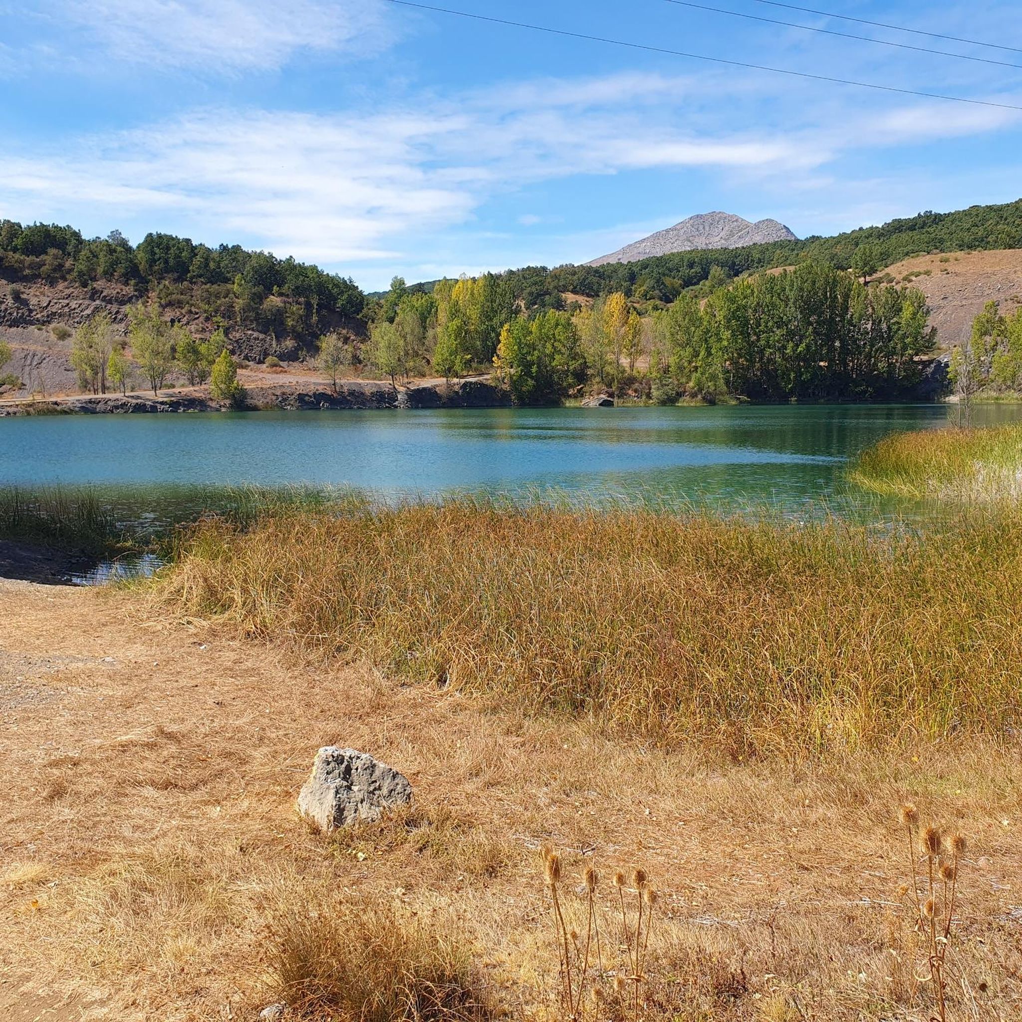
Jogging around Prado De La Guzpeña offers a diverse landscape for runners, characterized by mountainous terrain, ancient forests of oak and holm oak, and the winding Cea River. The region features varied elevations, from serene riverbanks to challenging ascents like Peñacorada, providing a range of running experiences. Karstic formations and expansive meadows like El Prado add to the natural features encountered on the trails.
Best jogging routes around Prado De La Guzpeña
- The most popular jogging route is Ruta de…
Last updated: June 28, 2026
4
runners
8.91km
01:06
200m
200m
Moderate run. Good fitness required. Mostly paved surfaces. Suitable for all skill levels.
2
runners
Moderate run. Good fitness required. Mostly paved surfaces. Suitable for all skill levels.

Sign up for free
4
runners
10.4km
01:13
210m
210m
Moderate run. Good fitness required. Mostly paved surfaces. Suitable for all skill levels.
2
runners
9.45km
01:19
360m
360m
Hard run. Very good fitness required. Mostly paved surfaces. Suitable for all skill levels.
Our route recommendations are based on thousands of hikes, rides, and runs completed by other people on komoot.
Start today with a free account
Your next adventure awaits.
Login or Signup
Tips from the Community

The Mercadillo Bridge is a historic civil structure located over the Esla River, near Sorriba del Esla, within the municipality of Cistierna (province of León). It likely has Roman origins, forming part of the ancient Esla road or Via Saliámica. It is mentioned in medieval documents, including records from the Monastery of Gradefes and the will of Countess Doña Sancha in 1234, confirming its existence and use during the Middle Ages.
5
0

A very beautiful medieval bridge that still stands here.
1
0

Running along the route of the Mines we find this beautiful viewpoint. This is the Esla viewpoint, which offers wonderful views of Aleje and Alejico and the surrounding mountains.
1
1
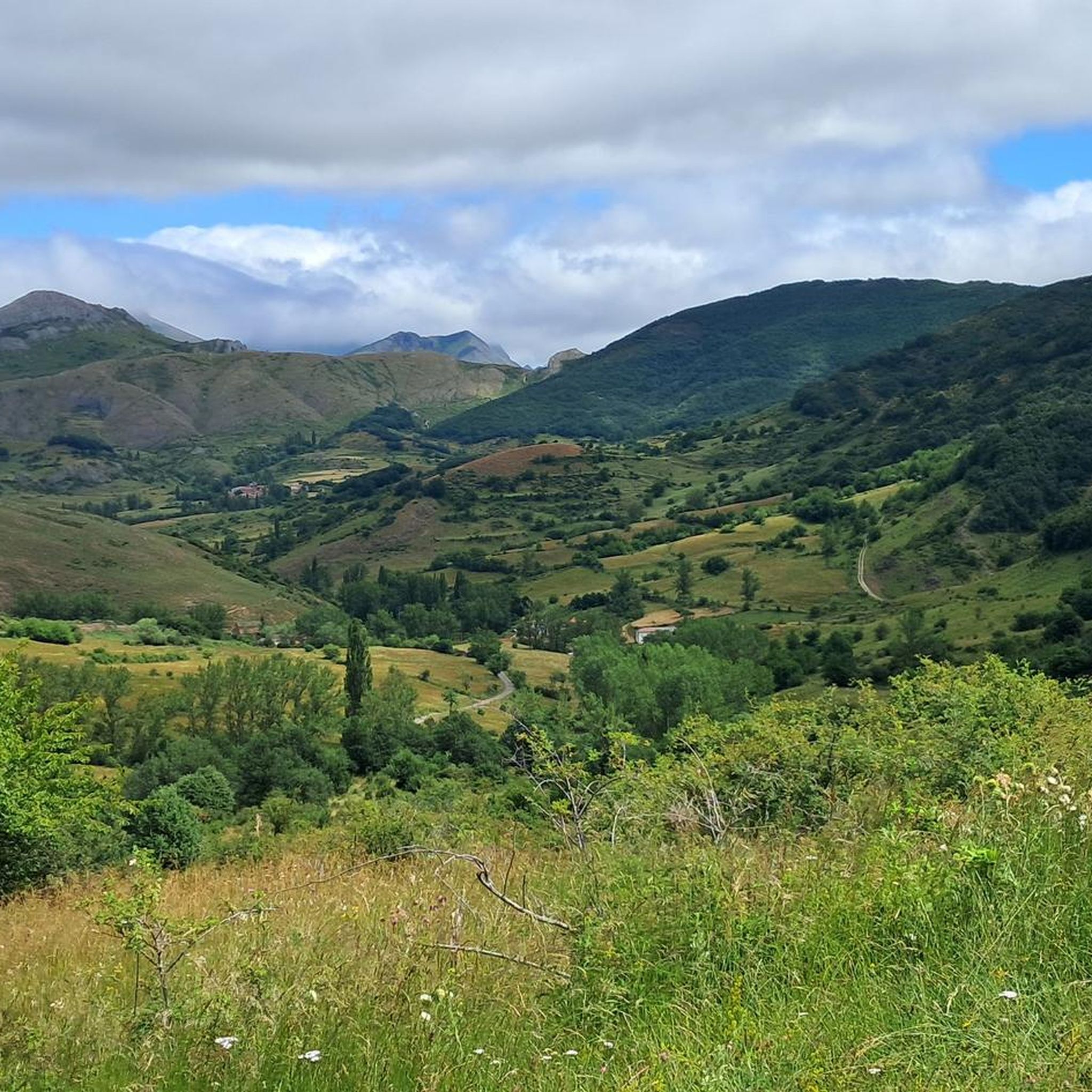
In this section, we find ourselves running through a beautiful oak grove with magnificent views of the Peñacorada Massif.
1
0
Near the town of Fuente de Peñacorda, we find this beautiful spot. An ideal place for lovers of the mountains and outdoor sports.
1
0
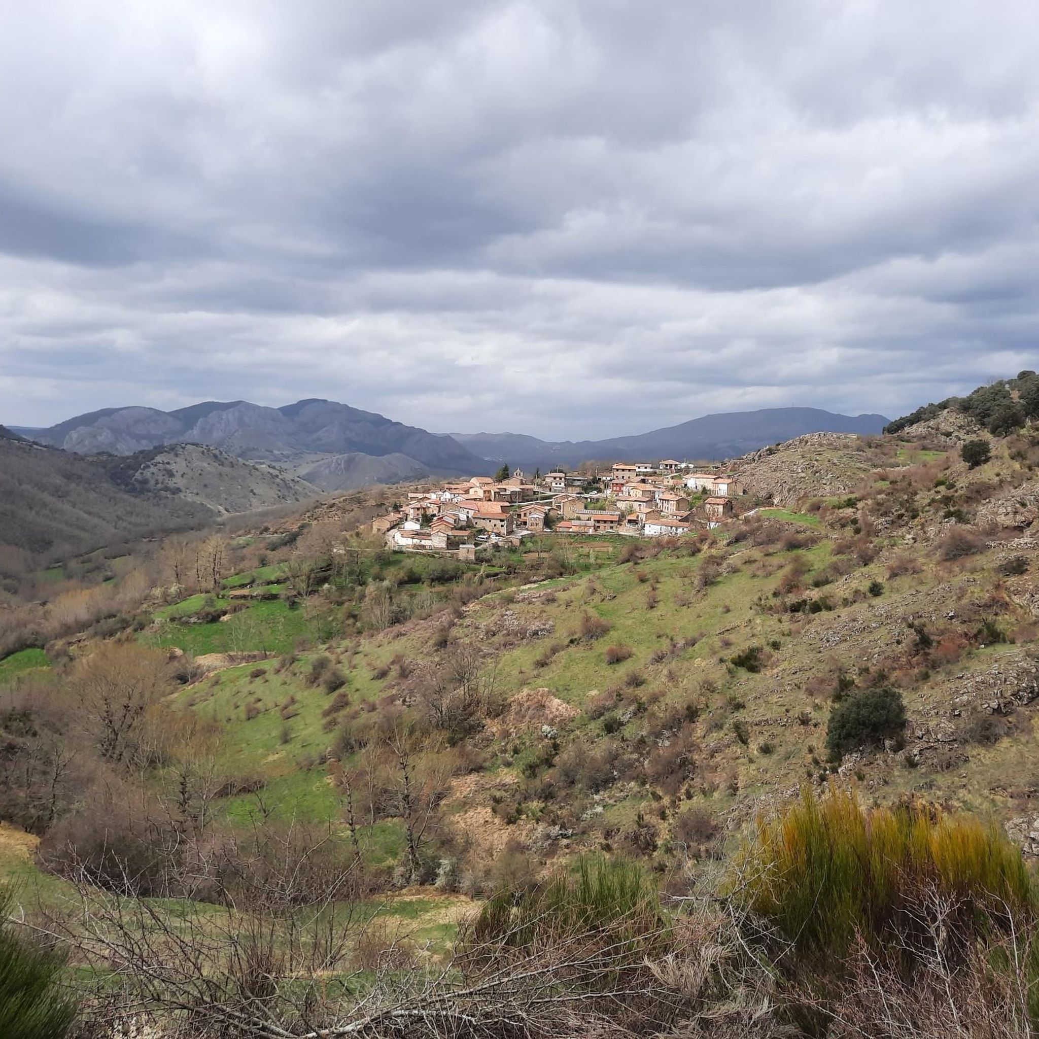
Running along a wide forest track that belongs to the La Huella de las Legiones route, we find these beautiful views of the town of Fuentes de Peñacorada.
1
1

An old masonry bridge over the Elsa River near a dam diverts part of the river water into an irrigation canal. The bridge is located on the Camino de Santiago route.
1
0
Walking through a beautiful oak grove, we find magnificent views of the Peñacorada Massif.
2
0
Frequently Asked Questions
What kind of terrain can I expect on the running trails around Prado De La Guzpeña?
The region offers a diverse landscape for runners, characterized by mountainous terrain, ancient forests of oak and holm oak, and the winding Cea River. You'll find varied elevations, from serene riverbanks to challenging ascents like Peñacorada, providing a range of running experiences. The landscape also features beautiful karstic formations and expansive meadows like El Prado.
Are there any easy running routes suitable for beginners in Prado De La Guzpeña?
While the area is known for its moderate to difficult routes, some sections along the Cea River basin or through expansive meadows like El Prado could offer more relaxed running. For a moderate option, consider Ruta de las Minas – running circular from Sabero (CR-6), which is 5.5 miles (8.9 km) with a moderate climb.
How many running routes are available in the Prado De La Guzpeña area?
There are 6 dedicated running routes available in the Prado De La Guzpeña area, ranging from moderate to difficult in terms of challenge.
Are there any circular running routes around Prado De La Guzpeña?
Yes, several routes are circular. For example, The Legions' Footprint - circular trail running from Fuentes de Peñacorada is a moderate 4.3-mile (6.9 km) loop. Another option is Running loop from Sabero, a more challenging 6.2-mile (10 km) route.
What kind of natural features or landmarks can I see while running in Prado De La Guzpeña?
You can enjoy diverse natural beauty, including ancient oak and holm oak forests, the winding Cea River, and impressive views from higher elevations like Peñacorada. Keep an eye out for wildlife such as deer and raptors. Notable man-made landmarks include Puente del Mercadillo and the Esla Viewpoint.
What is the best time of year to go running in Prado De La Guzpeña?
The region's natural beauty, particularly areas like El Cerezal with its cherry trees, suggests spring offers a stunning backdrop. However, the diverse forests and mountainous terrain provide enjoyable running conditions throughout much of the year, with autumn offering beautiful foliage and cooler temperatures. Always check local weather conditions before heading out.
Are there any running trails that offer significant elevation gain for a challenging workout?
Absolutely. The mountainous terrain around Prado De La Guzpeña provides several challenging options. The El Espinadal – View of Fuentes de Peñacorada loop from Fuentes de Peñacorada is a difficult 7.2-mile (11.6 km) trail with significant elevation gain, often completed in about 1 hour 57 minutes.
Can I spot any wildlife while out on a run in this area?
Yes, the tranquil natural environment of Prado De La Guzpeña offers opportunities to spot local wildlife. The ancient forests, particularly around Robledo de la Guzpeña, are home to diverse flora and fauna, including royal eagles and griffon vultures. Deer sightings are also possible.
What do other runners say about the trails in Prado De La Guzpeña?
More than 10 runners have used komoot to explore Prado De La Guzpeña's varied terrain. While specific ratings are not available, the routes are highly regarded for showcasing the best of the region's landscape, offering a mix of moderate and difficult challenges amidst stunning natural beauty.
Are there any routes that follow old railway lines for a flatter running experience?
The historical 'el Hullero' railway, which once connected Prado, Cerezal, and La Llama, suggests that its path could offer relatively flat and scenic routes suitable for jogging, providing a different kind of running experience compared to the mountainous trails.
Are there any bridges or viewpoints along the running routes?
Yes, you can encounter interesting structures and scenic spots. For instance, the Mercadillo Bridge – Puente del Mercadillo loop from Cistierna incorporates a bridge into its route. Additionally, the Esla Viewpoint offers panoramic vistas of the surrounding landscape.
Most popular attractions around Prado De La Guzpeña

Get inspired with the komoot mobile app


Explore more
Browse the best Running Trails & Routes in other regions.
