The best running trails around Reserva Natural da Montanha do Pico
4.5
(2)
203
runners
13
runs
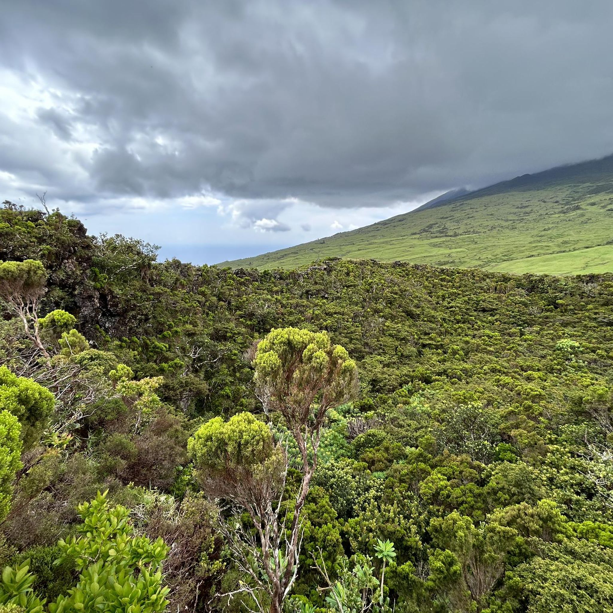
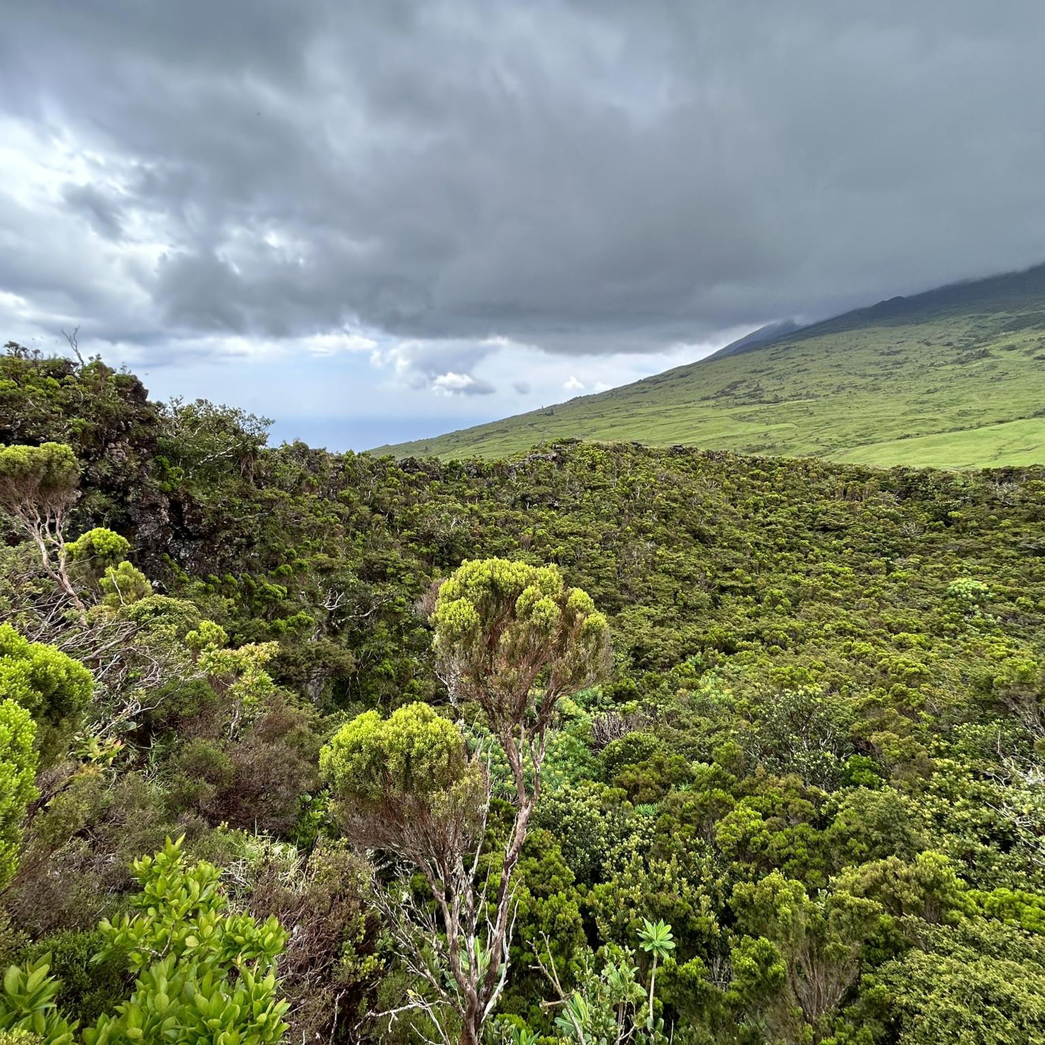
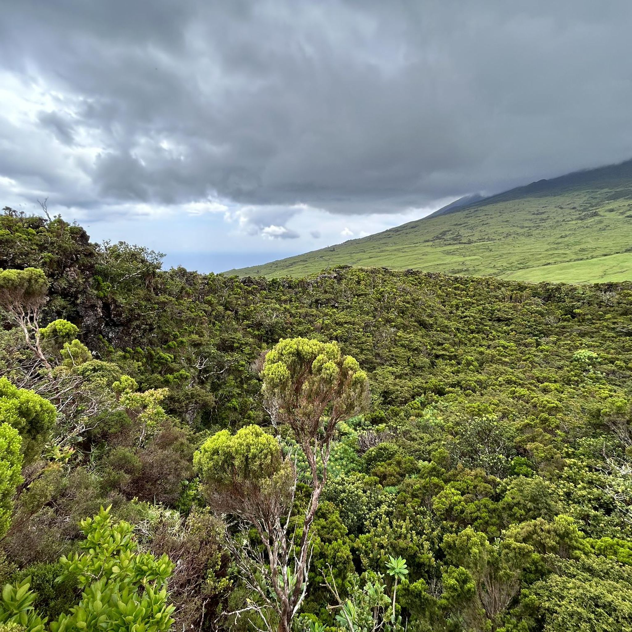
Jogging around Reserva Natural da Montanha do Pico offers routes across varied terrain on Pico Island in the Azores. The region is dominated by the stratovolcano of Pico Mountain, Portugal's highest peak, which influences the landscape with its volcanic rock formations and diverse vegetation. Running routes here can range from coastal paths to trails ascending the lower slopes of the mountain, providing a mix of elevation and scenery.
Best jogging routes around Reserva Natural da Montanha do Pico
- The most popular jogging route is Pico Mountain Trail, a 4.7 miles (7.6 km) trail that takes 3 hours 16 minutes to complete. This route features significant elevation gain as it ascends the mountain.
- Another top favourite among local runners is Running loop from São Mateus, a moderate 6.1 miles (9.9 km) path. This route offers a balanced running experience with moderate elevation changes.
- Local runners also love the Arcos Natural Swimming Pool – Lava Coast of Pico Island loop from Aeroporto da Ilha do Pico, a 7.5 miles (12.1 km) trail leading through coastal areas and volcanic lava fields, often completed in about 1 hour 21 minutes.
- Jogging around Reserva Natural da Montanha do Pico is defined by volcanic landscapes, coastal paths, and varied elevation profiles. The network offers options for different ability levels, from moderate loops to more challenging mountain ascents.
- The routes in Reserva Natural da Montanha do Pico are highly rated by the komoot community with an average score of 4.5 stars from 2 reviews. Nearly 200 runners have used komoot to explore Reserva Natural da Montanha do Pico's varied terrain.
Last updated: July 4, 2026
134
runners
7.59km
03:16
1,020m
1,020m
Ascend Portugal's highest peak, Pico Mountain, on a challenging 4.7-mile route with dramatic volcanic scenery and panoramic ocean views.
4.0
(1)
13
runners
8.08km
00:52
90m
90m
Moderate run. Good fitness required. Mostly paved surfaces. Suitable for all skill levels.

Sign up for free
4
runners
9.87km
01:04
170m
170m
Moderate run. Good fitness required. Mostly paved surfaces. Suitable for all skill levels.
5
runners
17.3km
02:19
670m
670m
Hard run. Very good fitness required. Mostly paved surfaces. Suitable for all skill levels.
3
runners
Moderate run. Good fitness required. Mostly paved surfaces. Suitable for all skill levels.
Get access to more routes and recommendations from other explorers.
Sign up for free
Already have an account?
Our route recommendations are based on thousands of hikes, rides, and runs completed by other people on komoot.
Start today with a free account
Your next adventure awaits.
Login or Signup
Popular around Reserva Natural da Montanha do Pico
Tips from the Community

The route runs the other way around, so at the end it goes along the sea.
0
0

A bit of a shame to see, if you walk about 10 minutes further there is a beautiful view of the sea.
0
1

Cold and hot drinks! Ice cream! Enjoy!
0
0
It is the highest mountain in Portugal, the third highest mountain in the Atlantic, and on top of that, you can experience the heat emanating from a virtually extinct volcano at the summit!
1
0

Fascinating lagoon on Pico Island, reached by bus via ER 3-2, with parking nearby, or on foot via PR 13. At 826 meters above sea level, it offers views of unique fauna, as well as Pico Mountain ( which is typically surrounded by clouds).
0
0

Beautiful views on mount Pico and the Vineyards. You can also go to the shore and have a refreshing swim in the ocean.
0
0

Permission for the climb is necessary and can be applied for online, costs 25€ per person.
3
1

For those who are going to venture up Pico Mountain, Casa da Montanha is a mandatory stop. Its function is to register and control those who decide to venture towards the summit. A prior authorization request must be made. For those who just come to cycle, it is possible to find something to eat.
0
0
Frequently Asked Questions
How many running routes are available in Reserva Natural da Montanha do Pico?
There are over 10 dedicated running routes around Reserva Natural da Montanha do Pico, offering a variety of experiences from coastal paths to more challenging mountain ascents. The komoot community has explored these trails nearly 200 times.
Are there any easy or beginner-friendly running routes on Pico Island?
While many routes involve elevation changes due to the volcanic landscape, there are options suitable for beginners. For a moderate experience, consider the Running loop from São Mateus, which offers a balanced running experience without extreme climbs.
What are the typical lengths and durations of running trails in this region?
Running routes vary significantly. For instance, the Pico Mountain Trail is about 4.7 miles (7.6 km) and can take over 3 hours due to its significant elevation gain. Coastal loops like the Arcos Natural Swimming Pool – Lava Coast of Pico Island loop are longer at 7.5 miles (12.1 km) but can be completed in about 1 hour 20 minutes due to flatter terrain.
Are there any circular running routes around Pico Mountain?
Yes, many of the running routes are designed as loops. Examples include the Running loop from São Caetano and the Miradouro Corre Água loop from São Roque do Pico, allowing you to start and finish at the same point without retracing your steps.
What kind of scenery can I expect while running on Pico Island?
The region is defined by its dramatic volcanic landscapes, including lava fields and diverse vegetation on the lower slopes of Pico Mountain. Many routes also offer stunning coastal views, natural swimming pools, and glimpses of the Atlantic Ocean.
What is the best time of year to go running in Reserva Natural da Montanha do Pico?
The Azores generally have a mild climate year-round. However, for running, late spring (May-June) and early autumn (September-October) often provide the most pleasant weather with less rain and moderate temperatures, ideal for outdoor activities. Summer can be warm, and winter can bring more unpredictable weather.
What should I wear for running on Pico Island trails?
Given the varied terrain and potential for sudden weather changes, it's advisable to wear layers. Moisture-wicking clothing, sturdy trail running shoes with good grip, and a lightweight waterproof jacket are recommended. Sun protection (hat, sunscreen) is also important, especially on exposed coastal or mountain paths.
Are there any family-friendly running options in the area?
For families, routes with less extreme elevation and well-defined paths are preferable. While specific 'family-friendly' designations aren't always available, shorter, moderate loops closer to towns or coastal areas would be more suitable than challenging mountain ascents.
Is parking available near the trailheads for running routes?
Parking availability varies by trailhead. Many routes start from villages or accessible points where street parking or small designated parking areas can be found. For routes starting from specific locations like Aeroporto da Ilha do Pico, parking facilities are typically available.
Are dogs allowed on the running trails in Reserva Natural da Montanha do Pico?
Generally, dogs are permitted on many trails in the Azores, but it's always best to keep them on a leash, especially in protected natural areas like Reserva Natural da Montanha do Pico, to protect local wildlife and ensure the safety of other trail users. Always check local signage for specific restrictions.
What do other runners enjoy most about jogging in Reserva Natural da Montanha do Pico?
The area is highly rated by the komoot community, with an average score of 4.5 stars. Reviewers often praise the unique volcanic landscapes, the stunning coastal views, and the variety of routes that cater to different fitness levels, from moderate loops to challenging mountain ascents.
Are there any cafes or amenities near the running routes?
Many running routes start or pass through villages and towns on Pico Island, such as São Mateus, São Caetano, or São Roque do Pico. In these areas, you can typically find cafes, restaurants, and small shops to refuel or grab refreshments before or after your run.
Most popular routes around Reserva Natural da Montanha do Pico
Most popular attractions around Reserva Natural da Montanha do Pico

Get inspired with the komoot mobile app


Explore more
Browse the best Running Trails & Routes in other regions.
