The best walks and hikes around Carmena
4.6
(103)
767
hikers
50
hikes
Hiking around Carmena offers access to a landscape characterized by distinctive geological formations and water features. The region includes areas with ravines, such as the Barrancas de Burujón, and routes that pass by reservoirs. Trails often follow river paths, providing varied terrain for outdoor exploration. The elevation changes are generally moderate, making the area accessible for different hiking abilities.
Best hiking trails around Carmena
- The most popular hiking route is Barrancas de Burujón — circular, a 3.4 miles (5.5…
Last updated: October 14, 2026
4.7
(18)
142
hikers
5.50km
01:35
130m
130m
Easy hike. Great for any fitness level. Easily-accessible paths. Suitable for all skill levels.
4.7
(15)
57
hikers
7.44km
02:02
110m
110m
Moderate hike. Good fitness required. Easily-accessible paths. Suitable for all skill levels.

1
hikers
19.0km
04:55
110m
110m
Moderate hike. Good fitness required. Easily-accessible paths. Suitable for all skill levels.
Moderate hike. Good fitness required. Easily-accessible paths. Suitable for all skill levels.
4.7
(18)
149
hikers
9.65km
02:38
140m
140m
Moderate hike. Good fitness required. Easily-accessible paths. Suitable for all skill levels.
Get access to more routes and recommendations from other explorers.
Already have an account?
Our route recommendations are based on thousands of hikes, rides, and runs completed by other people on komoot.
Start today with a free account
Your next adventure awaits.
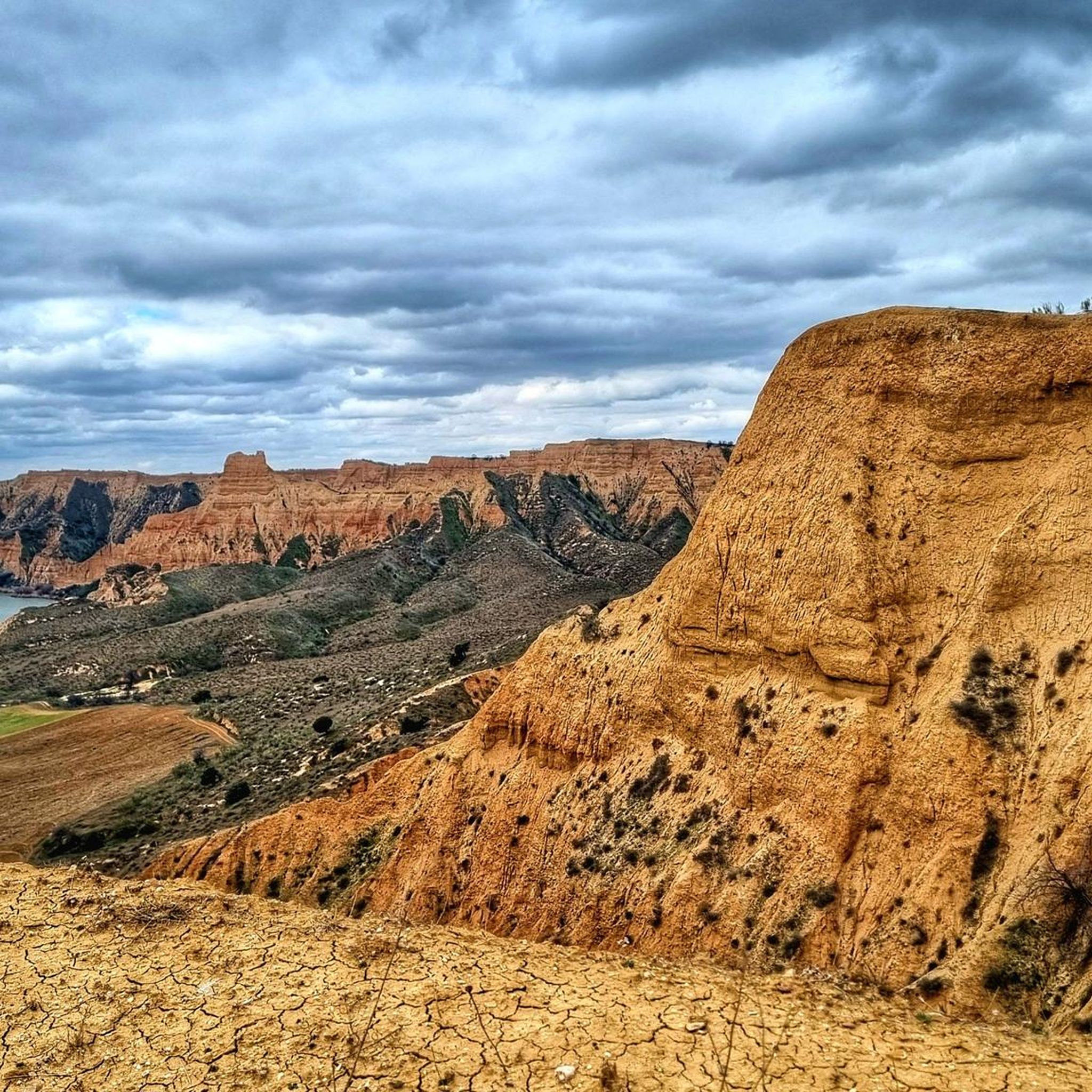
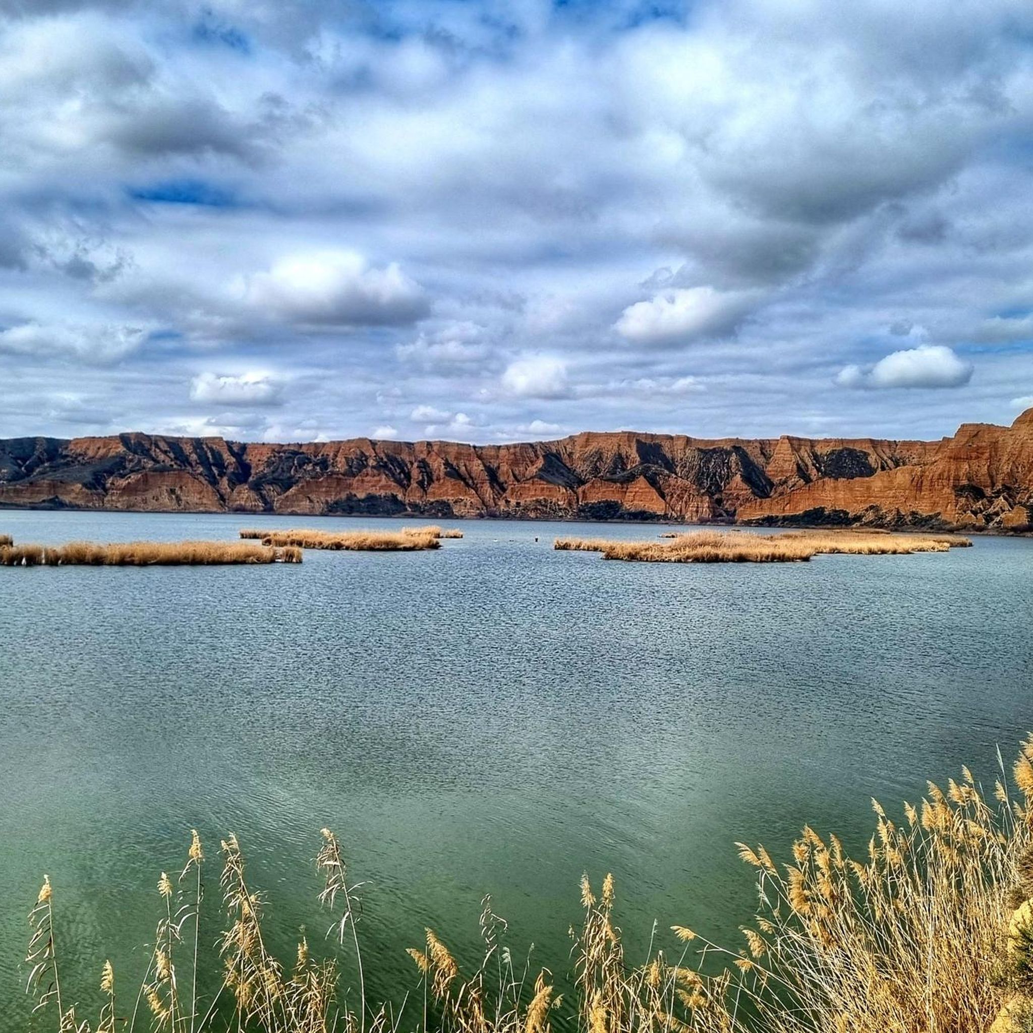
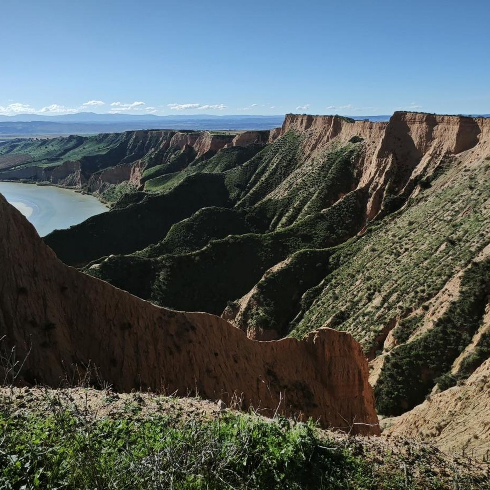
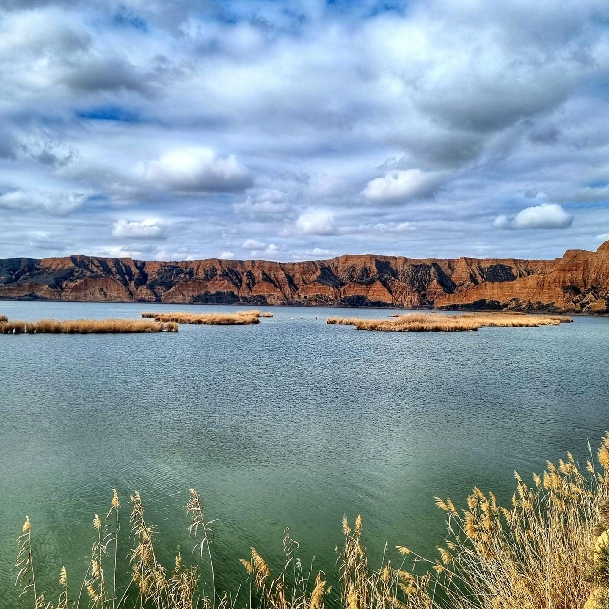
Tips from the Community


Beautiful views, a highly recommended place to visit and enjoy.
1
1


The old boatman's house, from the times when the boatman was an important person, since he allowed farmers and horses, vehicles, etc. to cross the river, before the construction of the bridge. Today it has become a recreational area in the beautiful surroundings of the Tagus River.
0
0
Views of the small Carpio de Tajo reservoir, connected to the Castrejon Canal. It is a popular fishing area.
0
1
If you want to see the Barrancas de Burujón from another perspective, you can go down to another viewpoint that is closer to the water.
2
0
Frequently Asked Questions
What types of hiking trails can I expect around Carmena?
Hiking around Carmena is characterized by its unique geological formations, particularly ravines like the Barrancas de Burujón, and routes that follow river paths and pass by reservoirs. The terrain offers a mix of landscapes, from open areas to more sheltered riverbanks, with generally moderate elevation changes.
Are there easy hiking options suitable for beginners in Carmena?
Yes, Carmena offers several easy trails. Out of approximately 35 routes, 11 are classified as easy. An example is the Barrancas de Burujón — circular, which is 3.4 miles (5.5 km) long and takes about 1 hour 35 minutes to complete, exploring the distinctive ravine landscape.
Can I find circular hiking routes in the Carmena area?
Yes, circular routes are a popular option in Carmena. The Embalse del Carpio y la Casa del barquero — circular desde El Carpio de Tajo is a moderate 7.8-mile (12.5 km) loop that takes you around the reservoir. Another option is the Cliffs of Burujón – Enebros Viewpoint loop from Río Las Cabreras, a 6-mile (9.7 km) moderate trail offering scenic views.
What are some notable natural attractions or viewpoints along the trails?
The region is known for its dramatic ravines and reservoir views. You can visit the Enebros Viewpoint or the View of the Barrancas de Burujón and the Castrejón Reservoir from Mirador del Cambrón for stunning panoramic vistas of the landscape. The Embalse del Carpio is also a significant natural feature.
Are there any family-friendly hiking trails in Carmena?
While specific 'family-friendly' designations aren't always explicit, the presence of 11 easy trails suggests suitable options. The Barrancas de Burujón — circular is a relatively short and easy loop that could be enjoyable for families, allowing them to experience the unique ravines without excessive challenge.
What do other hikers say about the trails in Carmena?
The trails in Carmena are highly regarded by the komoot community, with an average rating of 4.6 stars from over 70 reviews. Hikers often praise the distinctive ravine landscapes, the peaceful river paths, and the varied terrain that makes for engaging outdoor exploration.
How long do hikes in Carmena typically take?
Hikes in Carmena vary in length and duration. Easy trails, like the 3.4-mile Barrancas de Burujón — circular, can be completed in about 1 hour 35 minutes. More moderate routes, such as the 11.8-mile Sendero Rinconada to Ruidero bridge (PR-TO 29), might take around 4 hours 54 minutes, offering longer excursions through varied landscapes.
Is there parking available at the trailheads in Carmena?
Yes, for popular areas like the Barrancas de Burujón, there is a designated Parking area at Las Barrancas de Burujón. It's advisable to check specific route details for parking information for less frequented trailheads.
Are there any specific ecological features or wildlife to look out for?
The region's diverse flora and fauna are part of its appeal. While not as extensively documented as some larger reserves, areas like Villa El Carmen in Nicaragua (a region with a similar name) boast 129 plant species and 27 bird species. The Barrancas de Burujón Ecological Trail specifically highlights the natural beauty and ecological features of that area, suggesting opportunities for wildlife observation.
What is the best time of year to go hiking in Carmena?
Given the generally moderate climate, spring and autumn are often ideal for hiking in Carmena, offering pleasant temperatures and vibrant natural scenery. Summers can be warm, making early morning or late afternoon hikes preferable, while winters are generally mild enough for hiking, though conditions can vary.
Are there any longer, more challenging hikes available?
Yes, for those seeking a longer challenge, the Sendero Rinconada to Ruidero bridge (PR-TO 29) is a moderate 11.8-mile (19.0 km) trail that takes nearly 5 hours to complete. While only 3 routes are classified as difficult, many moderate trails offer substantial distances and durations for a rewarding experience.
Most popular attractions around Carmena

Get inspired with the komoot mobile app


Explore more
Browse the best Hikes in other regions.
