The best running trails around National Park Sudoeste Alentejano e Costa Vicentina
4.4
(329)
7,757
runners
346
runs
Jogging routes around National Park Sudoeste Alentejano e Costa Vicentina traverse a diverse landscape, characterized by over 100 kilometers of coastline featuring dramatic rocky cliffs, undulating dunes, and fertile river estuaries. Inland, the terrain transitions to scrubland, forests, and marshy plains, offering varied running environments. The region is known for its extensive network of trails, including sections of the Rota Vicentina, which provide options for different preferences and fitness levels. This area offers a blend of coastal paths and more…
Last updated: August 30, 2026
4.8
(6)
389
runners
14.5km
01:43
180m
180m
Moderate run. Good fitness required. Mostly accessible paths. Some sure footedness required.
4.6
(8)
99
runners
10.3km
01:09
100m
100m
Moderate run. Good fitness required. Mostly paved surfaces. Suitable for all skill levels.

Sign up for free
5.0
(2)
37
runners
22.9km
02:45
230m
230m
Hard run. Very good fitness required. Sure-footedness, sturdy shoes and alpine experience required.
4.7
(3)
25
runners
7.26km
00:51
80m
80m
Moderate run. Good fitness required. Mostly accessible paths. Some sure footedness required.
5.0
(1)
11
runners
15.6km
01:48
260m
260m
Hard run. Very good fitness required. Mostly accessible paths. Some sure footedness required.
Get access to more routes and recommendations from other explorers.
Sign up for free
Already have an account?
Our route recommendations are based on thousands of hikes, rides, and runs completed by other people on komoot.
Start today with a free account
Your next adventure awaits.
Login or Signup
Popular around National Park Sudoeste Alentejano e Costa Vicentina
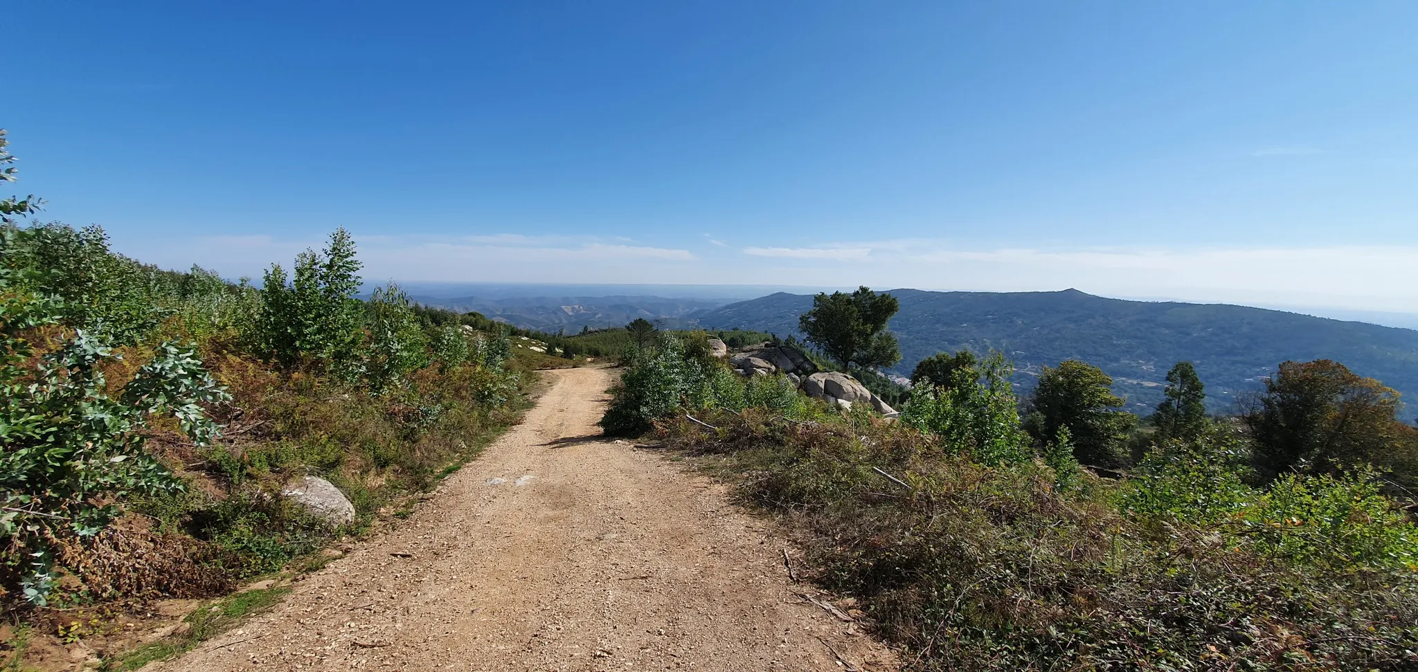
Via Algarviana (GR 13) - hidden corners of the south
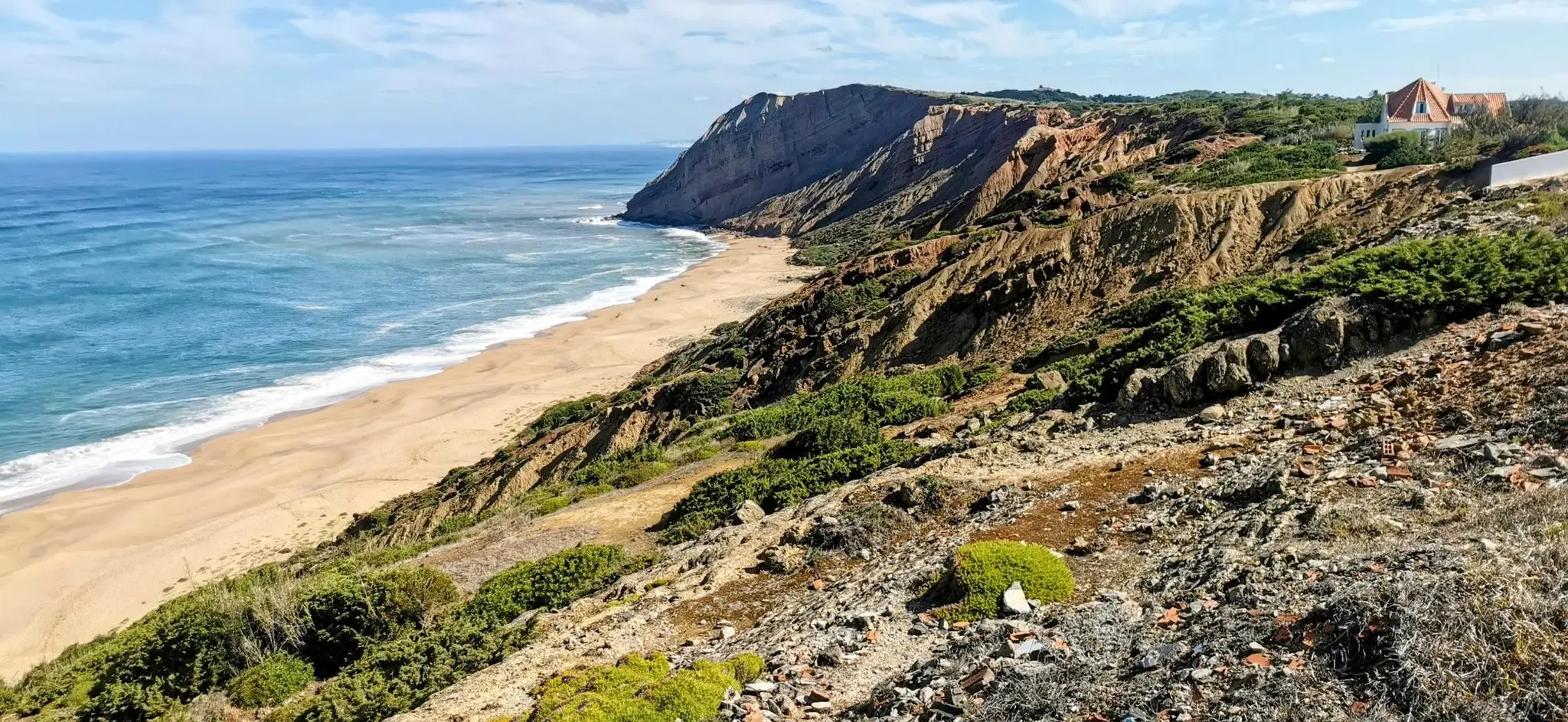
EuroVelo 1 Portugal – Cycle the Atlantic Coast
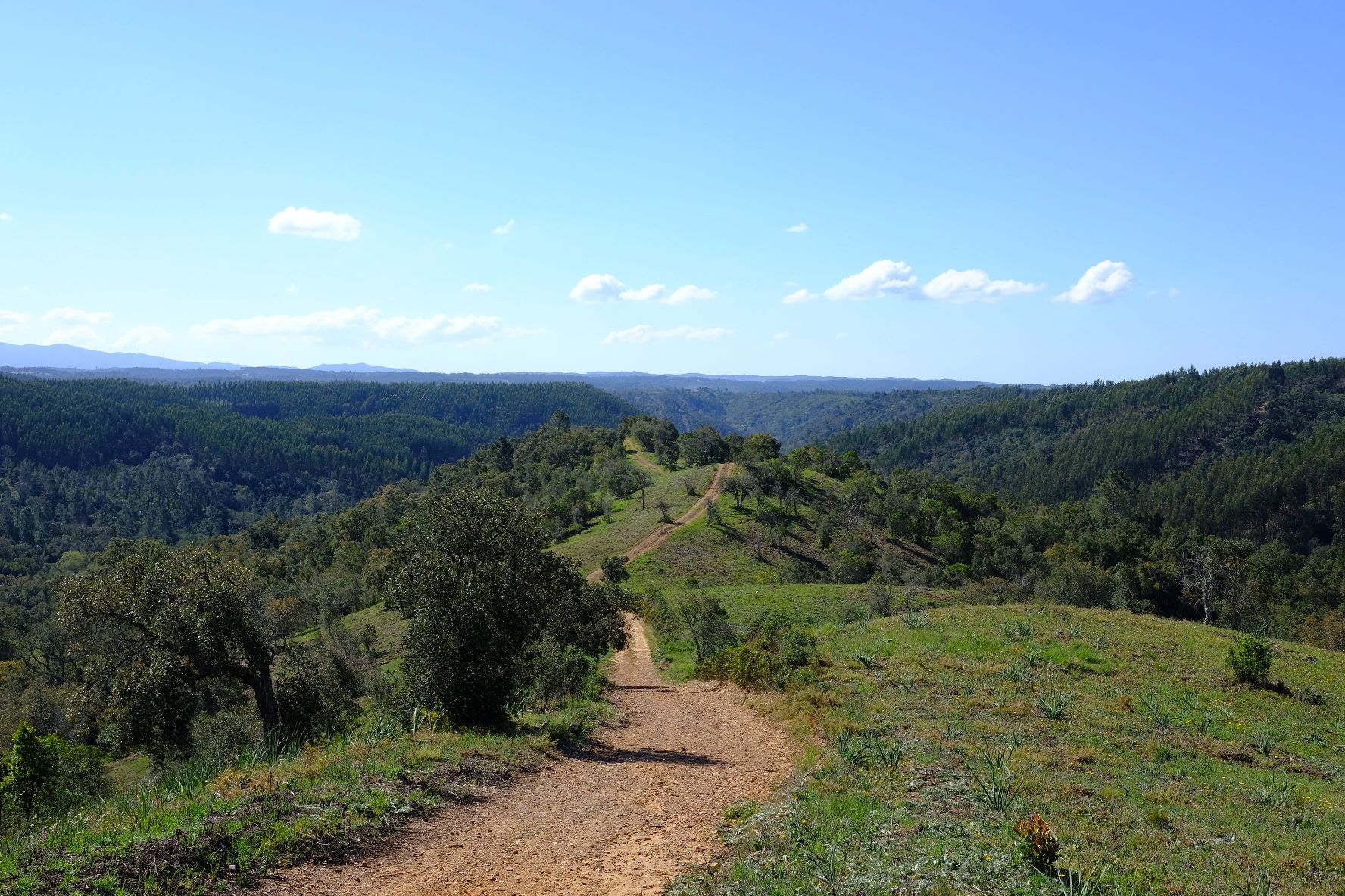
Caminho Histórico – Discover Portugal's beauty and history
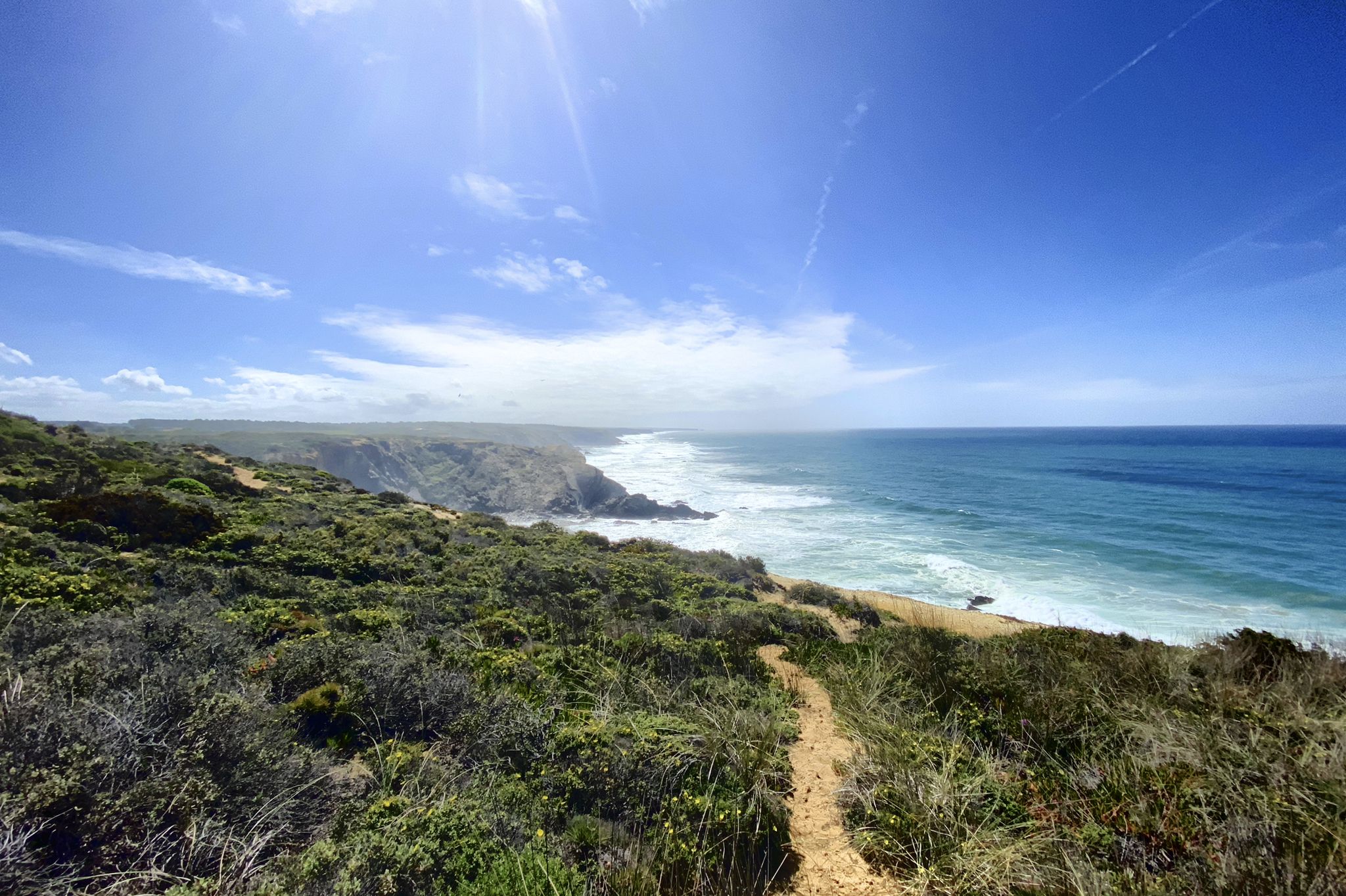
Trilho dos Pescadores – Portugal's Fishermen's Trail
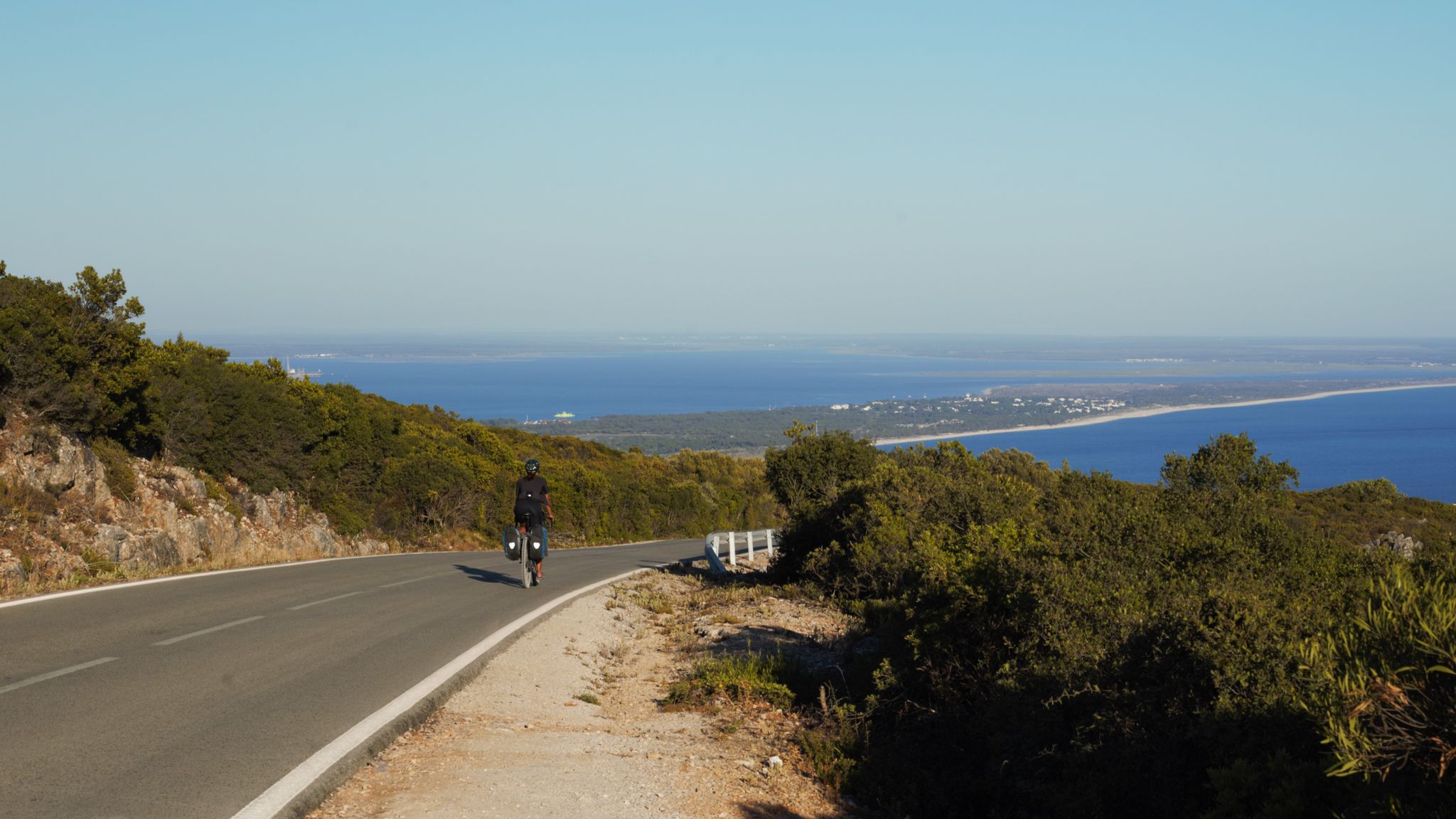
The breaking waves – cycle along the Atlantic coast of Portugal

Road to Lisbon – bikepacking the Alps, Pyrenees and Picos de Europa
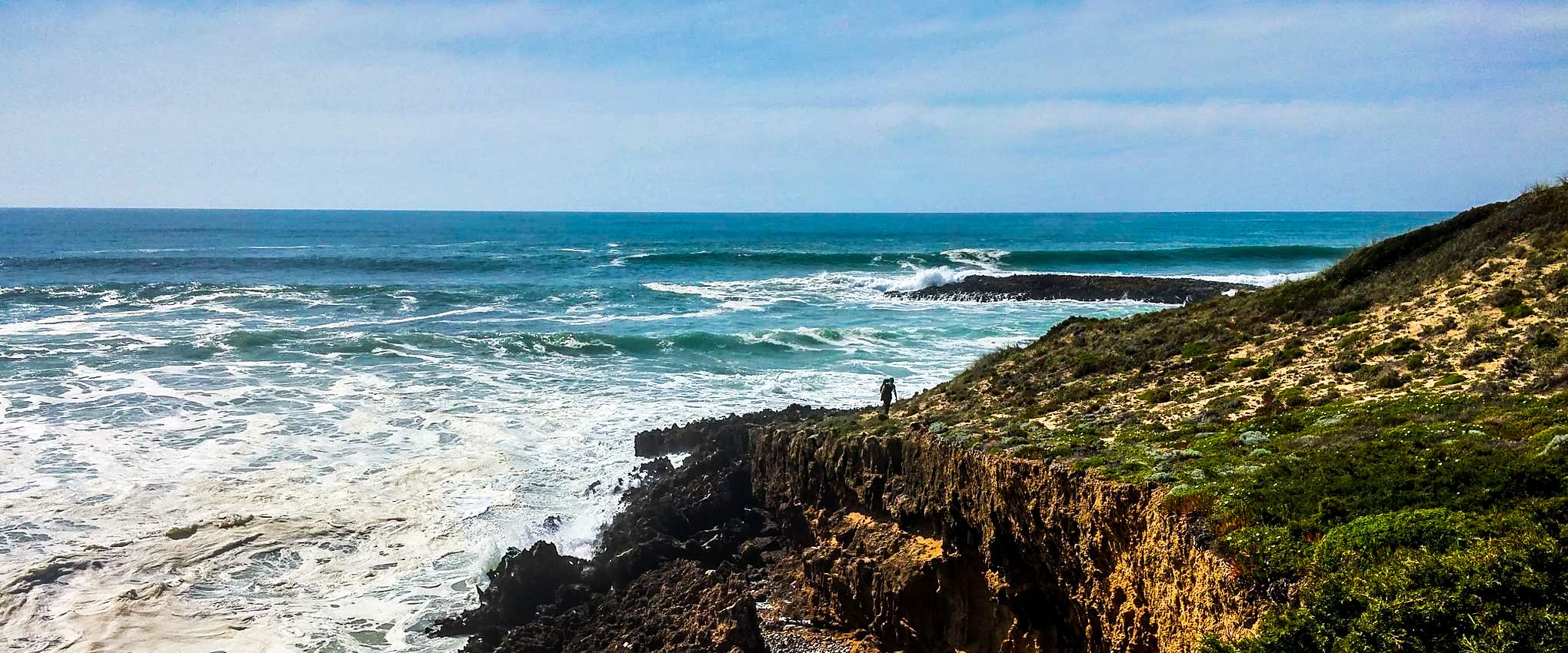
Fishermen's Trail – Discover Portugal's Atlantic Coast
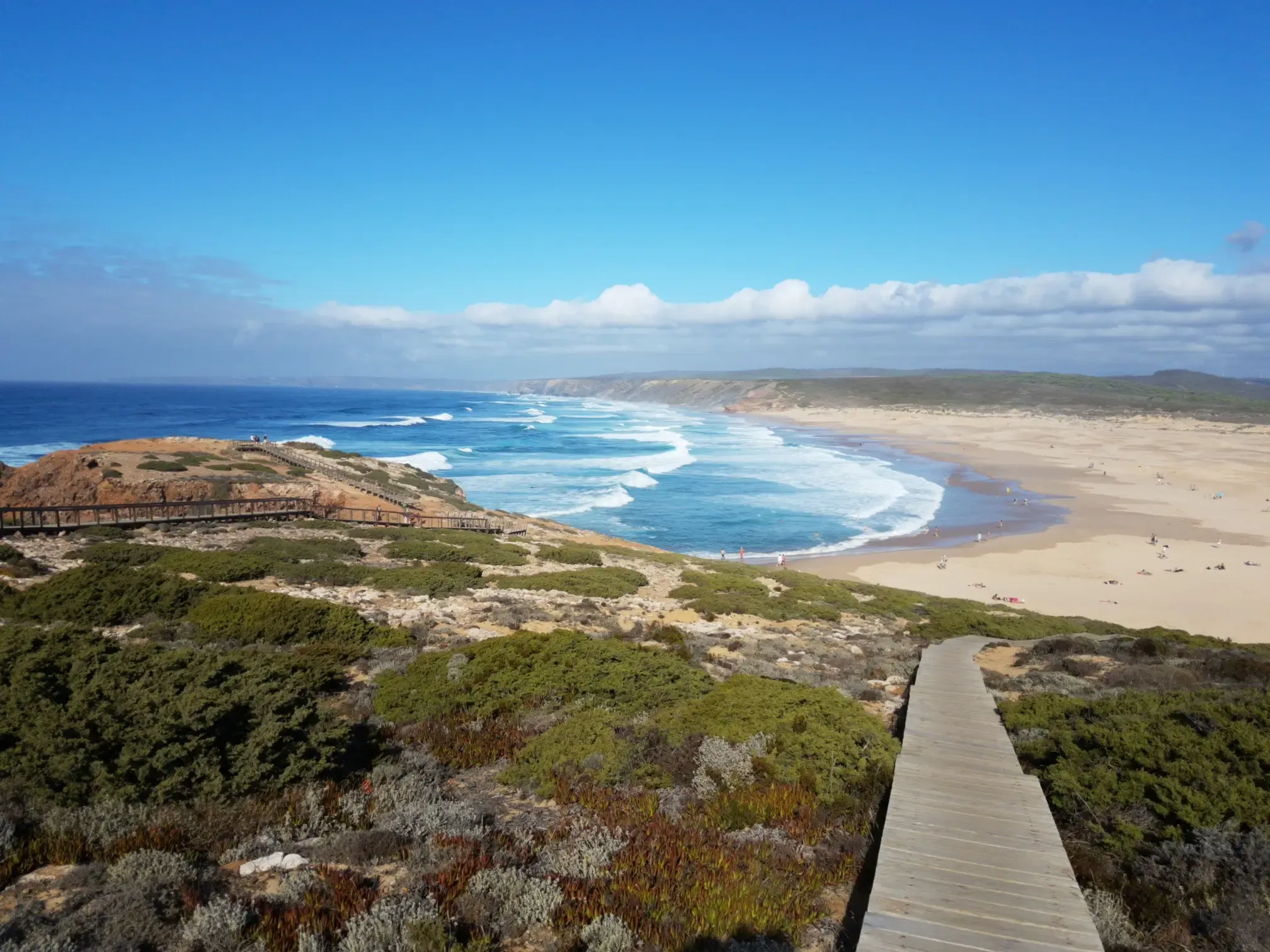
Lisbon to Santo António – The Atlantic Coast of Portugal (south)
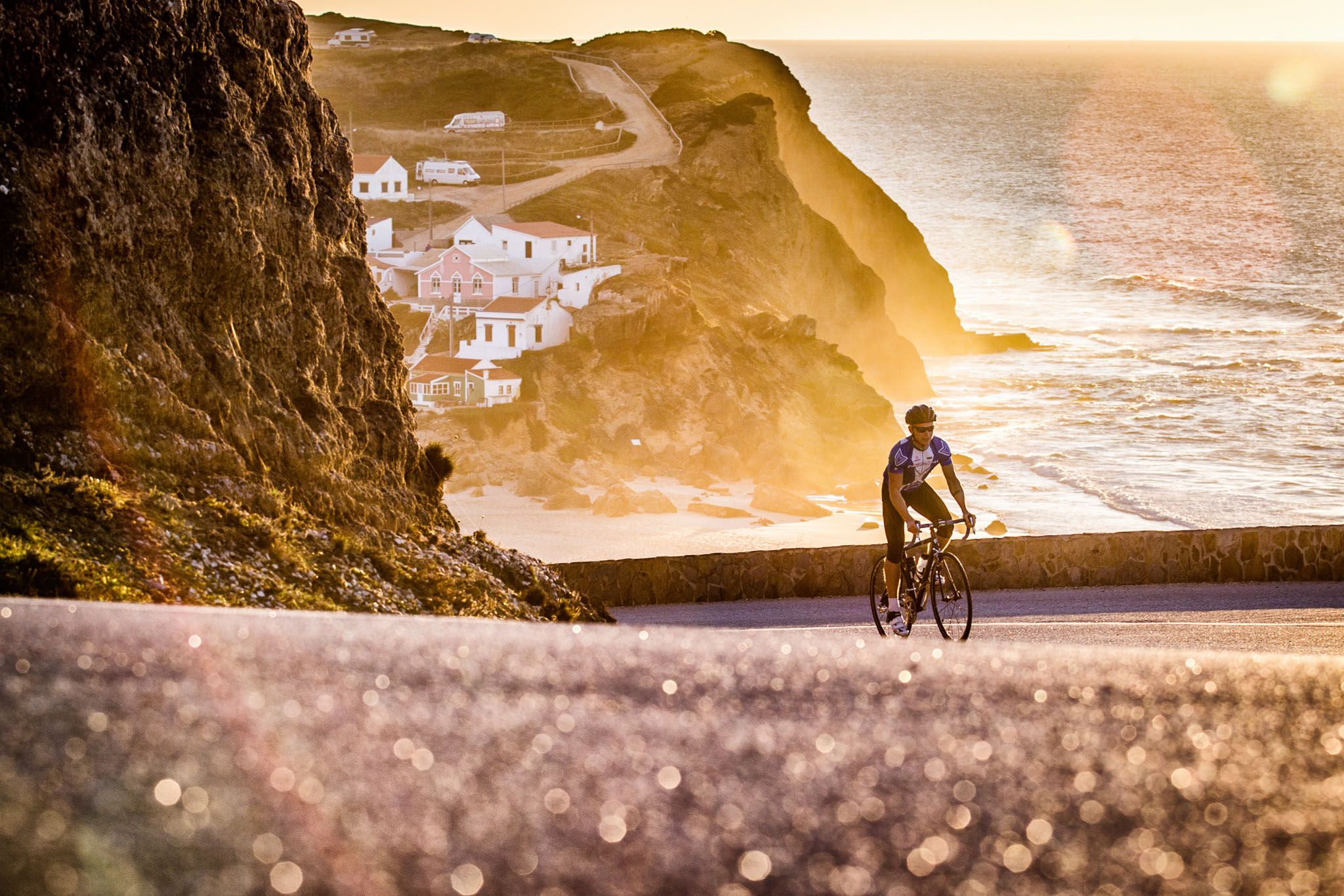
Sun, cliffs and endless roads in the Algarve
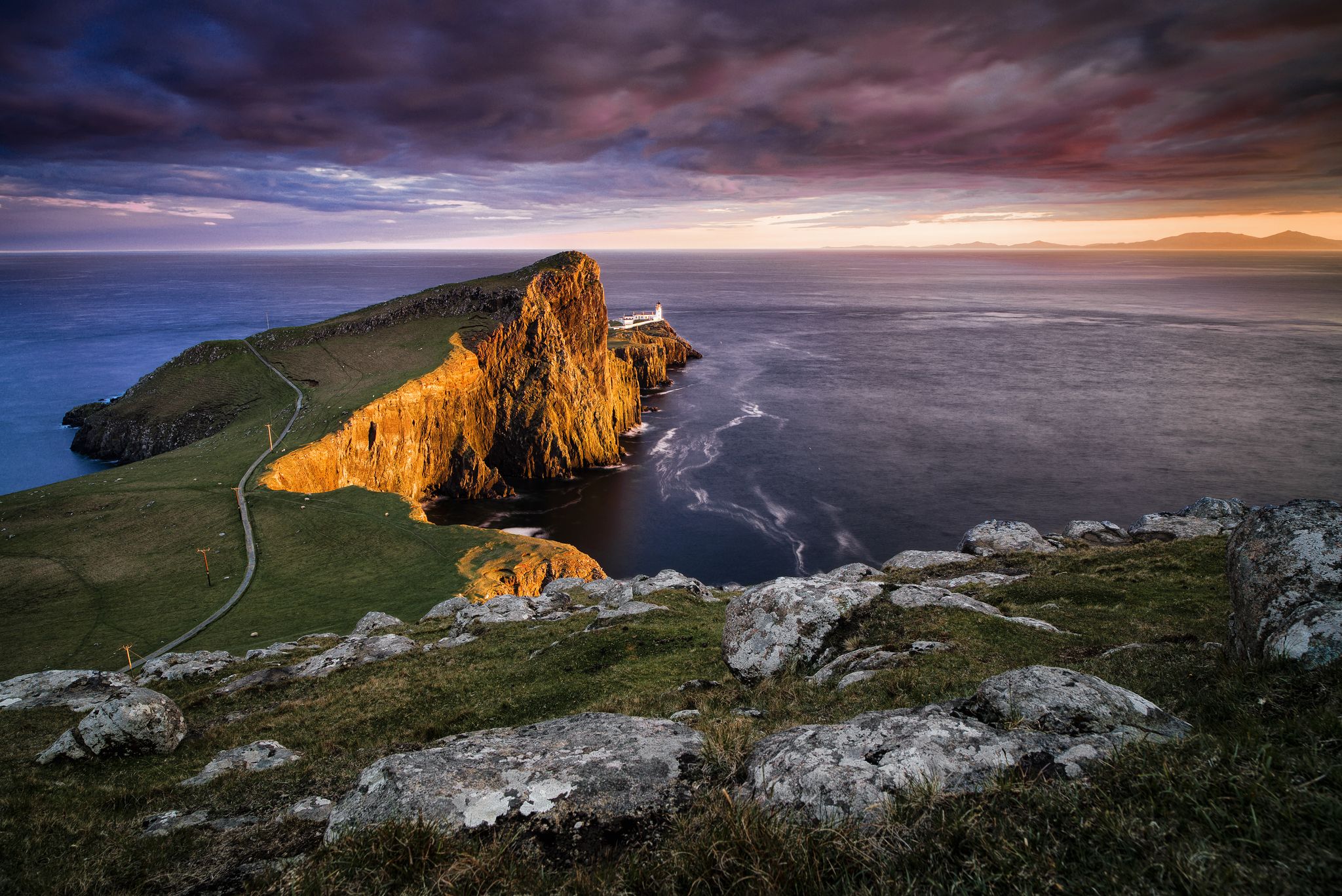
Epic sunset spots in Western Europe
Other adventures around National Park Sudoeste Alentejano e Costa Vicentina


Tips from the Community

An eternally wide sandy beach, shielded by a river/lake towards the land - so wide that the word "sandy beach" doesn't describe the area at all; "small desert" would be more fitting! - A popular bathing and surfing spot; the Fischerweg crosses the area on the shore.
0
0

You can watch the surfers nicely from the beach hut. Besides that, there was delicious food.
0
0

A great section with magnificent views of a wonderful coastal landscape.
1
0

Five kilometers from Sagres rises the mythical Cabo de São Vicente, the last gaze of land for explorers setting off towards the unknown of the vast ocean. Wild, windy, and imposing, this promontory of steep cliffs plunges into the Atlantic, crowned by one of Europe's most powerful lighthouses. Called by the Romans Promontorium Sacrum, the "end of the world" was for centuries a sacred place, shrouded in legends and mysteries. Today, it remains a pilgrimage point for sailors, hikers, and dreamers, where the horizon seems to dissolve into infinity.
2
0

Here you can sit directly by the parking lot with a view of the sea and enjoy something to eat and a drink.
0
0

Leading the way to the sea Infantry D. Henrique
0
0
Great view of the bay
0
0
Matching the flair of the city a great statue with surfboards
1
0
Frequently Asked Questions
How many running routes are available in National Park Sudoeste Alentejano e Costa Vicentina?
There are over 350 running routes available in the National Park Sudoeste Alentejano e Costa Vicentina. These routes cater to various fitness levels, with a significant number being of moderate difficulty.
Are there any easy jogging routes for beginners in the park?
Yes, the park offers 27 routes classified as easy, suitable for beginners or those looking for a less strenuous run. While specific easy routes are not detailed here, the extensive network ensures options for all skill levels.
What kind of terrain can I expect on the running trails in this region?
The terrain varies significantly. You'll find dramatic rocky cliffs, undulating dunes, and fertile river estuaries along the coast. Inland, the scenery transitions to scrubland, forests, and marshy plains. Many trails, like sections of the Rota Vicentina, feature sandy paths and some steep cliffs, while others are on rural roads.
Are there any circular running routes in National Park Sudoeste Alentejano e Costa Vicentina?
Yes, the park features several circular routes. A notable example is the Pontal da Carrapateira — circular route in Costa Vicentina, a moderate 6.4-mile (10.3 km) path offering coastal scenery. The Rota Vicentina also includes shorter circular trails designed to accommodate various fitness levels.
What are some points of interest or landmarks I might see while running?
Many routes offer stunning views of the coastline and significant landmarks. For instance, the route From Sagres to Cabo de São Vicente provides views towards Cabo de São Vicente Lighthouse, the southwesternmost point of mainland Europe. Other attractions in the region include the historic Sagres Fortress and various beautiful beaches like Amado Beach and Malhão Beach.
What do other runners enjoy most about the trails in this National Park?
The trails in National Park Sudoeste Alentejano e Costa Vicentina are highly rated by the komoot community, with an average score of 4.4 stars from over 250 reviews. Runners often praise the dramatic rocky cliffs, undulating dunes, and the extensive trail systems that offer options for various ability levels, from easier paths to more demanding routes with elevation changes.
Are there any long-distance running options available?
Yes, the region is home to the Rota Vicentina, which offers over 400 km of trails, including the challenging 226.5 km Fishermen's Trail and the 263 km Historical Way. These provide excellent opportunities for long-distance running, with routes like From Sagres to Praia do Zavial covering 14.2 miles (22.9 km).
What is the best time of year for jogging in National Park Sudoeste Alentejano e Costa Vicentina?
The park is an excellent destination for outdoor pursuits year-round. Spring is particularly beautiful, with wildflowers carpeting the coastal trails. The mild climate makes it suitable for jogging outside of the peak summer heat, offering comfortable conditions for exploring the diverse landscapes.
Are there any particularly challenging running routes for experienced runners?
For experienced runners seeking a challenge, the park offers 47 routes classified as difficult. The Cordoama Long Trail is a difficult 9.7-mile (15.6 km) path known for its dramatic coastal scenery and significant elevation changes, providing a demanding workout.
Can I expect to see any unique wildlife while out on a run?
The park is renowned for its remarkable biodiversity. It's a critical habitat for diverse wildlife, including migratory birds and nesting species like fishing eagles. Notably, it's the only place globally where white storks nest on seashore rocks and one of the last European strongholds for otters in a marine environment. Keep an eye out, especially along the coastal and riverine sections.
Are there options for running routes that offer both coastal and inland views?
Yes, many routes provide a blend of coastal and inland scenery. The Amoreira Trail, a moderate 4.5-mile loop near Aljezur, is a great example, offering diverse coastal and inland views with glimpses of the ocean as you run.
Most popular routes around National Park Sudoeste Alentejano e Costa Vicentina
Most popular attractions around National Park Sudoeste Alentejano e Costa Vicentina

Get inspired with the komoot mobile app


Explore more
Browse the best Running Trails & Routes in other regions.
