The best walks and hikes around Cirat
4.5
(573)
3,325
hikers
89
hikes
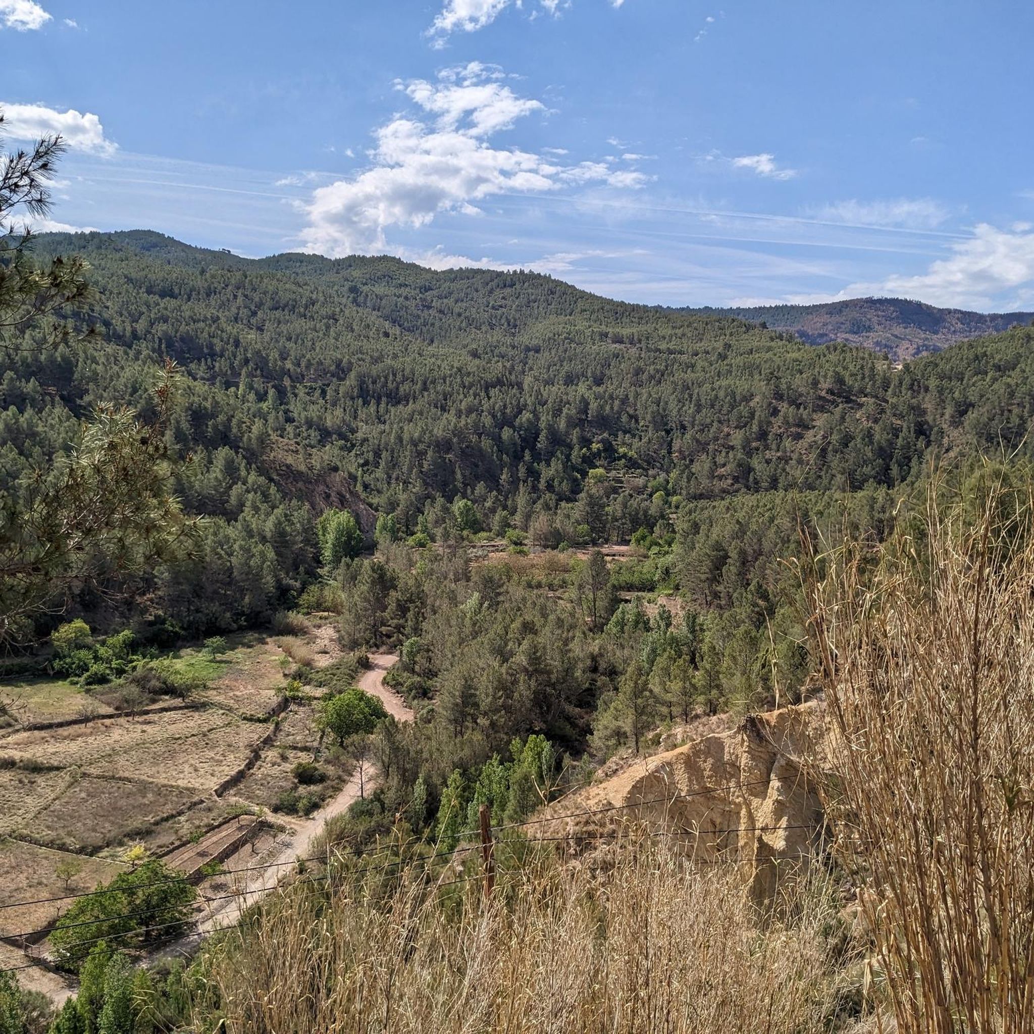
Hiking around Cirat offers a diverse landscape characterized by river valleys, hills, and varied terrain. The region features a network of paths that traverse natural areas, providing opportunities for exploration. Elevation changes are present, with routes ranging from gentle ascents to more challenging climbs. The area's physical features include narrow passages and elevated points, contributing to a varied hiking experience.
Best hiking trails around Cirat
- The most popular hiking route is Los Estrechos Trail, a 3.1 miles (5.1 km)…
Last updated: October 6, 2026
4.5
(10)
37
hikers
11.9km
03:41
400m
410m
Moderate hike. Good fitness required. Mostly accessible paths. Sure-footedness required.
4.2
(5)
37
hikers
11.3km
03:38
390m
390m
Moderate hike. Good fitness required. Mostly accessible paths. Sure-footedness required.

4.4
(7)
32
hikers
6.71km
02:14
200m
200m
Moderate hike. Good fitness required. Mostly accessible paths. Sure-footedness required.
4.8
(6)
7
hikers
7.32km
02:14
250m
250m
Moderate hike. Good fitness required. Easily-accessible paths. Suitable for all skill levels.
4.0
(3)
14
hikers
Easy hike. Great for any fitness level. Easily-accessible paths. Suitable for all skill levels.
Get access to more routes and recommendations from other explorers.
Already have an account?
Our route recommendations are based on thousands of hikes, rides, and runs completed by other people on komoot.
Start today with a free account
Your next adventure awaits.
Tips from the Community

The Salto de la Novia in Cirat is a stunning waterfall located in the Alto Mijares region in the province of Castellón. This place is known for its natural beauty and peaceful surroundings, making it a popular destination for nature and hiking lovers. The waterfall gets its name from a local legend that tells the tragic story of a young couple separated by war. The water from the waterfall comes from the Las Salinas ravine and falls into a natural pool surrounded by lush vegetation. It is a perfect place to enjoy a refreshing swim in the warmer months. To reach the Salto de la Novia, you can follow a hiking route that will take you through spectacular landscapes and allow you to enjoy the tranquility of the surroundings.
3
0

difficult to access but worth the detour
1
0

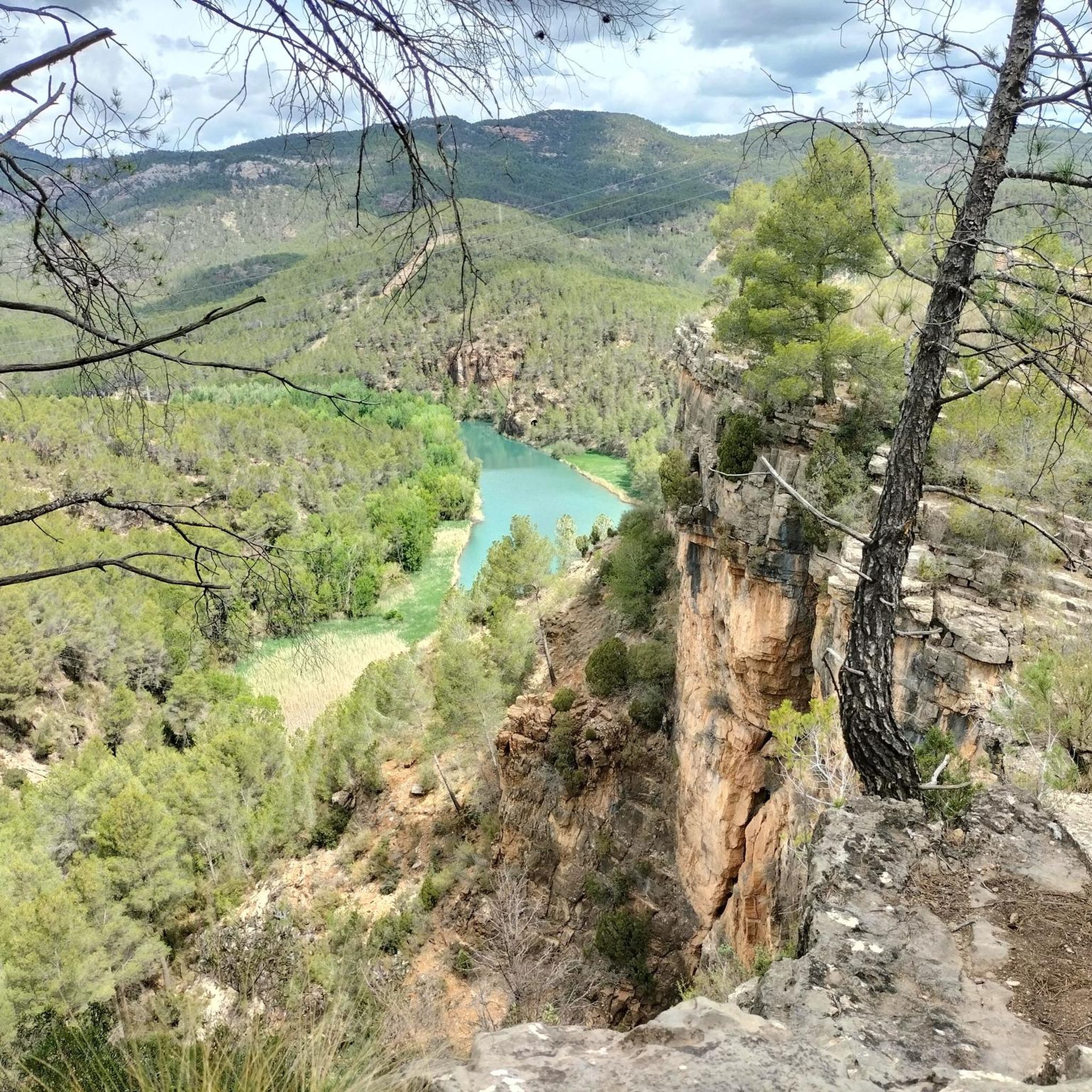
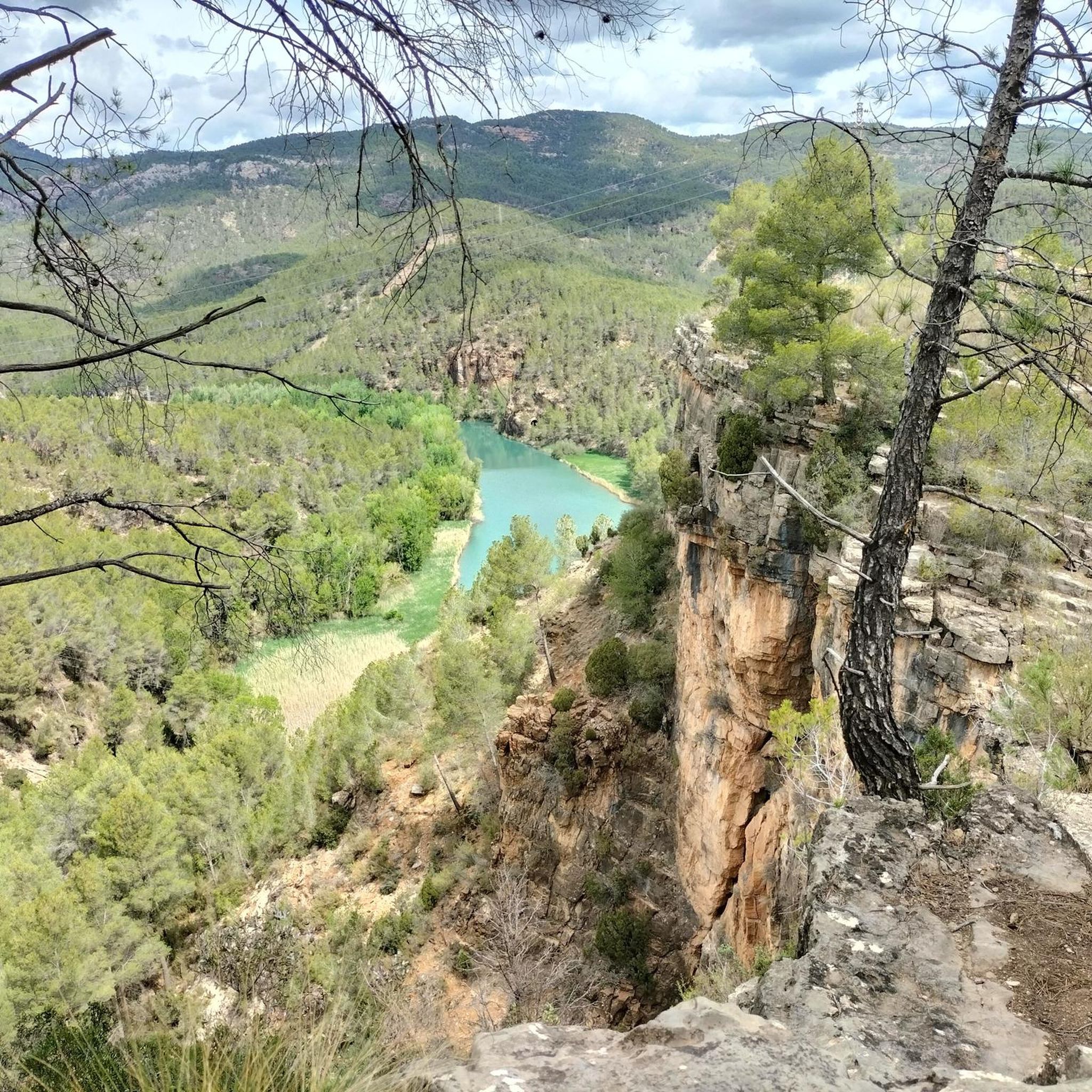
Panoramic point with beautiful views in all directions, the valleys and mountains of the Alto Mijares region. Getting here requires caution and a firm step, since the path is somewhat technical in sections.
3
0
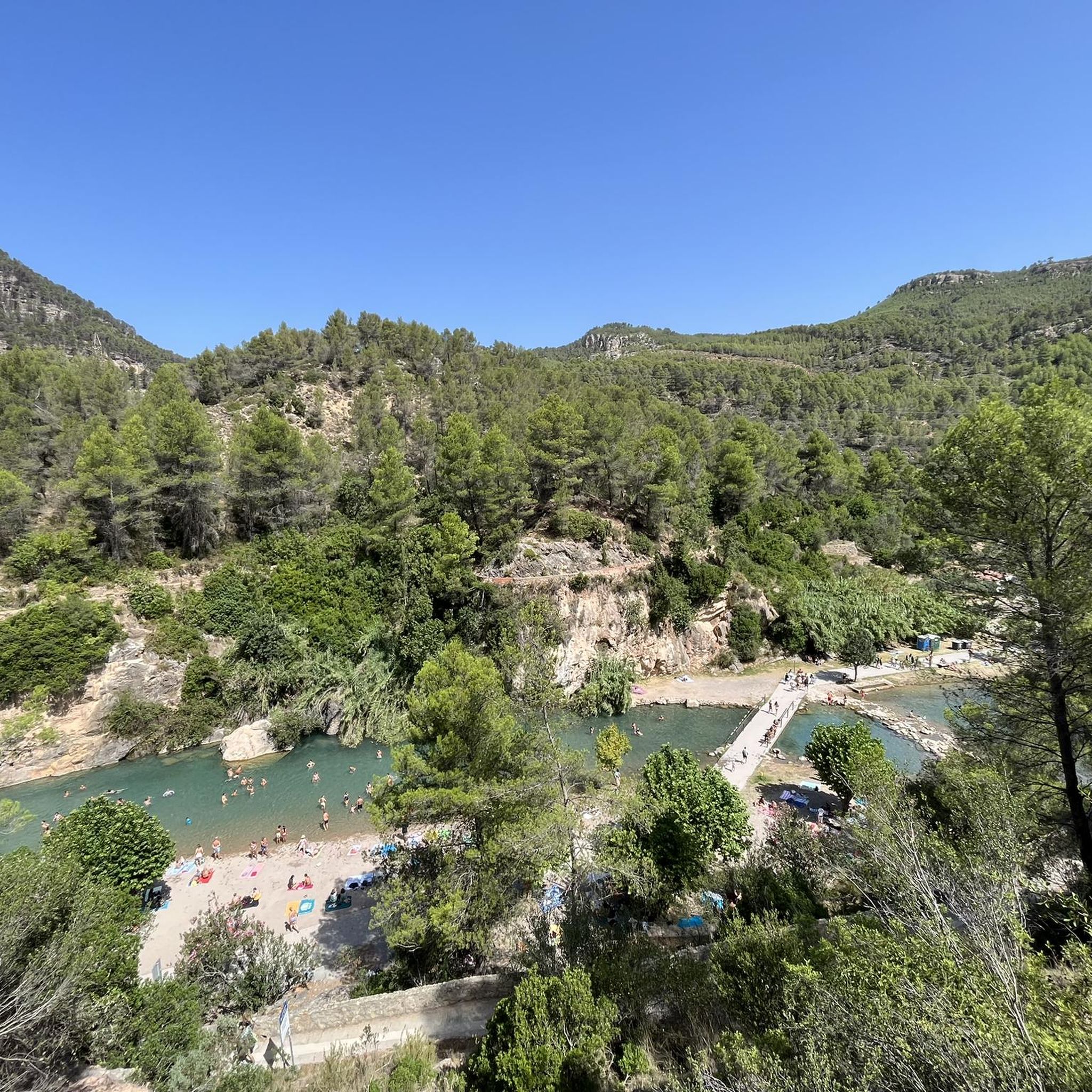
Beautiful and picturesque pool of water ideal for a refreshing swim in summer. Although it has the same name as the one found in Navajas, this waterfall is much less crowded and is not as well known, however it has a special charm due to the natural environment that surrounds it. It can be reached by a somewhat technical path or opt for the forest track that also allows the passage of vehicles.
5
0


The route is of medium difficulty, and reaching the end of the route gives us a wonderful view of the jump.
3
2

Santa Barbara viewpoint, with views of the valley.
2
0
Frequently Asked Questions
What is the general difficulty of hiking trails around Cirat?
Cirat offers a diverse range of hiking difficulties. You'll find approximately 19 easy routes, 45 moderate trails, and 17 more challenging options, catering to various fitness levels and preferences.
Are there easy hikes suitable for beginners in Cirat?
Yes, Cirat has several easy hikes perfect for beginners. One popular choice is the Los Estrechos Trail, which is 3.1 miles (5.1 km) long and follows natural passages, making it a gentle introduction to the area's scenery.
Are there challenging hikes for experienced hikers in Cirat?
Absolutely. For those seeking a challenge, Cirat offers routes with significant elevation gain and varied terrain. A notable difficult option is The Bojera Path (SL-CV 105) — Circular to the Cova Negra, a 5.8-mile (9.3 km) path that provides a demanding experience.
Are there family-friendly hiking options in Cirat?
Many of the easier routes in Cirat are suitable for families, especially those with gentle ascents and shorter distances. The Mas de la Noguereta Trail, for example, is an easy 4.2-mile (6.7 km) route that can be enjoyed by most family members.
Can I bring my dog on hikes around Cirat?
Generally, dogs are welcome on most hiking trails in the Cirat region. However, it's always advisable to keep them on a leash, especially in natural parks or areas with livestock, and to check specific trail regulations if available.
Are there circular hiking routes available in Cirat?
Yes, Cirat features several circular routes that allow you to start and end in the same location. Examples include The Bojera Path (SL-CV 105) — Circular to the Cova Negra and The Bride's Leap — Circular from Cirat, offering varied terrain and scenic loops.
What natural attractions can I see while hiking near Cirat?
The Cirat area is rich in natural beauty. You can explore stunning gorges like Estrechos de Chillapájaros, discover beautiful lakes such as Fuente de los Baños - Montanejos Lake, and enjoy viewpoints like View of Embalse de Arenoso and Muela de Mijares from El Morrón de Campos.
Are there any waterfalls to visit on hikes around Cirat?
Yes, a notable waterfall in the vicinity is the Salto de la Novia of Cirat. This beautiful spot is a popular attraction and can be incorporated into various hiking itineraries in the region.
What is the best time of year to hike in Cirat?
The best time to hike in Cirat is typically during spring (April-June) and autumn (September-November) when temperatures are milder and the natural scenery is vibrant. Summers can be hot, making early morning or late afternoon hikes preferable, while winters are generally mild but can have cooler, wetter days.
What do other hikers enjoy the most about hiking in Cirat?
The hiking experience in Cirat is highly rated by the komoot community, with an average score of 4.4 stars from over 300 reviews. Hikers frequently praise the varied terrain, including river paths and hilly sections, and the well-maintained network of trails that offer options for all ability levels.
Are there opportunities for wild swimming near Cirat hikes?
Yes, the region around Cirat offers spots for wild swimming. The Fuente de los Baños - Montanejos Lake is a well-known area for cooling off, and other river sections like River to Cross and Cool Off provide refreshing opportunities along some routes.
Is parking available at the trailheads in Cirat?
Parking availability varies by trailhead. In Cirat and surrounding villages, you can often find designated parking areas or roadside spots near popular trail starting points. It's recommended to check specific route details on komoot for information on parking facilities.
Most popular attractions around Cirat

Get inspired with the komoot mobile app


Explore more
Browse the best Hikes in other regions.
