The best running trails around Hornillos De Cameros
14
runners
4
runs
Jogging routes Hornillos De Cameros are set within the Leza River basin and the mountainous Sierra de Cameros in La Rioja, Spain. The region is characterized by its varied topography, featuring extensive beech and oak forests, as well as dramatic gorges and valleys. This landscape provides a challenging yet rewarding environment for running, with routes often traversing hilly paths and offering expansive views.
Best jogging routes around Hornillos De Cameros
- The most popular jogging route is Pladortes Ichnite Site loop…
Last updated: June 28, 2026
4
runners
9.71km
01:25
440m
440m
Hard run. Very good fitness required. Mostly paved surfaces. Suitable for all skill levels.
5
runners
48.2km
05:54
1,330m
1,330m
Hard run. Very good fitness required. Mostly paved surfaces. Suitable for all skill levels.

Sign up for free
2
runners
15.5km
01:49
510m
510m
Hard run. Very good fitness required. Mostly paved surfaces. Suitable for all skill levels.
1
runners
Hard run. Very good fitness required. Mostly paved surfaces. Suitable for all skill levels.
2
runners
12.7km
01:38
390m
390m
Hard run. Very good fitness required. Sure-footedness, sturdy shoes and alpine experience required.
Our route recommendations are based on thousands of hikes, rides, and runs completed by other people on komoot.
Start today with a free account
Your next adventure awaits.
Login or Signup
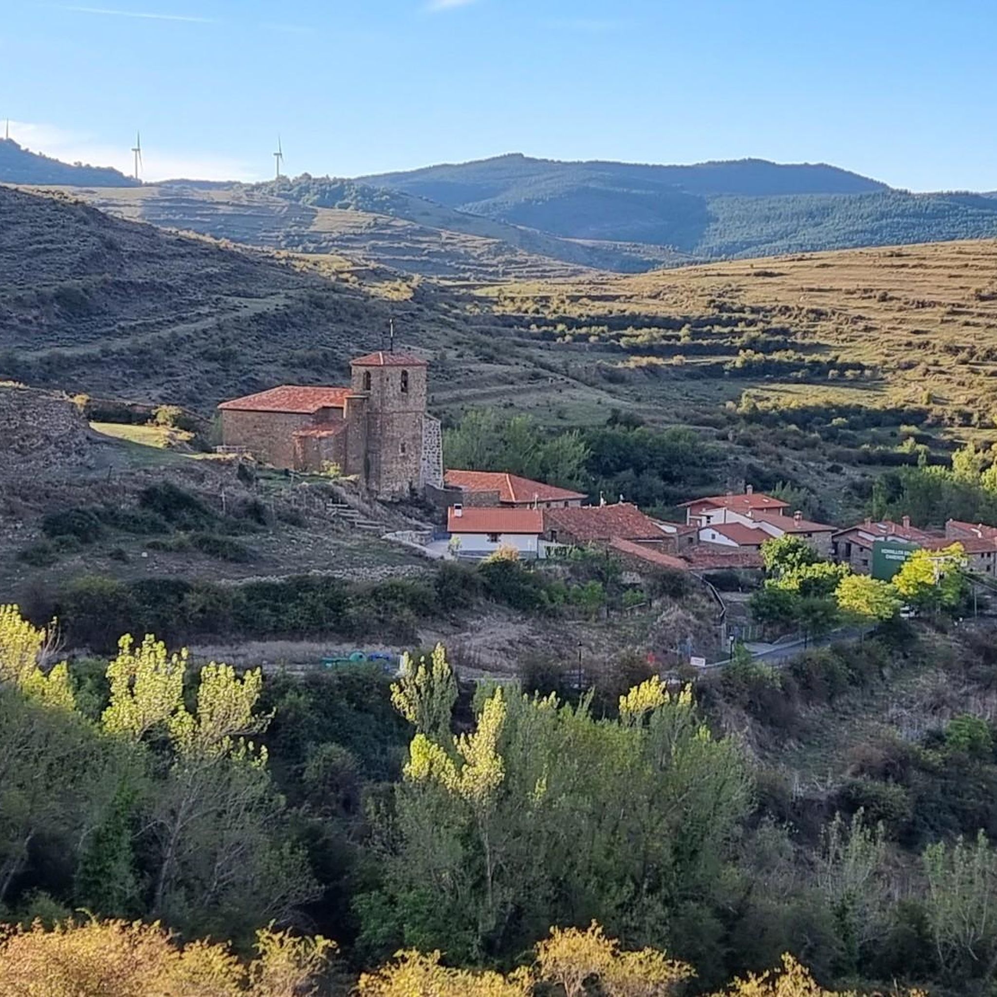
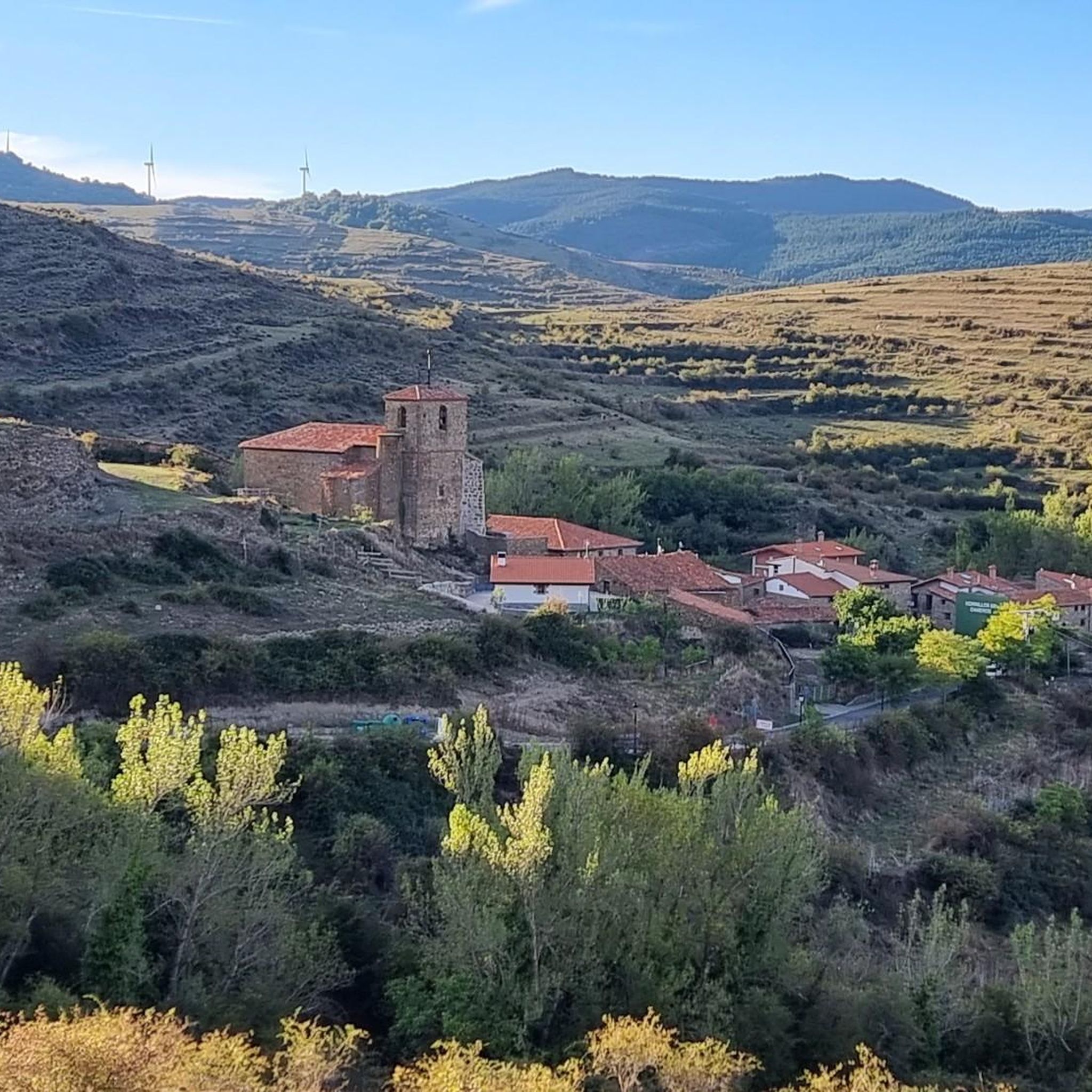
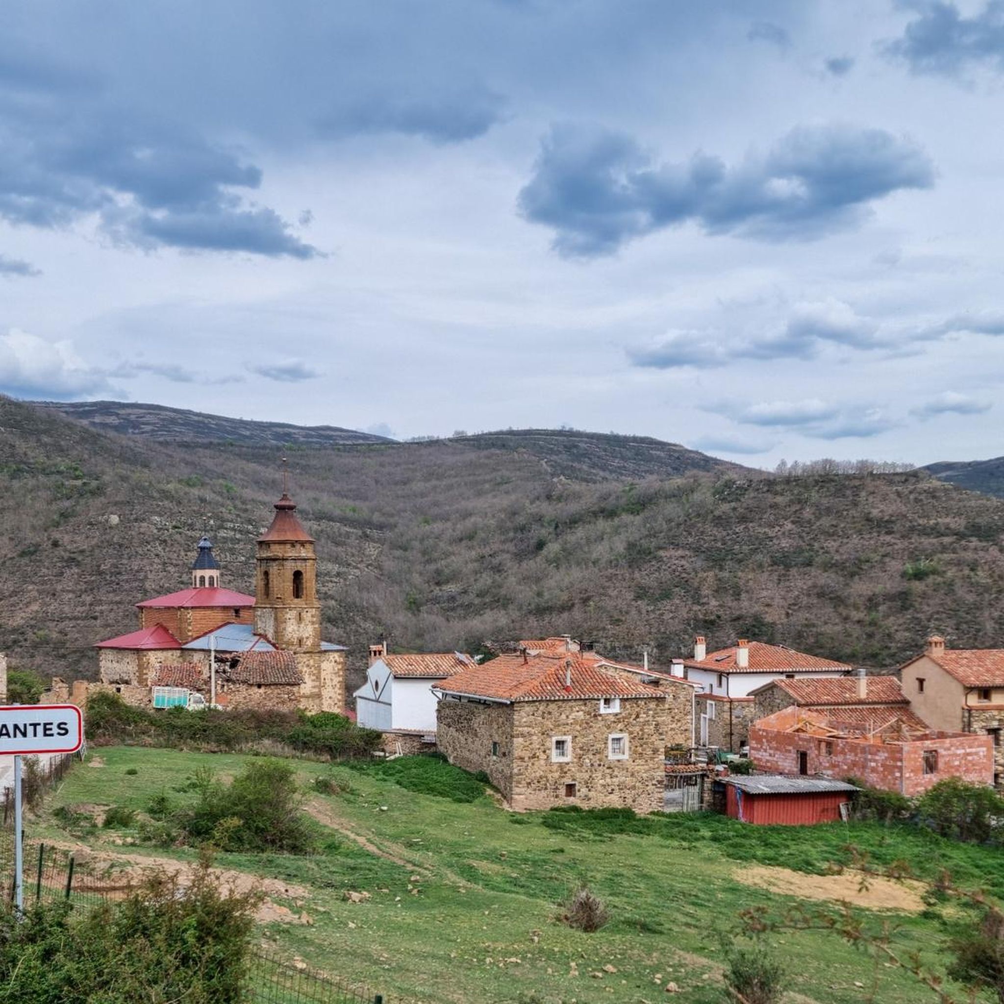
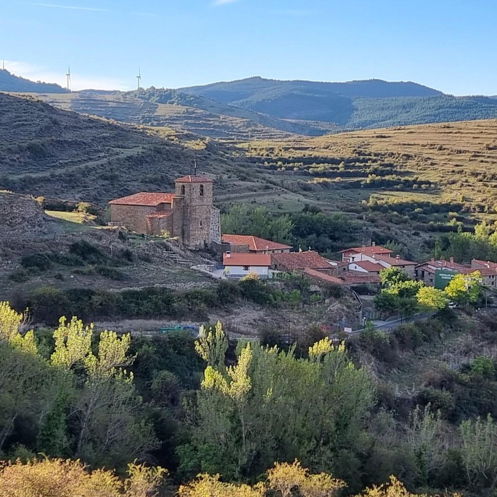
Tips from the Community

Many of the towns and villages in the Camero Viejo region still preserve their meadows today. Long ago, the pastures were very important for these rural areas where cattle were the main source of wealth. Unfortunately, today only a few have been well preserved to walk inside. Luckily, the San Román pasture meets that requirement and exploring it is a delight.
0
0

The economy of Cameros has been based for centuries on livestock. The need for pasture caused the deforestation of the entire area. Only the dehesas of the towns were saved from this practice, some forest redoubts dedicated to the exploitation of wood for firewood and other forest uses. The dehesa of San Román de Cameros is dominated by oak, although there are other species. It is not a "reserve" of a forest, but an adaptation of the forest to the needs of the population. Even so, it is part of the biosphere reserve that is this area.
0
0

It is a site of ichnites while unknown, separated from human transit unless you look for it with a good walk on the path. You can perfectly appreciate the tracks with much more depth, more than normal.
0
0
Frequently Asked Questions
How many running routes are available around Hornillos De Cameros?
Currently, komoot features several dedicated running routes in the Hornillos De Cameros area. These trails offer a variety of distances and elevations, primarily catering to more experienced runners.
What kind of terrain can I expect on the jogging trails in Hornillos De Cameros?
The region is characterized by its mountainous terrain within the Sierra de Cameros, offering a challenging yet rewarding experience. You'll encounter varied topography, including beech and oak forests, gorges, and valleys. Many routes feature significant elevation changes, making them ideal for trail running.
Are there any easier running routes for beginners or casual joggers?
While the dedicated running routes listed in this guide are generally classified as difficult, the broader Hornillos De Cameros area, particularly within the Leza River basin, offers many hiking trails that can be adapted for easier jogs. For example, the 'Leza Canyon Viewpoint loop from Soto en Cameros' is a 5.7 km trail that provides accessible views and a less strenuous option.
What natural sights or landmarks can I discover along the running trails?
The trails often lead through stunning natural landscapes. You might encounter dramatic features like the Leza Canyon Viewpoint, offering spectacular views. The region is also known for paleontological sites with dinosaur footprints, such as the Pladortes Ichnite Site, and beautiful forests of beech and oak trees.
Are there any circular running routes in the area?
Yes, several routes are designed as loops, allowing you to start and finish in the same location. An example is the challenging Pladortes Ichnite Site loop from Soto en Cameros, which covers nearly 10 km with significant elevation.
What is the longest and most challenging running route available?
For those seeking a significant challenge, the Canto Hincado – La Lastra loop from Ajamil de Cameros is the longest and most demanding. This route spans over 48 km with substantial elevation gain, making it suitable for experienced ultra-trail runners.
Can I bring my dog on the running trails?
While many trails in natural areas are dog-friendly, it's always best to check local regulations for specific routes or protected areas. Generally, dogs should be kept on a leash, especially in areas with wildlife or livestock, and owners are expected to clean up after their pets. Always ensure your dog is fit enough for the chosen route.
Are there any running routes that pass by interesting villages or settlements?
Yes, some routes offer glimpses of charming local villages. For instance, the Dehesa of San Román de Cameros – San Román Dehesa loop from San Román de Cameros starts near the settlement of San Román de Cameros, allowing you to experience the local atmosphere.
What is the best time of year to go running in Hornillos De Cameros?
The spring and autumn months generally offer the most pleasant conditions for running, with milder temperatures and beautiful natural scenery. Summers can be warm, especially at lower elevations, while winters can bring colder temperatures and potentially snow in the higher Sierra de Cameros, requiring appropriate gear.
Are there any routes suitable for a longer, endurance-focused run?
Absolutely. For endurance training, consider routes like the Running loop from Solana de los Obispos, which covers over 15 km with significant elevation. The region's challenging terrain is even used for events like the 'Rioja Trail Camero Viejo', highlighting its suitability for demanding endurance sports.
Where can I find parking near the trailheads?
Parking availability varies by trailhead. For routes starting from villages like Soto en Cameros or San Román de Cameros, you can often find public parking within the village or at designated spots near the trail access points. It's advisable to check specific route details or local signage upon arrival.
Most popular attractions around Hornillos De Cameros

Get inspired with the komoot mobile app


Explore more
Browse the best Running Trails & Routes in other regions.
