The best road cycling routes around Minglanilla
5.0
(1)
237
riders
17
rides
Road cycling routes around Minglanilla feature diverse terrain, from challenging climbs to scenic paths. The region is characterized by its mountainous and hilly landscapes, offering significant elevation changes. Cyclists can experience panoramic vistas from elevated points and navigate routes that include both paved and unpaved segments.
Best road cycling routes around Minglanilla
- The most popular road cycling route is Contreras Viewpoint – Cabriel Valley Viewpoint loop from Graja de Iniesta, a 67.5 miles (108.6 km) trail that takes 5…
Last updated: July 11, 2026
25
riders
109km
05:32
1,460m
1,460m
Hard road ride. Very good fitness required. Some segments of this route may be unpaved and difficult to ride.
22
riders
52.5km
02:52
800m
800m
Moderate road ride. Good fitness required. Some segments of this route may be unpaved and difficult to ride.

Sign up for free
5.0
(1)
18
riders
29.9km
01:39
610m
610m
Moderate road ride. Good fitness required. Mostly well-paved surfaces and easy to ride.
20
riders
Hard road ride. Very good fitness required. Mostly well-paved surfaces and easy to ride.
14
riders
44.7km
01:57
370m
370m
Moderate road ride. Good fitness required. Mostly well-paved surfaces and easy to ride.
Get access to more routes and recommendations from other explorers.
Sign up for free
Already have an account?
Our route recommendations are based on thousands of hikes, rides, and runs completed by other people on komoot.
Start today with a free account
Your next adventure awaits.
Login or Signup
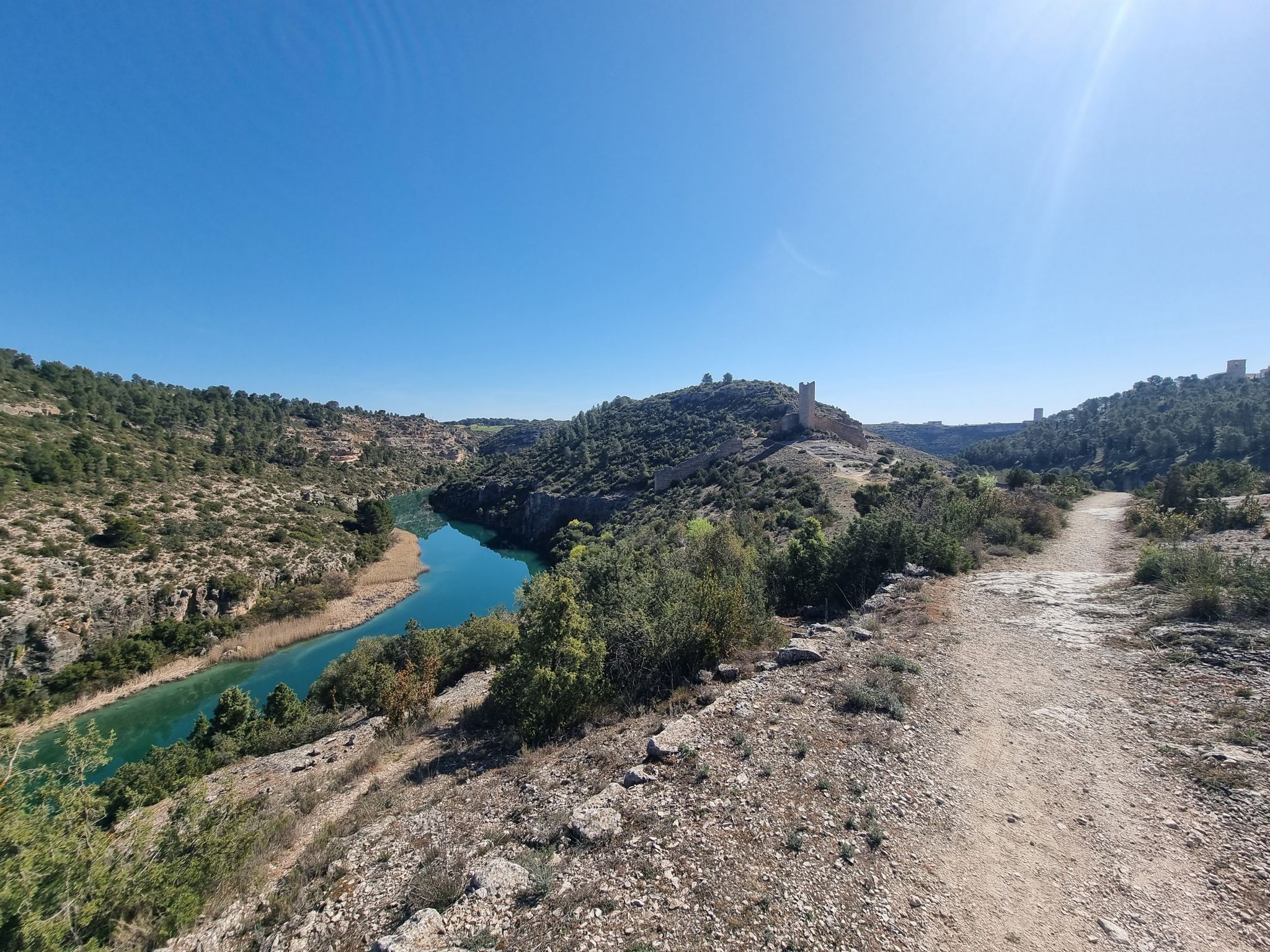
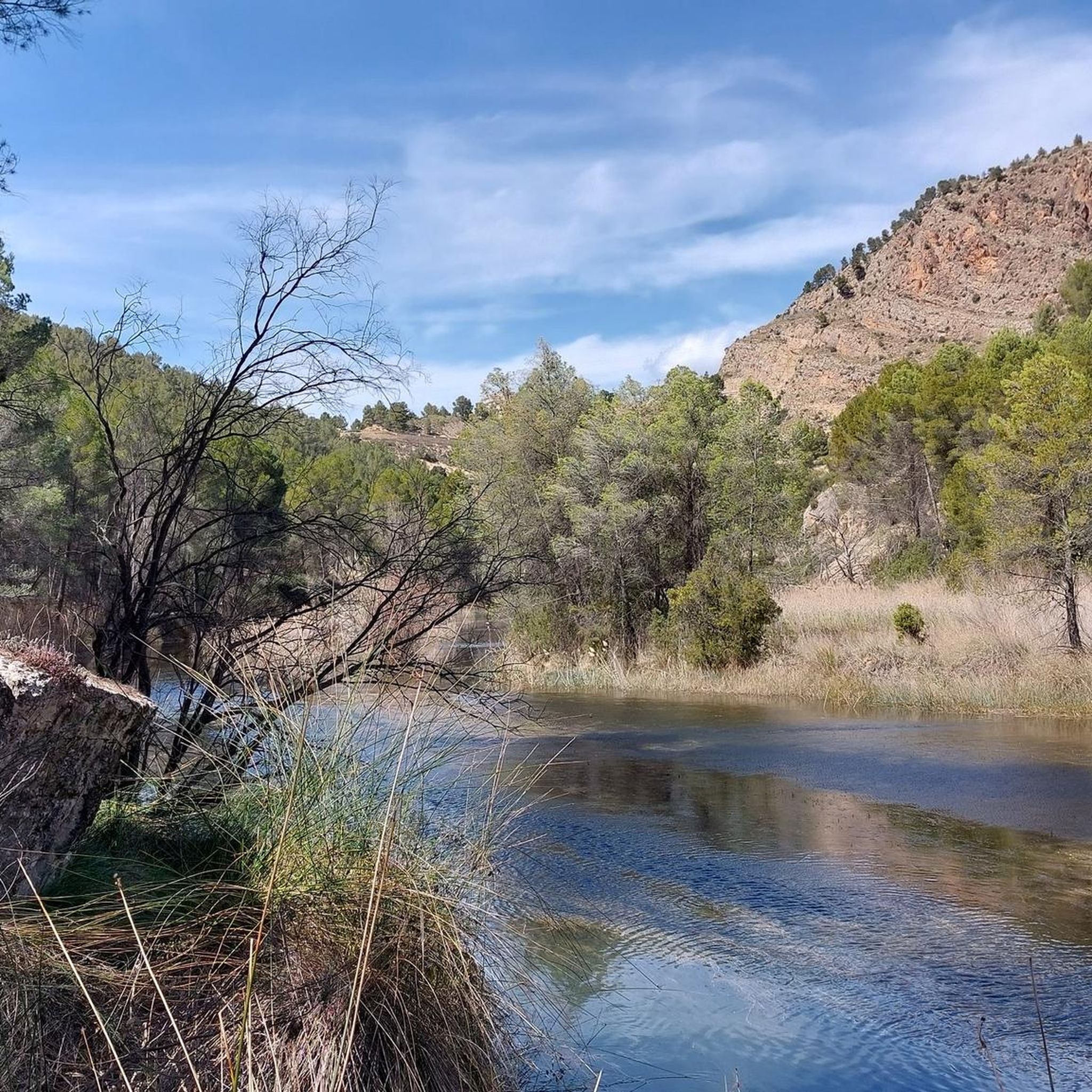
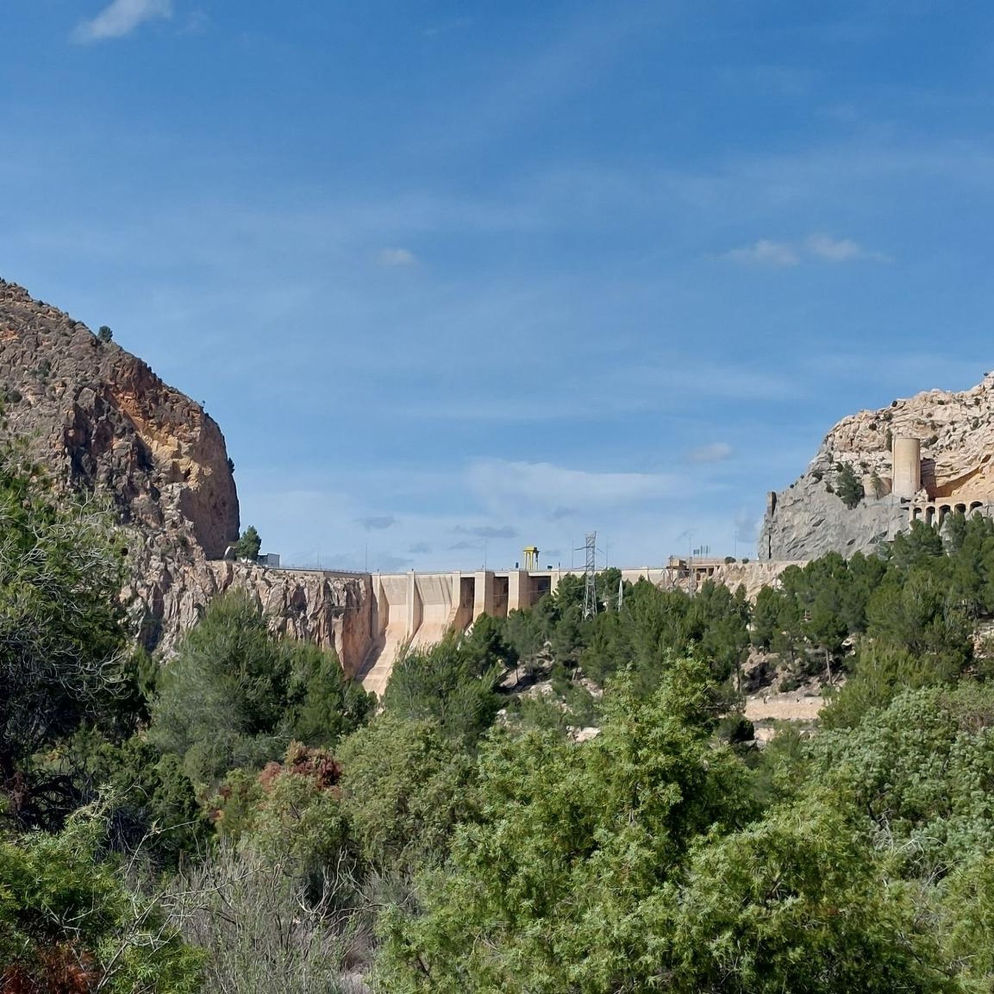
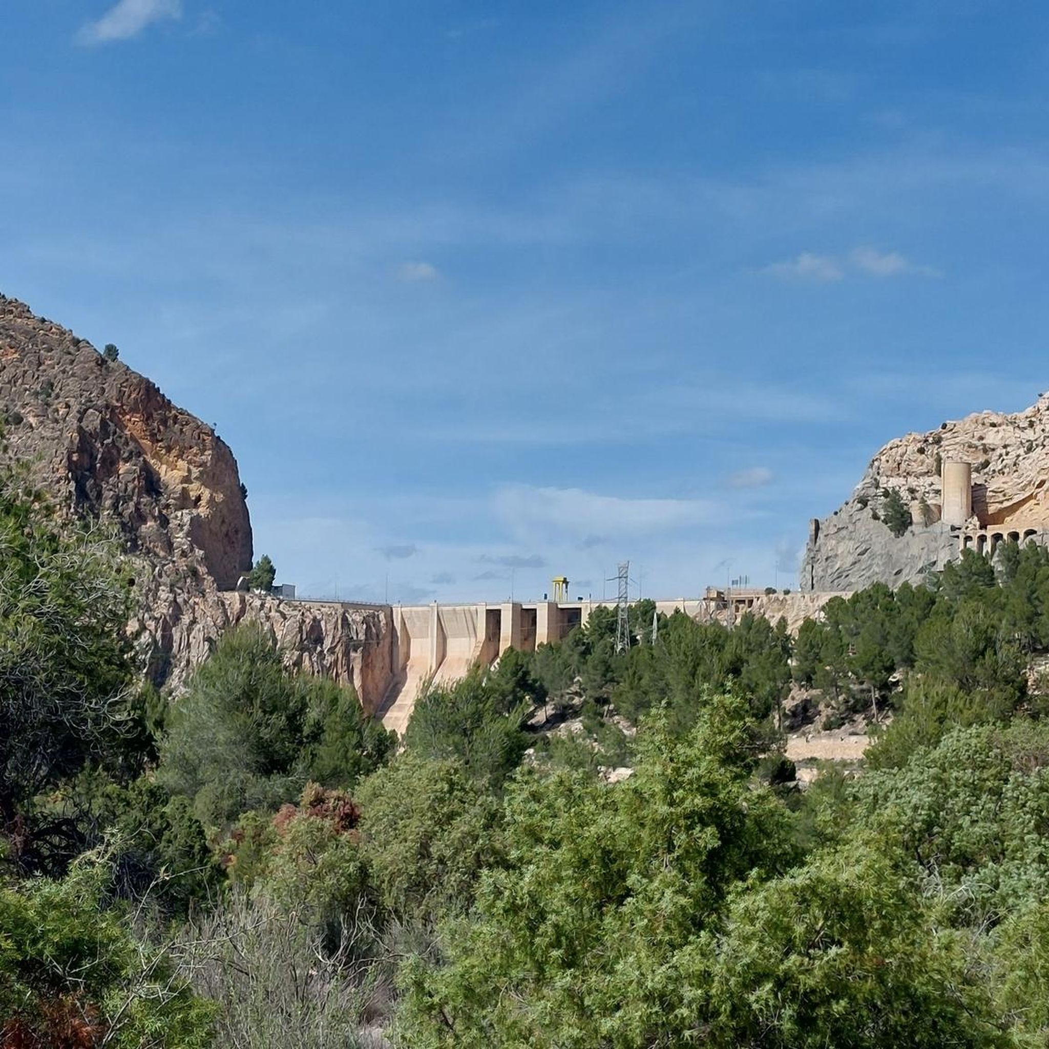
Other adventures around Minglanilla

Tips from the Community

Beautiful viewpoint of the dam, the river and the factory.
11
0
The Contreras dam (Embalse de Contreras) is a 129-meter-high arch dam built in 1972. Located on the border of the provinces of Cuenca (Castilla-La Mancha) and Valencia, the dam spans the Cabriel and Guadazaón rivers. The reservoir serves mainly for water supply, flood protection, and irrigation.
11
1
7 bow bridge, so beautiful
11
0
Some houses are still inhabited!!
0
0
Villargordo del Cabriel is a municipality in the Requena-Utiel region, in the province of Valencia. The town is located on the banks of the Cabriel River and is on the border between Castilla-La Mancha and the Valencia region. One of the biggest tourist attractions is the beautiful nature, which is remarkably well preserved.
14
0
Small village in a beautiful setting, with a central square, a small shop and a huge church.
13
0

The entrance to the village of Camporrobles leads into a typical rural village of the Utiel-Requena region, with its parish church of Our Lady of the Assumption and its bell tower visible from afar, surrounded by traditional houses and streets that lead to the village center. It is a peaceful and pleasant place, ideal for a break, stretching your legs, and recharging your batteries before continuing your journey.
0
0
Frequently Asked Questions
What kind of terrain can I expect on road cycling routes in Minglanilla?
Minglanilla offers diverse terrain for road cycling, characterized by challenging climbs and varied landscapes. You'll encounter significant elevation changes, mountainous and hilly sections, and routes that may include both paved and unpaved segments. Notable climbs like the 'Belmont Climb to Lake Bensis' and 'Manduang Ridgeline Climb' are known for their steep gradients.
How many road cycling routes are available in Minglanilla?
There are 18 road cycling routes around Minglanilla documented on komoot, offering a range of experiences from moderate to difficult.
Are there challenging road cycling routes in Minglanilla for experienced riders?
Yes, Minglanilla is well-suited for experienced riders seeking a challenge. Ten of the routes are rated as difficult, featuring substantial elevation gain and demanding climbs. For example, the Contreras Viewpoint – Cabriel Valley Viewpoint loop from Graja de Iniesta is a difficult 67.5-mile route with over 1400 meters of elevation gain.
What are some scenic viewpoints or natural features I can see along the road cycling routes?
Minglanilla's routes offer panoramic vistas, especially from elevated points like Lubas Minglanilla. You can also find serene, tree-lined environments such as the Man-Made Forest in Camp 7 along the Toledo-Manipis road. Specific viewpoints include Peña Azul Viewpoint, Hoz del Rabo de la Sartén Viewpoint, and Cabriel Valley Viewpoint.
Are there any loop trails for road cycling in Minglanilla?
Yes, many road cycling routes in Minglanilla are designed as loops. An example is the Contreras Inn – Cabriel Valley Viewpoint loop from Graja de Iniesta, a moderate 32.6-mile path offering varied terrain and scenic vistas.
What do other road cyclists say about their experience in Minglanilla?
The road cycling routes in Minglanilla are highly rated by the komoot community, with an average score of 5.0 stars. Over 240 road cyclists have explored the area, often praising the challenging climbs, mountainous terrain, and scenic viewpoints.
Are there any historical landmarks or attractions near the cycling routes?
Yes, you can encounter several interesting landmarks. These include the historic Vadocañas Bridge and the Contreras Bridge - Cabriel River. Additionally, historical sites like the Peñas Blancas Path Trench and Contreras Trench are also nearby.
What is a good moderate-difficulty road cycling route in Minglanilla?
For a moderate challenge, consider the Contreras Viewpoint – Villargordo del Cabriel loop from Caravaning. This 18.6-mile trail leads through hilly sections and past viewpoints, typically completed in about 1 hour 38 minutes.
Are there any natural spring resorts or places to relax after a ride?
Yes, the Tubod Flowing Waters Resort is a notable attraction in the area, offering natural spring pools and gardens. It provides a refreshing stop or alternative activity for outdoor enthusiasts after a ride.
Can I find routes that offer a mix of terrain, including some unpaved sections?
While primarily focused on road cycling, some routes in Minglanilla do feature both paved and unpaved segments, adding an adventurous element for those with suitable bikes or who enjoy varied surfaces.
What is the longest road cycling route available in Minglanilla?
The longest road cycling route is the Contreras Viewpoint – Cabriel Valley Viewpoint loop from Graja de Iniesta, which spans 67.5 miles (108.6 km) and typically takes around 5 hours 27 minutes to complete.
Are there any routes that offer views of the coastline?
Yes, from elevated points within Minglanilla, cyclists can enjoy panoramic vistas that include views of the coastline and surrounding areas.
Most popular attractions around Minglanilla

Get inspired with the komoot mobile app


Explore more
Browse the best Road cycling routes in other regions.
