The best road cycling routes around Bretzfeld
4.6
(37)
480
riders
31
rides
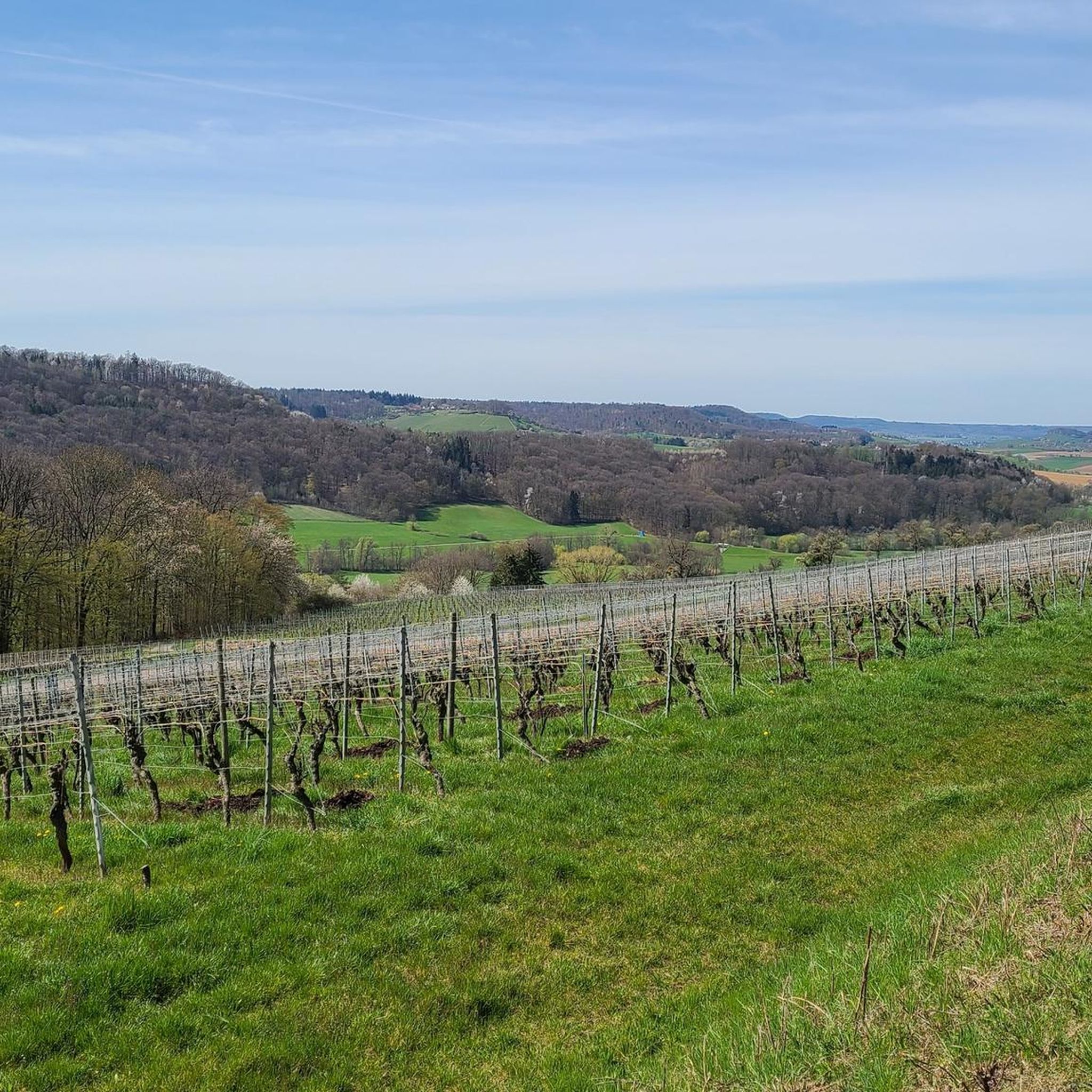
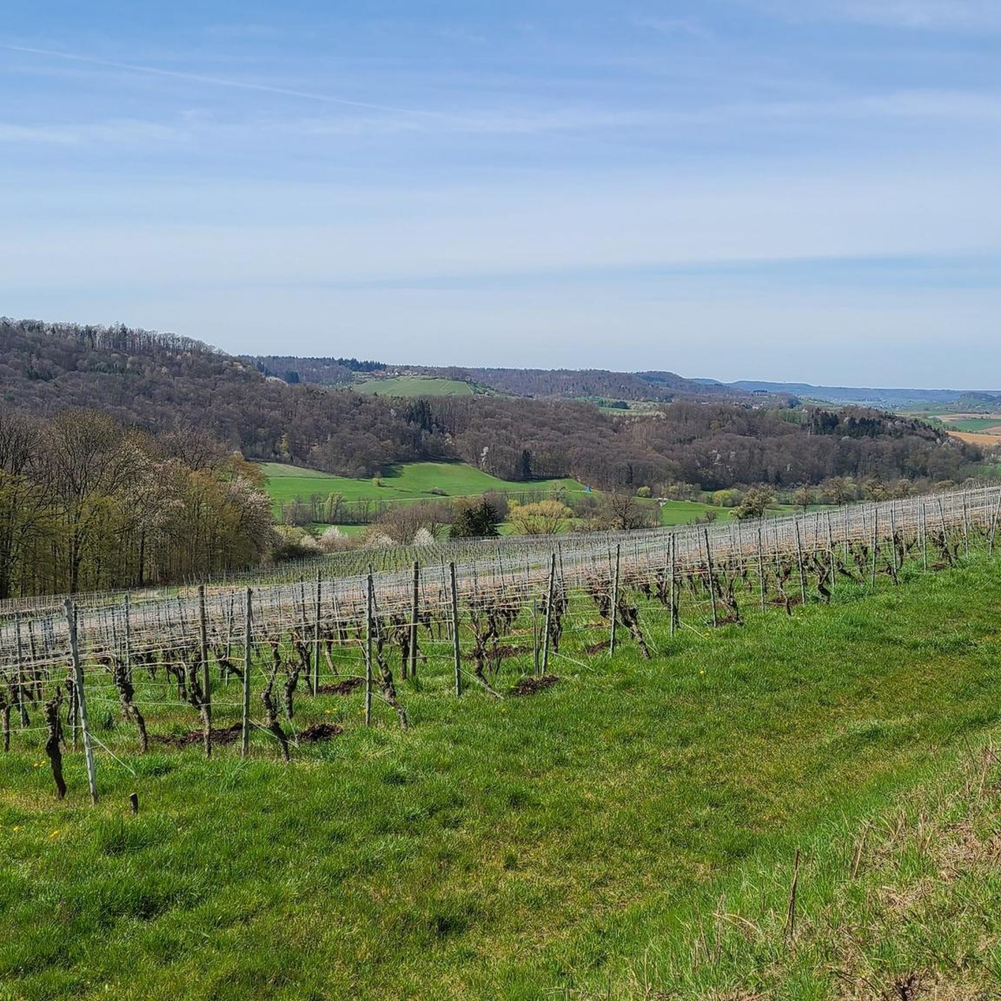
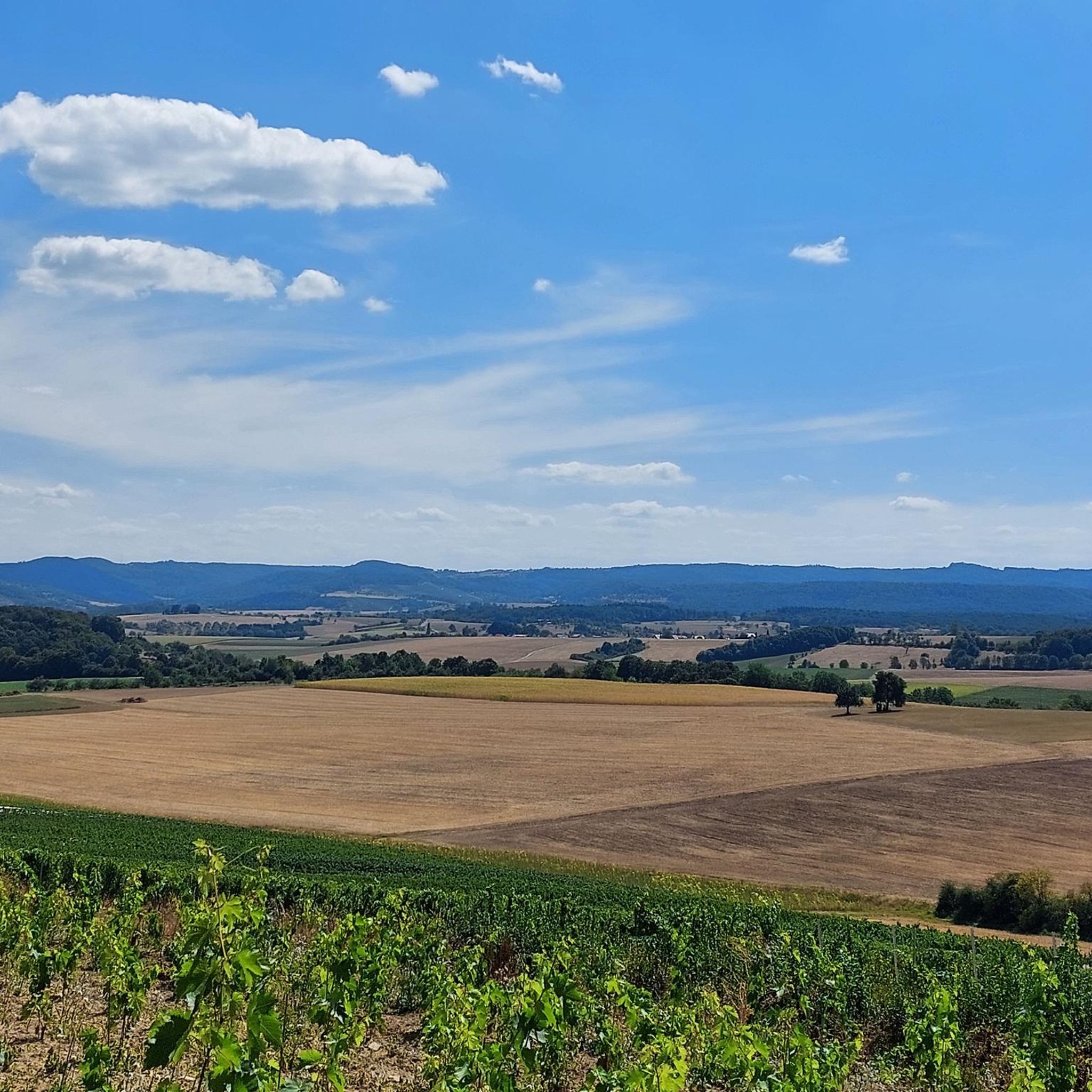
Road cycling around Bretzfeld offers diverse landscapes, from rolling hills and fertile fields to extensive forests and vineyards. Situated on the edge of the Swabian-Franconian Forest Nature Park, the region features varied terrain suitable for different cycling preferences. Cyclists can navigate routes through picturesque wine country or follow paths along river valleys like the Sulm and Brettach. The area's geographical diversity provides both leisurely rides and more challenging ascents.
Best road cycling routes around Bretzfeld
- The most popular road cycling…
Last updated: October 11, 2026
5.0
(10)
80
riders
40.1km
01:54
480m
480m
Moderate road ride. Good fitness required. Some segments of this route may be unpaved and difficult to ride.
46
riders
93.3km
03:56
580m
580m
Moderate road ride. Good fitness required. Mostly well-paved surfaces and easy to ride.

5.0
(1)
31
riders
24.3km
01:05
230m
230m
Easy road ride. Great for any fitness level. Mostly well-paved surfaces and easy to ride.
37
riders
105km
04:32
810m
810m
Moderate road ride. Good fitness required. Mostly well-paved surfaces and easy to ride.
4.0
(2)
30
riders
Moderate road ride. Good fitness required. Some segments of this route may be unpaved and difficult to ride.
Get access to more routes and recommendations from other explorers.
Already have an account?
Our route recommendations are based on thousands of hikes, rides, and runs completed by other people on komoot.
Start today with a free account
Your next adventure awaits.
Popular around Bretzfeld
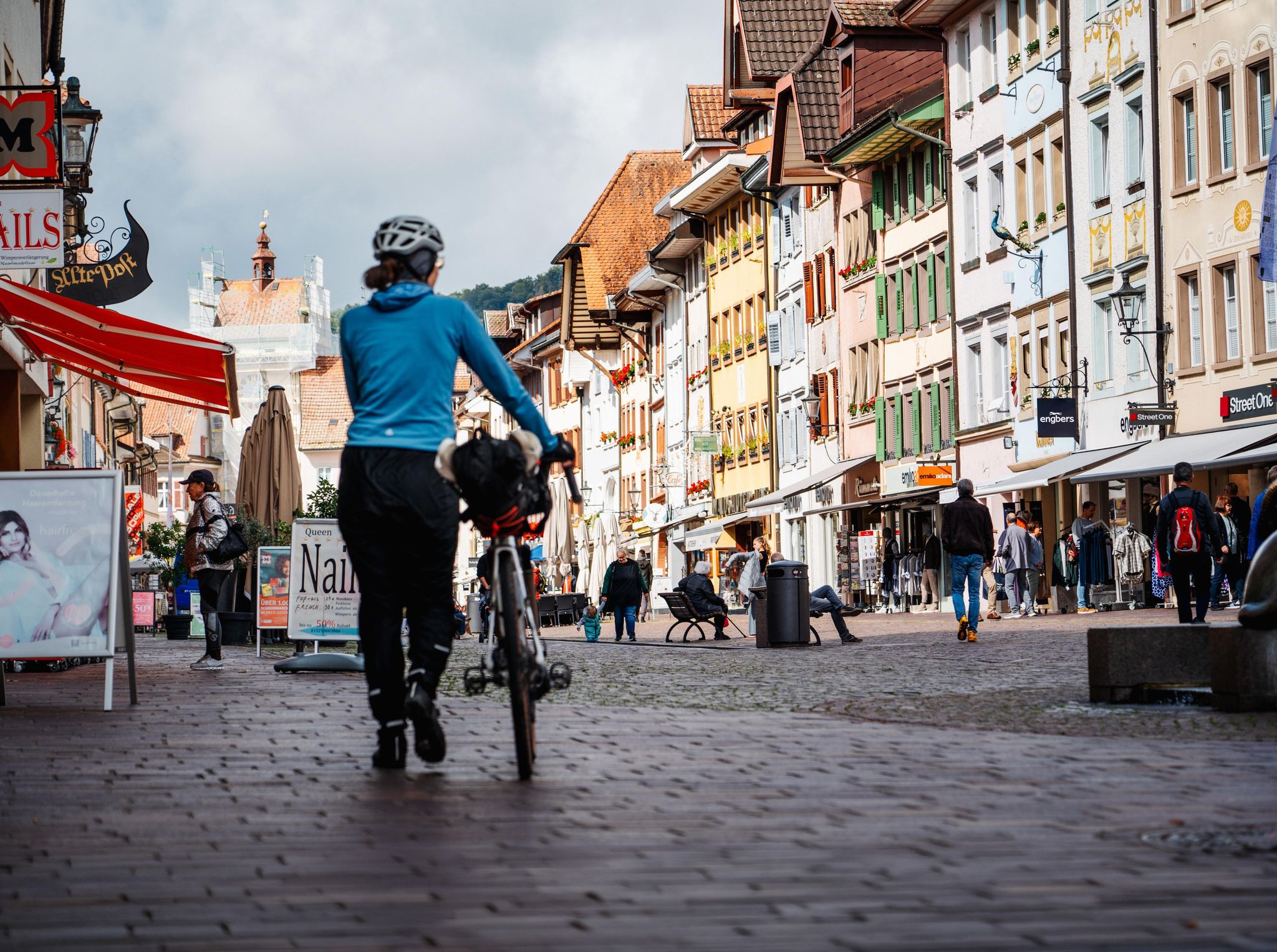
Adventure on two wheels – overnight cycling trips in Baden-Württemberg
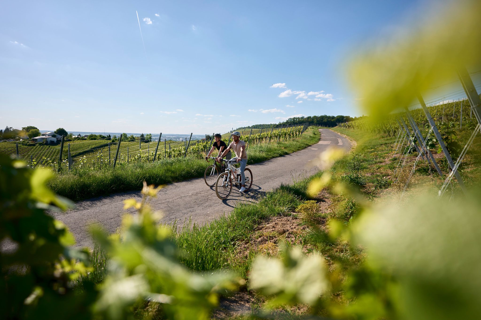
Württemberg Wine Route from the Tauber Valley to the Neckar
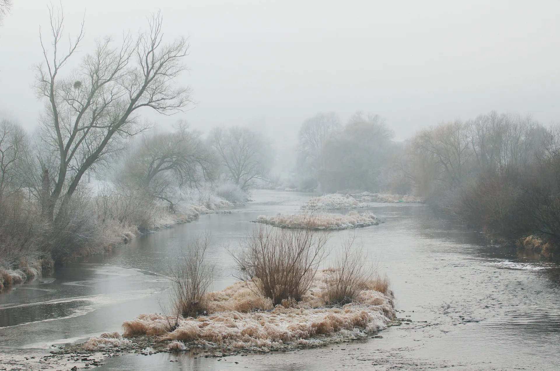
Achtsam durch den Winter – Stille erleben in Hohenlohe und Taubertal
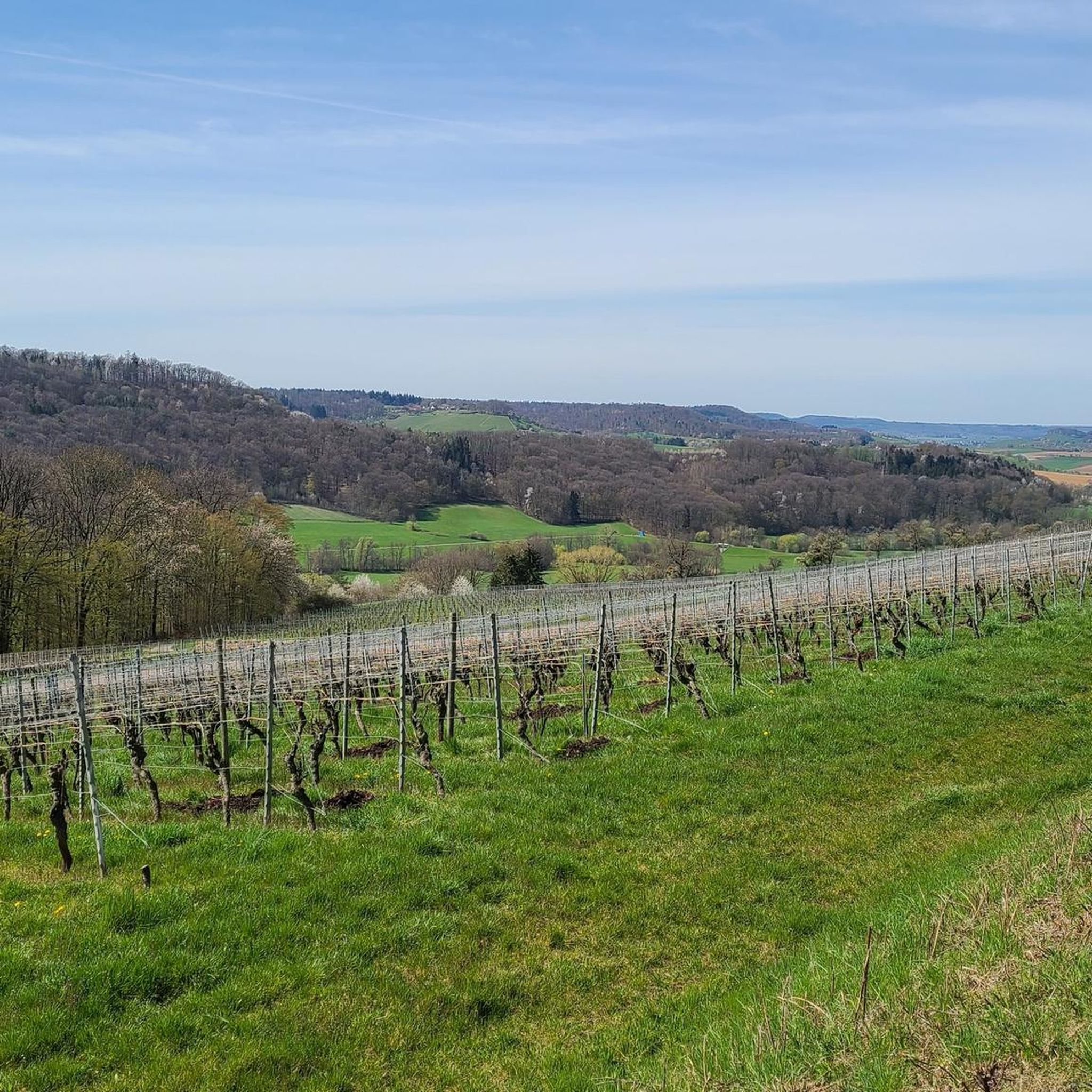
Cycling around Bretzfeld
Hiking around Bretzfeld
MTB Trails around Bretzfeld
Running Trails around Bretzfeld
Gravel biking around Bretzfeld
Mountain Hikes around Bretzfeld
Other adventures around Bretzfeld


Tips from the Community


Here there is a very wide valley with many meadows and fields.
3
0
A square stone tower is visible from afar.
2
0

Village and distillery in one.
0
0


Drinks and pizza. Toilet in the train car
0
0

A look at Guttenberg Castle is worthwhile
0
0

Worth seeing for anyone who likes old buildings, Weibertreu Castle has a great history.
0
0
Frequently Asked Questions
How many road cycling routes are available around Bretzfeld?
Bretzfeld offers a wide selection of road cycling routes, with over 30 options available. These routes cater to various skill levels, including easy, moderate, and difficult rides through the diverse landscapes of the region.
What kind of terrain can I expect on road cycling routes in Bretzfeld?
The terrain around Bretzfeld is quite varied. You can expect picturesque vineyards, rolling hills, fertile fields, and extensive forests. Routes often follow river valleys like the Sulm and Brettach for flatter sections, while others ascend through the sunny vineyards of the Löwensteiner Mountains, offering more challenging climbs and panoramic views.
What is the best time of year for road cycling in Bretzfeld?
Bretzfeld enjoys a mild climate with abundant sunshine, making it pleasant for road cycling from April to October. During these months, the weather is generally favorable for exploring the vineyards, forests, and river valleys.
Are there easy road cycling routes suitable for beginners in Bretzfeld?
Yes, Bretzfeld offers several easy road cycling routes perfect for beginners. One such option is the Ohrntal Cycle Path loop from Bitzfeld, a 15.1-mile (24.3 km) trail that leads through the scenic Ohrntal valley with minimal elevation gain.
Are there challenging road cycling routes for experienced cyclists?
Absolutely. For experienced cyclists seeking a challenge, routes with significant elevation changes are available. An example is the View of the Kocher River – Ellhofen Bypass Cycle Path loop from Bretzfeld, which covers over 65 miles (105 km) and includes substantial climbs, offering a demanding ride through varied landscapes.
What natural attractions can I see along road cycling routes in Bretzfeld?
Many routes wind through the Swabian-Franconian Forest Nature Park and past notable natural features. You might encounter the Hüttlenwald Gorge with its unique sandstone structures, or the Hohler Stein Erosion Natural Monument. The region is also known for its picturesque vineyards and the refreshing Breitenauer See (Lake).
Are there any observation points or scenic viewpoints on the routes?
Yes, the region offers several excellent viewpoints. The Aussichtsturm Steinknickle observation tower, at 525 meters altitude, provides expansive views that can reach the Odenwald. Many routes through the Löwensteiner Mountains also offer panoramic vistas over the vineyards and surrounding countryside.
Are there family-friendly road cycling routes in Bretzfeld?
For families, the flatter sections along the Sulm and Brettach rivers are ideal. These routes pass through fertile fields and orchards, offering a relaxed cycling experience away from heavy traffic. Consider easy-rated routes for a comfortable family outing.
Are road cycling routes around Bretzfeld suitable for cycling with dogs?
While road cycling itself is generally not ideal for dogs due to speed and hard surfaces, many routes pass through natural areas where you might find opportunities for your dog to walk or run alongside. Always ensure your dog is well-trained, on a leash, and that the route is safe and appropriate for them. Consider routes with less traffic and more natural breaks.
Where can I find parking for road cycling routes in Bretzfeld?
Parking is generally available in and around Bretzfeld, particularly in village centers or near popular trailheads. Many routes, such as the Pfedelbach Castle – Mittelmühlenweg Ramp loop from Bitzfeld, start from accessible locations where parking can be found. It's advisable to check specific starting points for designated parking areas.
Are there options for bike rental in Bretzfeld?
Yes, the region is well-equipped for cyclists, and e-bike rental options are available. This can be particularly helpful for tackling the more challenging, hilly sections of the routes, making them accessible to a broader range of cyclists.
Can I find cafes or places to stop for refreshments along the routes?
Absolutely. The Bretzfeld region is known for its local gastronomy and wine production. Many routes wind through villages and past wineries, offering opportunities for wine tasting and stops at traditional 'Besenwirtschaften' (seasonal wine taverns) or local cafes for refreshments and traditional Swabian and Franconian dishes.
What do other road cyclists enjoy the most about road cycling in Bretzfeld?
The road cycling routes around Bretzfeld are highly rated by the komoot community, with an average score of 4.3 stars from over 20 reviews. Cyclists often praise the diverse landscapes, from rolling vineyards to quiet river valleys, and the well-maintained, clearly marked paths that ensure a smooth and enjoyable riding experience.
Most popular routes around Bretzfeld
Most popular attractions around Bretzfeld

Get inspired with the komoot mobile app


Explore more
Browse the best Road cycling routes in other regions.
