The best walks and hikes around Bretzenheim
4.3
(573)
1,922
hikers
20
hikes
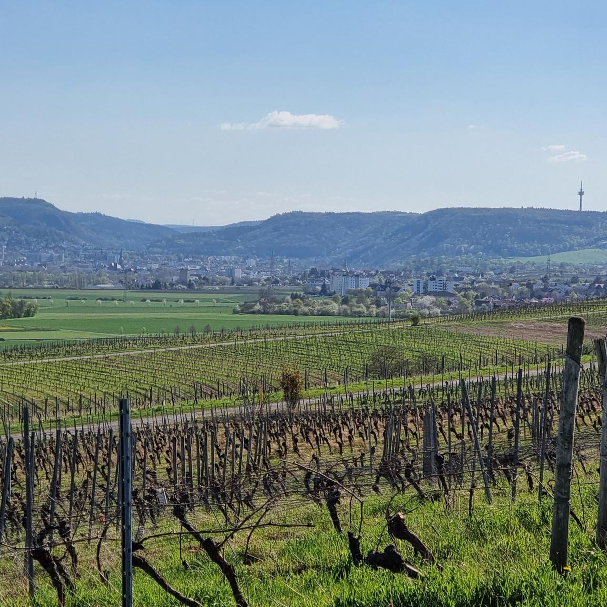
Hiking around Bretzenheim offers diverse landscapes, situated on the edge of the Hunsrück Mountains. The region features picturesque vineyards, the Nahe River Valley, and rolling hills with dense forests. Notable natural features include the imposing Rotenfels rock formation and the historic Felseneremitage, a unique rock-carved hermitage.
Best hiking trails around Bretzenheim
- The most popular hiking route is Sandstone Cliff in Hunsrück – Rock Hermitage Bretzenheim loop from Bretzenheim, a 6.8 miles (10.9 km) trail that takes about 3 hours…
Last updated: October 4, 2026
4.8
(437)
1,379
hikers
Moderate hike. Good fitness required. Easily-accessible paths. Suitable for all skill levels.
4.7
(70)
192
hikers
5.04km
01:25
110m
110m
Easy hike. Great for any fitness level. Easily-accessible paths. Suitable for all skill levels.

3.3
(4)
30
hikers
2.79km
00:46
50m
50m
Easy hike. Great for any fitness level. Easily-accessible paths. Suitable for all skill levels.
4.9
(7)
24
hikers
Moderate hike. Good fitness required. Easily-accessible paths. Suitable for all skill levels.
4.3
(10)
34
hikers
Easy hike. Great for any fitness level. Easily-accessible paths. Suitable for all skill levels.
Get access to more routes and recommendations from other explorers.
Already have an account?
Our route recommendations are based on thousands of hikes, rides, and runs completed by other people on komoot.
Start today with a free account
Your next adventure awaits.
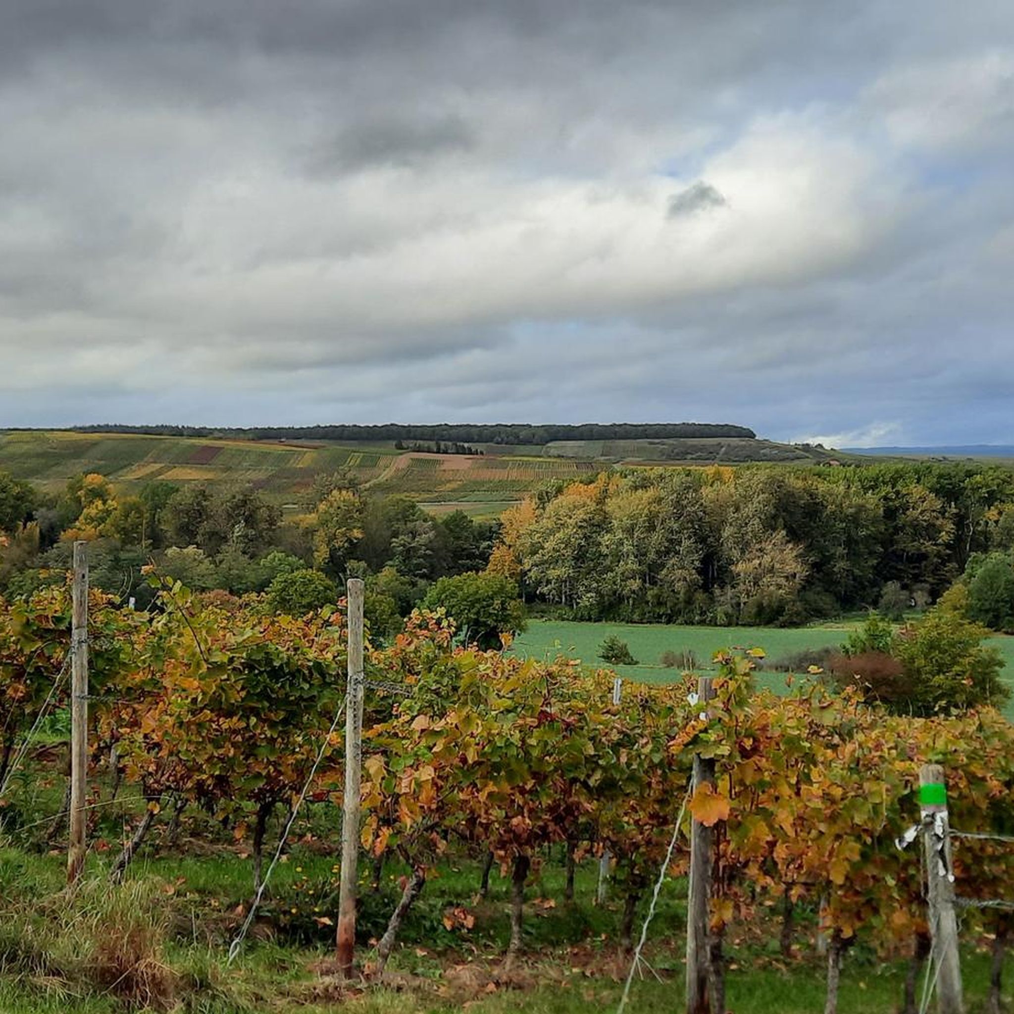
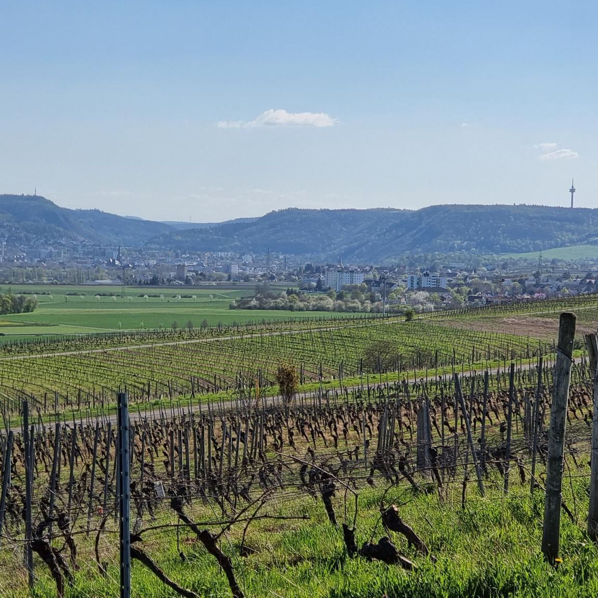
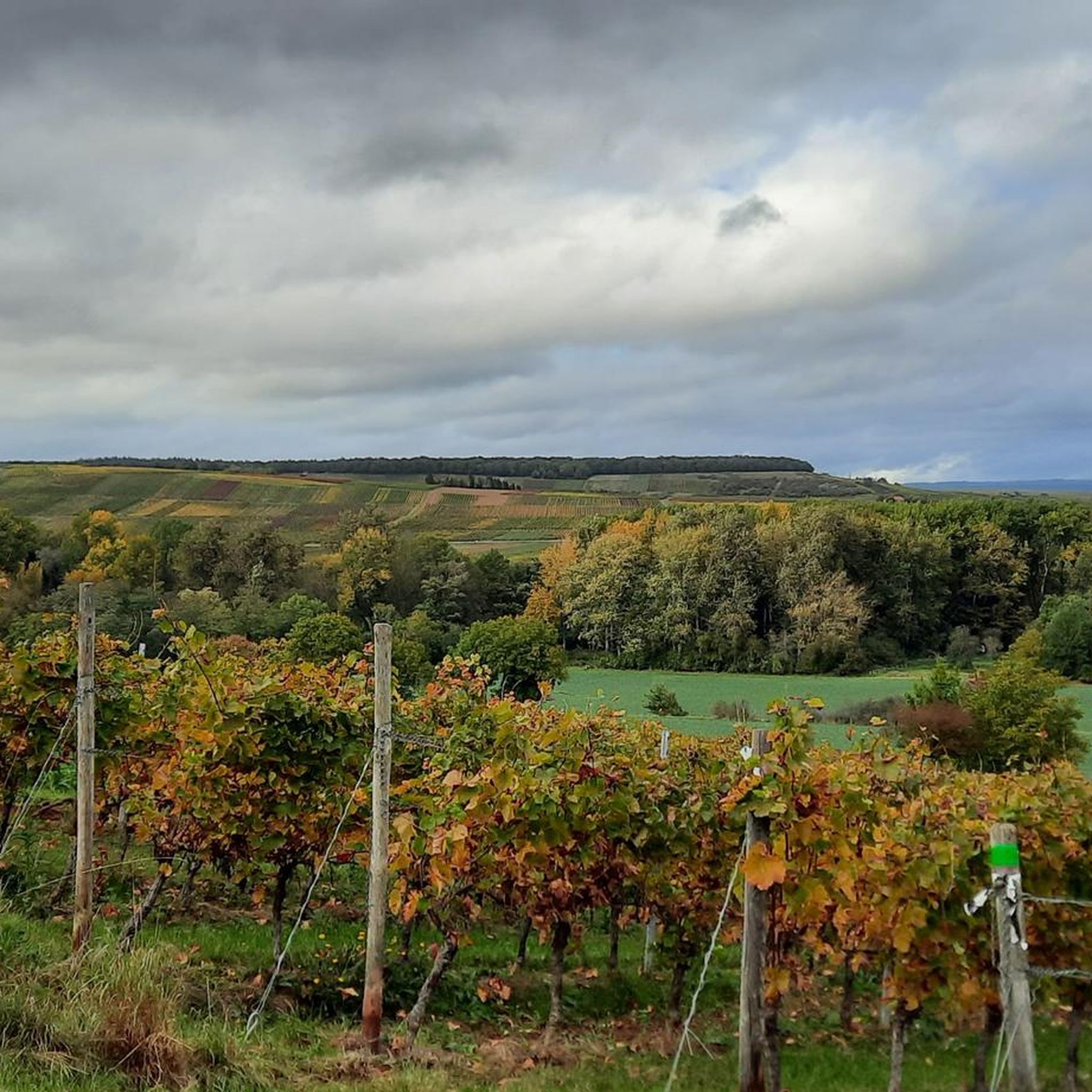
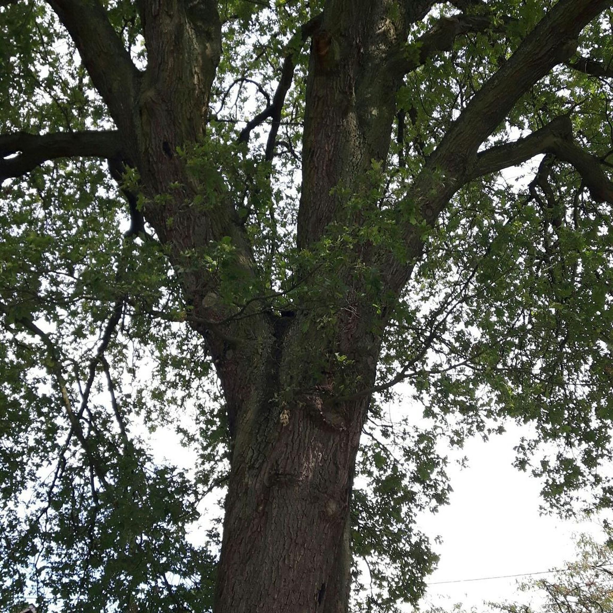
Tips from the Community

Very nice corner Worth visiting
0
0

Interesting animals to discover
0
0
A bit hidden but very beautiful. Children can splash around wonderfully. Kingfishers can be spotted along the shoreline.
0
0
Nesting birds in the wall. If you want to follow the Hermit's Path, you have to follow the path past the wall and then turn sharply left uphill.
0
0

The new bridge has been open since May 2025, and there will be no more wet feet. 🙂
0
0

Beautiful bike path from Schweppenhausen via Windesheim, Guldental, and finally to Bretzenheim. Cafe Löwenzahn is located at the Felsenerimitage (a rock hermitage site worth a visit). The cafe is generally only open on weekends. In summer, you can sit outside.
0
0
Frequently Asked Questions
What types of hiking trails can I find around Bretzenheim?
Bretzenheim offers a diverse range of hiking trails, from easy walks through picturesque vineyards and along the Nahe River Valley to more challenging routes in the rolling hills and dense forests of the Hunsrück Mountains. You'll find a mix of easy paths suitable for families and moderate trails that explore historical sites and natural monuments.
Are there any easy or family-friendly hiking routes in Bretzenheim?
Yes, Bretzenheim has several easy and family-friendly options. For a shorter, gentle walk, consider the Rock Hermitage Bretzenheim – Guldenbach loop from Langenlonsheim, which is just 2.7 km. Another accessible option is the Guldenbach – View of 30 Villages loop from NSG Saukopf, an easy 5.2 km trail.
What are some notable landmarks or viewpoints to see while hiking in Bretzenheim?
Hikers in Bretzenheim can explore several significant landmarks and enjoy breathtaking views. The historic Rotenfels Cliff, the highest escarpment north of the Alps, offers dramatic panoramas. The unique Felseneremitage, a hermitage carved into a cliff, is another must-see. You can also find stunning vistas like the View of Bad Münster am Stein-Ebernburg from the Rotenfels or the View of the Rhine, Nahe confluence, and Binger Mäuseturm.
Are there any long-distance hiking trails that pass through Bretzenheim?
Yes, Bretzenheim is an integral part of the longer Rhine-Nahe Wine Trail, a varied hiking route approximately 95-98 km long. The third stage of this trail leads through the Rotenfels nature reserve and Bad Kreuznach to Bretzenheim, while the fourth stage continues from Bretzenheim to Bingen am Rhein. This trail is particularly appealing to wine lovers and leisure hikers.
Can I find circular hiking routes in the Bretzenheim area?
Many of the trails around Bretzenheim are designed as circular routes, allowing you to start and end at the same point. Examples include the Sandstone Cliff in Hunsrück – Rock Hermitage Bretzenheim loop from Bretzenheim and the View of 30 Villages – Rock Hermitage Bretzenheim loop from Bretzenheim (Nahe), which offers varied terrain and scenic views.
What is the best time of year to go hiking in Bretzenheim?
The region around Bretzenheim is beautiful for hiking throughout much of the year. Spring and autumn are particularly pleasant, with mild temperatures and vibrant colors in the vineyards and forests. Summer offers warm weather, ideal for walks along the Nahe River, while winter can provide a unique, tranquil experience, especially on less challenging paths.
Are there any dog-friendly hiking trails in Bretzenheim?
Many trails in the Bretzenheim area are suitable for hiking with dogs, especially those traversing the natural landscapes of the Hunsrück Mountains and along the Nahe River. It's always recommended to keep dogs on a leash, especially in nature reserves or near vineyards, and to be mindful of local regulations.
What do other hikers enjoy most about hiking in Bretzenheim?
The hiking trails around Bretzenheim are highly rated by the komoot community, with an average score of 4.3 stars from over 500 reviews. Hikers often praise the diverse landscapes, including the picturesque vineyards and the dramatic Rotenfels, as well as the historical intrigue of sites like the Felseneremitage. The well-maintained paths and varied difficulty levels also receive positive feedback.
How challenging are the hikes around Bretzenheim?
Bretzenheim offers a range of difficulties. There are 13 easy routes, perfect for a leisurely stroll, and 7 moderate trails that provide a good workout with some elevation changes. For those seeking a greater challenge, there is also 1 difficult route available. This variety ensures there's something for every fitness level.
Where can I find parking for hiking trails in Bretzenheim?
Parking is generally available near trailheads and in the village of Bretzenheim itself. For specific routes, such as those starting from Bretzenheim or NSG Saukopf, designated parking areas are usually accessible. It's advisable to check the starting point of your chosen route for the most convenient parking options.
Can I reach hiking trailheads in Bretzenheim using public transport?
Bretzenheim is connected by public transport, making it possible to reach some trailheads without a car. The village is part of the regional transport network. For specific routes, it's best to check local bus schedules and connections to determine the most convenient access points to your desired hiking trail.
Are there any cafes or pubs along the hiking routes in Bretzenheim?
Given Bretzenheim's location amidst vineyards and its connection to the Rhine-Nahe Wine Trail, you can often find opportunities for refreshments. Many routes pass through or near villages where cafes, pubs, or traditional 'Straußwirtschaften' (seasonal wine taverns) offer local food and wine, especially during peak seasons.
Most popular routes around Bretzenheim
Most popular attractions around Bretzenheim

Get inspired with the komoot mobile app


Explore more
Browse the best Hikes in other regions.
