The best running trails around Popradzki Park Krajobrazowy
4.8
(89)
3,455
runners
138
runs
Jogging around Popradzki Park Krajobrazowy offers varied terrain within the Beskid Sądecki mountain range, characterized by extensive forests and river valleys. The park is bisected by the Poprad River and features numerous mineral water springs and unique rock formations. Its landscape ranges from gentle river paths to challenging mountain ascents, providing diverse running experiences. Approximately 80% of the park is covered by untouched forests, contributing to its natural appeal for runners.
Best jogging routes around Popradzki Park Krajobrazowy
- The most…
Last updated: July 10, 2026
126
runners
23.1km
03:15
1,030m
1,040m
Hard run. Very good fitness required. Mostly accessible paths. Some sure footedness required.
102
runners
Hard run. Very good fitness required. Mostly paved surfaces. Suitable for all skill levels.

Sign up for free
66
runners
27.4km
03:53
1,200m
1,200m
Hard run. Very good fitness required. Mostly accessible paths. Some sure footedness required.
43
runners
Hard run. Very good fitness required. Mostly paved surfaces. Suitable for all skill levels.
36
runners
10.6km
01:29
410m
410m
Hard run. Very good fitness required. Mostly paved surfaces. Suitable for all skill levels.
Get access to more routes and recommendations from other explorers.
Sign up for free
Already have an account?
Our route recommendations are based on thousands of hikes, rides, and runs completed by other people on komoot.
Start today with a free account
Your next adventure awaits.
Login or Signup
Popular around Popradzki Park Krajobrazowy

Main Beskids Trail — the longest Polish Mountain Trail
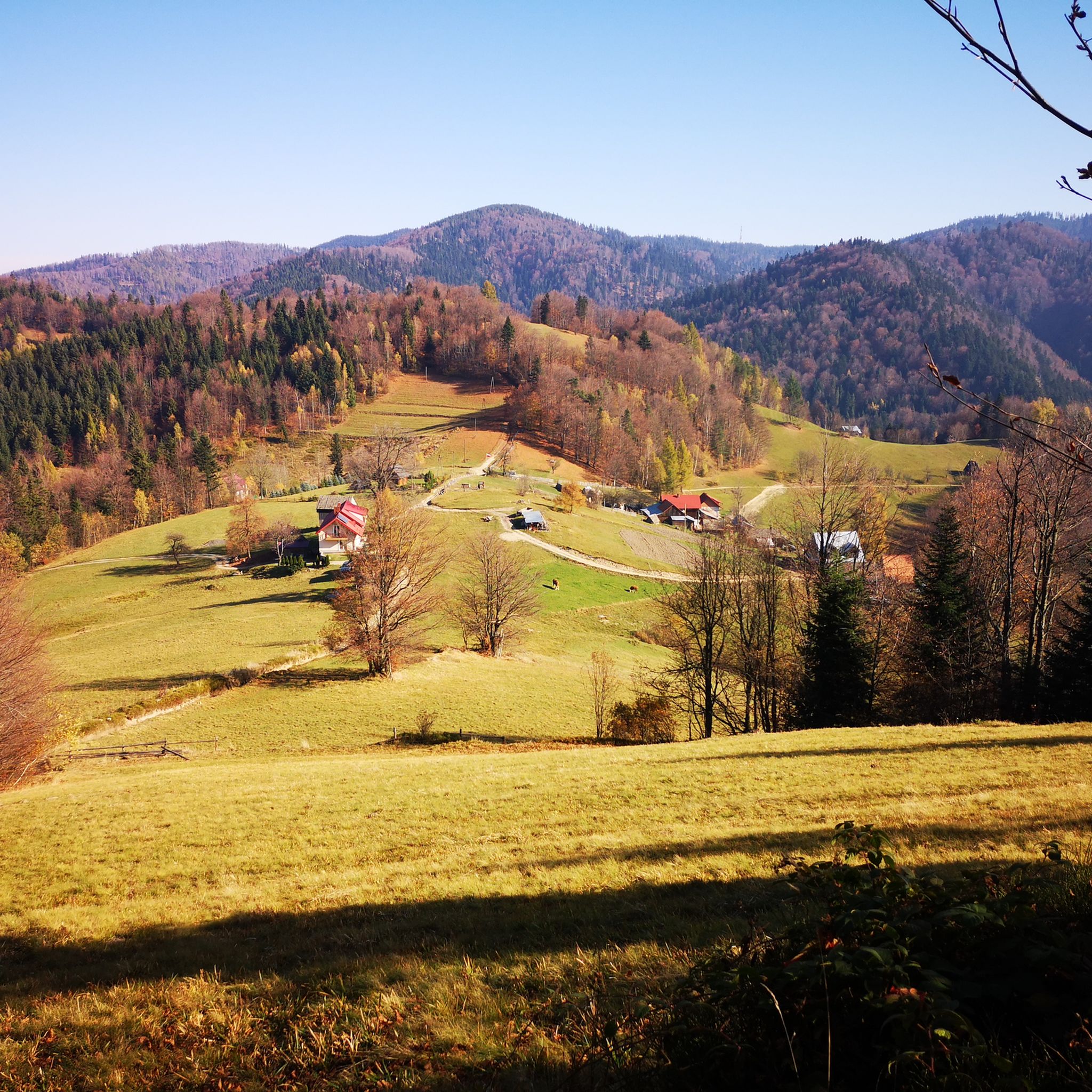
Hiking around Popradzki Park Krajobrazowy
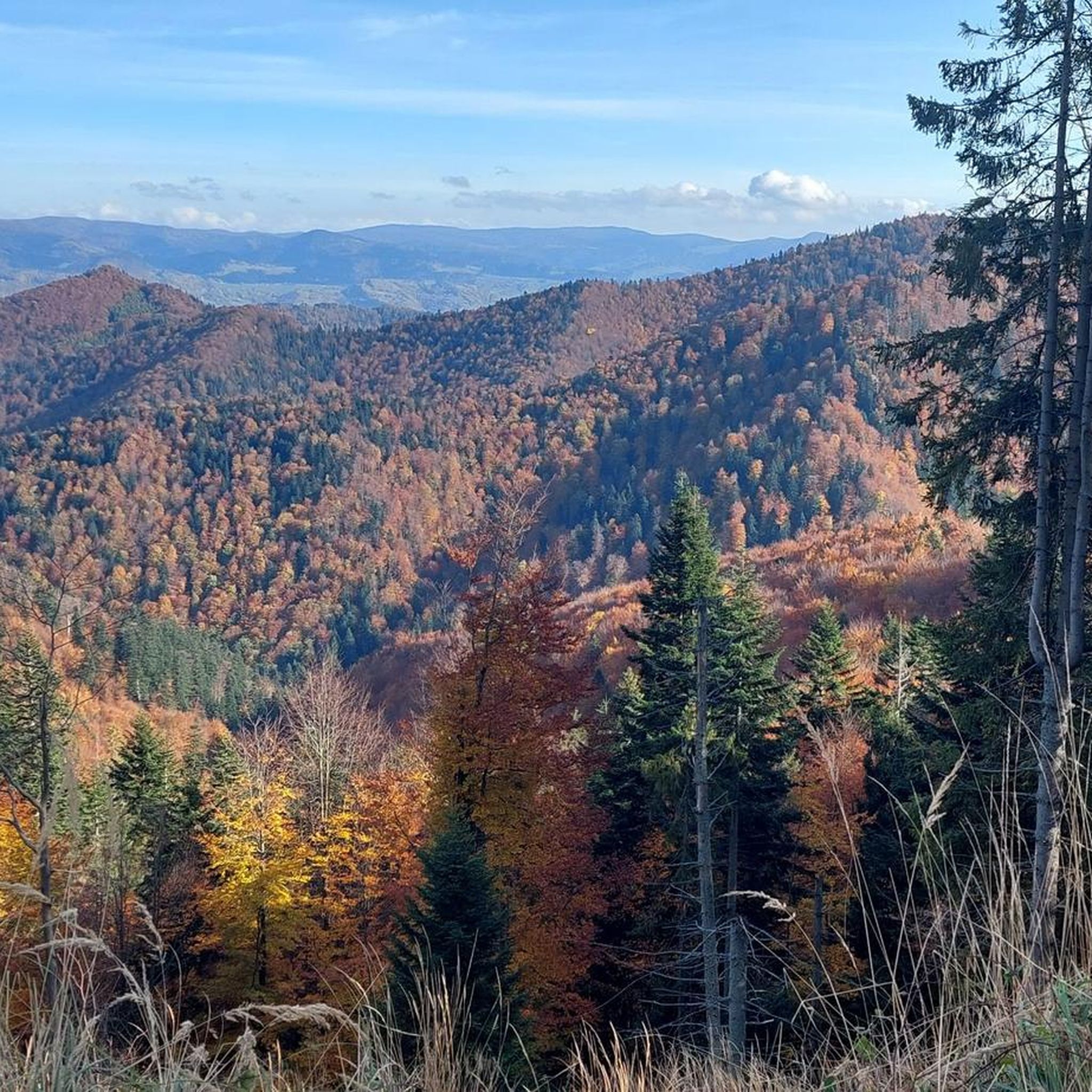
Cycling around Popradzki Park Krajobrazowy
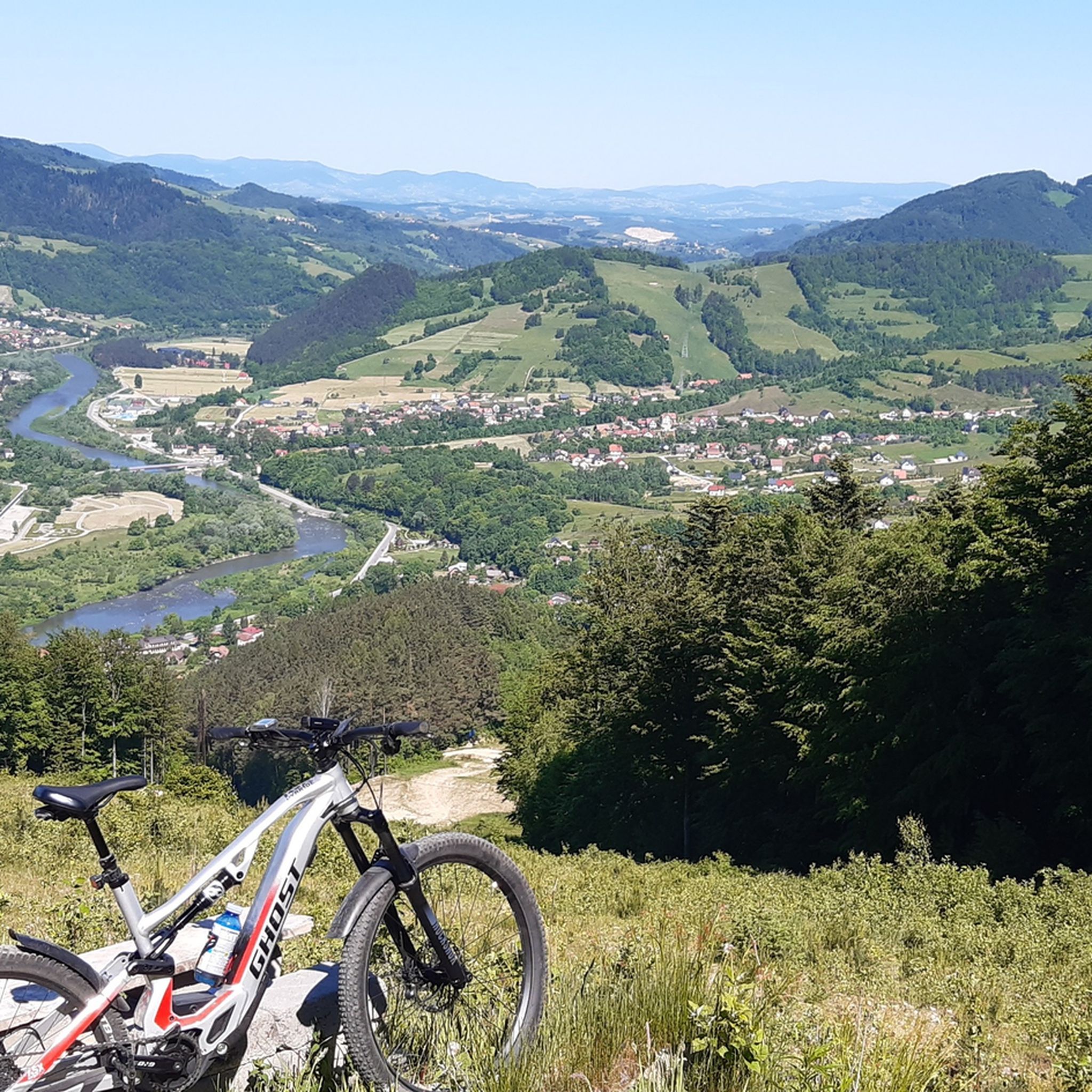
MTB Trails around Popradzki Park Krajobrazowy
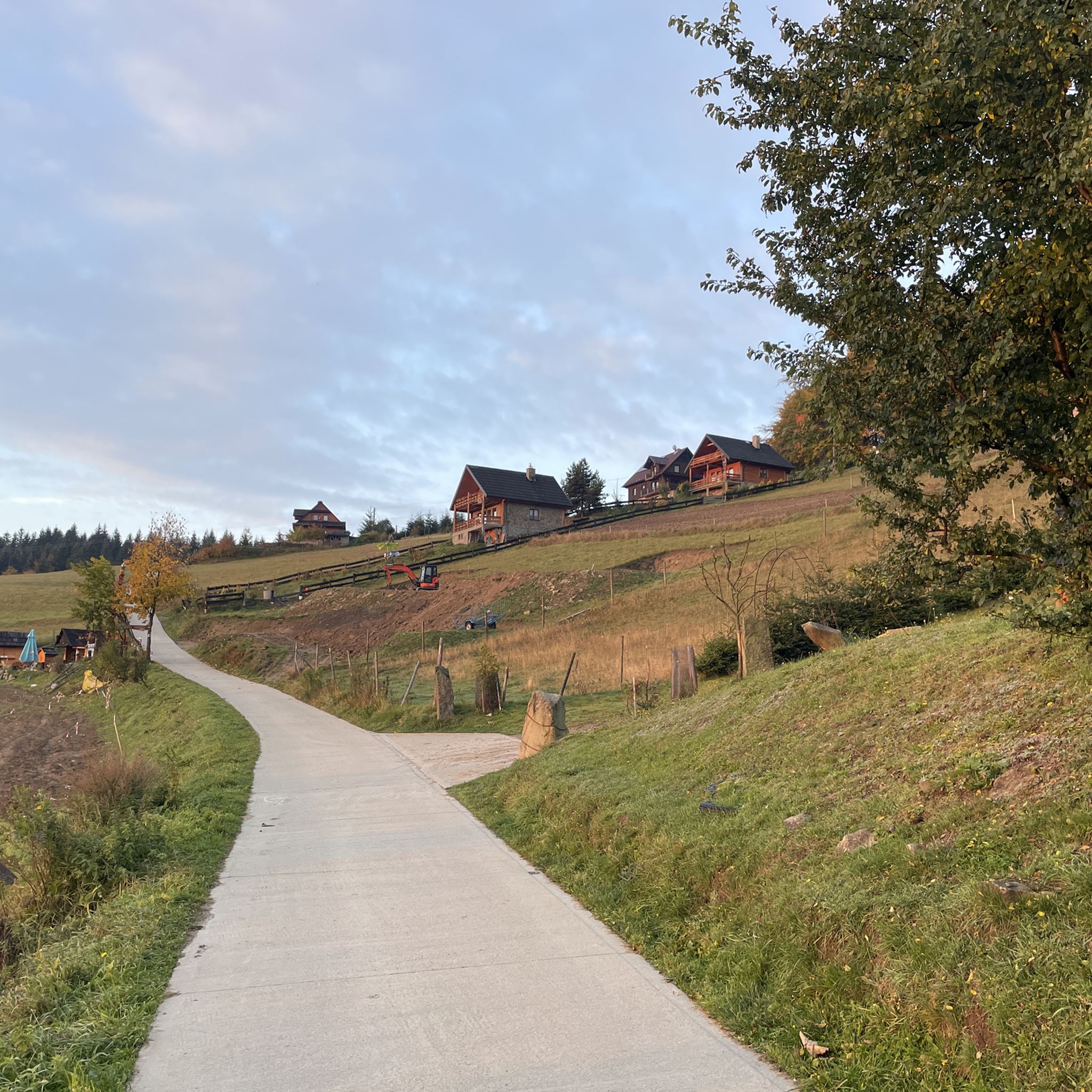
Road Cycling Routes around Popradzki Park Krajobrazowy

Mountain Hikes around Popradzki Park Krajobrazowy

Gravel biking around Popradzki Park Krajobrazowy
Other adventures around Popradzki Park Krajobrazowy

Tips from the Community

At the shelter you can eat and rest. And that's probably the point. Recommended 👍
0
0
Very nice rocks descending the red trail from Jaworzyna towards Czarny Potok. I recommend it👍
0
0

Cyclist-friendly shelter with a charging station outside
0
0

An inanimate natural monument in Jaworzyna Krynicka. It's mushroom-shaped and made of sandstone. One legend has it that it was dropped here by the devil – do you believe it?
1
0
Besides the Main Pump Room, the Old Spa House is the most recognizable building in Krynica. An impressive neo-Renaissance structure, it's impossible to miss it when passing by.
1
0
Here, near Bukowa, there are fewer trees, allowing for stunning mountain panoramas and many other views. With good visibility, it's incredible!
2
0

06/07/2025 - Info for e-bikers: the charger is not working, but you can easily connect your bike to the socket (and politely pay the fee of PLN 5/bike at the Shelter window).
0
0

A magical place, especially at sunset and with the mists falling
0
0
Frequently Asked Questions
What kind of terrain can I expect on running routes in Popradzki Park Krajobrazowy?
The park offers a diverse range of terrain, from gentle river valleys along the Poprad, Muszynka, Wierchomlanka, and Sopotnicki Potok, to more challenging mountain ascents within the Beskid Sądecki. While there are no dedicated running tracks, many marked mountain hiking trails are suitable for experienced runners. Approximately 80% of the park is covered by extensive forests, providing a natural and varied running environment.
Are there any easy or moderate jogging routes available for beginners or those seeking a less strenuous run?
While many routes in Popradzki Park Krajobrazowy are rated as difficult due to the mountainous terrain, there are options for less strenuous runs. You can find 4 routes rated as easy and 32 as moderate among the 123 available. These often follow river valleys or less steep paths, providing a gentler experience. For example, you might explore paths around Parkowa Hill in Krynica-Zdrój for accessible scenic views.
What are some notable natural features or landmarks I might encounter while jogging in the park?
Popradzki Park Krajobrazowy is rich in natural beauty and unique geological formations. You could encounter the impressive Devil's Stone on Jaworzyna Krynicka, a mushroom-shaped rock formation. The park is also known for its abundant mineral water springs, such as the Piwniczanka Spring P-7 Gazebo, and even mofettes, which are natural carbon dioxide exhalations. For a scenic break, consider the Zaskalnik Waterfall.
Are there any routes that offer panoramic views?
Absolutely. The region is known for its stunning vistas. The highest peak, Radziejowa, offers breathtaking panoramic views from its observation tower, extending to the High Tatras, Pieniny, and other Beskid ranges. Parkowa Hill in Krynica-Zdrój is another accessible spot providing beautiful views over the surrounding landscape.
What do other runners say about their experience in Popradzki Park Krajobrazowy?
The running routes in Popradzki Park Krajobrazowy are highly rated by the komoot community, with an average score of 4.7 stars from over 80 reviews. More than 3000 runners have used komoot to explore the park's varied terrain, often praising the extensive, untouched forests and the challenging yet rewarding mountain trails.
Are there any circular running routes in the area?
Yes, many of the routes in Popradzki Park Krajobrazowy are designed as loops, allowing you to start and finish in the same location. For example, the difficult Mały Kicarz loop from gmina Piwniczna-Zdrój is a 10.4 km trail that offers a complete circular experience through the scenic landscape.
Can I bring my dog on the running trails in Popradzki Park Krajobrazowy?
Generally, dogs are permitted on most hiking trails within Popradzki Park Krajobrazowy, which are also used for jogging. However, it's always recommended to keep your dog on a leash, especially in forested areas where wildlife is abundant, and to be mindful of other trail users. Always check local regulations for specific areas within the park.
Are there any family-friendly running options in Popradzki Park Krajobrazowy?
For families, especially those with younger children or looking for a less demanding outing, the flatter paths along the river valleys are ideal. While specific 'family-friendly' marked running trails may not exist, the numerous marked mountain hiking trails offer varying difficulties. Look for routes described as easy or moderate, which often have gentler gradients and more accessible surfaces suitable for a family jog or walk.
What is the best time of year to go jogging in Popradzki Park Krajobrazowy?
The park is beautiful year-round, but spring, summer, and early autumn offer the most pleasant conditions for jogging. Spring brings lush greenery and blooming flora, while summer provides warm weather for longer runs. Autumn is particularly scenic with vibrant fall foliage. Winter running is possible but requires appropriate gear due to snow and potentially icy conditions, especially on higher mountain trails.
Are there any longer, more challenging running routes for experienced trail runners?
Absolutely. Popradzki Park Krajobrazowy is well-suited for experienced trail runners seeking a challenge. Many routes are rated as difficult, featuring significant elevation changes and longer distances. An example is the demanding Wdżary Wyżne – Przehyba loop from Popradzki Park Krajobrazowy, an 18.3 km trail with considerable elevation gain, perfect for a rigorous workout.
Where can I find parking near the running trails?
Parking is generally available in or near the towns and villages surrounding the park, such as Krynica-Zdrój, Muszyna, and Piwniczna-Zdrój, which serve as popular starting points for many routes. Many trailheads, especially those for popular mountain hiking routes, will have designated parking areas. It's advisable to check specific route descriptions for detailed parking information.
Can I access the running routes using public transport?
Yes, the region is served by public transport, particularly to the main health resorts and towns like Krynica-Zdrój, Muszyna, and Piwniczna-Zdrój. These towns often have bus connections that can take you closer to various trailheads. For specific routes, it's best to research local bus schedules to plan your access effectively.
Most popular routes around Popradzki Park Krajobrazowy
Most popular attractions around Popradzki Park Krajobrazowy

Get inspired with the komoot mobile app


Explore more
Browse the best Running Trails & Routes in other regions.
