The best cycling routes around Aguilar Del Alfambra
28
riders
3
rides
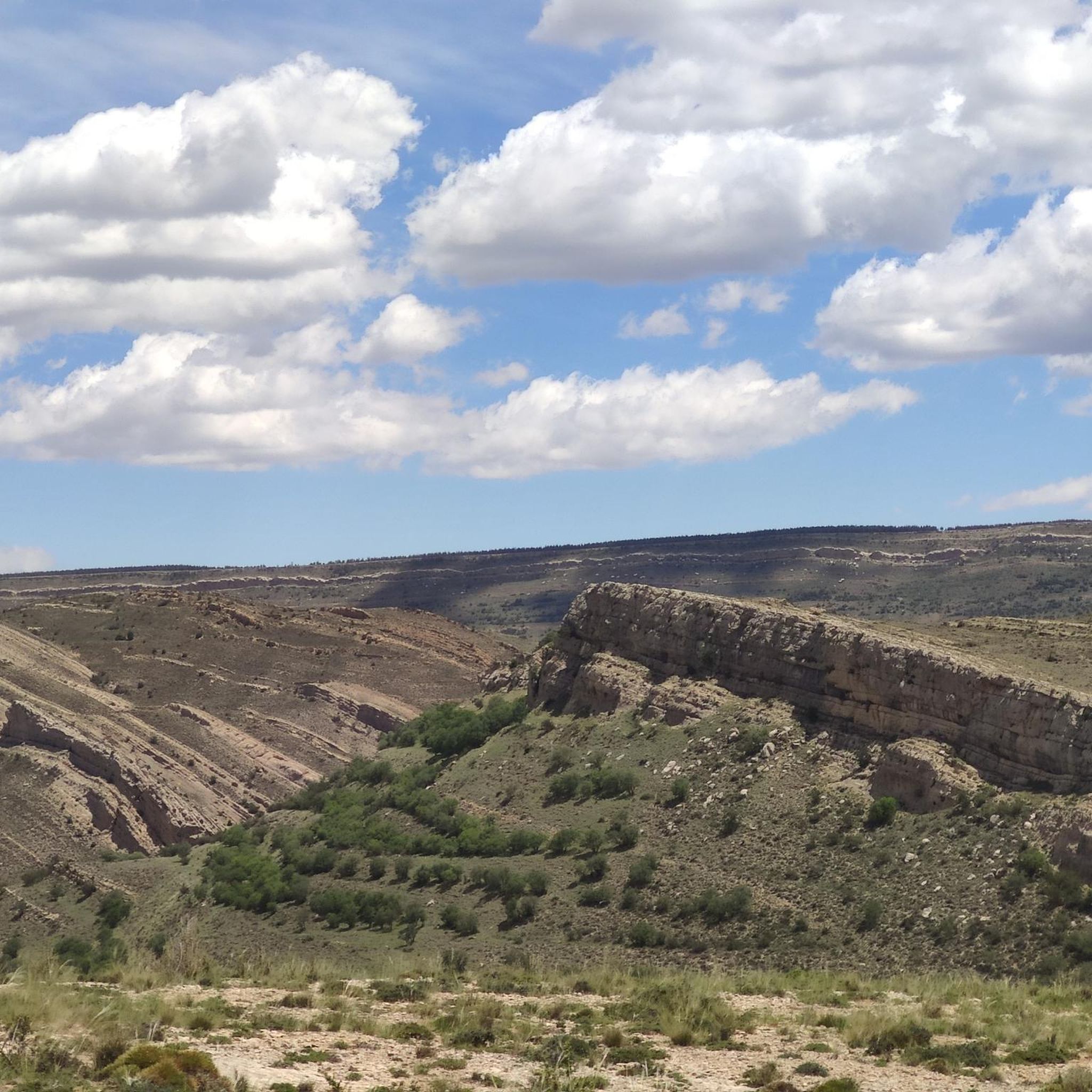
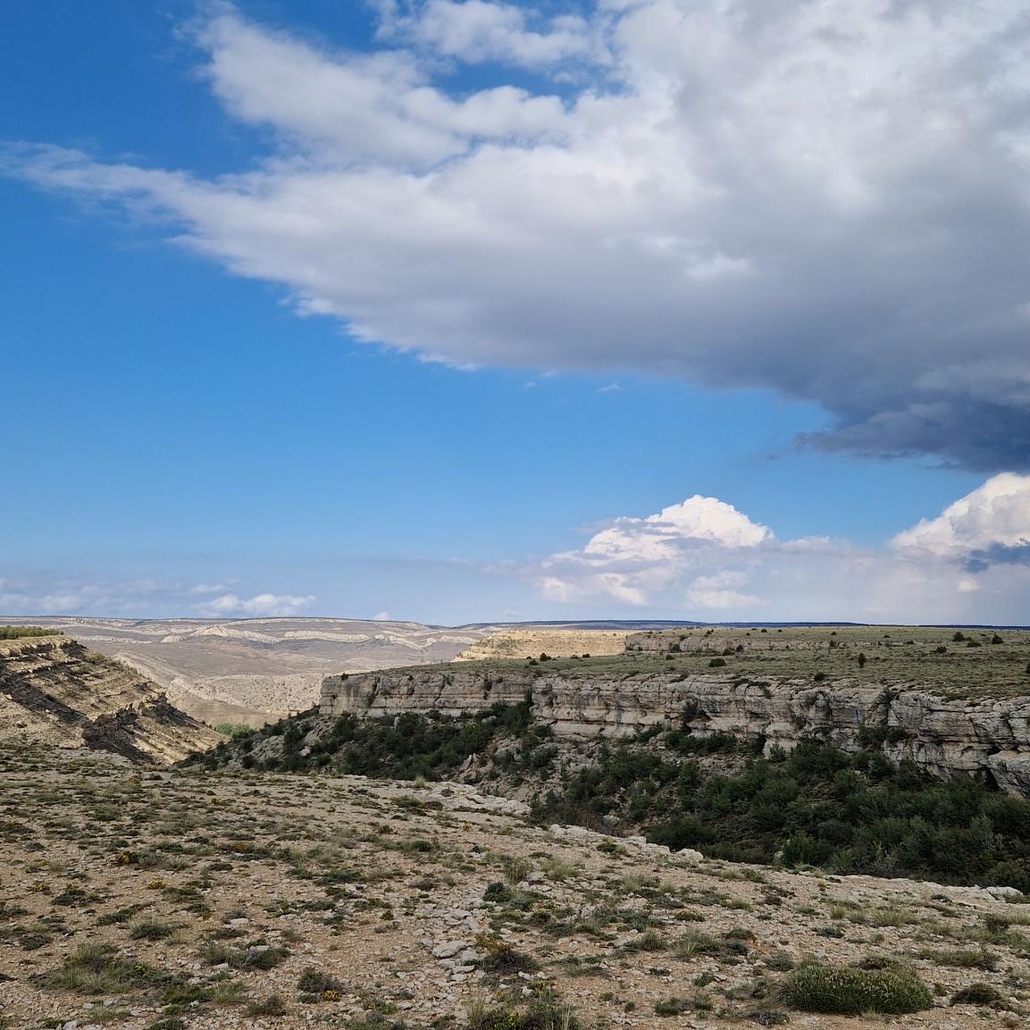
Touring cycling around Aguilar Del Alfambra offers routes through a diverse landscape in the province of Teruel, Spain. The area is characterized by the Alfambra River, which has carved geological formations like the Cluse del Alfambra, and features unique "chopos cabeceros" (pollard willows) along its banks. Cyclists can expect varied terrains, including the rugged Sierra del Pobo, riverine ecosystems, and agricultural fields. This region is recognized for its geological significance and natural beauty.
Best touring cycling routes around Aguilar Del…
Last updated: July 7, 2026
2
riders
This difficult 34.5-mile touring cycling route from Aguilar de Alfambra explores the Sierra del Pobo and historic Camino de los Pilones.
6
riders
46.7km
03:07
630m
630m
Hard bike ride. Very good fitness required. Mostly paved surfaces. Suitable for all skill levels.

Sign up for free
6
riders
38.5km
03:23
540m
540m
Hard bike ride. Very good fitness required. Mostly paved surfaces. Suitable for all skill levels.
6
riders
55.8km
03:36
690m
690m
Hard bike ride. Very good fitness required. Mostly paved surfaces. Suitable for all skill levels.
6
riders
60.6km
04:16
1,160m
1,160m
Hard bike ride. Very good fitness required. Mostly paved surfaces. Suitable for all skill levels.
Our route recommendations are based on thousands of hikes, rides, and runs completed by other people on komoot.
Start today with a free account
Your next adventure awaits.
Login or Signup
Popular around Aguilar Del Alfambra
Tips from the Community

Hermitage of Santa Ana, Ababuj, Teruel.
0
0
Hermitage of the Holy Christ, Aguilar de Alfambra, Teruel.
0
0


Picnic area with many tables at the church with cooking facilities and water
0
0

Alcalá de la Selva is a charming municipality in the province of Teruel, Aragon. Of Arab origin, it offers a stunning view of the town.
4
0

In this town of more than 200 inhabitants, the Guadalope River, which rises in the municipal district, the Agua Blanca River and the Barranco del Cañadizo ravine meet in an extremely abrupt and mountainous terrain. The environment is articulated by the constraints of the environment, which gives it that mountainous but at the same time calm atmosphere. If you like unspoiled nature... so beautiful here
1
0
Alcalá de la Selva is located at an altitude of 1,400 m in the Sierra de Gúdar mountain range. The Alcalá River flows at its feet, feeding an abundance of small vegetable gardens. Today, Alcalá de la Selva, with around 500 inhabitants, is the main winter resort in the province of Teruel.
1
0

There is a fountain to refill water. There is a shop in the same square where you can buy something to eat if you need to.
1
0
Frequently Asked Questions
How many touring cycling routes are available around Aguilar Del Alfambra?
Based on komoot data, there are 5 touring cycling routes in the area. All of them are considered difficult, offering a challenging experience for cyclists.
What is the general difficulty level of touring cycling routes in Aguilar Del Alfambra?
All touring cycling routes listed for Aguilar Del Alfambra are rated as difficult. They often involve significant elevation changes and varied terrains, including mountain ranges and river gorges, making them suitable for experienced cyclists.
Are there any circular touring cycling routes in the region?
Yes, several routes are circular. For example, the Sierra del Pobo and Camino de los Pilones – circular from Aguilar de Alfambra offers a challenging loop through the Sierra del Pobo. Another option is the Alcalá de la Selva – Alcalá de la Selva Castle loop from Allepuz, which explores historical landmarks and varied terrain.
What natural features can I expect to see while cycling in Aguilar Del Alfambra?
The region is known for its diverse natural beauty. You can expect to encounter the dramatic 'Cluse del Alfambra' or 'El Estrecho', a geological formation where the Alfambra River has carved a gorge. The area is also part of the Chopo Cabecero Cultural Park, featuring unique 'chopos cabeceros' (pollard willows) along the riverbanks. Varied terrains from rugged sierras to lush riverbanks are common.
Are there any historical or cultural landmarks along the cycling routes?
Yes, the area is rich in history. The village of Aguilar del Alfambra itself has historical sights like the 17th-century town hall, the Church of San Pedro Apóstol, and the Fuente del Bacio. The Alcalá de la Selva – Alcalá de la Selva Castle loop from Allepuz specifically includes historical landmarks. You might also pass through areas with remains of ancient castles and hermitages.
What is the best time of year for touring cycling in Aguilar Del Alfambra?
Aguilar del Alfambra offers diverse landscapes that can be enjoyed across seasons. While specific recommendations depend on personal preference for weather, spring and autumn generally provide milder temperatures ideal for cycling. Summers can be warm, and winters may bring colder conditions, especially in the higher elevations of the Sierra del Pobo.
Are there any viewpoints or scenic spots accessible by bike?
Absolutely. The region offers impressive views, particularly from the hermitage of Virgen de la Peña, which provides panoramic vistas of the multi-colored fields and poplar rows along the Alfambra River. The dramatic 'El Estrecho' gorge is another natural spectacle. Routes like the Cedrillas – Peñarroya Summit Viewpoint loop from Cedrillas are designed to lead to scenic spots.
What kind of terrain should I expect on these touring cycling routes?
The terrain is quite varied, ranging from the ruggedness of the Sierra del Pobo and the Alfambra cliffs to the greener riverbanks. You'll encounter forest and livestock landscapes, as well as cereal fields and clayey terrains. The routes are generally challenging, reflecting the diverse topography of the Teruel province.
Are there any specific attractions or points of interest I should look out for?
Beyond the routes themselves, you can explore several points of interest. Consider visiting Villarroya de los Pinares, the Sanctuary of the Virgin of the Field, or the impressive Gorge of the Río de la Val. The Pilones Trail is also a notable historical site.
What do other touring cyclists enjoy most about cycling in Aguilar Del Alfambra?
Cyclists using komoot often appreciate the challenging nature of the routes and the stunning natural scenery. The unique geological formations, like the Cluse del Alfambra, and the picturesque 'chopos cabeceros' along the river are frequently highlighted as memorable aspects of the region's touring cycling experience.
Are there any routes that pass through the Chopo Cabecero Cultural Park?
Aguilar del Alfambra is situated within the Chopo Cabecero Cultural Park, so many routes will offer views of this unique landscape. The Alfambra River, with its distinctive pollard willows, is a central feature of the area, and cycling along its banks provides a great way to experience the park's natural beauty.
What is the longest touring cycling route available?
The longest touring cycling route listed is the Cedrillas – Peñarroya Summit Viewpoint loop from Cedrillas, which spans approximately 92.9 kilometers (57.7 miles) and involves significant elevation gain, making it a substantial challenge.
Most popular routes around Aguilar Del Alfambra
Most popular attractions around Aguilar Del Alfambra

Get inspired with the komoot mobile app


Explore more
Browse the best Cycling routes in other regions.
